The 6 Most Amazing Peaks around Isola Vicentina
Best mountain peaks around Isola Vicentina are found at the foot of the Prelessini mountains, also known as the Vicentine Prealps, in Italy's Veneto region. This area, historically situated between rivers, features significant hills and elevated zones rather than high alpine peaks. These locations offer scenic views and diverse hiking opportunities. The varied landscape, rich in wooded areas, provides numerous trails for exploration.
Best mountain peaks around Isola Vicentina
- The most popular mountain peaks is View from Monte Verlaldo,…
Last updated: July 13, 2026
Croce del Sojo (Monte Soglio)
Highlight • Summit
Translated by Google •
Tip by

View from Monte Verlaldo
Highlight • Viewpoint
Translated by Google •
Tip by

Sign up now to discover places like this
Get recommendations on the best single tracks, peaks, & plenty of other exciting outdoor places.
Sign up for free
Massignani Cross
Highlight • Viewpoint
Translated by Google •
Tip by
Monte Crocetta
Highlight • Viewpoint
Translated by Google •
Tip by
Mución (cross)
Highlight • Summit
Translated by Google •
Tip by
Start today with a free account
Your next adventure awaits.
Login or Signup


Tips from the Community

Panoramic excursion near Cornedo Vicentino
0
0

Monte Sojo (in the Vicenza dialect) or Soglio (in Italian) is a large rocky spur 700m above sea level. The summit offers a wide panorama of the Alto Vicentino, the Pedemontana, the entrance to the Val Leogra and the Piccole Dolomiti that surround it: Pasubio, Novegno and Summano. Precisely because of its dominant position and the view it offers, during the First World War it was integrated into the defensive line of Ortogonale 1: after the offensive of 1916, when the danger of an Austro-Hungarian advance towards the plain became concrete, it became a stronghold with numerous loopholes, observation posts and positions for light weapons dug into the rock.
2
0
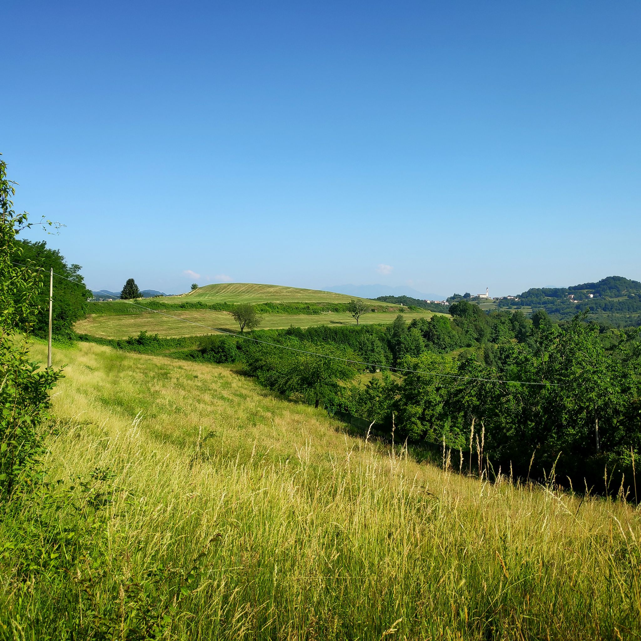
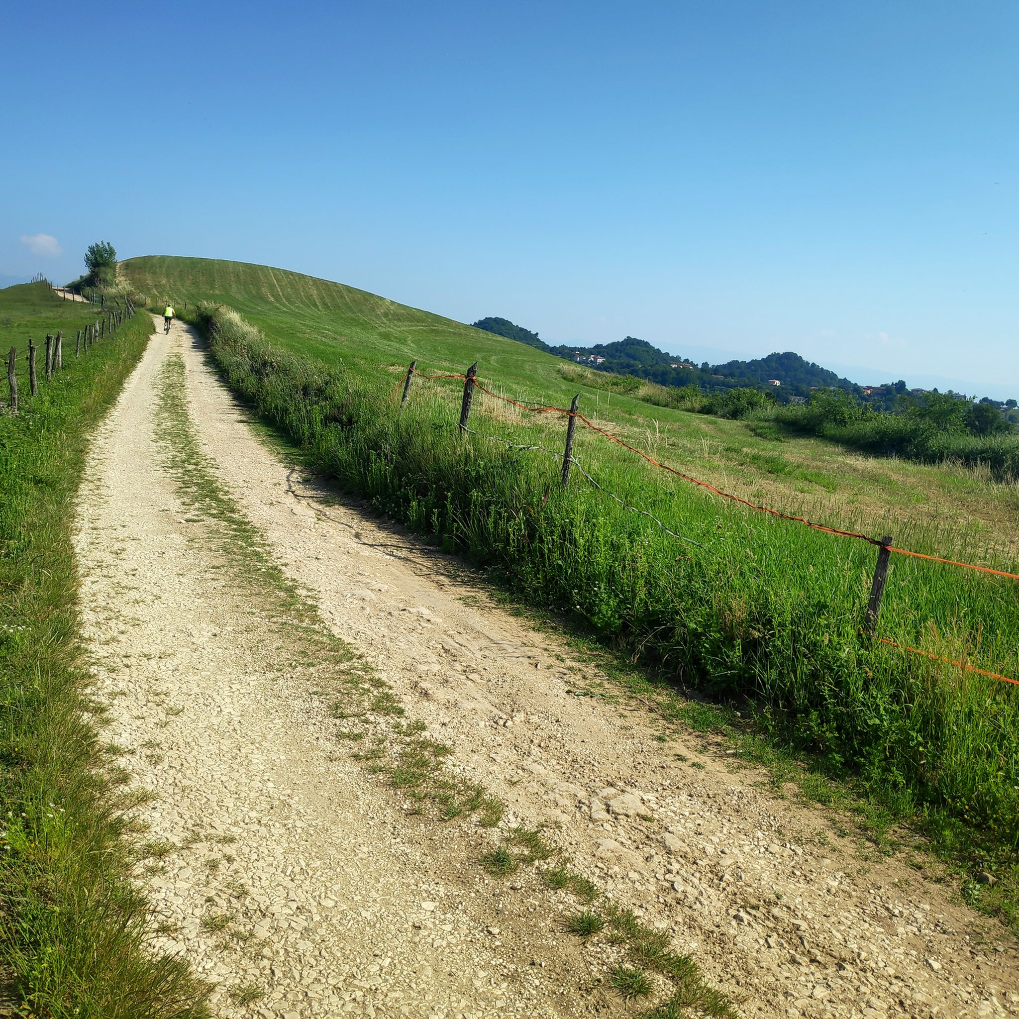
Monte Verlaldo is a rounded relief of modest height (580m above sea level), but thanks to its position and its summit free from shrubs it offers a beautiful view of the Agno Valley (in reality very anthropized and industrialized) and the Piccole Dolomiti. Together with the nearby Monte Nudo, it is in fact the southern outpost of the Faedo plateau, and the watershed between the Agno Valley and the Priabona Valley. The name 'Verlaldo' seems to derive from the Verlato family who owned several lands here. https://it.wikipedia.org/wiki/Monte_Verlaldo
2
0
The Cima dei Massignani is a beautiful and privileged panoramic terrace overlooking the Agno Valley and the Piccole Dolomiti that crown it. Nearby, there is a trigonometric point indicating the main visible peaks. N.B.: Today, September 2024, the cross has collapsed and rested on the ground, likely due to rotting wood at the base.
2
0
Mución is a summit (it is excessive to call it 'mountain') of ancient volcanic origin: proof of this is the pyramid shape and the outcrops of basaltic rocks on the surrounding paths. The name Mucòn (in Italian Mucchione, large pile) takes its name from its conical shape, which from the plain makes it very recognizable among the hills. Via a short but challenging path you reach the top: there is a simple wooden cross but no view, due to the dense forest all around.
2
0

Excellent "mountain" to enjoy a fantastic view, various feasible routes, suitable for everyone. Just pay attention to the track because you risk losing it and ending up in the middle of the roller coasters.
0
0
Cross on the ridges between Monte Faedo and Pialon
0
0
Monte Crocetta is actually not a mountain, but a modest rocky peak (about 300 meters above sea level) which rises among the thick woods of the 'Castellon', i.e. the hills above Magrè: but despite the modest height, you can enjoy a wide panorama of all the Vicenza Prealps, the city of Schio and the plain.
1
0
Frequently Asked Questions
What are the most popular elevated areas to visit around Isola Vicentina?
The region around Isola Vicentina, part of the Vicentine Prealps, features significant hills and elevated areas rather than high alpine peaks. Popular spots include View from Monte Verlaldo, which offers a special view over the Agno valley and the Piccole Dolomiti. Another highly regarded location is Croce del Sojo (Monte Soglio), a summit providing a wide panorama of the Alto Vicentino and the surrounding mountains.
Are there family-friendly elevated areas or walks near Isola Vicentina?
Yes, Monte Crocetta is considered family-friendly. While it's a modest rocky peak, it offers a wide panorama of the Vicenza Prealps and the plain. The area around Isola Vicentina, with its varied landscape and wooded zones, also provides numerous trails suitable for peaceful walks, including those part of the 'Cammina con noi' network.
What kind of views can I expect from the elevated areas around Isola Vicentina?
From various elevated points, you can expect panoramic views of the Vicentine countryside, the Agno Valley, and the majestic Piccole Dolomiti. For instance, View from Monte Verlaldo and Croce del Sojo (Monte Soglio) are known for their extensive vistas. Even modest peaks like Monte Crocetta offer wide views of the Prealps and the city of Schio.
Are there historical sites or natural monuments on these elevated areas?
Yes, Croce del Sojo (Monte Soglio) is a significant historical site. Due to its dominant position, it was integrated into a defensive line during the First World War, featuring loopholes, observation posts, and positions for light weapons dug into the rock. The area also has natural points of interest like the Buso del Covolo, a karst cavity, and the Naturalistic Center of Bosco della Guizza.
What outdoor activities can I do near the elevated areas of Isola Vicentina?
The region is excellent for various outdoor activities. You can find numerous hiking trails, from gentle paths to more challenging ascents, winding through the hills and wooded areas. There are also many cycling opportunities. For detailed routes, you can explore guides like Hiking around Isola Vicentina, Cycling around Isola Vicentina, and Road Cycling Routes around Isola Vicentina.
What is the best time to visit the elevated areas around Isola Vicentina for hiking?
The hills and elevated areas around Isola Vicentina are generally pleasant for hiking during spring, early summer, and autumn when temperatures are milder. These seasons offer lush greenery or vibrant fall colors, enhancing the natural beauty of the wooded trails. Winter hiking is also possible, but some paths might be slippery or require appropriate gear, especially at higher elevations.
Are there any unique geological features among the elevated areas?
Yes, Mución (cross) is a summit of ancient volcanic origin. Its pyramid shape and the basaltic rock outcrops on the surrounding paths are evidence of its geological past. The name 'Mución' (meaning 'large pile') refers to its conical form, which makes it recognizable from the plain.
What are some challenging hikes in the Isola Vicentina region?
Monte San Donato is noted for offering a challenging hike that rewards with awe-inspiring vistas over the surrounding area. While specific trail details vary, the region's diverse terrain includes paths suitable for those seeking a more demanding adventure, often leading to panoramic viewpoints.
Can I find circular walking routes in the hills of Isola Vicentina?
Yes, the 'Colline Vicentine' (Hills of Isola Vicentina) are home to numerous trails, many of which are part of networks like 'Cammina con noi,' offering circular routes. These paths wind through varied landscapes, including wooded areas and rural countryside, providing opportunities for immersive walks. For example, the classic route through hills and valleys climbing Monte Castello can be part of a circular itinerary.
What is the general elevation and terrain like for hiking in Isola Vicentina?
Isola Vicentina itself sits at a modest elevation of 55-76 meters above sea level. The 'mountain peaks' in the area are more accurately described as significant hills or elevated areas, ranging from around 300 meters (like Monte Crocetta) to 700 meters (like Croce del Sojo (Monte Soglio)). The terrain is varied, featuring wooded zones, rocky spurs, and open countryside, offering a mix of gentle slopes and more challenging ascents.
What do visitors appreciate most about the elevated areas around Isola Vicentina?
Visitors particularly enjoy the natural beauty and the peaceful ambiance of the Prelessini foothills. The panoramic views, especially from spots like View from Monte Verlaldo, are highly valued. The diverse hiking opportunities, ranging from easy walks to more challenging trails, and the chance to explore varied ecosystems also contribute to a rewarding experience.
Are there any specific viewpoints overlooking the Agno Valley?
Yes, both View from Monte Verlaldo and Massignani Cross on Cima dei Massignani offer beautiful panoramic views overlooking the Agno Valley and the Piccole Dolomiti.
Most popular routes around Isola Vicentina
Most popular attractions around Isola Vicentina

Get inspired with the komoot mobile app


Explore more
See even more amazing summits around Isola Vicentina with these guides:
