The 9 Most Amazing Peaks around Nogarole Vicentino
Best mountain peaks around Nogarole Vicentino provide access to the mountainous area of the Vicenza province, including parts of the Little Dolomites. The region offers diverse hiking opportunities to summits and viewpoints in its vicinity. Nogarole Vicentino is situated in a landscape characterized by varied terrain, from rocky spurs to rounded reliefs. This area is known for its natural beauty and historical connections, offering numerous outdoor activities.
Best mountain peaks around Nogarole Vicentino
- The most popular mountain peaks is Cima…
Last updated: June 29, 2026
Croce del Sojo (Monte Soglio)
Highlight • Summit
Translated by Google •
Tip by

Cima Marana Summit Cross
Highlight • Summit
more information: it.wikipedia.org/wiki/Cima_Marana
Translated by Google •
Tip by

Sign up now to discover places like this
Get recommendations on the best single tracks, peaks, & plenty of other exciting outdoor places.
Sign up for free
View from Monte Verlaldo
Highlight • Viewpoint
Translated by Google •
Tip by

Massignani Cross
Highlight • Viewpoint
Translated by Google •
Tip by
Croce dei Castiglieri
Highlight • Summit
Translated by Google •
Tip by
Sign up for free to discover even more peaks around Nogarole Vicentino.
Sign up for free
Already have an account?
Start today with a free account
Your next adventure awaits.
Login or Signup

Tips from the Community

Panoramic excursion near Cornedo Vicentino
0
0

Monte Sojo (in the Vicenza dialect) or Soglio (in Italian) is a large rocky spur 700m above sea level. The summit offers a wide panorama of the Alto Vicentino, the Pedemontana, the entrance to the Val Leogra and the Piccole Dolomiti that surround it: Pasubio, Novegno and Summano. Precisely because of its dominant position and the view it offers, during the First World War it was integrated into the defensive line of Ortogonale 1: after the offensive of 1916, when the danger of an Austro-Hungarian advance towards the plain became concrete, it became a stronghold with numerous loopholes, observation posts and positions for light weapons dug into the rock.
2
0
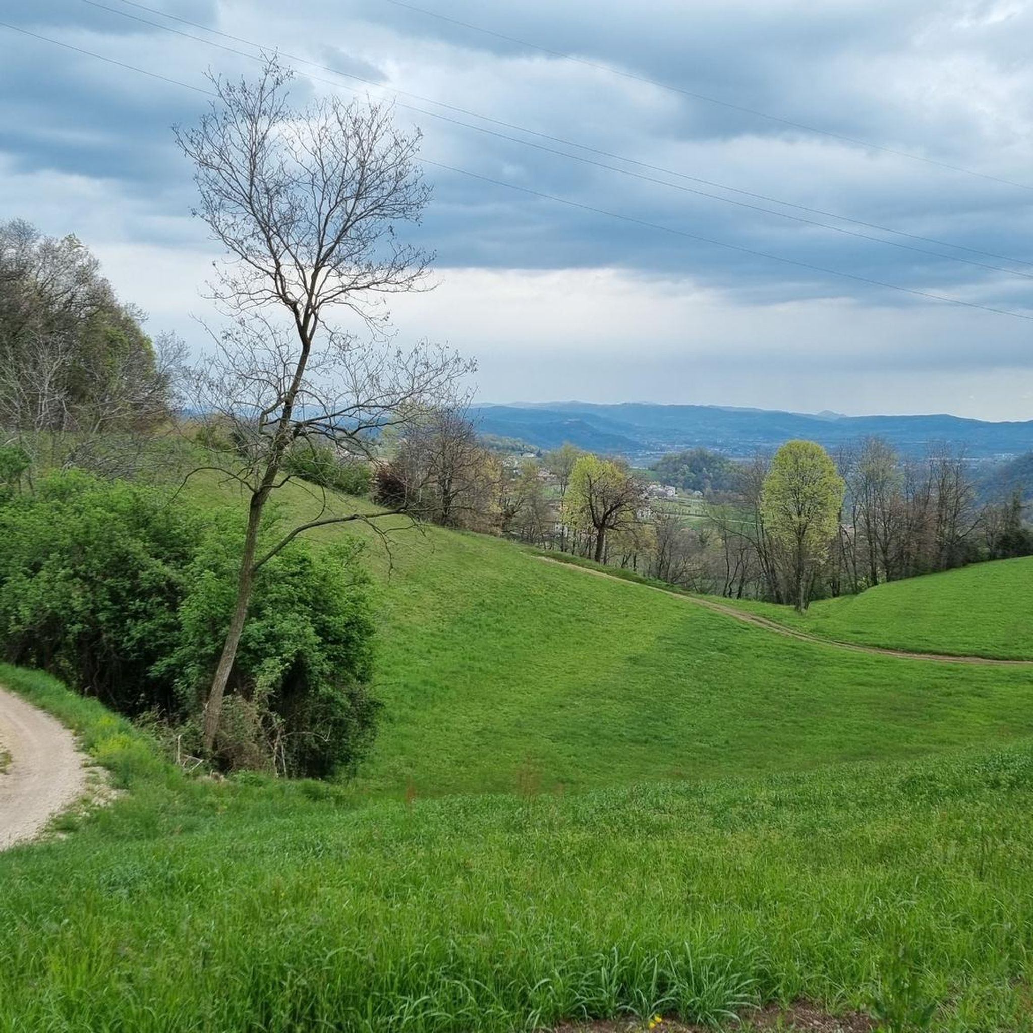
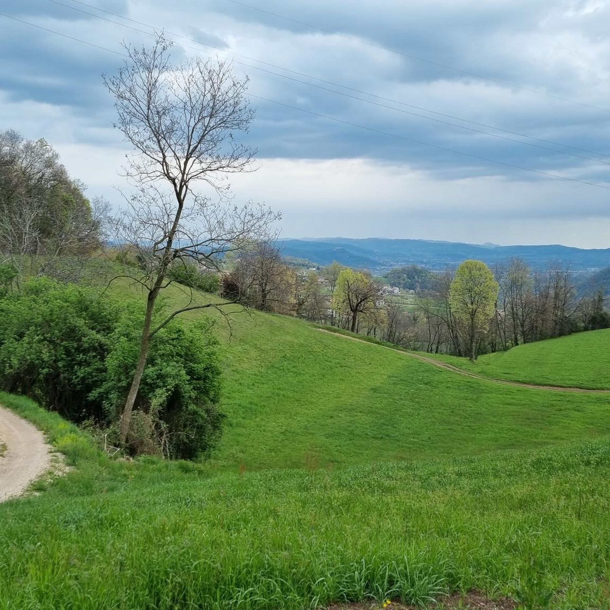
Monte Verlaldo is a rounded relief of modest height (580m above sea level), but thanks to its position and its summit free from shrubs it offers a beautiful view of the Agno Valley (in reality very anthropized and industrialized) and the Piccole Dolomiti. Together with the nearby Monte Nudo, it is in fact the southern outpost of the Faedo plateau, and the watershed between the Agno Valley and the Priabona Valley. The name 'Verlaldo' seems to derive from the Verlato family who owned several lands here. https://it.wikipedia.org/wiki/Monte_Verlaldo
2
0
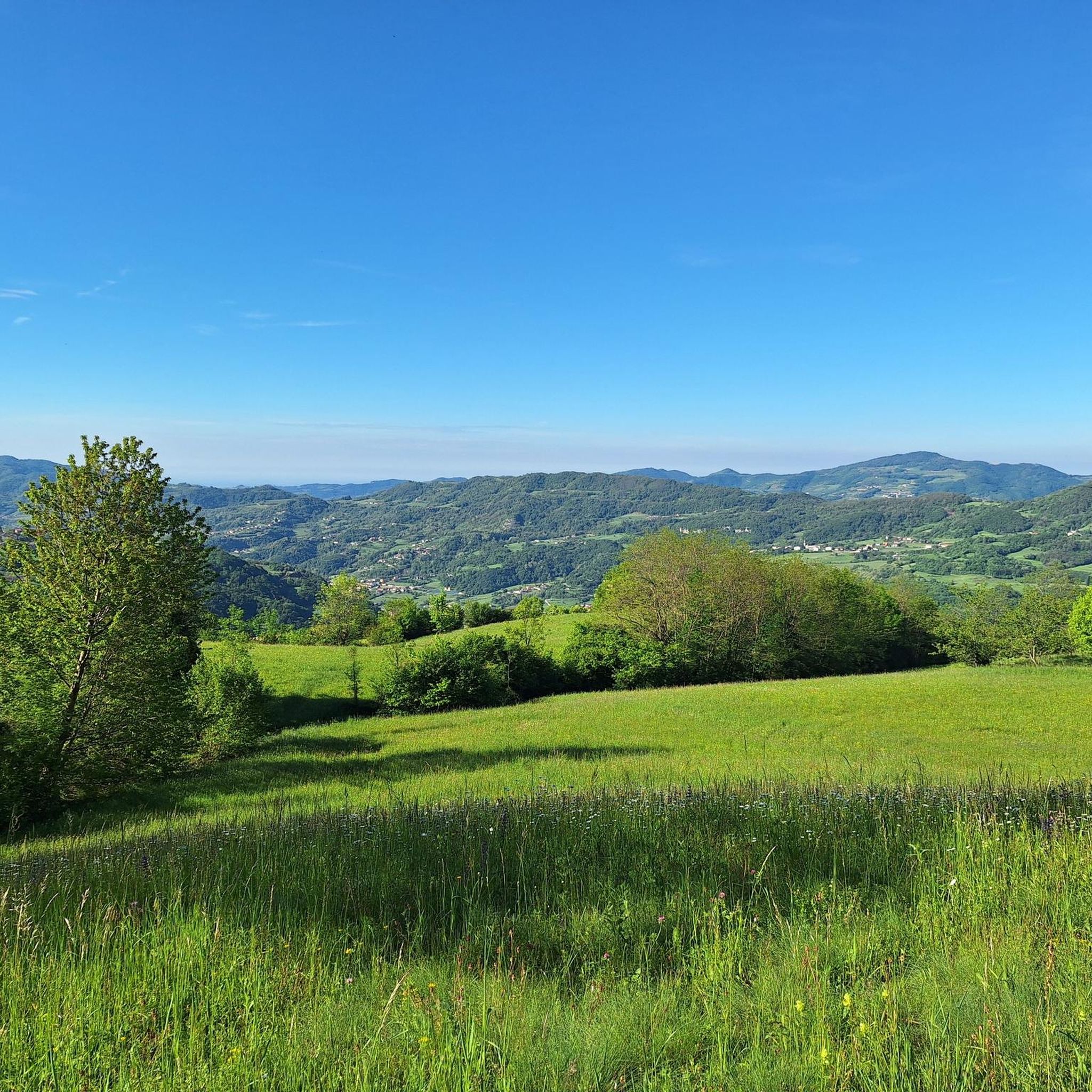
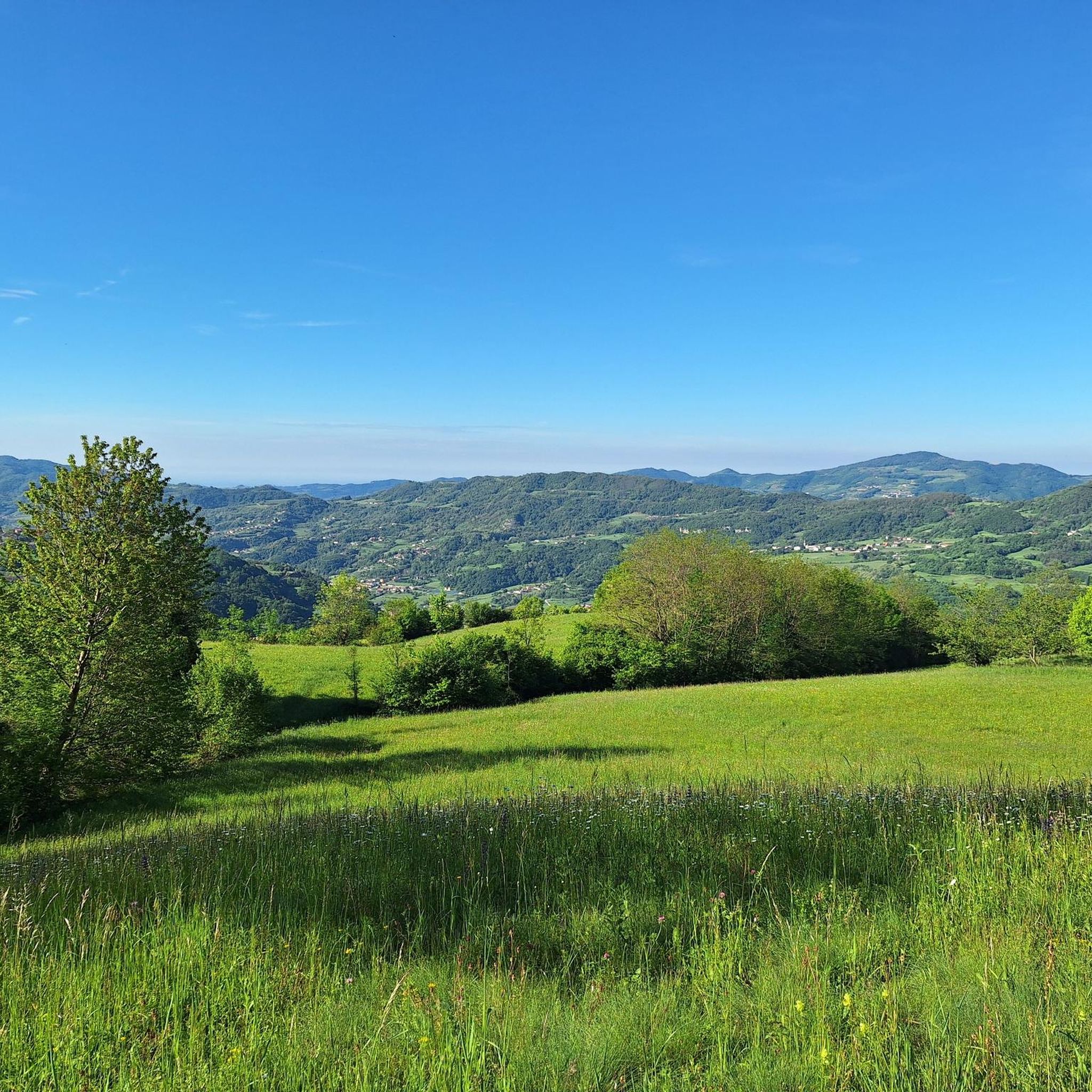
The Cima dei Massignani is a beautiful and privileged panoramic terrace overlooking the Agno Valley and the Piccole Dolomiti that crown it. Nearby, there is a trigonometric point indicating the main visible peaks. N.B.: Today, September 2024, the cross has collapsed and rested on the ground, likely due to rotting wood at the base.
2
0
The Croce dei Castiglieri hosts a wonderful terrace with a 360° view that ranges from the Little Dolomites to the Asiago Plateau, and over the valleys, districts, hills and plains. The climb is quite demanding and has exposed sections in the steep forest. 'Castiglieri' is the name of the ridge of spiers of which the cross represents the central and summit point.
2
0

Cross on the ridges between Monte Faedo and Pialon
0
0
The Castilian cross or the highest point of the path, from there you can admire the surrounding mountains with binoculars and you can even see Monte Falcone
0
0

Cima Marana is a mountain in the Tre Croci chain in the Little Dolomites. It embraces the entire mountainous part of the Municipality of Crespadoro, in the province of Vicenza. more information: https://it.wikipedia.org/wiki/Cima_Marana
2
0
Frequently Asked Questions
What are some notable mountain peaks to explore around Nogarole Vicentino?
The region around Nogarole Vicentino offers several compelling mountain peaks. Cima Marana Summit Cross is a prominent mountain in the Tre Croci chain of the Little Dolomites, known for its extensive panoramic views. Other significant spots include View from Monte Verlaldo, offering a special view over the Agno Valley, and Croce del Sojo (Monte Soglio), a large rocky spur with a wide panorama of the Alto Vicentino.
Which mountain peaks offer the most extensive panoramic views?
For breathtaking panoramas, Cima Marana Summit Cross is highly recommended. From its 1554-meter summit, you can see Lake Garda, the peaks of Pasubio and Carega, the Asiago Plateau, Monte Grappa, the Brenta Group, Adamello, and even the distant Dolomites on clear days. Bocchetta Paù, located between Monte Paù and Cima Fàvaro, also provides a spectacular and expansive view of the Veneto plain and the Piccole Dolomiti.
Are there any historically significant mountain peaks near Nogarole Vicentino?
Yes, several peaks have historical importance. Croce del Sojo (Monte Soglio) was integrated into a defensive line during the First World War due to its dominant position. Cima Marana Summit Cross was a favored resort for scholars and even Queen Margherita in the late 19th century. Additionally, the former Calvarina military base on Monte Calvarina is a historical site with panoramic views.
What kind of hiking opportunities are available on these peaks?
The region offers diverse hiking opportunities. For example, Cima Marana Summit Cross has multiple well-marked paths to its summit, catering to different preferences, with some routes being quite challenging. Many peaks, like Monte Cocco, feature mixed paths of gravel and grassland. You can find various hiking trails in the area, including moderate loops like the "Chiesetta del Faldo – Monte Faldo Summit Cross loop from Nogarole Vicentino" which is 11.3 km long. For more options, explore the Hiking around Nogarole Vicentino guide.
What is the best time of year to visit the mountain peaks around Nogarole Vicentino?
While the region offers beauty year-round, late spring to early autumn (May to October) is generally the best time for hiking, when trails are clear and weather is pleasant. Some routes, particularly those with significant elevation gain like certain paths on Cima Marana, can be challenging in winter due to snow and ice, requiring good fitness and sure-footedness.
Are there any unique natural or man-made features on these peaks?
Yes, several peaks feature unique points of interest. View from Monte Verlaldo features a cross that is illuminated in the evening, visible from the valley. Dente di Attila is a notable rocky outcrop on a sheer cliff. The Massignani Cross on Cima dei Massignani offers a beautiful panoramic terrace. Bocchetta Paù features the Madonnina dei Crauti Monument and a pastoral area with a grazing pond.
What outdoor activities can I do near the mountain peaks around Nogarole Vicentino?
Beyond hiking, the area around Nogarole Vicentino offers a variety of outdoor activities. You can find numerous routes for mountain biking, such as the "Val del Chiampo Cycle Path – Guà River Cycle Path loop from Chiampo" (45.5 km, moderate). There are also running trails, including the "Monte Madarosa – Monte Persico loop from Chiampo" (11.1 km, difficult). For more details, check out the MTB Trails around Nogarole Vicentino and Running Trails around Nogarole Vicentino guides.
Are there any annual events associated with the mountain peaks?
Yes, Cima Marana Summit Cross hosts an annual tradition. Every year, at the end of July, the Cima Marana group organizes a traditional cross festival, offering a unique opportunity to combine scenic contemplation with local interaction.
What do visitors particularly enjoy about the mountain peaks around Nogarole Vicentino?
Visitors appreciate the diverse natural beauty, from rocky spurs to rounded reliefs, and the extensive panoramic views offered by many summits. The historical connections, such as the WWI defensive lines on Monte Soglio and the former NATO base on Monte Calvarina, also add a unique dimension to the experience. The variety of hiking opportunities, catering to different fitness levels, is also a major draw.
Are there any peaks suitable for beginners or those looking for easier routes?
While some peaks offer challenging ascents, there are also more accessible panoramic spots and moderate trails. For example, View from Monte Verlaldo is a rounded relief of modest height, offering beautiful views without extreme difficulty. The "View of the Mountains loop from Chiampo" is a moderate 6.5 km hiking route that could be suitable for beginners. Always check route descriptions for difficulty levels before heading out.
Can I find information about parking or public transport for these mountain trails?
Specific details on parking and public transport for each individual trail are best found within the detailed route descriptions on Komoot. Generally, trailheads for popular peaks like Cima Marana often have designated parking areas in nearby contrade (hamlets) such as Contrada Gebbani or Contrada Castagna. Public transport options might be limited directly to remote trailheads, so planning for personal vehicle use is often advisable.
Most popular routes around Nogarole Vicentino
Most popular attractions around Nogarole Vicentino

Get inspired with the komoot mobile app


Explore more
See even more amazing summits around Nogarole Vicentino with these guides:
