The 4 Most Amazing Peaks around Cagnano Amiterno
Best mountain peaks around Cagnano Amiterno are situated in the Upper Aterno Valley, within the Gran Sasso and Monti della Laga National Park. This region offers a diverse landscape of mountains, plateaus, and historical sites. The area provides opportunities for exploring varied terrain, enjoying panoramic views, and experiencing natural beauty. Cagnano Amiterno is characterized by its strategic location amidst the central Apennines, offering access to both challenging ascents and more accessible paths.
Best mountain peaks around Cagnano Amiterno
- The most…
Last updated: June 29, 2026
Kiosk on Lake Campotosto
Highlight • Cafe
Translated by Google •
Tip by

Church and Hermitage of Madonna di Capo la Piaggia
Highlight • Religious Site
Translated by Google •
Tip by

Sign up now to discover places like this
Get recommendations on the best single tracks, peaks, & plenty of other exciting outdoor places.
Sign up for free
To Monte Mascioni
Highlight • Summit
Translated by Google •
Tip by

Monte Nuria
Highlight • Summit
Translated by Google •
Tip by

View of Lago di Campotosto
Highlight • Viewpoint
Translated by Google •
Tip by

Sign up for free to discover even more peaks around Cagnano Amiterno.
Sign up for free
Already have an account?
Start today with a free account
Your next adventure awaits.
Login or Signup
Tips from the Community

Wonderful place surrounded by nature
0
0

Mount Nuria with its 1,888 meters of height is one of the most important reliefs of the Cicolano mountains. It is a peak that can be reached at any time of the year. In winter it is always better to bring a pair of crampons with you to be able to overcome the steepest and often icy final part. There are many itineraries to reach the top, the simplest and best marked is the one that goes up from Borgo Velino. Coming from the Rascino plains, the walk is certainly splendid but very long.
3
0

On the border between the provinces of Rieti and that of L'Aquila is the mountain group of Monte Nuria whose peak reaches 1888 m above sea level.
1
0

There is also a “summit book” on the cross. When studying it, you can see above all that this place is not visited very often, which does not diminish the happiness at the summit and the brilliant view, quite the opposite!
0
0

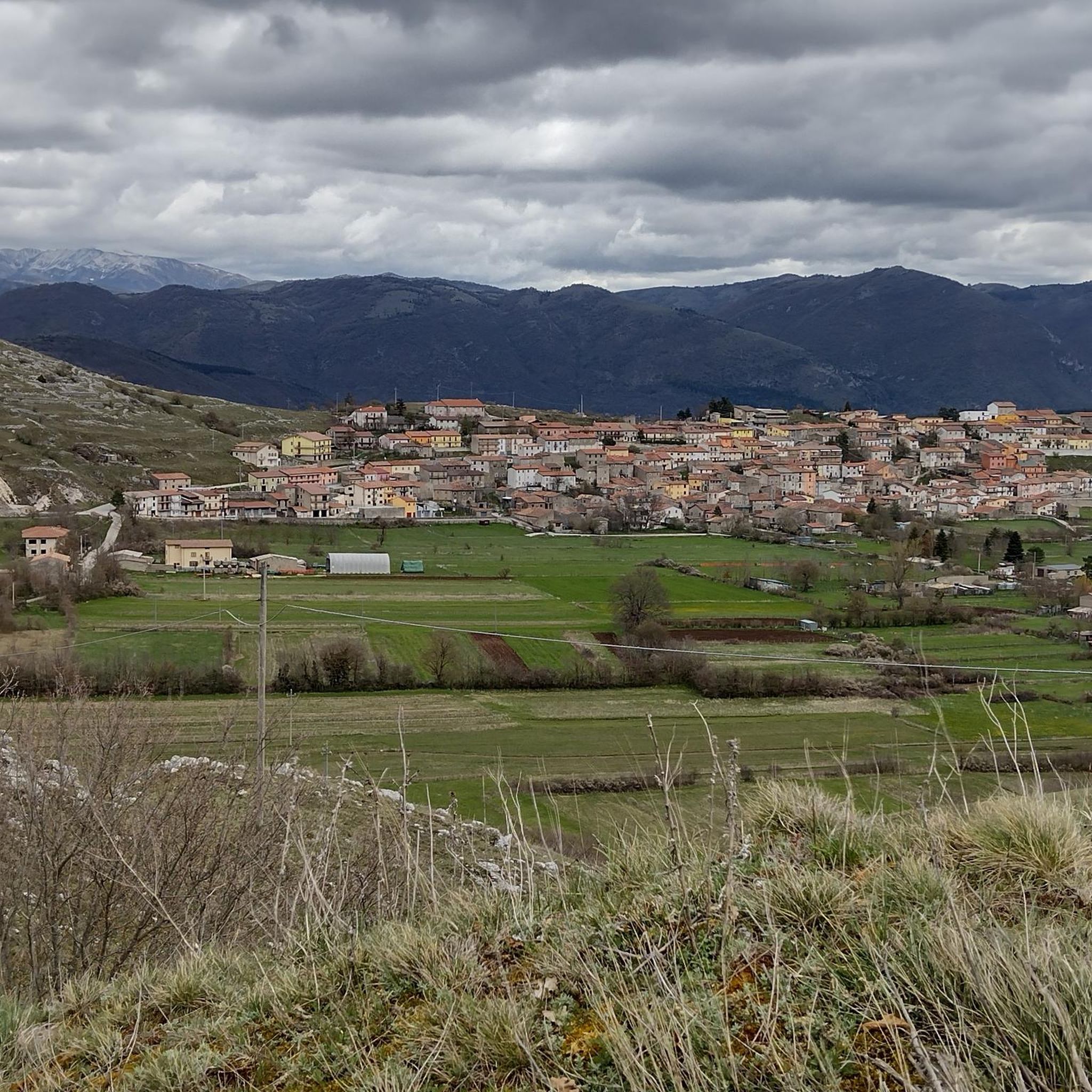
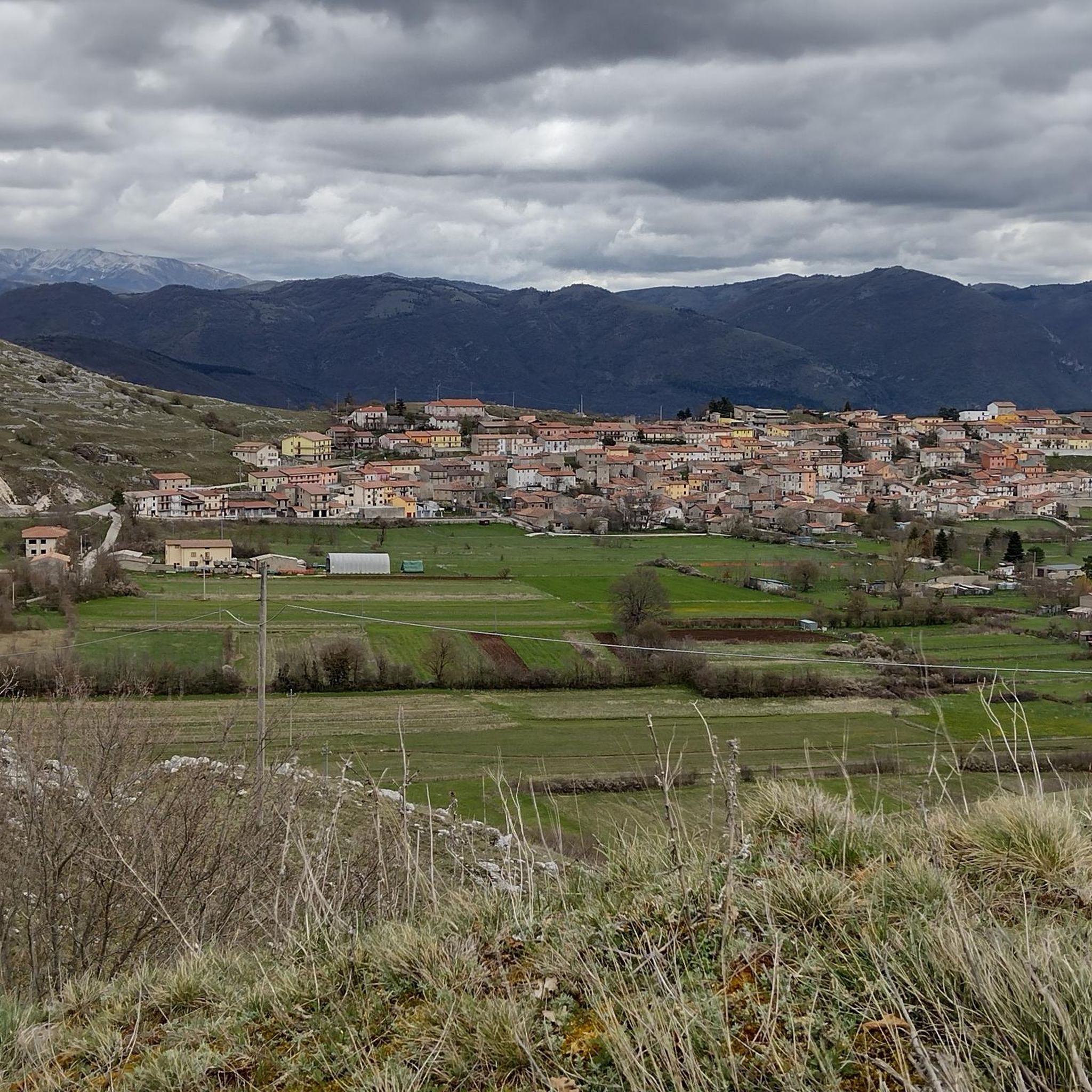
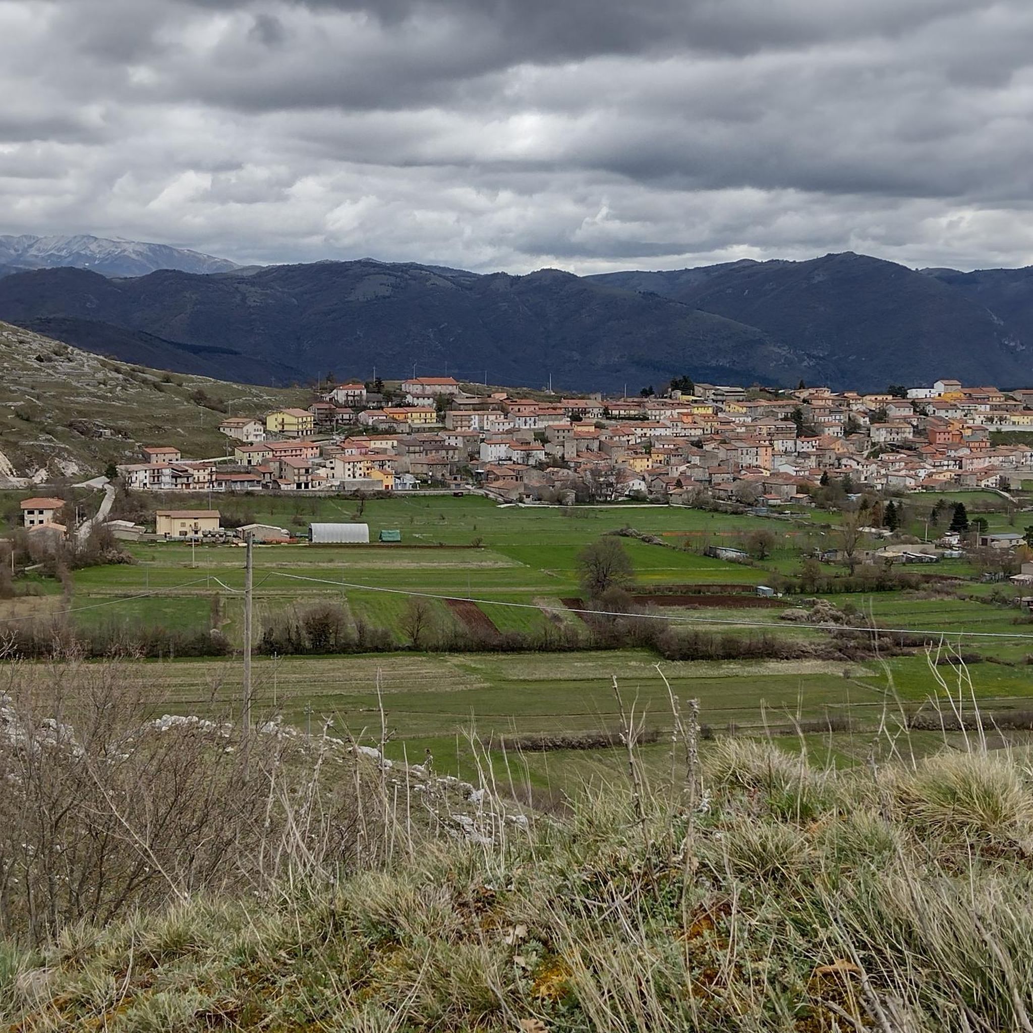
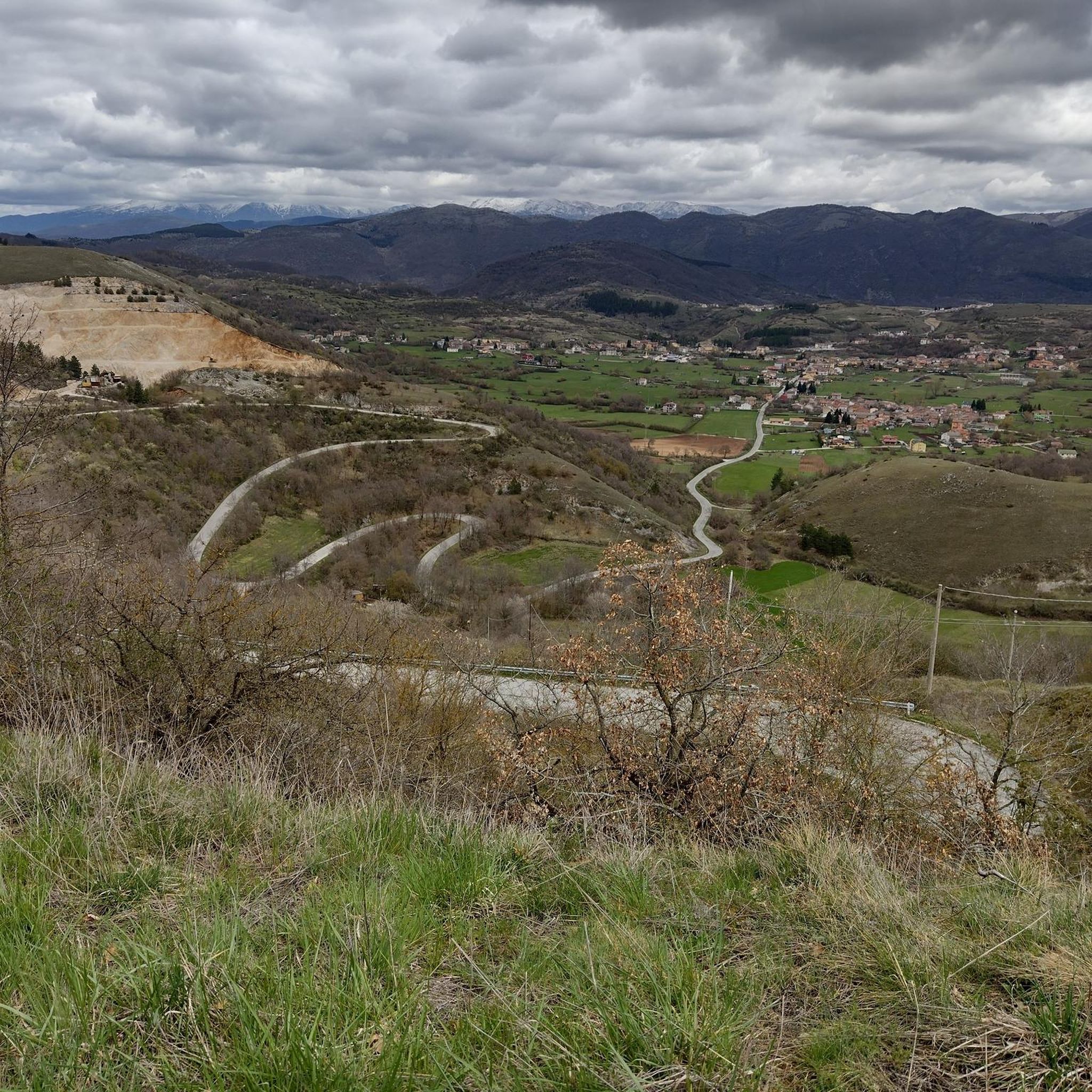
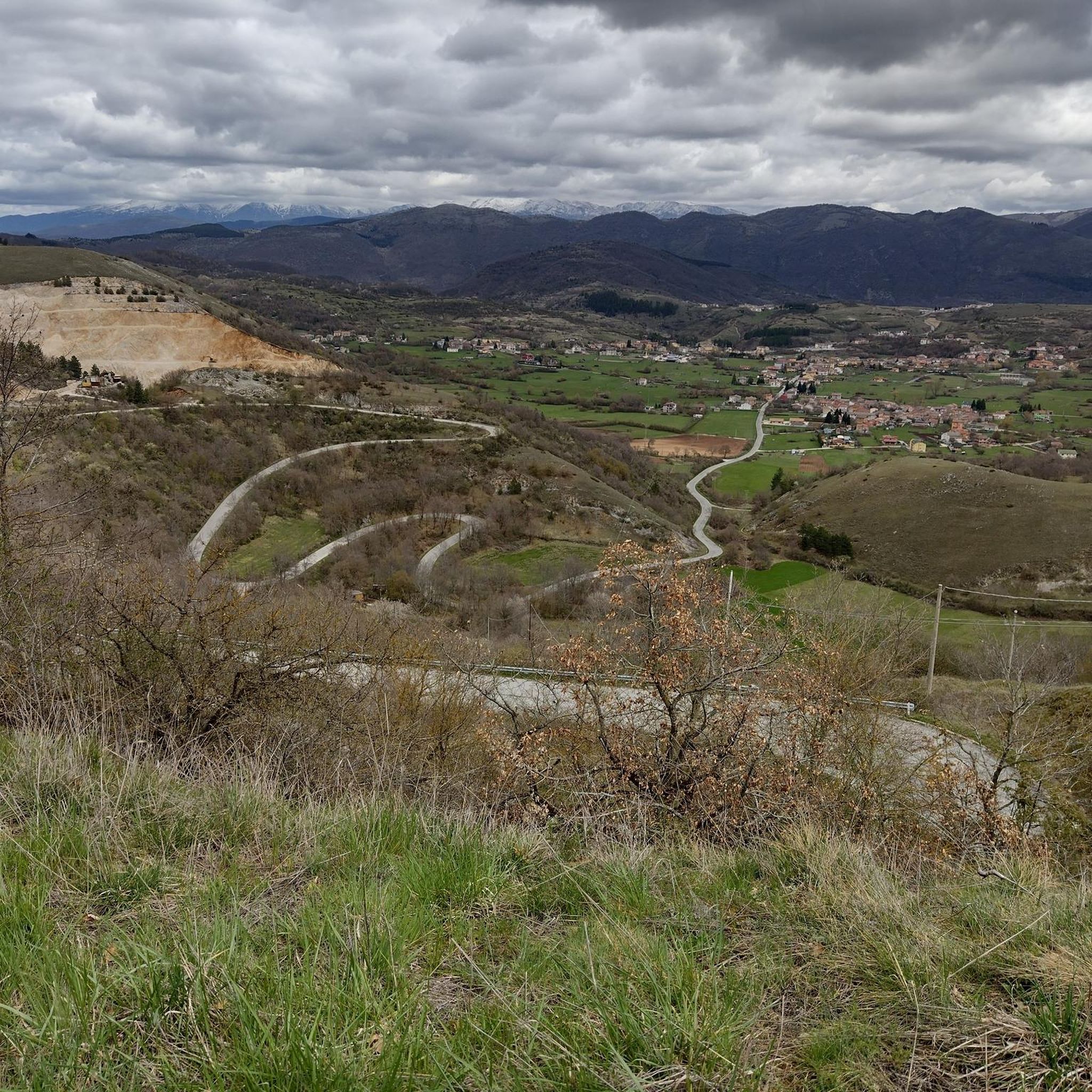
Going up and down from Monte Mascioni the view sweeps from Lake Campotosto to the surrounding mountains.
2
0

Meeting point for 5 different trails, 3 of which are not on the map.
1
0

This small bar, which as a rest stop, offers a small snack and some refreshing drinks, offers an overwhelming view of the entire nature around the "lago di campotosto" - simply gigantic. It is located directly on the "ponte delle stecche", a bridge at the narrowest point of the lake.
2
0
Frequently Asked Questions
What are some popular mountain peaks and areas to explore around Cagnano Amiterno?
The region offers diverse options, including Monte Giano with its unique 'DUX' pine forest, the rugged Monti dell'Alto Aterno, and the karstic Altopiano di Cascina. For specific viewpoints, visitors enjoy the View of Lago di Campotosto and the summit To Monte Mascioni.
Are there any historical landmarks or unique features on the mountain peaks near Cagnano Amiterno?
Yes, Monte Giano is famous for its 'DUX' pine forest, a historical artifact visible from a distance. The Church and Hermitage of Madonna di Capo la Piaggia is another significant religious building and historical site. Additionally, the Altopiano di Cascina features the ruins of a medieval castle.
What kind of terrain and elevation can I expect on the mountain trails around Cagnano Amiterno?
The area offers varied terrain, from the gentle slopes of the Altopiano di Cascina (around 1,000 meters) to more challenging ascents like Monte Nuria, which reaches 1,888 meters. Monte Giano stands at 1,820 meters, while Monte Civitella, the highest point in the Monti dell'Alto Aterno, is 1,603 meters. Trails range from easy walks to difficult routes, often featuring forests, pastureland, and rocky sections.
What are the best times to visit the mountain peaks around Cagnano Amiterno?
The region is appealing year-round. Spring brings flowering landscapes, while autumn offers vibrant colors in the diverse forests. Summer is ideal for hiking, and winter provides opportunities for snow activities, though some higher peaks like Monte Nuria may require crampons due to ice.
Are there family-friendly hiking options in the Cagnano Amiterno mountains?
Yes, the Altopiano di Cascina is an excellent choice for nature walks and gentle hikes suitable for families. Its relatively flat karstic plateau offers easy exploration of springs, fountains, and diverse forests.
What outdoor activities can I do near these mountain peaks?
Besides hiking, the area around Cagnano Amiterno is great for running and road cycling. You can find various routes, such as the 'Trail in the Woods – Monte Giano loop' for hiking or the 'Climb to Sella Pedicate Dam – Lake Campotosto loop' for running. Explore more options on the Hiking around Cagnano Amiterno, Running Trails around Cagnano Amiterno, and Road Cycling Routes around Cagnano Amiterno guide pages.
Where can I find panoramic views of the surrounding landscape?
Many peaks offer stunning vistas. Monte Giano provides extensive panoramic views of the central Apennines. The View of Lago di Campotosto is an intermediate viewpoint known for its brilliant scenery. From To Monte Mascioni, the view sweeps from Lake Campotosto to the surrounding mountains. Monte Marine in the Monti dell'Alto Aterno also offers great views.
What kind of wildlife can I expect to see on the trails?
The dense forests of beech and chestnut in the Monti dell'Alto Aterno are home to wild boars. The diverse natural environments across the region also support various bird species and other local wildlife, especially in less frequented areas.
Are there any challenging mountain peaks for experienced hikers?
Yes, Monte Nuria is considered a challenging summit, especially in winter when crampons might be needed for its steepest parts. The Monti dell'Alto Aterno also offer varied terrain with challenging ascents for those seeking more demanding trails.
What do visitors enjoy most about the mountain peaks around Cagnano Amiterno?
Visitors appreciate the diverse landscapes, from high summits with brilliant views to plateaus with unique geological formations. The opportunity to explore less frequented trails, observe local wildlife, and discover historical landmarks like the 'DUX' forest on Monte Giano are frequently mentioned highlights. The Church and Hermitage of Madonna di Capo la Piaggia is also a popular meeting point for trails, surrounded by nature.
Is the Gran Sasso massif easily accessible from Cagnano Amiterno?
While the towering peaks of the Gran Sasso massif are visible on clear days, they are a more distant destination, approximately a 30-minute drive to the national park entrance. The immediate vicinity of Cagnano Amiterno offers the accessible and equally rewarding landscapes of Monte Giano, the Monti dell'Alto Aterno, and the Altopiano di Cascina.
Most popular attractions around Cagnano Amiterno

Get inspired with the komoot mobile app


Explore more
See even more amazing summits around Cagnano Amiterno with these guides:
