The 4 Most Amazing Peaks around Montasola
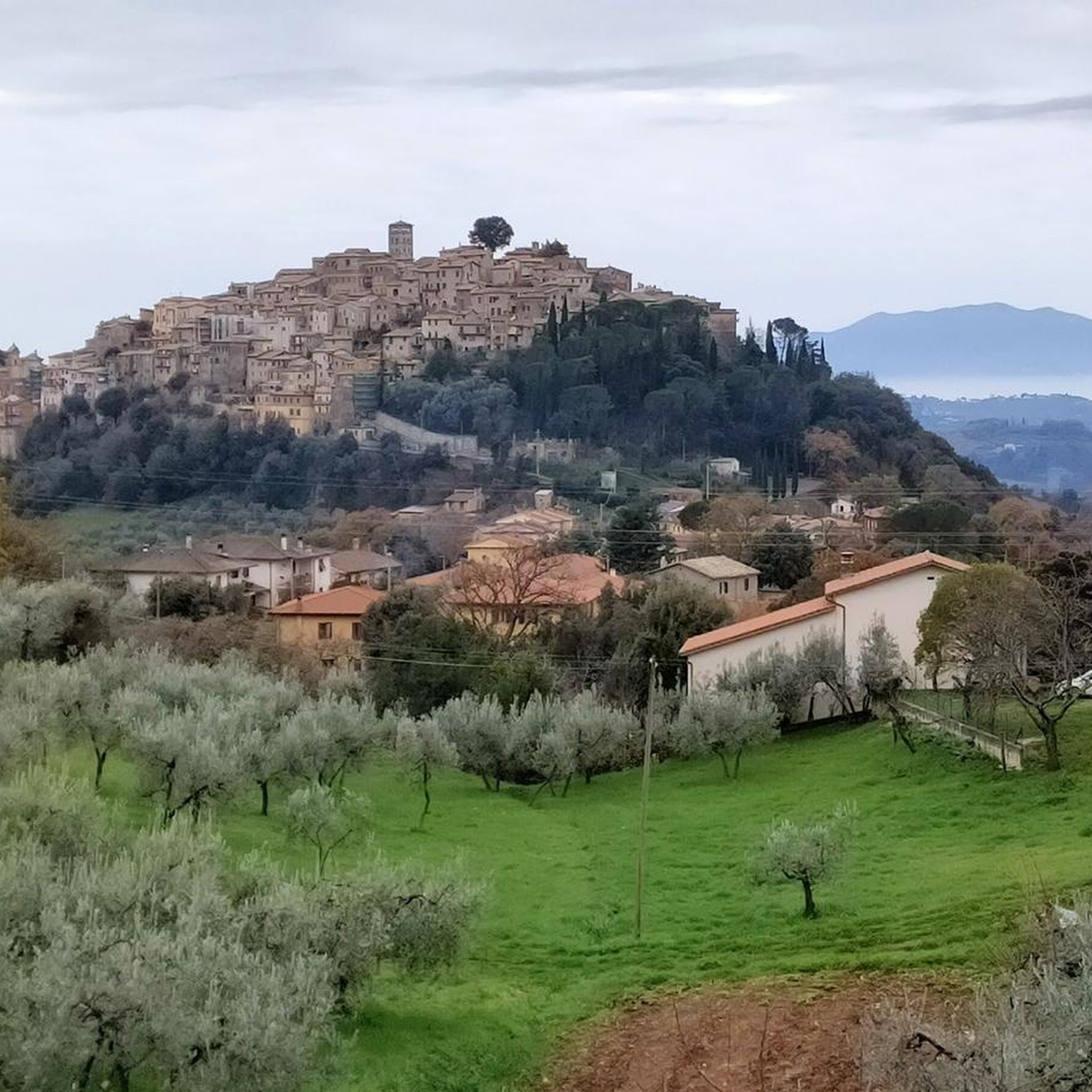
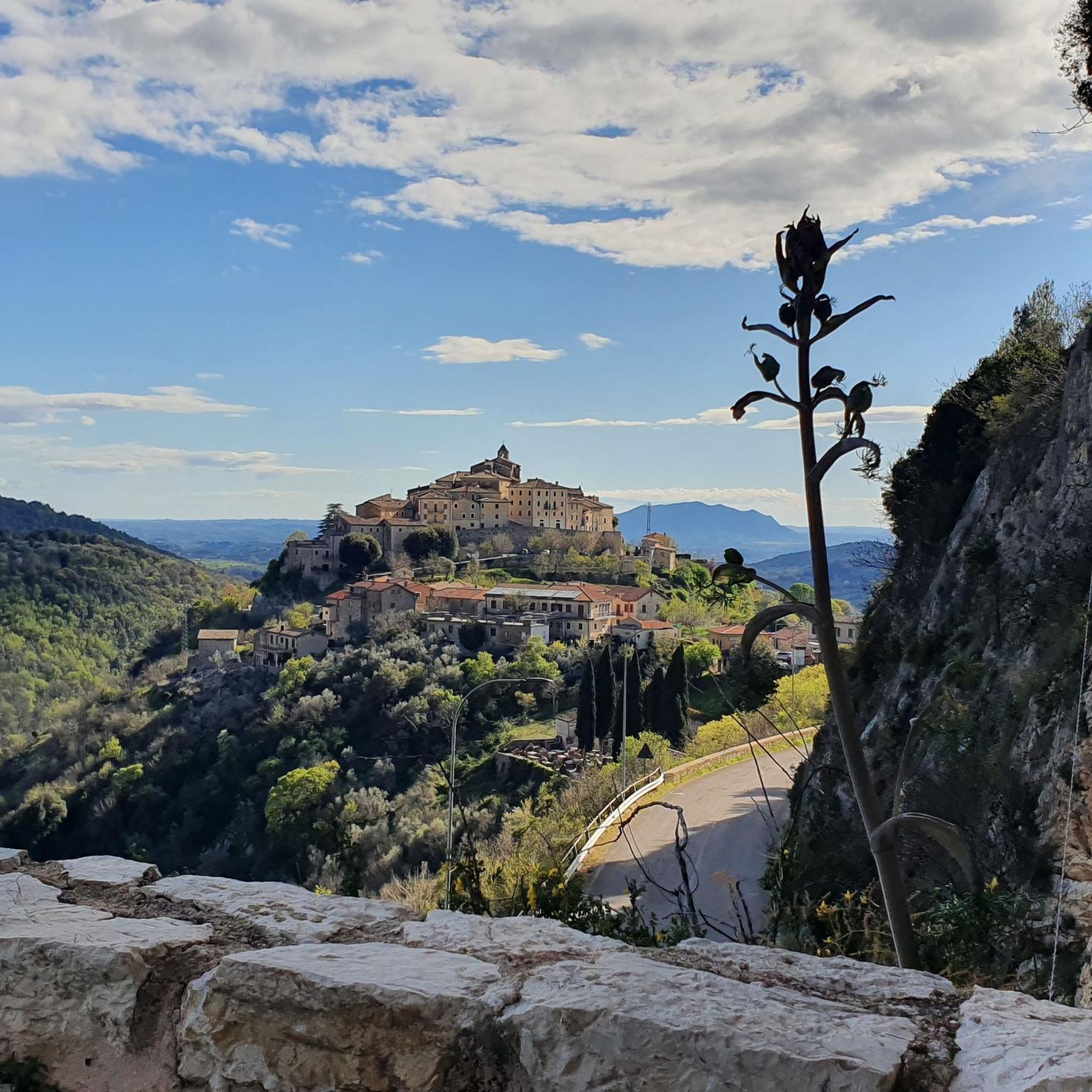
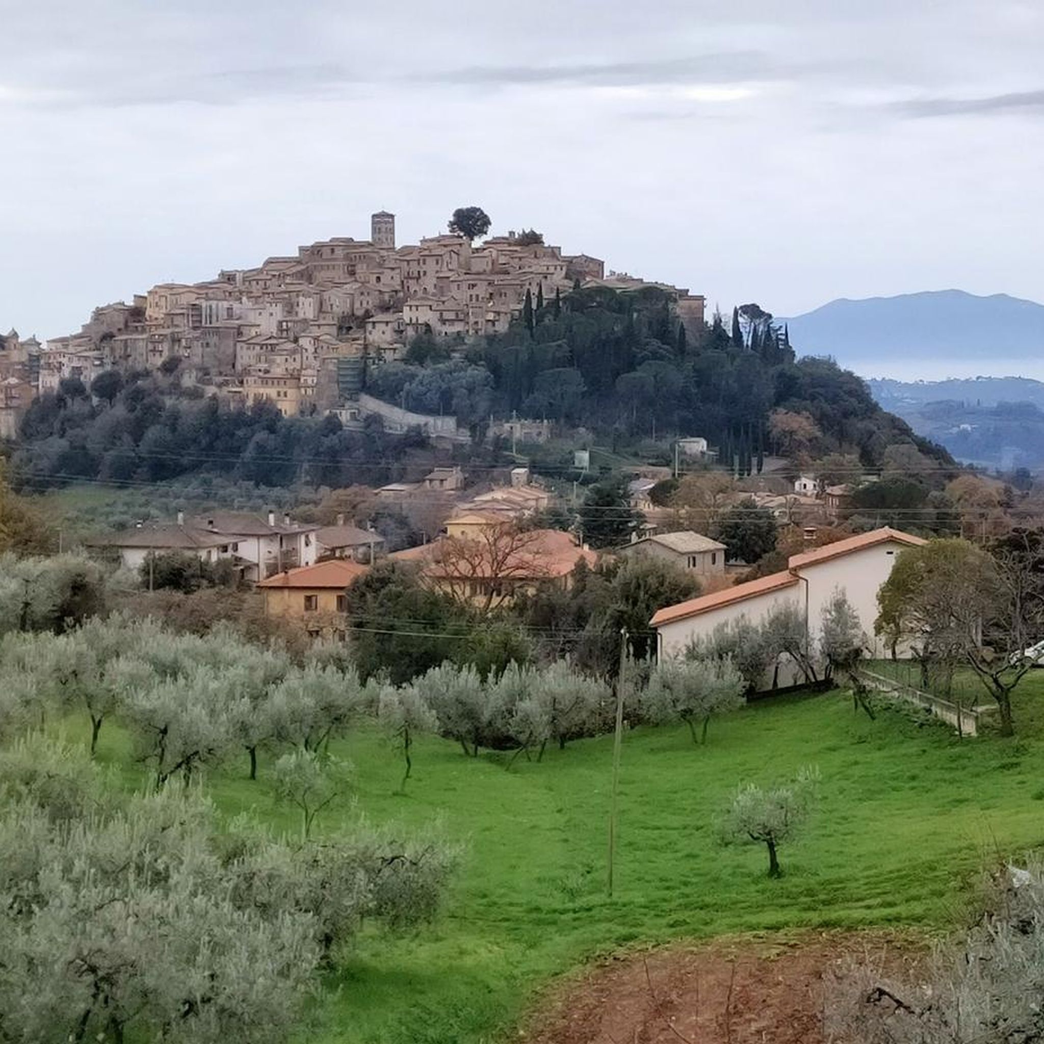
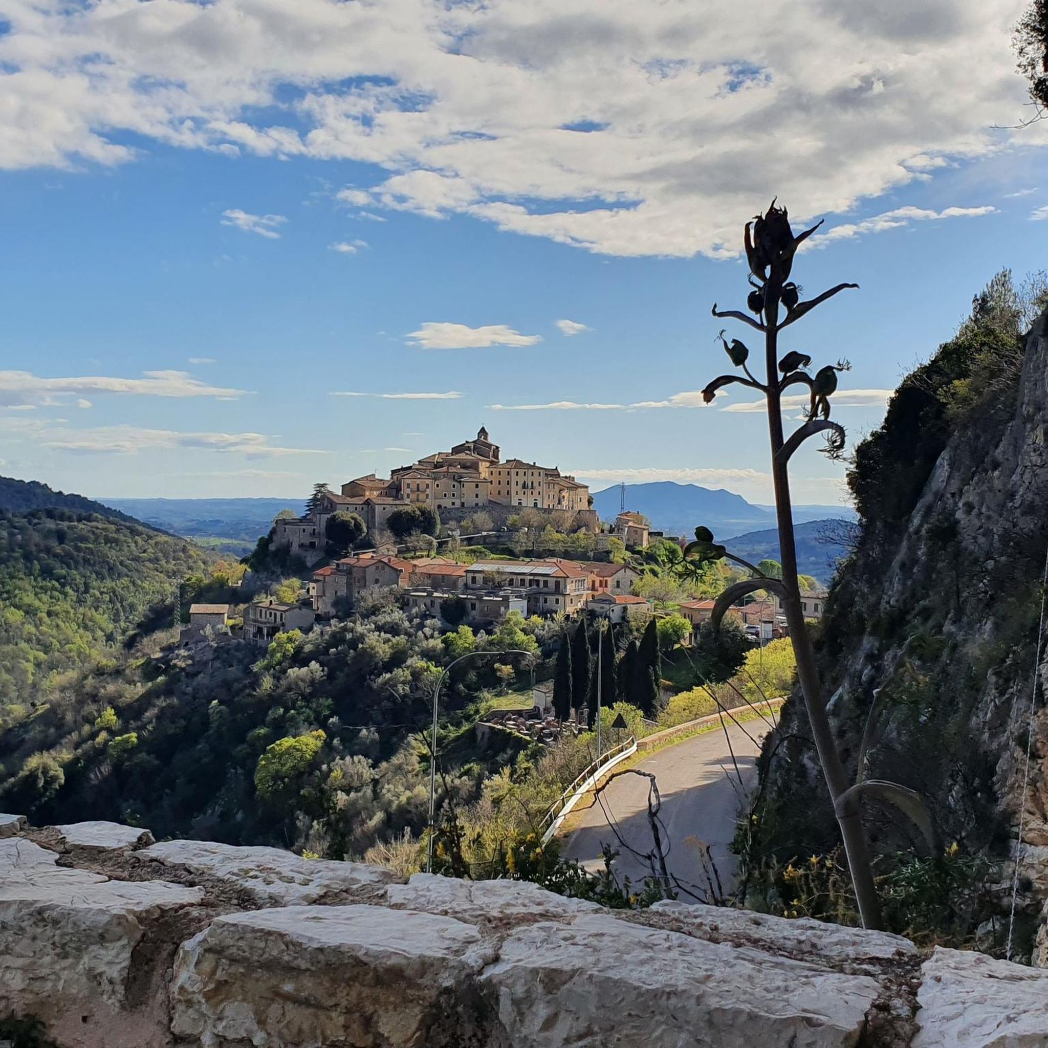
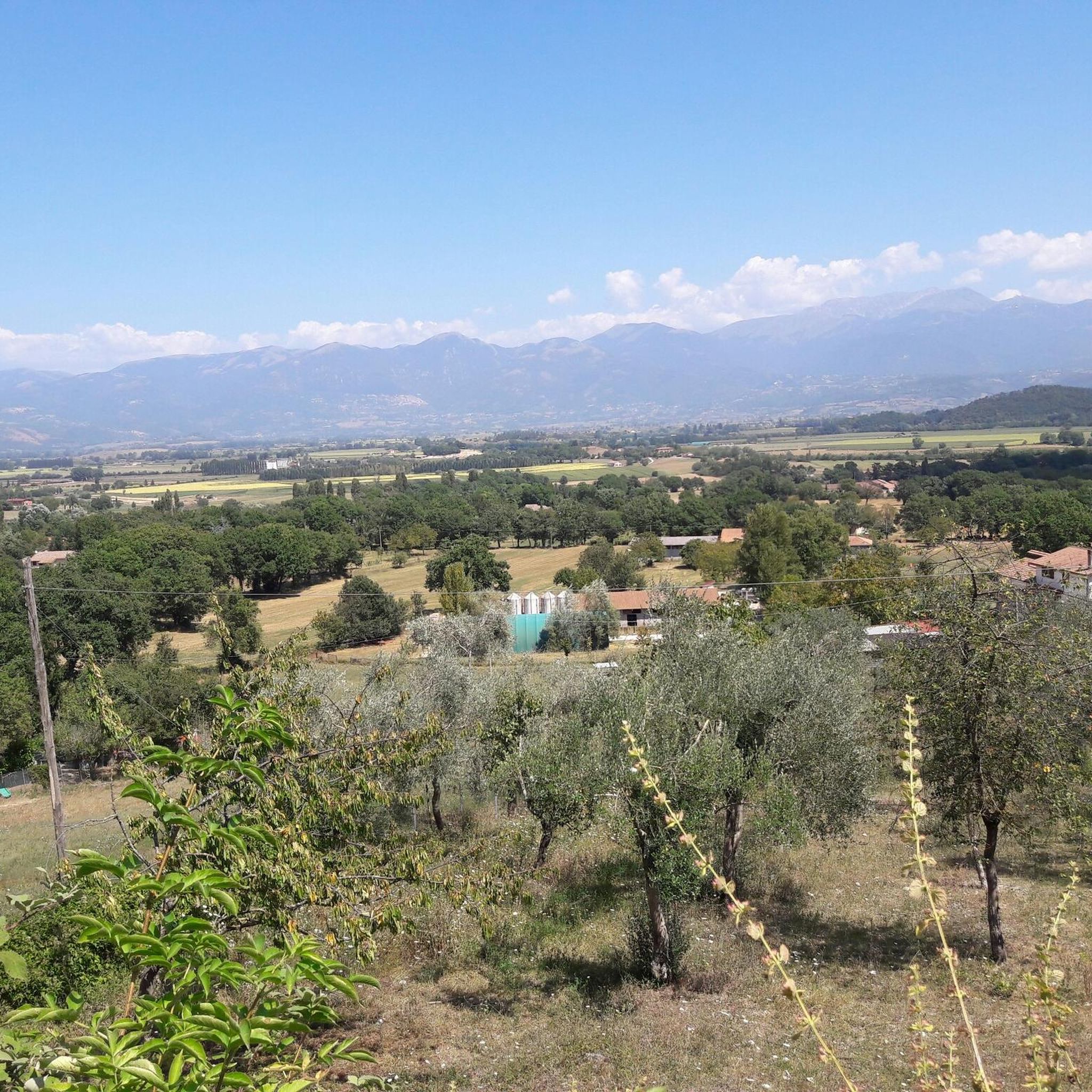
Best mountain peaks around Montasola are situated within a mountainous landscape, offering panoramic views from its elevated position. The village itself is perched on an offshoot of Mount Tancia, also known as Monte San Pietro or Monte Asola, at approximately 600 meters above sea level. This setting provides a naturally scenic old town with winding streets and a fortress, offering expansive views of valleys and mountains. The surrounding area features thick laurel woods and extensive hiking trails, making it a…
Last updated: June 29, 2026
Chapel of Saint Francis
Highlight • Religious Site
Translated by Google •
Tip by

Monte Pizzuto Summit
Highlight • Summit
Translated by Google •
Tip by
Sign up now to discover places like this
Get recommendations on the best single tracks, peaks, & plenty of other exciting outdoor places.
Sign up for free
Southern summit of Monte Tancia
Highlight • Summit
Translated by Google •
Tip by

View from Monte delle Croci
Highlight • Viewpoint
Translated by Google •
Tip by
Monte Macchia Gelata summit
Highlight • Summit
Translated by Google •
Tip by
Start today with a free account
Your next adventure awaits.
Login or Signup
Tips from the Community

Laying of the Summit Book together with the CAI Subsection of Guidonia and the CAI Section of Monterotondo
0
0
View with Mount Terminillo and Gran Sasso in the background
0
0

"The chapel erected on the peak which was always called Monte San Francesco, at 1203 m, recalls the hermit's place where Saint Francis lived, under a cloth stretched and tied to four hornbeams, before the foundation of the convent of Greccio. In 1713, Clemente XI wanted to build a chapel in memory. From up there, the view is beautiful: from the left you can see the pink Mount Vettore, then the Reatini mountains, up to the Velino group".
0
0

This chapel is a perfect spot to take a break and enjoy the view. It consists of two rooms, a small church and a refuge area, managed by the local mountain community. Both are always open and offer excellent shelter on rainy autumn and winter days.
3
0
This panoramic point can be reached after having covered the steep climb which from Greccio crosses the wood with a series of zig-zags. The view from here towards the Terminillo massif and the plain of Rieti is breathtaking. On clear days you can even see the Sibillini and Laga to the east and the Gran Sasso massif to the south.
1
0
Monte Pizzuto, with its 1288 metres, is the second peak of the Monti Sabini after the nearby Monte Tancia. Unlike the latter, it enjoys a much wider panoramic view. On one side on the Tiber Valley and Mount Soratte and on the other on the Central Apennines with the clearly visible massifs of Terminillo and Gran Sasso.
2
0

It is not the official summit but it is the most beautiful panoramic point of the small Tancia complex. From here the view spans 360° from the Gran San Sasso to the Lazio coast.
1
0
Top of Mount Frostspot. Small grassy peak with a 360 degree view of the Reatini Mountains (Terminillo) and the Tiber Valley.
1
0
Frequently Asked Questions
What are the most notable mountain peaks and viewpoints around Montasola?
The region around Montasola offers several significant peaks and viewpoints. Key highlights include Monte Tancia Summit (1,292 m), the highest peak of the Sabine mountains, offering an incredible panorama. Another prominent spot is Monte Pizzuto Summit, the second highest in the Monti Sabini, known for its wide views extending to the Tiber Valley and the Central Apennines. For a stunning 360° vista, the Southern summit of Monte Tancia is highly recommended, spanning from Gran Sasso to the Lazio coast. Additionally, the View from Monte delle Croci provides breathtaking views towards the Terminillo massif and the plain of Rieti.
Are there family-friendly spots or activities among the mountain peaks near Montasola?
Yes, the Chapel of Saint Francis is considered family-friendly. It's a perfect spot to take a break and enjoy the view, offering a small church and a refuge area that are always open, providing excellent shelter. The trails leading to it are generally accessible for families.
What kind of natural features can I expect to see when exploring the mountains around Montasola?
The mountainous landscape around Montasola is characterized by thick laurel woods, providing a lush green environment. From various peaks and viewpoints, you'll encounter expansive panoramic views of valleys, other mountains like Terminillo and Gran Sasso, and even the Lazio coast. The area also features natural monuments and diverse flora and fauna typical of the Sabine mountains.
What historical or cultural sites are integrated into the mountain landscape near Montasola?
The village of Montasola itself is a medieval gem, perched on Mount Tancia, offering a naturally scenic old town with winding streets and a fortress at its highest point. The Chapel of Saint Francis is a historical site where the Poverello of Assisi reportedly meditated. Hiking trails in the vicinity also traverse ancient marble quarries and historic villages, blending natural exploration with cultural heritage.
What outdoor activities can I do near the mountain peaks around Montasola?
Beyond exploring the peaks themselves, the Montasola area is excellent for various outdoor activities. You can find numerous hiking trails, including moderate routes like the 'Cottanello meadows and the hermitage of San Cataldo' or more difficult ones such as the 'Casperia Historic Village loop from Montasola'. There are also running trails and extensive road cycling routes that allow you to explore the wider region.
Are there specific hiking trails to reach the summits around Montasola?
Yes, for Monte Tancia Summit (1,292 m), the ascent from the Osteria del Tancia is a popular and relatively simple excursion. While the path is partially shaded and pleasant, some sections may be poorly marked, so using a navigation app is advisable. Trails also lead to Monte Pizzuto Summit and the Southern summit of Monte Tancia, offering intermediate difficulty levels.
What are the difficulty levels for hiking the mountain peaks in the Montasola region?
Most of the highlighted peaks and viewpoints, such as Monte Tancia Summit, Monte Pizzuto Summit, and the Southern summit of Monte Tancia, are generally considered to be of intermediate difficulty. The View from Monte delle Croci involves a steep climb but is also rated intermediate. There are also more challenging routes available in the wider area, such as the 'Casperia Historic Village loop from Montasola' for hiking.
What do visitors enjoy most about the mountain peaks and views near Montasola?
Visitors consistently praise the incredible panoramic views from the summits, with many noting the ability to see vast distances, including the Tiber Valley, Mount Soratte, the Central Apennines (Terminillo, Gran Sasso), and even as far as Rome on clear days. The peaceful atmosphere of spots like the Chapel of Saint Francis and the natural beauty of the laurel woods are also highly appreciated.
Is there public transport access to the mountain trails or peaks around Montasola?
While Montasola is a charming village, direct public transport access to specific trailheads high in the mountains can be limited. It is generally recommended to have private transportation to reach the starting points for many of the mountain excursions. However, the village itself can serve as a base for exploring the surrounding areas.
Are there any circular walks or loops recommended in the Montasola mountains?
Yes, the region offers several circular routes. For instance, local hikers recommend the 'Dall'Eremo di San Cataldo a Monte Civitella - Anello' trail, which provides a circular journey with views towards Monte Civitella. Additionally, within the wider area, you can find hiking guides with loops like the 'Cottanello Loop' or 'Scenic viewpoint – Cesola Piana loop from Casperia'.
What is the highest peak in the Sabine mountains near Montasola?
The highest peak in the Sabine mountains is Monte Tancia Summit (1,292 m). Its ascent offers an incredible panorama of the surrounding region.
Can I find accommodation or places to eat near the mountain trails in Montasola?
Montasola itself is a village with local amenities. While specific cafes or pubs directly on mountain trails might be scarce, the village and nearby towns offer options for accommodation and dining. The Chapel of Saint Francis also includes a refuge area, which can provide shelter.
Most popular attractions around Montasola

Get inspired with the komoot mobile app


Explore more
See even more amazing summits around Montasola with these guides:
