The 7 Most Amazing Peaks around Bussi Sul Tirino
Best mountain peaks around Bussi Sul Tirino offer access to the natural landscapes of the Abruzzo region in Italy. The area provides views of prominent massifs and features accessible peaks within its vicinity. This location is part of the Gran Sasso and Monti della Laga National Park, known for its diverse terrain. Visitors can explore a range of mountain environments, from accessible summits to challenging high-altitude routes.
Best mountain peaks around Bussi Sul Tirino
- The most popular mountain peaks is…
Last updated: July 13, 2026
Mount Cappucciata
Highlight • Summit
Translated by Google •
Tip by

Monte Rotondo Summit
Highlight • Summit
Translated by Google •
Tip by
Sign up now to discover places like this
Get recommendations on the best single tracks, peaks, & plenty of other exciting outdoor places.
Sign up for free
Monte Velino and Sirente Massif
Highlight • Summit
The Sirente Velino Regional Park is an enchanting …
Translated by Google •
Tip by

Monte Queglia Summit
Highlight • Summit
Tip by

View of Monte Sirente
Highlight • Viewpoint
Translated by Google •
Tip by

Sign up for free to discover even more peaks around Bussi Sul Tirino.
Sign up for free
Already have an account?
Start today with a free account
Your next adventure awaits.
Login or Signup
Tips from the Community

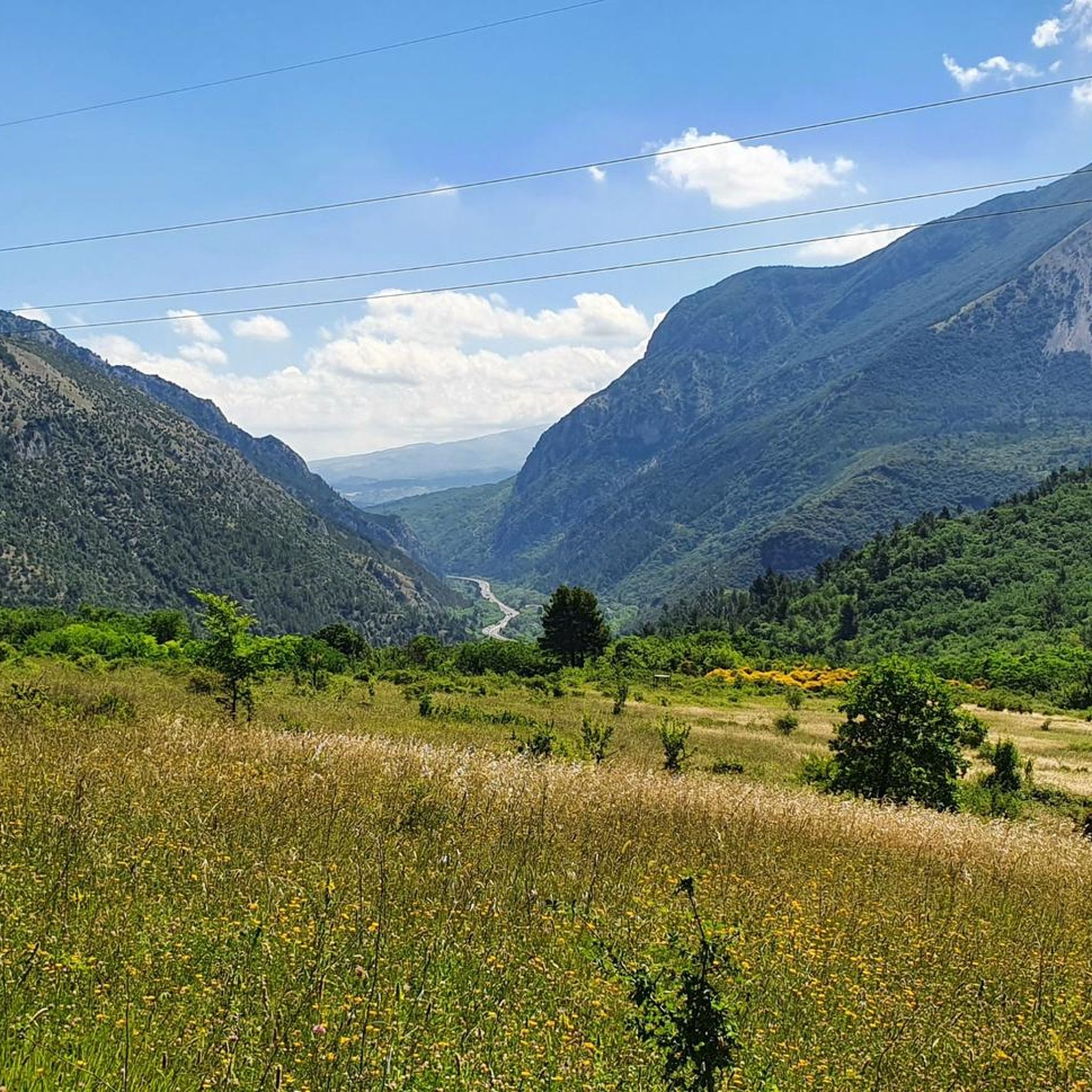
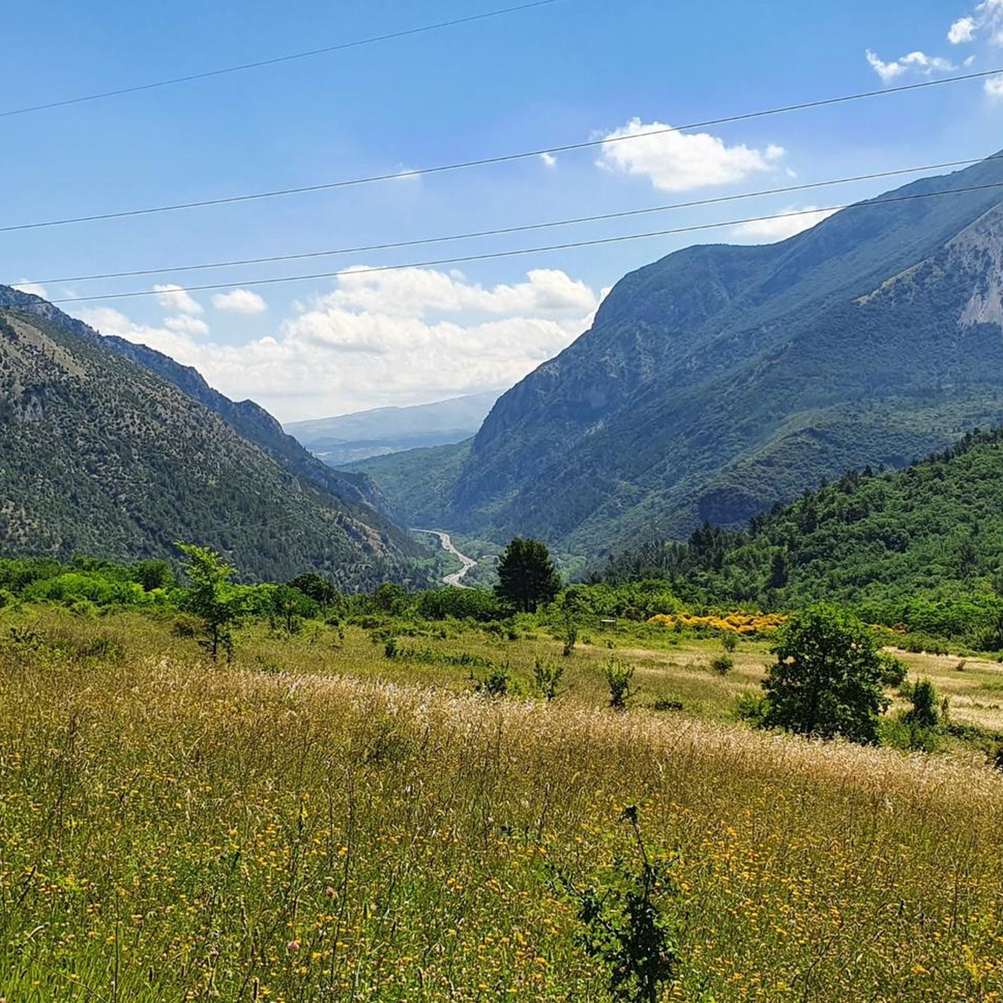
The Park takes its name from the imposing peaks of Monte Velino and the Sirente massif, a straight ridge approximately 15 km long.
0
0

Monte Cappucciata is one of the peaks that make up the Gran Sasso massif, located in the Gran Sasso and Monti della Laga National Park.
0
0

Mount Sirente with its 2349 m above sea level is the highest peak of the homonymous mountain group in the Abruzzo Apennines. It is located in the Sirente-Velino National Park.
0
0

Monte Rotondo, with its 1,731 meters of altitude, is part of the Morrone mountain group. From here you have a beautiful point of view on the Maiella and on the hinterland of Abruzzo.
2
0
Monte Cappucciata offers a beautiful panorama, and is located at 1800 meters high. The panorama includes the Gran Sasso massif, the Sirente-Velino and La Majella.
2
0

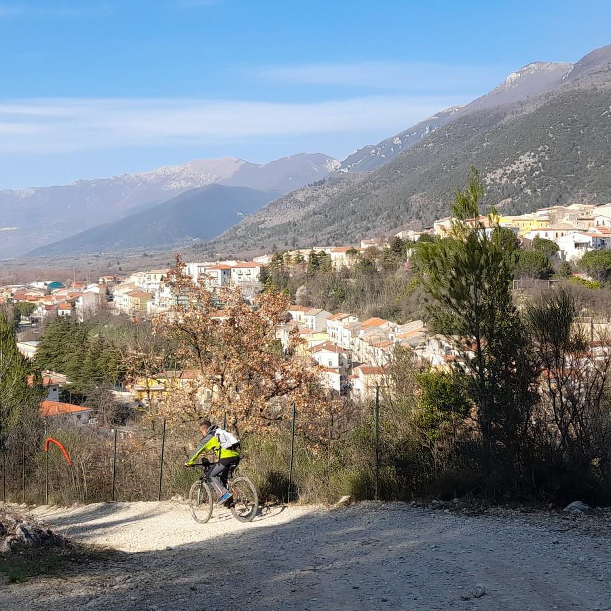
Simple hike easy to follow which can start at the bottom of an ancient village on the side if the mountains
1
0

The Sirente-Velino Regional Natural Park, one of the largest and most important natural parks in Italy, the only regional park in Abruzzo. The Sirente Velino Regional Park is an enchanting natural scenery, an uncontaminated landscape that hosts one of the most significant flora and fauna of central Italy.
4
0
Frequently Asked Questions
What are the most accessible mountain peaks for hiking near Bussi sul Tirino?
For an accessible and rewarding hike directly in the vicinity of Bussi sul Tirino, consider Monte di Roccatagliata. This peak, at 988 meters, offers panoramic views of the Pescara River basin and the town itself. The hike is generally considered easy, with much of the route on a dirt road, starting near the Bussi cemetery.
Which mountain peaks offer the best panoramic views around Bussi sul Tirino?
Several peaks provide stunning vistas. Mount Cappucciata, at 1800 meters, offers a panorama including the Gran Sasso massif, the Sirente-Velino, and La Majella. From Monte Rotondo Summit (1,731 meters), you can expect views of the Maiella and the Abruzzo hinterland. Additionally, Monte di Roccatagliata provides expansive views of the Pescara River basin and Valle Giardino.
Are there challenging mountain peaks for experienced hikers near Bussi sul Tirino?
Yes, for experienced hikers, Monte Velino and Sirente Massif offers a challenging summit within the Sirente-Velino Regional Natural Park. This area is known for its imposing peaks and uncontaminated landscape, providing a significant test for those seeking a more demanding ascent.
What natural features can I expect to see in the mountains around Bussi sul Tirino?
The region is rich in natural beauty. You'll encounter diverse terrain, from the distinct two-part composition of Monte di Roccatagliata to the sharp peaks and deeply carved valleys of the Gran Sasso Massif. The Sirente-Velino Regional Natural Park, home to Monte Velino and Sirente Massif, boasts significant flora and fauna. You might also see ancient ivy clinging to rock faces in the Roccatagliata channel and limestone formations characteristic of the Majella massif.
What is the best time of year to visit the mountain peaks near Bussi sul Tirino?
The best time for hiking the mountain peaks around Bussi sul Tirino is generally from spring to autumn. During these seasons, the weather is more favorable for outdoor activities, offering pleasant temperatures and clear skies for enjoying the panoramic views. Winter can be beautiful but requires specific gear and experience for safety due to snow and ice, especially on higher peaks.
Are there family-friendly hiking options among the mountain peaks?
While specific 'family-friendly' categories aren't listed for all peaks, the hike to Monte di Roccatagliata is generally considered of easy difficulty, making it suitable for families looking for a less strenuous mountain experience. Much of the route is on a dirt road, with some easy rocky patches near the summit.
What other outdoor activities can I do near the mountain peaks around Bussi sul Tirino?
Beyond hiking, the area offers various outdoor activities. You can explore road cycling routes, including challenging loops like the Sirente-Velino Park Loop or the Blockhaus Climb. Mountain biking is also popular, with trails along the Tirino River. For more details on these activities, you can explore the dedicated guides for Road Cycling Routes, MTB Trails, and Hiking around Bussi Sul Tirino.
Which national parks or protected areas are these mountain peaks part of?
Many of the prominent peaks in the region are located within significant protected areas. Mount Cappucciata is part of the Gran Sasso and Monti della Laga National Park. The Monte Velino and Sirente Massif, along with View of Monte Sirente, are situated within the Sirente-Velino Regional Natural Park, known for its rich biodiversity.
Can I see the Gran Sasso Massif from Bussi sul Tirino?
Yes, Bussi sul Tirino's location within the Abruzzo region means you can often enjoy breathtaking distant views of the majestic Gran Sasso Massif, including its highest peak, Corno Grande. These iconic mountains provide a dramatic backdrop to the Tirino Valley.
Are there any less crowded mountain trails or peaks to explore?
While popular spots attract visitors, Monte di Roccatagliata is often described as feeling undiscovered despite its charm and rewarding vistas. Its accessibility and tranquil atmosphere can offer a more serene hiking experience compared to some of the more well-known, higher-altitude destinations.
What is the geological composition of the mountains around Bussi sul Tirino?
The mountains in the region exhibit diverse geological features. Monte di Roccatagliata is distinctive for being composed of two separate parts, divided by a robust 'cut.' The broader Majella massif, which includes the Morrone mountain group where Monte Rotondo Summit is located, is known for its limestone composition.
Most popular routes around Bussi Sul Tirino
Most popular attractions around Bussi Sul Tirino

Get inspired with the komoot mobile app


Explore more
See even more amazing summits around Bussi Sul Tirino with these guides:
