Parque Nacional de Sierra Nevada
Parque Nacional de Sierra Nevada
Top 5 Gorges around Parque Nacional de Sierra Nevada
Best canyons around Parque Nacional de Sierra Nevada are found within this majestic mountain range in Andalusia, Spain. The region features a diverse landscape, from high-altitude glacial lakes to deep gorges carved by rivers. It is known for its blend of natural beauty and cultural heritage, including traditional villages and ancient irrigation systems. The area offers a range of outdoor activities, from challenging canyoning routes to scenic cultural hikes.
Best canyons around Parque Nacional de Sierra Nevada
- The most popular canyons is Chorreras Bridge, a bridge that marks a popular trail along the Monachil River, featuring hanging bridges and views of the mountains and the gorge. This spot is notable for its varied terrain and accessibility for hikers.
- Another must-see spot is Tajo de Cortés Waterfall, an impressive 15-meter waterfall on the Bermejo river. Visitors can expect to see a significant natural feature where the river bridges a 900-meter drop over a short distance.
- Visitors also love Barranco de San Juan Parking – Ascent to Mulhacén, a parking area that serves as a starting point for routes, including ascents to Mulhacén. This location is special for its convenience as a trailhead and the presence of a restaurant nearby.
- Parque Nacional de Sierra Nevada is known for cultural gorges like Barranco de Poqueira, technical canyoning routes such as Cañón del río Trevélez, and accessible gorges like Los Cahorros de Monachil. The variety of canyons allows for experiences ranging from cultural exploration to demanding technical descents.
- The canyons around Parque Nacional de Sierra Nevada are appreciated by the komoot community, with more than 170 upvotes and over 130 photos shared across 5 highlights.
Last updated: October 15, 2026
Chorreras Bridge
Highlight (Segment) • Bridge
Translated by Google •
Tip by

Barranco de San Juan Parking – Ascent to Mulhacén
Highlight • Parking
The route is designed to be completed in 3 days: we will spend the first night in Cueva Secreta and the second, in the Laguna de la Mosca. Therefore, we will have to bring everything we will need during those days. However, the climb is demanding, so it is best not to load up too much.
Note: During the route, we will pass by several rivers where we can carry water if we have a bottle with a filter or water purification tablets.
Translated by Google •
Tip by

Sign up now to discover places like this
Get recommendations on the best single tracks, peaks, & plenty of other exciting outdoor places.
Tajo de Cortés Waterfall
Highlight • Waterfall
Translated by Google •
Tip by

Technical and very exposed trail
Highlight (Segment) • Trail
Translated by Google •
Tip by
Alhorí Ravine
Highlight • Gorge
Translated by Google •
Tip by

Start today with a free account
Your next adventure awaits.
Popular around Parque Nacional de Sierra Nevada
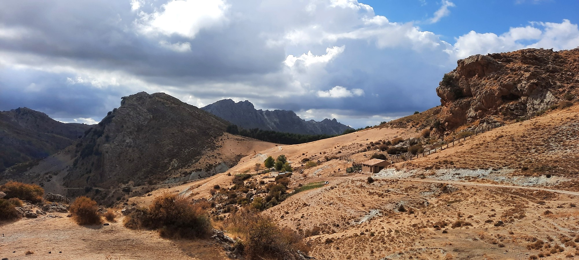
Sulayr Trail (GR 240) — 300 kilometers in the mountain of the sun

Bikepacking the mountains and deserts of Andalucía

On the road to the sun — bikepacking to southeast Spain
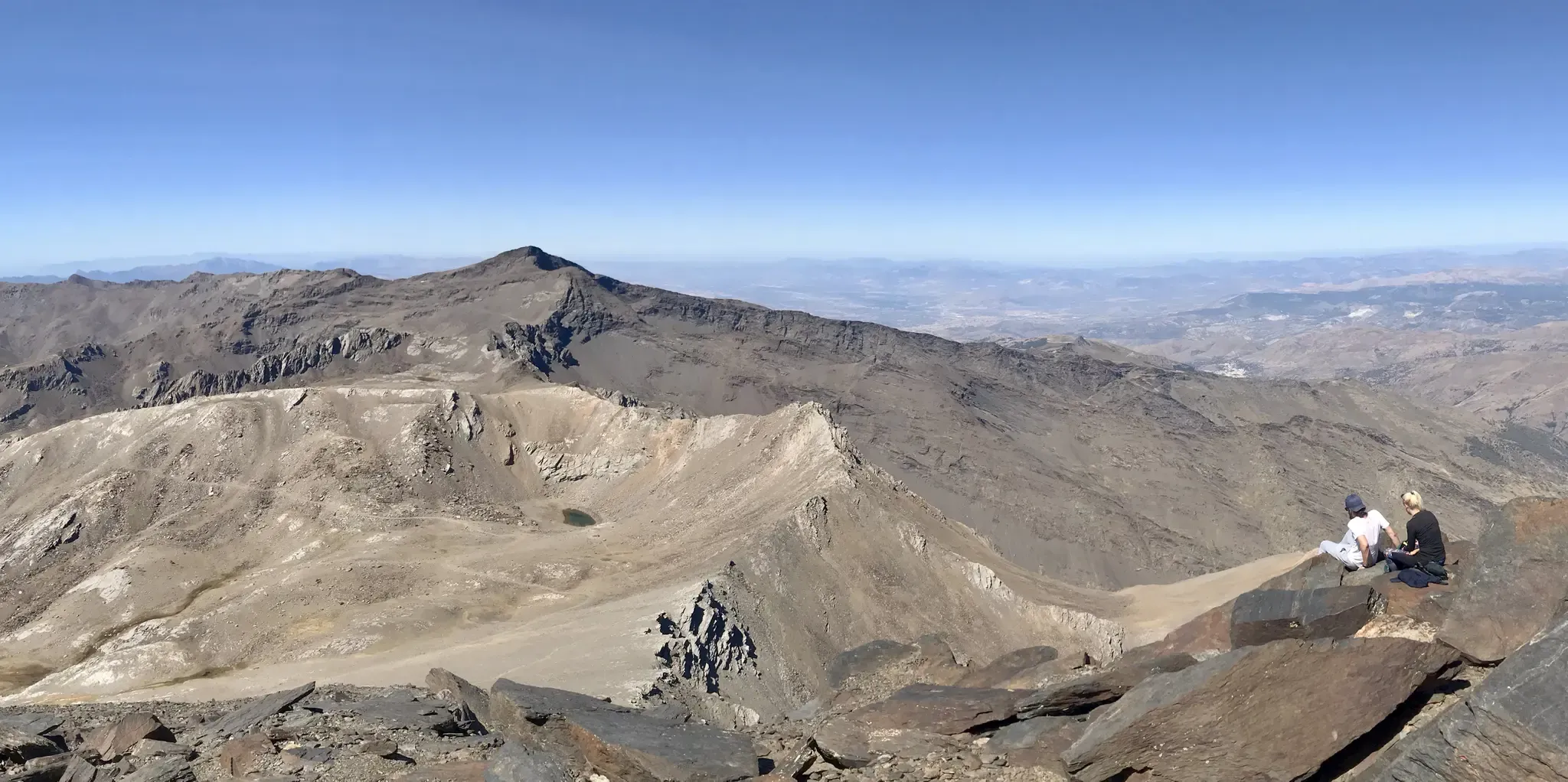
An unforgettable adventure – climb the Mulhacén’s north face in Spain
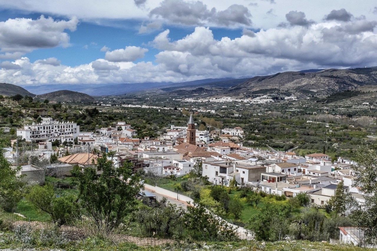
Gullies and summits – TransAlmería by MTB (Las Alpujarras)
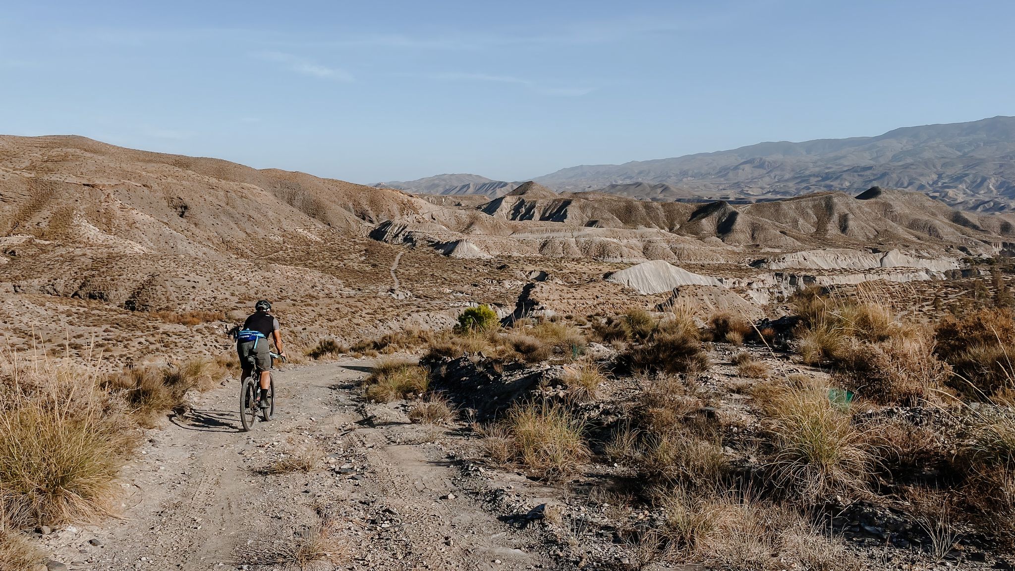
High mountains, desert and sea – an adventure of contrasts in Andalusia
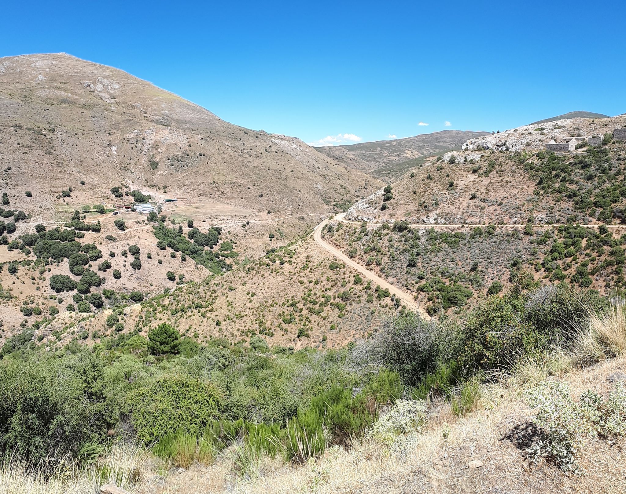
Nature and singletrack – bikepacking in Spain’s Sierra de Huétor

Let’s head south – cycle in Andalusia with me and my dog
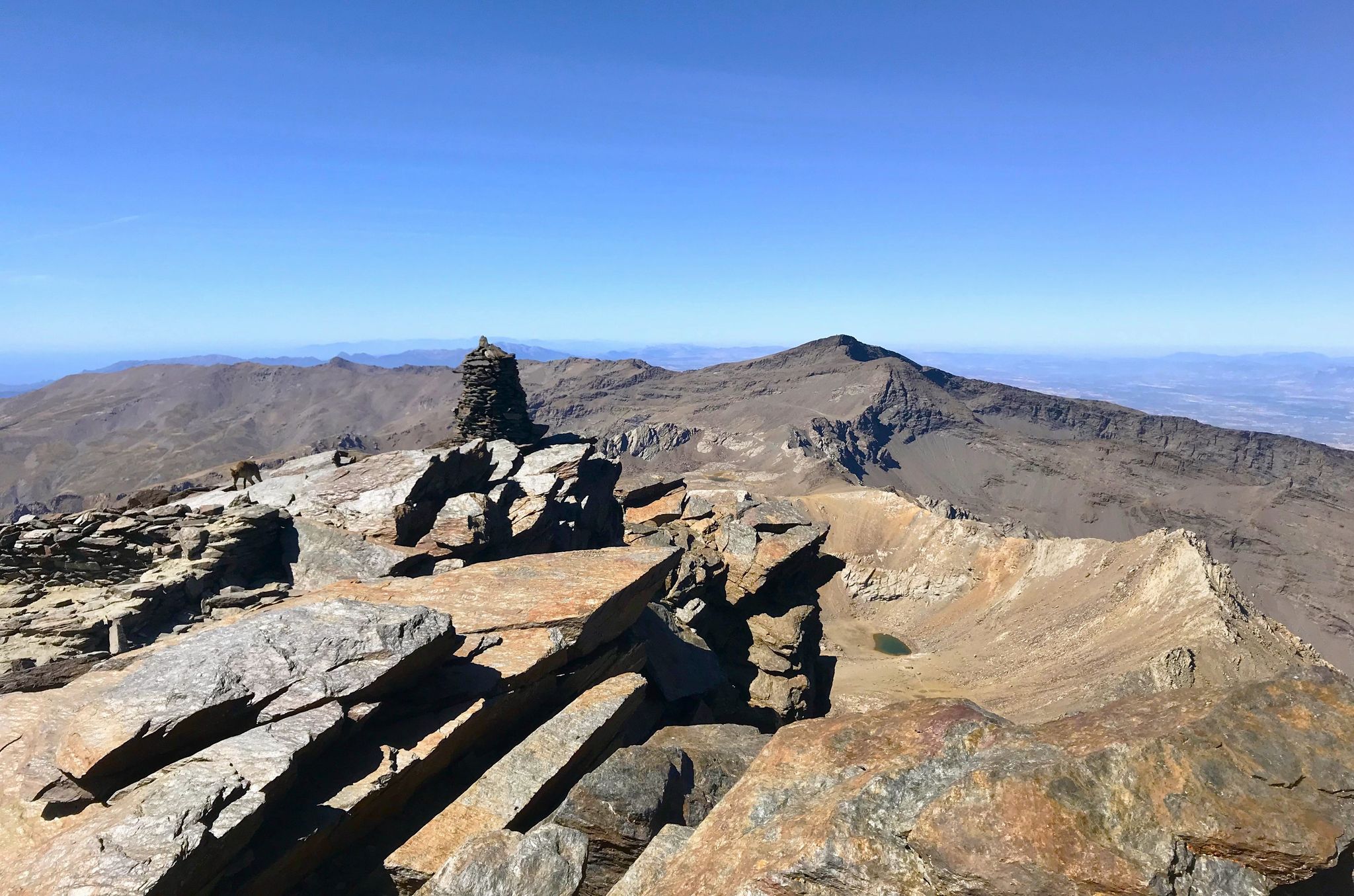
A night under the roof of the Iberian Peninsula – Mulhacén ascent
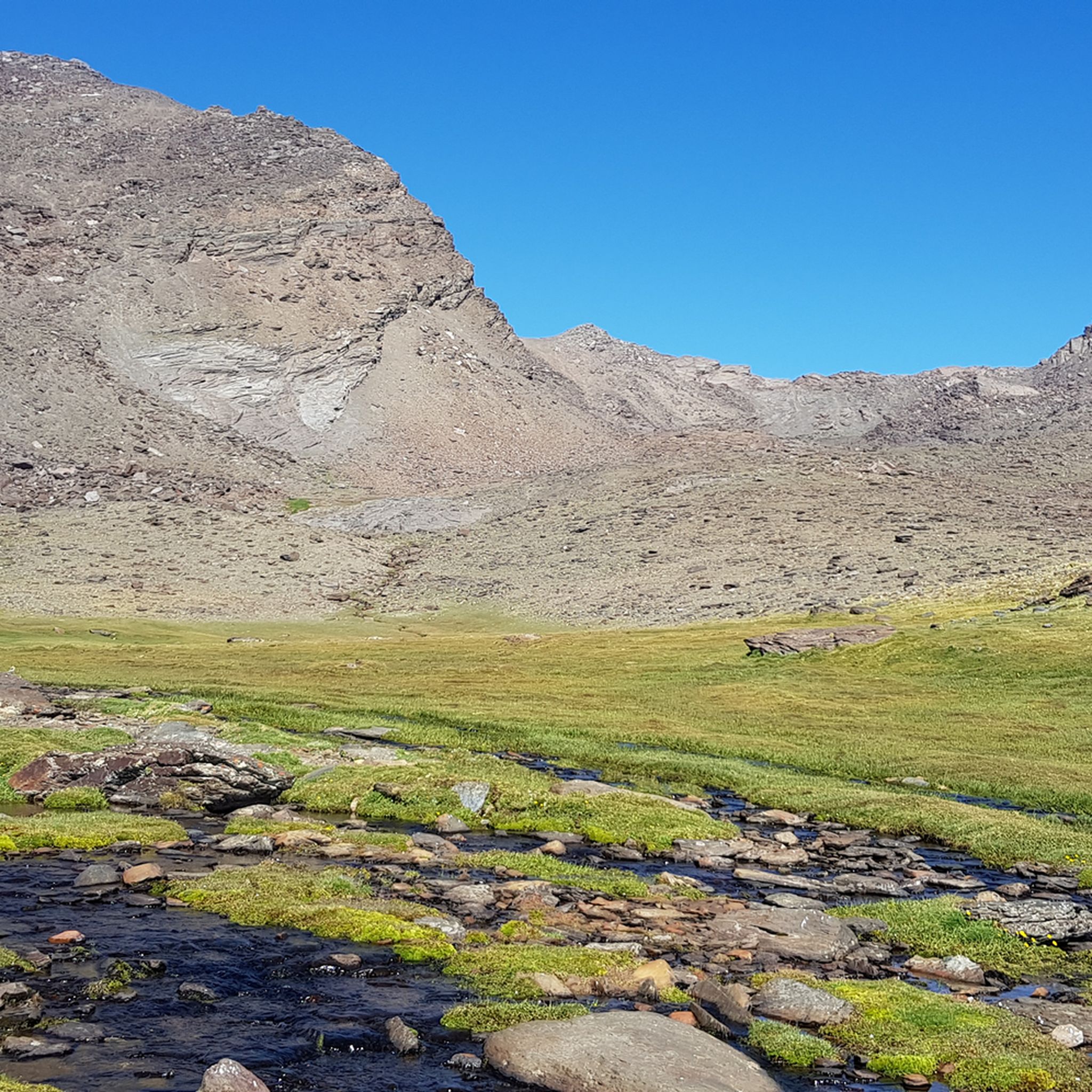
Hiking around Parque Nacional de Sierra Nevada
Other adventures around Parque Nacional de Sierra Nevada


Tips from the Community

Actually no problem for mountaineers. You should be free from vertigo anyway.
0
0

It feels like you're in a Western movie 😉. The mountains, the flora, and the fauna around you are simply amazing. You can't get enough of it 🤩
3
0

Great hiking trail, very warm (remember to bring plenty of water). Recommendation: Wear proper hiking boots. You'll be rewarded with a beautiful view.
1
0

The Alhorí springs appear during the climb, they spring up at the foot of the cliffs, in the peat bogs or come out from between the stones on the path. The route goes over the steps carved during the glacial modelling process that designed the current reliefs of the Sierra Nevada mountains and reaches the isolated glacial cirque of the Ventisquero del Carbón, where the highest sources of the Alhorí are. It is amazing to find a trickle of water and green bushes in such a desolate and solitary place of pure rock. The path has stone milestones and continues clearly to the right of the spring towards the bottom of the cirque, there is still a good steep slope to the summit of the Picón.
0
0

The Tajo de Cortés Waterfall is an impressive waterfall located in the Alpujarra Granadina, near the towns of Pitres and Pórtugos in Andalusia. Two routes that will take you to this beautiful waterfall: Sendero PR-A 29 from Pórtugos or the somewhat shorter Circular Route from Pitres.
1
1

This is one of the many paths you can take to go down from the top of Peñabón to Trevélez. I don't recommend it for people who have some vertigo (like me). The trail is very narrow, quite exposed and crosses a couple of ravines with loose stones that can give the impression to people who do not control their movements well at heights.
1
1

15 m waterfall on the Bermejo river, in the municipality of Pórtugos. The river is born from the confluence of the ravines of La Chorrera and El Jabali. Through waterfalls like this one, the Bermejo River bridges a 900-meter drop in just 3.5 kilometers.
2
0
We start the route by leaving the car in the Barranco de San Juan car park. Right in front of the starting point we will find a restaurant, perfect for having a drink and getting some energy before leaving or to replenish it on the way back. The route is designed to be completed in 3 days: we will spend the first night in Cueva Secreta and the second, in the Laguna de la Mosca. Therefore, we will have to bring everything we will need during those days. However, the climb is demanding, so it is best not to load up too much. Note: During the route, we will pass by several rivers where we can carry water if we have a bottle with a filter or water purification tablets.
1
0
Frequently Asked Questions
What are the best canyons around Parque Nacional de Sierra Nevada for different experience levels?
The region offers a variety of canyons. For a family-friendly adventure with unique hanging bridges, Chorreras Bridge in Los Cahorros de Monachil is an excellent choice. If you're seeking a cultural experience with picturesque villages, Barranco de Poqueira is ideal. For experienced canyoning enthusiasts, the Cañón del río Trevélez offers a high-difficulty technical route, while Río Bermejo Canyon provides a medium-high difficulty challenge with vertical sections.
Are there family-friendly canyoning options or trails suitable for all ages?
Yes, Los Cahorros de Monachil, located near Granada, is particularly well-suited for families and hikers of various skill levels. Its dramatic limestone cliffs, waterfalls, natural rock pools, and famous hanging bridges, including one that is 55 meters long, offer an 'Indiana Jones-like' adventure. The trail along the Monachil River is accessible and provides opportunities for swimming and exploring.
What natural features can I expect to see in the canyons around Sierra Nevada?
You can encounter a diverse range of natural features. For instance, the Tajo de Cortés Waterfall on the Bermejo river is an impressive 15-meter waterfall. Río Verde Canyon is known for its crystal-clear turquoise pools, spectacular waterfalls, and natural slides. The Alhorí Ravine features springs emerging from cliffs and peat bogs, and leads to the isolated glacial cirque of the Ventisquero del Carbón.
What cultural or historic sites are integrated with the canyon landscapes?
Barranco de Poqueira is renowned for its exceptional cultural landscape. It features three picturesque white villages—Pampaneira, Bubión, and Capileira—perched on its slopes. Here, you can observe traditional Moorish architecture, terraced crops, and ancient irrigation channels (acequias), showcasing a harmonious blend of natural beauty and human ingenuity.
What is the best time to visit the canyons around Parque Nacional de Sierra Nevada?
Many canyons in the region can be enjoyed year-round, depending on the activity. For canyoning, Río Verde is often recommended from June to October for the best experience. For hiking and cultural exploration in areas like Barranco de Poqueira, spring and autumn offer pleasant temperatures and vibrant landscapes.
What are the most challenging canyoning routes for experts?
The Cañón del río Trevélez is considered a high-difficulty and technical route, suitable only for experienced canyoning enthusiasts. It offers a challenging adventure with rappels and jumps, requiring expertise in managing strong currents and complex water movements. Río Bermejo Canyon also presents a medium-high difficulty with narrow paths and vertical sections.
Are there any hidden gem canyons or less-known spots worth exploring?
While not entirely 'hidden,' the Río Lentegí Canyon, located near Río Verde, offers a beautiful landscape with clear natural swimming pools and lush green scenery. It's considered to have moderate difficulty and provides a great opportunity to improve canyoning skills with its vertical environment and numerous abseils, often recommended for those looking for a slightly less crowded experience than Río Verde.
What outdoor activities can I do near these canyons besides canyoning?
The Parque Nacional de Sierra Nevada region offers a wide range of outdoor activities. You can find numerous mountain hikes, including challenging ascents to peaks like Mulhacén, with starting points like Barranco de San Juan Parking. There are also easy hikes and MTB trails available throughout the area.
What do visitors enjoy most about the canyons around Parque Nacional de Sierra Nevada?
Visitors particularly appreciate the diverse experiences offered, from the cultural immersion in villages like those in Barranco de Poqueira to the adrenaline rush of technical canyoning. The stunning natural beauty, including waterfalls, clear rivers, and dramatic rock formations, is a major draw. The accessibility of trails like Los Cahorros de Monachil, with its unique hanging bridges, also receives high praise.
How long do typical canyoning descents or hikes through the gorges take?
The duration varies significantly based on the canyon and your activity. Technical canyoning routes like Cañón del río Trevélez can be full-day adventures due to their difficulty. Hikes through gorges like Los Cahorros de Monachil can range from a few hours to a half-day, depending on the chosen route and pace. For multi-day treks, such as ascents to Mulhacén starting from Barranco de San Juan Parking, you might plan for 2-3 days.
Are there specific trails or routes that offer panoramic views of the Sierra Nevada mountains and canyons?
Many trails throughout the region offer spectacular views. The upper basin of Barranco de Poqueira provides stunning views, including the Mulhacén massif in the background. Trails around Los Cahorros de Monachil also offer panoramic vistas of the Sierra Nevada. Additionally, the Chorreras Bridge trail along the Monachil River is known for its views of the mountains and the gorge.
Most popular routes around Parque Nacional de Sierra Nevada
Most popular attractions around Parque Nacional de Sierra Nevada

Get inspired with the komoot mobile app


Explore more
Already discovered everything in this region? See additional gorges around Parque Nacional de Sierra Nevada for your next adventure:
