The 7 Most Amazing Peaks around Neustetten
Mountain peaks around Neustetten are characterized by the region's elevated terrain, with an average elevation of approximately 449 meters and a maximum of 511 meters. Located in the Tübingen district of Baden-Württemberg, Germany, the area features a generally hilly topography. This landscape forms part of the picturesque German countryside, offering natural features for exploration. The municipality itself does not contain prominent named mountain peaks but is part of a scenic environment.
Best mountain peaks around Neustetten
- The most popular mountain…
Last updated: August 21, 2026
Ziegel/Steinberg on the 7 Mountains Trail
Highlight • Summit
Translated by Google •
Tip by

Wolfsberg (526 m)
Highlight • Summit
Translated by Google •
Tip by
Sign up now to discover places like this
Get recommendations on the best single tracks, peaks, & plenty of other exciting outdoor places.
Sign up for free
Spitzberg Summit (475 m)
Highlight • Summit
Translated by Google •
Tip by

Randelrain
Highlight • Viewpoint
Tip by

Bischofsee and Burglehen Hill View
Highlight (Segment) • Viewpoint
Translated by Google •
Tip by

Sign up for free to discover even more peaks around Neustetten.
Sign up for free
Already have an account?
Start today with a free account
Your next adventure awaits.
Login or Signup
Popular around Neustetten
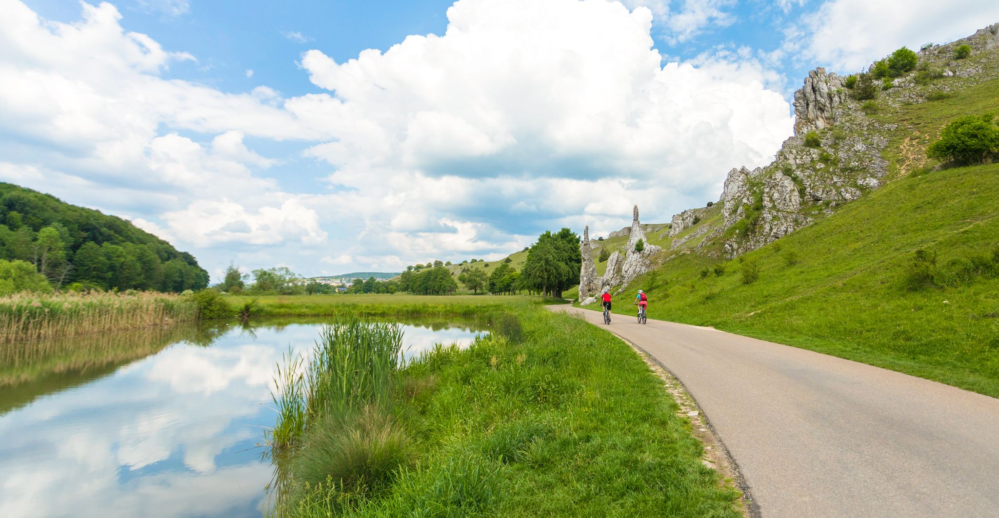
Feel the power of the water - cycling on the Swabian Alb
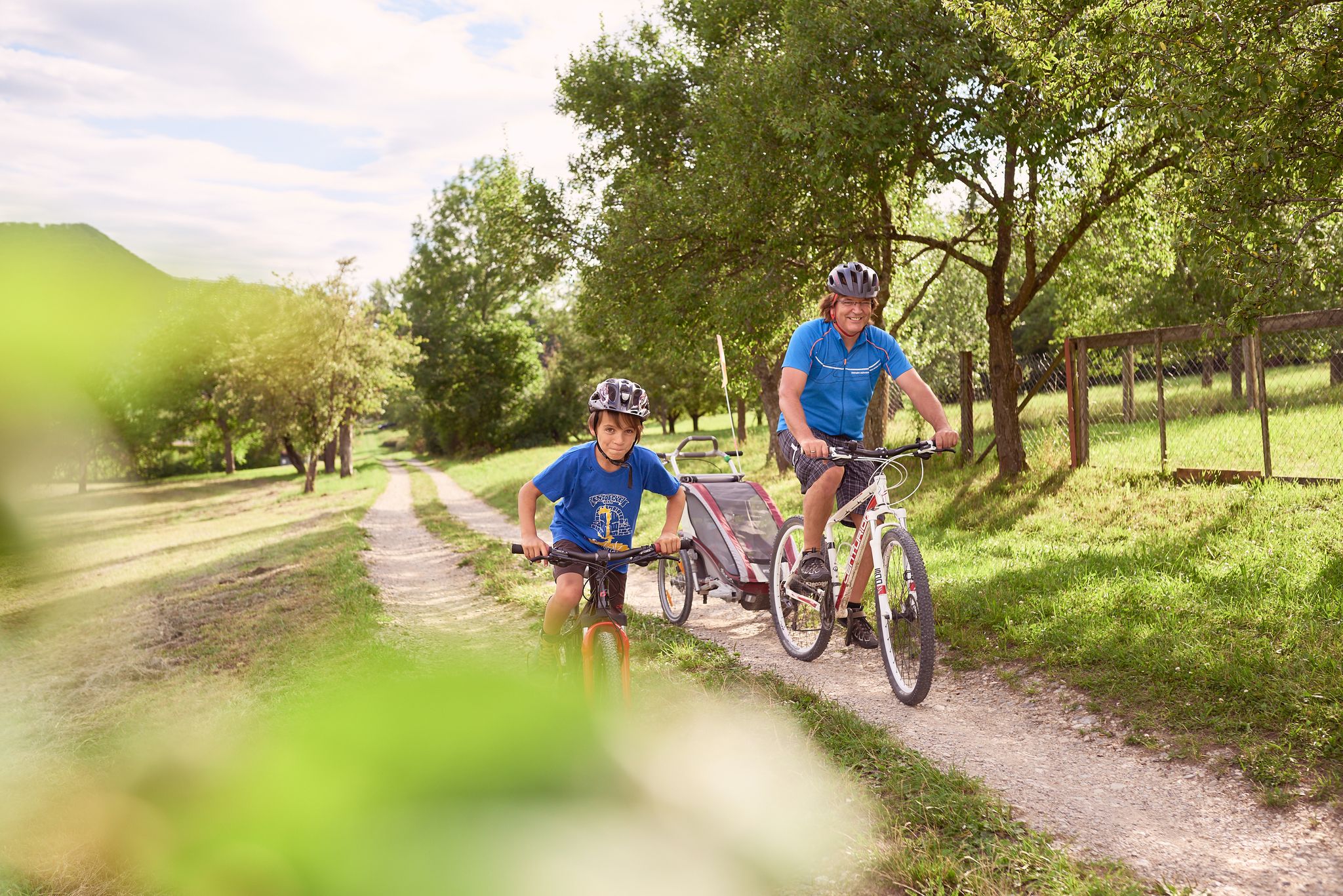
Discover the Früchtetrauf — cycle tours for the whole family
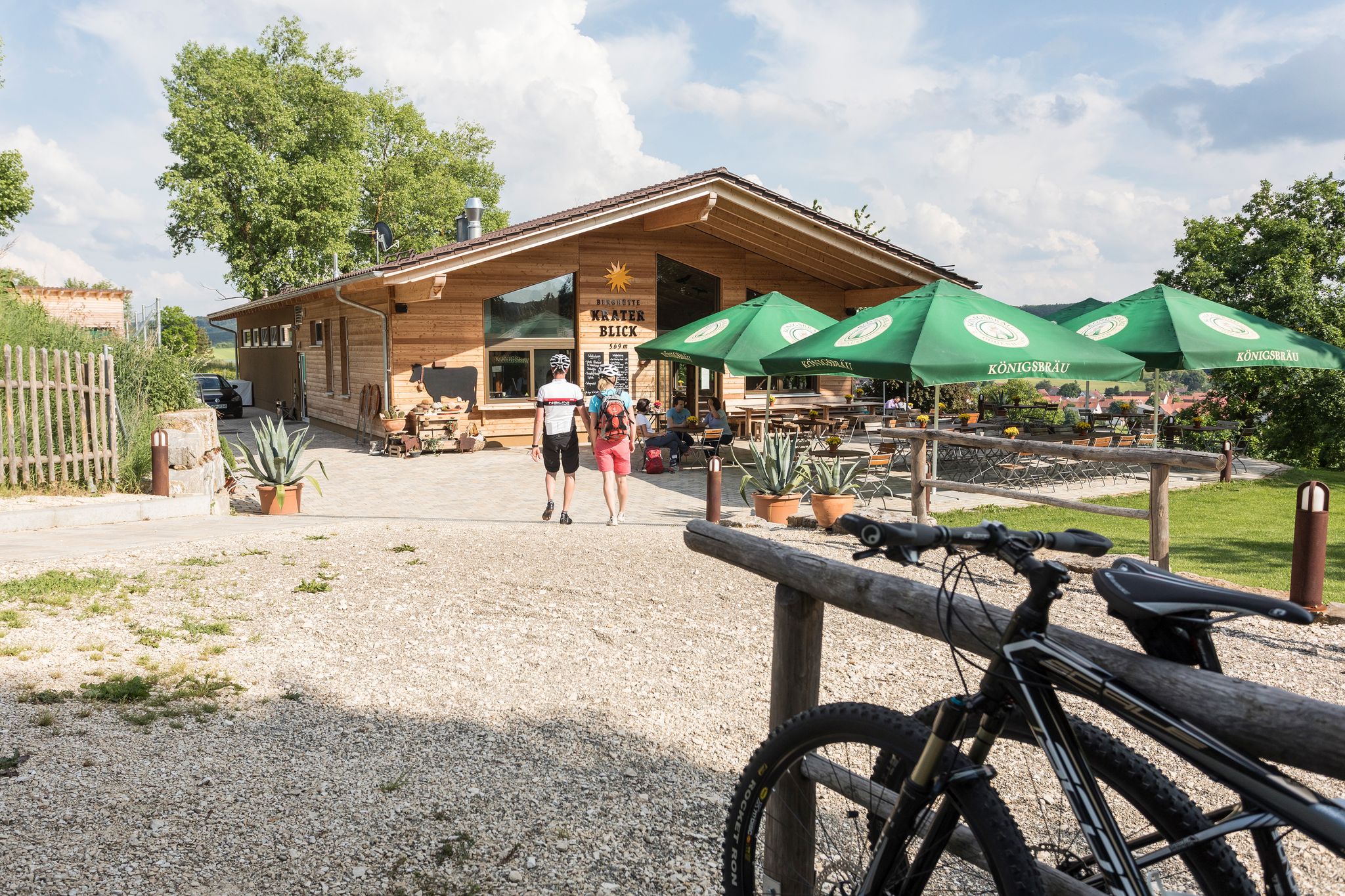
Cycling with all your senses on the Swabian Alb
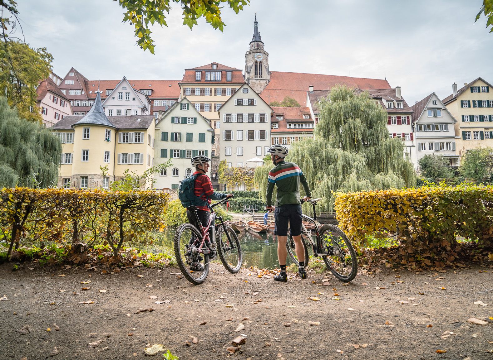
13 exciting themed bike Tours around Tübingen in Germany
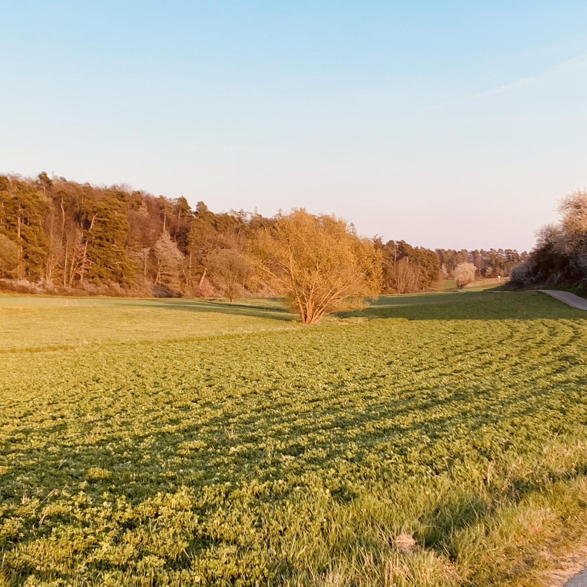
Cycling around Neustetten
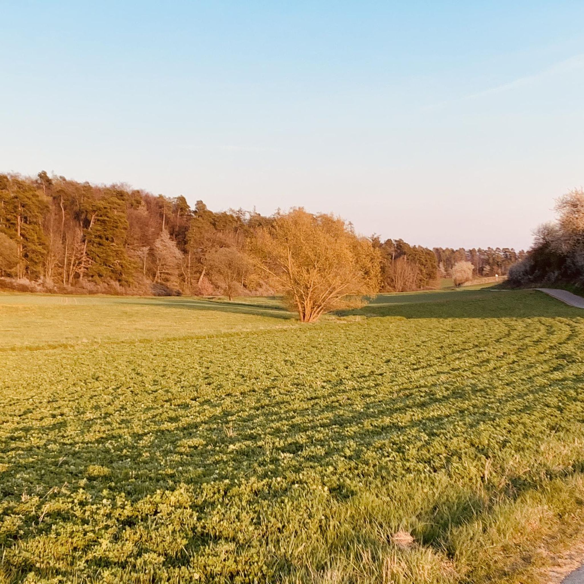
MTB Trails around Neustetten
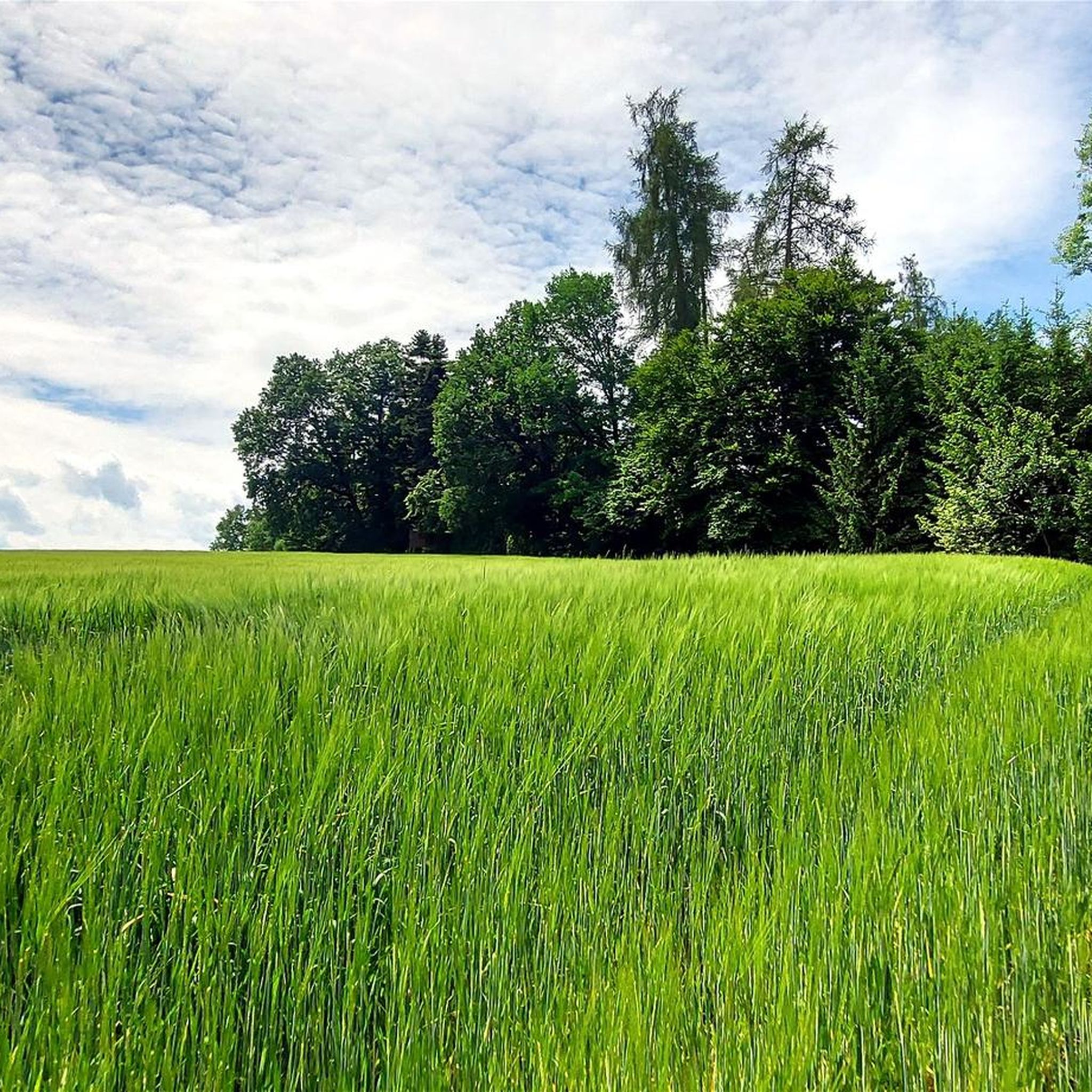
Hiking around Neustetten
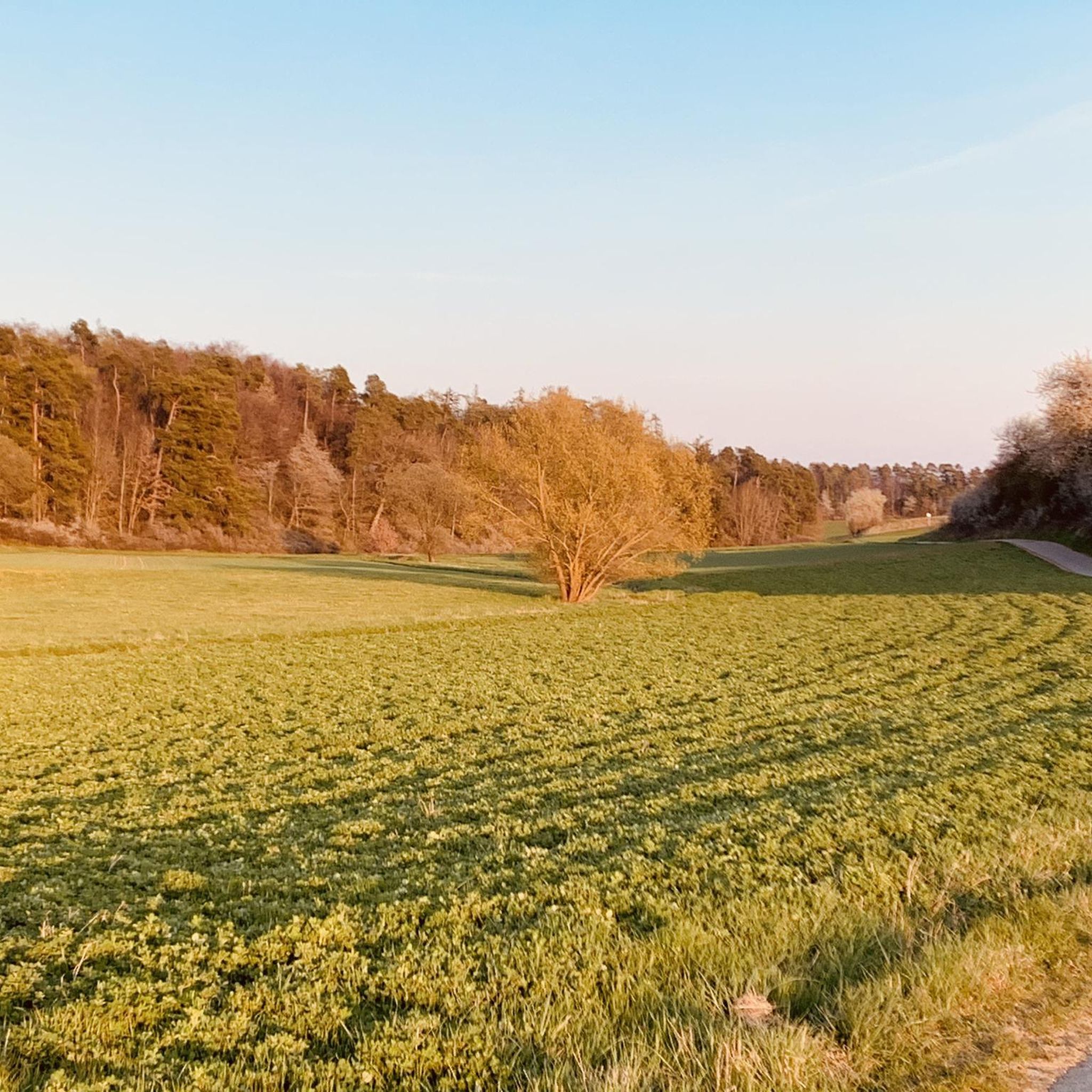
Road Cycling Routes around Neustetten
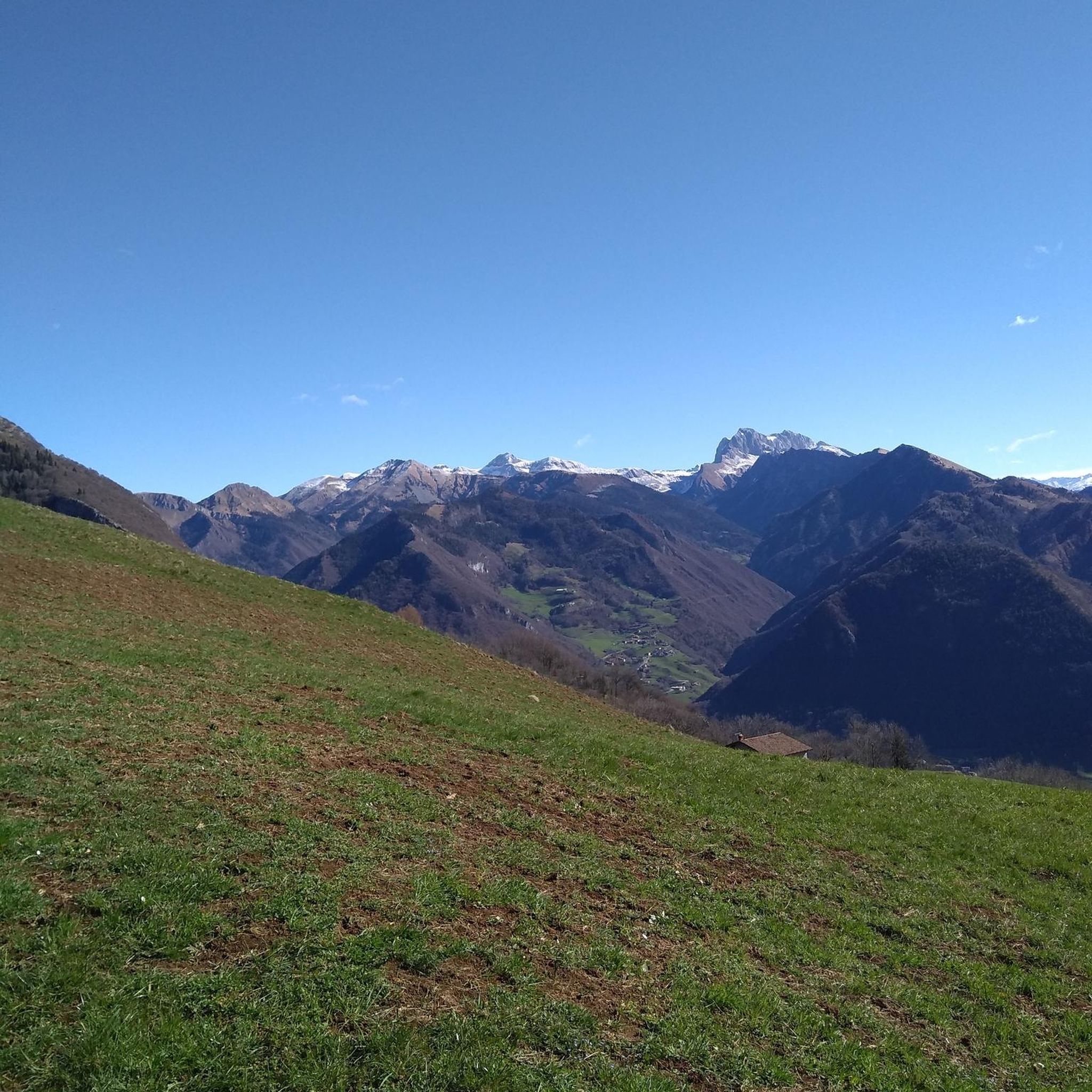
Gravel biking around Neustetten
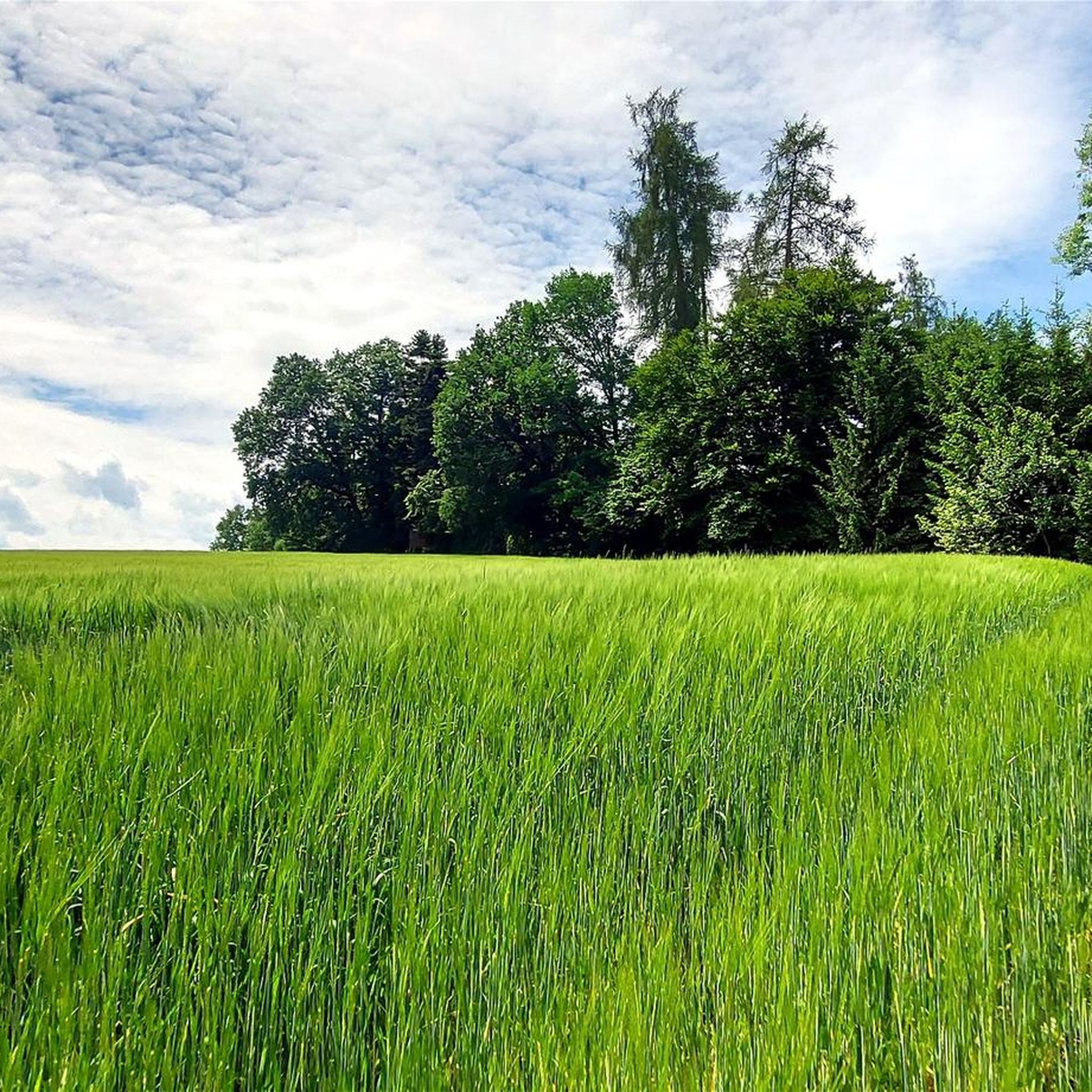
Running Trails around Neustetten
Other adventures around Neustetten


Tips from the Community

Randelrain is a hill in Rottenburg am Neckar, Tübingen, Baden-Württemberg and has an elevation of 475 metres. Randelrain is situated nearby to the village Wendelsheim, as well as near Oberndorf. Quelle:https://mapcarta.com/35443120
0
0

Beautiful shady path through the forest
1
0

always wonderful to walk there
1
1

No viewpoint because the summit is in the middle of the forest!
3
0

One of the seven mountains on the 7-mountain circuit in Nagold
3
0
One of the seven mountains on the 7-mountain circuit in Nagold
2
0

Beautiful information board where the 7 mountains path is explained in detail and with a route map.
14
0
The Wolfsberg is the industrial area of Nagold.
8
0
Frequently Asked Questions
What are some notable elevated points or 'peaks' to explore around Neustetten?
While Neustetten is characterized by hilly terrain rather than prominent mountain peaks, several elevated spots offer scenic views and trails. Key highlights include Ziegel/Steinberg on the 7 Mountains Trail, which stands at 533 meters, and Wolfsberg (526 m), part of the 7-mountain circuit in Nagold. Another popular spot is Spitzberg Summit (475 m), known for its shady forest path.
What kind of natural features can I expect to see on these elevated trails?
The region around Neustetten features a generally hilly topography with extensive forests. You can find viewpoints like Randelrain, which offers elevated perspectives. Spitzberg Summit (475 m) is located within a forest, providing a pleasant shady path, though without an open viewpoint. Additionally, Bischofsee and Burglehen Hill View includes a lake, adding to the natural diversity.
Are there any family-friendly elevated spots or trails near Neustetten?
Yes, Bischofsee and Burglehen Hill View is noted as family-friendly. It features a lake and an easy single trail, making it suitable for a relaxed outing with children.
What outdoor activities are available near the elevated areas of Neustetten?
Beyond exploring the elevated points, Neustetten offers a variety of outdoor activities. You can find numerous routes for running, gravel biking, and road cycling. These guides provide detailed information on trails ranging from easy to difficult, allowing you to choose an activity that suits your preference.
Are there specific hiking trails associated with these elevated points?
Yes, some elevated points are part of well-known trails. For instance, Ziegel/Steinberg and Wolfsberg are both integral parts of the 7 Mountains Trail or 7-mountain circuit in Nagold, offering structured routes for exploration.
What is the highest elevated point mentioned around Neustetten?
The highest elevated point mentioned is Ziegel/Steinberg on the 7 Mountains Trail, which reaches an elevation of 533 meters above sea level.
Can I find information about the local history or geology at these elevated spots?
Yes, at Ziegel/Steinberg on the 7 Mountains Trail, there is an information board that details the 7 Mountains Path, providing context about the area. The name of Wolfsberg (526 m) also hints at the region's past, as it's named after predators once native to the area.
Are there any elevated spots that offer panoramic views?
Yes, Randelrain is specifically categorized as a viewpoint. While Spitzberg Summit (475 m) is an elevated point, it does not offer a viewpoint as it is situated within a forest.
What do visitors particularly enjoy about the elevated areas near Neustetten?
Visitors appreciate the natural landscapes and the variety of elevated experiences. The komoot community has shown significant engagement, with over 110 upvotes and more than 40 photos shared across these spots, indicating a positive reception for the scenic trails and natural beauty.
Are there any easy trails for casual walks among the elevated points?
Yes, Bischofsee and Burglehen Hill View offers a very easy single trail that is suitable for casual walks, even with a normal bike. The path through the forest at Spitzberg Summit (475 m) is also described as a beautiful shady path, wonderful for walking.
What is the general elevation range of the elevated points in Neustetten?
The elevated points around Neustetten generally range from an average elevation of approximately 449 meters, with the highest specific highlight reaching 533 meters above sea level.
Are there any alternatives to potentially crowded trails for a quieter experience?
While specific crowd levels aren't detailed for each spot, the region's overall hilly nature and numerous trails for running, gravel biking, and road cycling provide many options. Exploring the various routes listed in the running, gravel biking, and road cycling guides can help you find less frequented paths for a more tranquil experience.
Most popular routes around Neustetten
Most popular attractions around Neustetten

Get inspired with the komoot mobile app


Explore more
See even more amazing summits around Neustetten with these guides:
