The 7 Most Amazing Peaks around Bibra
Best mountain peaks around Bibra are characterized by a charming landscape of hills and elevated forests, providing picturesque hiking opportunities and scenic views. The area is not known for towering mountains but offers serene natural beauty and well-maintained trails. These elevated areas are valued for tranquil natural beauty, opportunities for hiking and cycling, and glimpses into local history. The region features a variety of natural monuments, viewpoints, and forested summits.
Best mountain peaks around Bibra
- The most popular mountain peaks…
Last updated: August 7, 2026
Dohlenstein
Highlight • Natural Monument
More information: de.wikipedia.org/wiki/Dohlenstein
Translated by Google •
Tip by

Jena-Göschwitz station
Highlight • Rest Area
Take-away lunch is available on platform 3/4 from Monday to Friday. All dishes cost € 5.
Bockwurst sausages, Viennese, …
Translated by Google •
Tip by

Sign up now to discover places like this
Get recommendations on the best single tracks, peaks, & plenty of other exciting outdoor places.
Sign up for free
Alpine Ascent to Dohlenstein and Trail to Leuchtenburg
Highlight • Trail
Translated by Google •
Tip by

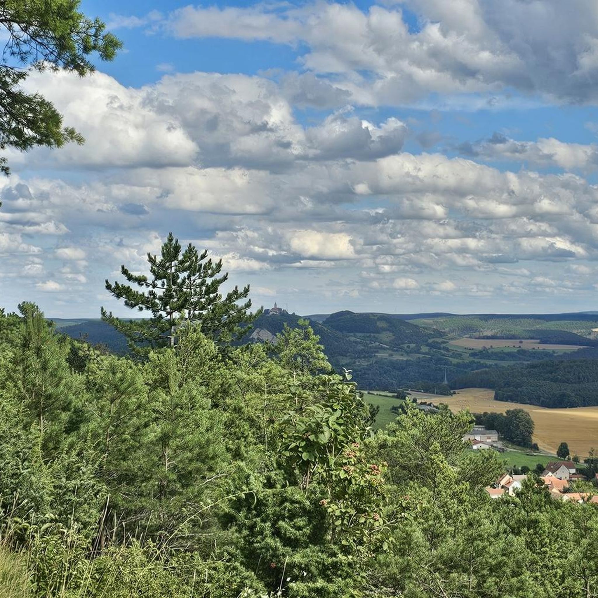
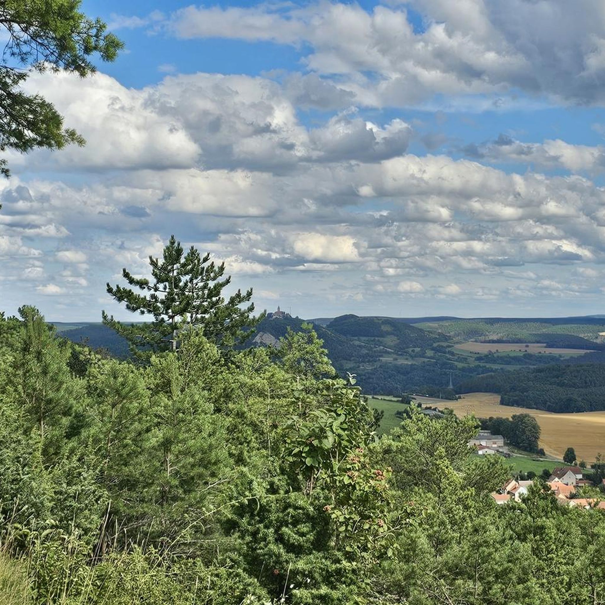
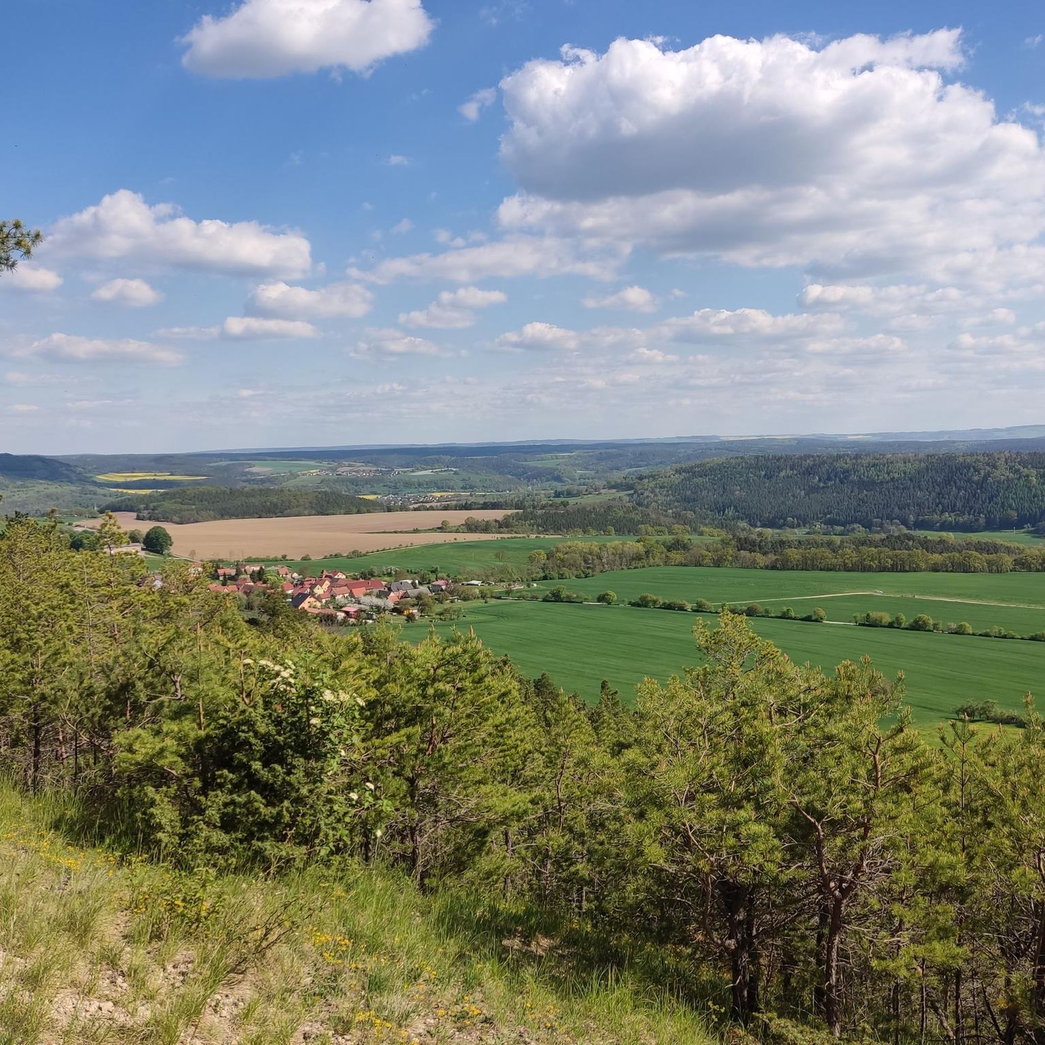
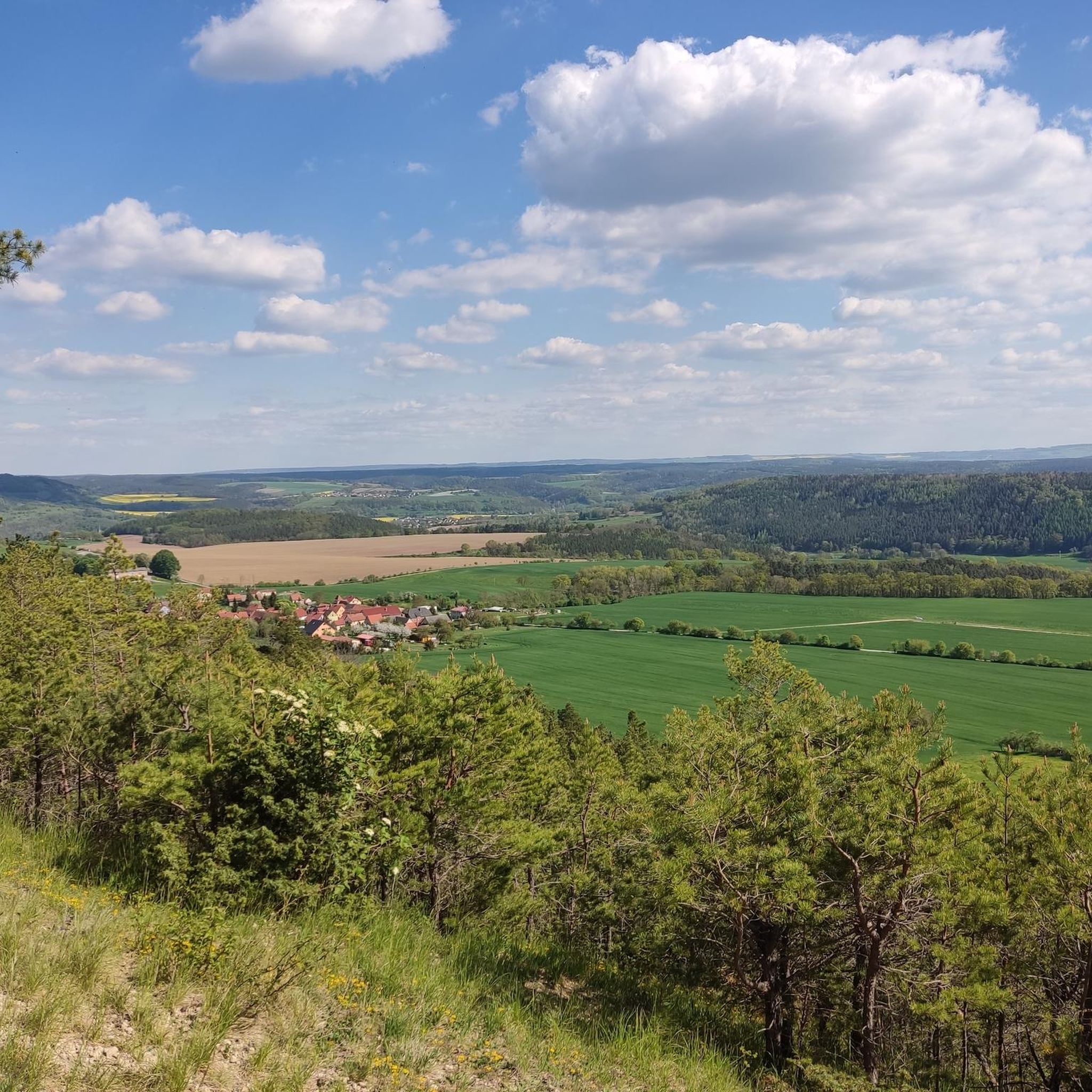
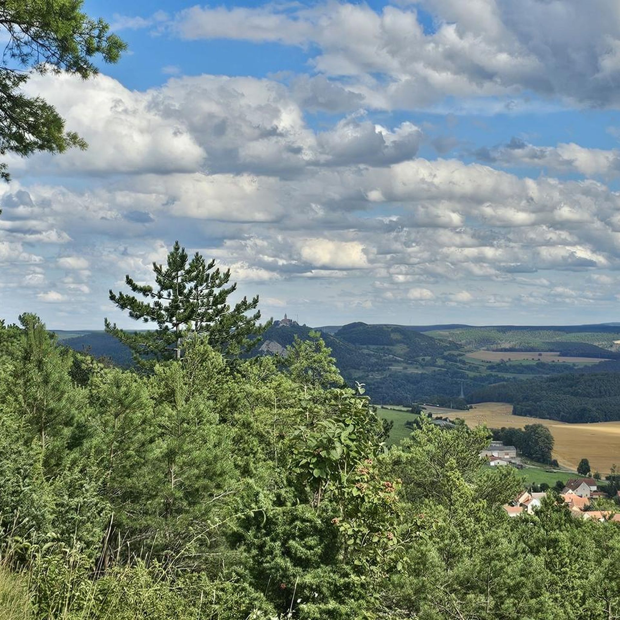
Hilltop near Dürrengleina
Highlight • Viewpoint
Translated by Google •
Tip by

Summit Cross In The Long Pines
Highlight • Summit
Translated by Google •
Tip by

Sign up for free to discover even more peaks around Bibra.
Sign up for free
Already have an account?
Start today with a free account
Your next adventure awaits.
Login or Signup
Tips from the Community


There are two clearly defined alpine ascents that are easily manageable with trekking poles. Beyond these, there are other routes, but these carry a slightly higher risk of slipping. This risk can be reduced by wearing very good hiking boots, using trekking poles effectively, and having absolute sure footing. Any injuries can be mitigated by reacting quickly and correctly if you do slip. A free fall is out of the question as long as you're not climbing. Given the loose rock, climbing is not advisable anyway.
0
0

You can do the trail without climbing equipment. However, it's very steep, sometimes slippery, and unsecured. In my opinion, it's very dangerous when wet. Fantastic views!
0
0
Yes, you could say that: you don't need climbing equipment. But it's steep, sometimes slippery, and not doable when wet. Fantastic view from the top!
0
0

Not far from the train station, two beautiful historic steel truss bridges lead over the Saale to the hiking trails to Leuchtenburg. It's worth looking at the river and the beavers' tracks from here!
2
0


I liked it. At least 6 platforms. With shelters. Ideal for starting and ending hikes.
1
0

The view of the rock from the bike path. A few daring people try to climb up here again and again. A little hint; let it go. The rock is brittle and very loose. The rescue from the wall is only possible with great effort. So just look up in awe and hope that the Leuchtenburg doesn't accidentally come your way.
1
0
Frequently Asked Questions
What are some notable peaks to explore around Bibra?
While Bibra is known for hills rather than towering mountains, several elevated points offer great experiences. You can visit Dohlenstein, a natural monument with an interesting landscape and a small rest area overlooking the Saale. Another popular spot is Hilltop near Dürrengleina, which provides beautiful views in all directions. For a forested summit, consider the Summit Cross In The Long Pines, located at 282 meters high.
Are there easy hiking trails suitable for families near Bibra's peaks?
Yes, the region around Bibra offers numerous easy hiking options. For example, you can explore routes like the 'View of Kleineutersdorf – Walpersberg Historic Site loop from Großeutersdorf' or the 'Saale Weir, Kahla – Eutersdorf Swinging Bridge loop from Kahla'. These are part of the Easy hikes around Bibra guide, providing accessible paths for various fitness levels.
What kind of views can I expect from the peaks around Bibra?
The peaks and elevated areas around Bibra offer picturesque views of the surrounding forested landscapes and stream valleys. From Hilltop near Dürrengleina, you'll get expansive foresight in all directions. While some summits like the Summit Cross In The Long Pines are nestled within the woods without a direct valley view, they still provide a serene, elevated perspective within the natural environment.
Are there any historical sites associated with the peaks in the Bibra region?
Yes, the broader Saale-Holzland district features historical connections. For instance, the Luftschiff (also known as Rabis Castle or Burgrabis) at 417 meters, is a prominent mountain described as a historical settlement and viewpoint. It's known for its tranquil atmosphere and rich history, including its past as a restaurant. The region also has nearby historical sites like the Pforta Monastery and various castle complexes, enriching the outdoor experience with cultural exploration.
What is the best time of year to hike the peaks around Bibra?
The changing seasons, especially spring and autumn, are ideal times for visiting the peaks around Bibra. During these periods, you'll experience vibrant natural colors and comfortable temperatures, making for pleasant hiking conditions. While winter hiking is possible, some trails might be slippery or more challenging when wet, as noted for the 'Alpine Ascent to Dohlenstein'.
What outdoor activities, besides hiking, are available near Bibra's peaks?
Beyond hiking, the Bibra region is excellent for cycling. You can find various routes for road cycling, such as the 'View of the Dornburg Castles – Kunitz House Bridge loop' or the 'Oppurg Castle – Orlatal Valley loop', detailed in the Road Cycling Routes around Bibra guide. There are also options for gravel biking, including routes along the Orla Cycle Path, available in the Gravel biking around Bibra guide.
Where can I find a challenging climb in the Bibra region?
For a more challenging experience, consider the 'Alpine Ascent to Dohlenstein and Trail to Leuchtenburg'. While it doesn't require climbing equipment, it is described as steep, sometimes slippery, and potentially dangerous when wet. It offers fantastic views from the top and is a recognized point of interest for those seeking a more strenuous hike.
Are there any hidden gems or less-known peaks worth visiting near Bibra?
Within the immediate vicinity of Bibra, the Forst Bibra area features the Dr. Stockmann Höhe (291 meters) and Kaiser-Friedrichs-Höhe (290 meters). While not widely publicized, these offer quiet circuits through forests and stream valleys, providing peaceful hiking experiences away from more frequented spots. The Zimmritzer Höhe, at 447 meters, is another high point with a hut, offering a quiet stop.
What are some of the highest points in the broader Saale-Holzland district?
In the broader Saale-Holzland district, the Hopfberg is identified as the highest point overall. The Luftschiff (also known as Rabis Castle or Burgrabis) is the most prominent mountain in the district, standing at 417 meters. These offer expansive views of the Thuringian landscape and are popular destinations for hikers and cyclists.
What makes Dohlenstein a popular spot for visitors?
Dohlenstein is popular due to its interesting landscape as a natural monument. Visitors appreciate the small rest area that offers a pleasant view of the Dohlenstein itself and the Saale river in the background, making it a nice spot for a break or a cup of tea.
Is the <a href="https://www.komoot.com/highlight/2940225" target="_blank" rel="noopener">Summit Cross In The Long Pines</a> easily accessible?
The Summit Cross In The Long Pines is located in the middle of the woods at 282 meters high. It's not a big detour if you're on the Sulza-Bockedra road, being about 200 meters to the left. While it's a notable point, it does not offer a view of the valley.
What is the <a href="https://www.komoot.com/highlight/3510673" target="_blank" rel="noopener">Zimmritzer Höhe</a> known for?
The Zimmritzer Höhe is a high point at 447 meters, notable for a hut located at its summit, possibly used by local youth. It's considered worth a stop for those exploring the area, offering a quiet, elevated spot.
Are there loop trails available for hiking near Bibra?
Yes, several loop trails are available. For instance, the 'View of Kleineutersdorf – Walpersberg Historic Site loop from Großeutersdorf' and the 'Saale Weir, Kahla – Eutersdorf Swinging Bridge loop from Kahla' are examples of loop routes that allow you to explore the scenic areas around Bibra and its peaks.
Most popular routes around Bibra
Most popular attractions around Bibra

Get inspired with the komoot mobile app


Explore more
See even more amazing summits around Bibra with these guides:
