Niederhausen an der Appel
Niederhausen an der Appel
The 6 Most Amazing Peaks around Niederhausen an der Appel
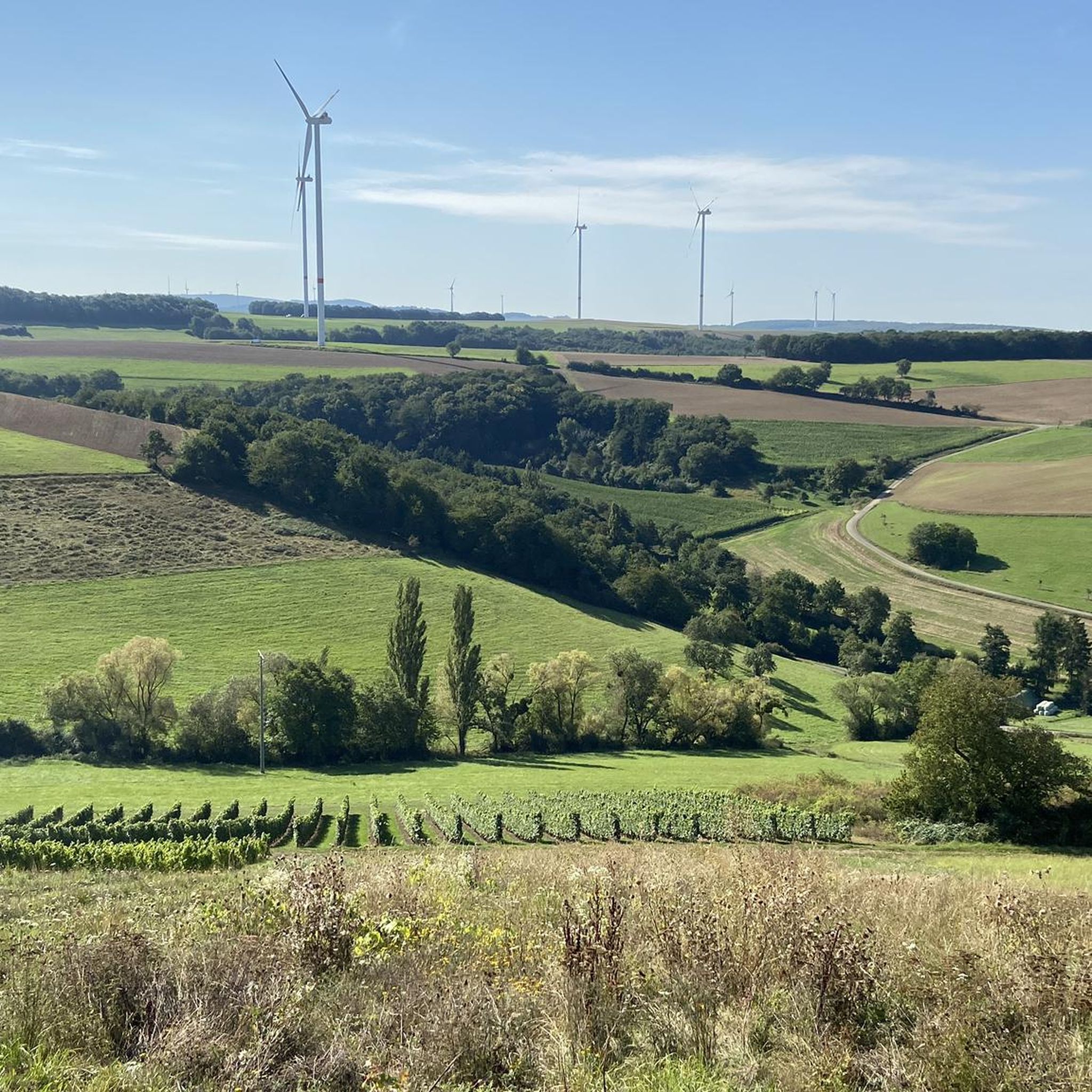
Best mountain peaks around Niederhausen an der Appel are characterized by rolling hills and picturesque vineyards, with the prominent Donnersberg nearby. The Donnersberg, the highest mountain in Rhineland-Palatinate at 687 meters above sea level, serves as a significant natural landmark. This region offers diverse landscapes for outdoor activities, combining natural beauty with historical significance. Visitors can explore a variety of terrain, from gentle slopes to higher elevations.
Best mountain peaks around Niederhausen an der Appel
- The most popular mountain peaks…
Last updated: October 14, 2026
View from the Gans (Bad Kreuznach)
Highlight • Viewpoint
Translated by Google •
Tip by

Lemberg Viewpoint
Highlight • Viewpoint
Translated by Google •
Tip by

Sign up now to discover places like this
Get recommendations on the best single tracks, peaks, & plenty of other exciting outdoor places.
Kappelberg Summit (Highest Point in Rheinhessen)
Highlight • Summit
Translated by Google •
Tip by

Shelter on the Way to Kappelberg
Highlight • Mountain Hut
Translated by Google •
Tip by

Gans (321.7 m) – Highest Point of the Salinental
Highlight • Summit
In the area are the 321.7 m high goose, the 290.8 m high Haidberg and the 136 m high porphyry rock formation Rheingrafenstein.
Have fun and ride save!
Translated by Google •
Tip by

Sign up for free to discover even more peaks around Niederhausen an der Appel.
Already have an account?
Start today with a free account
Your next adventure awaits.
Popular around Niederhausen an der Appel
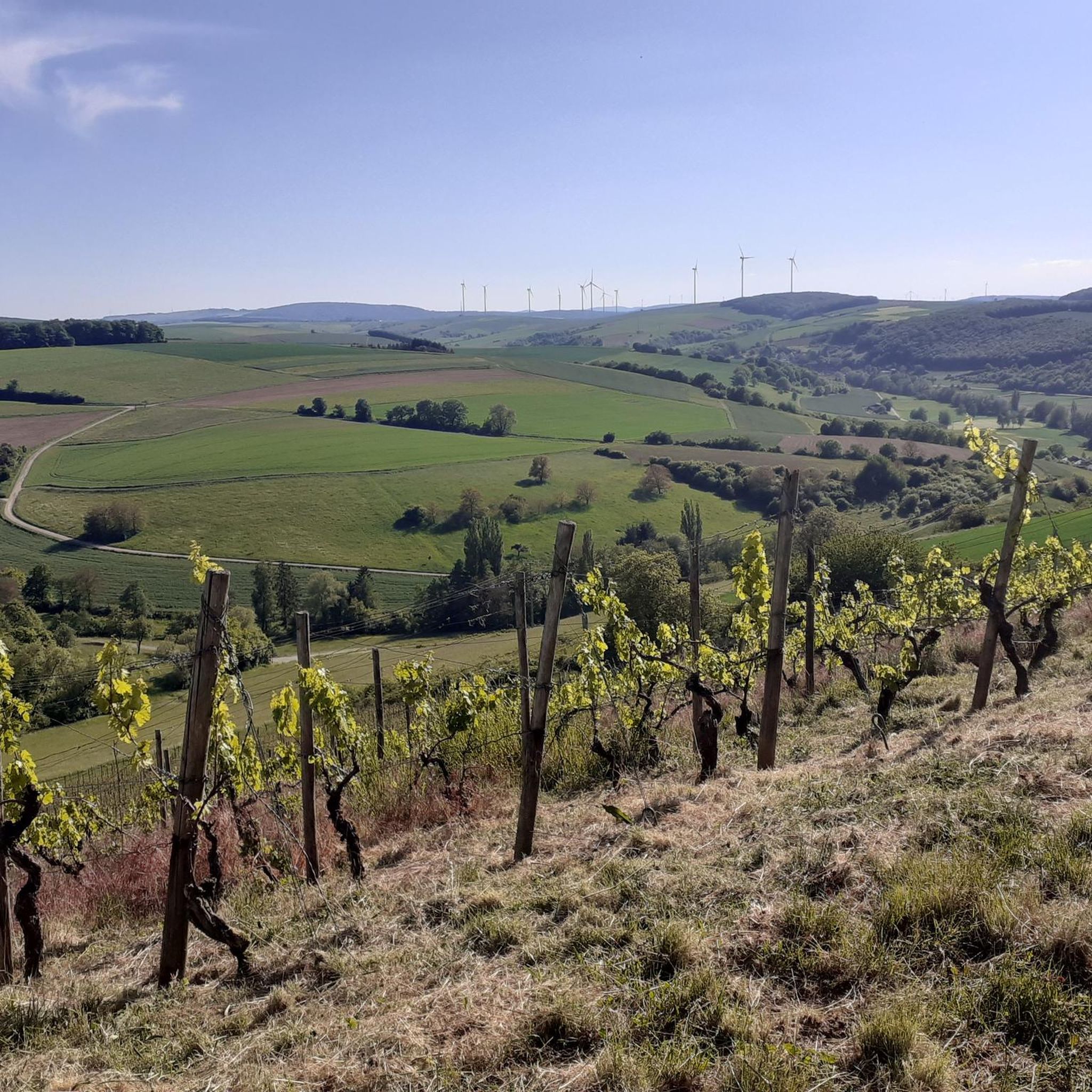
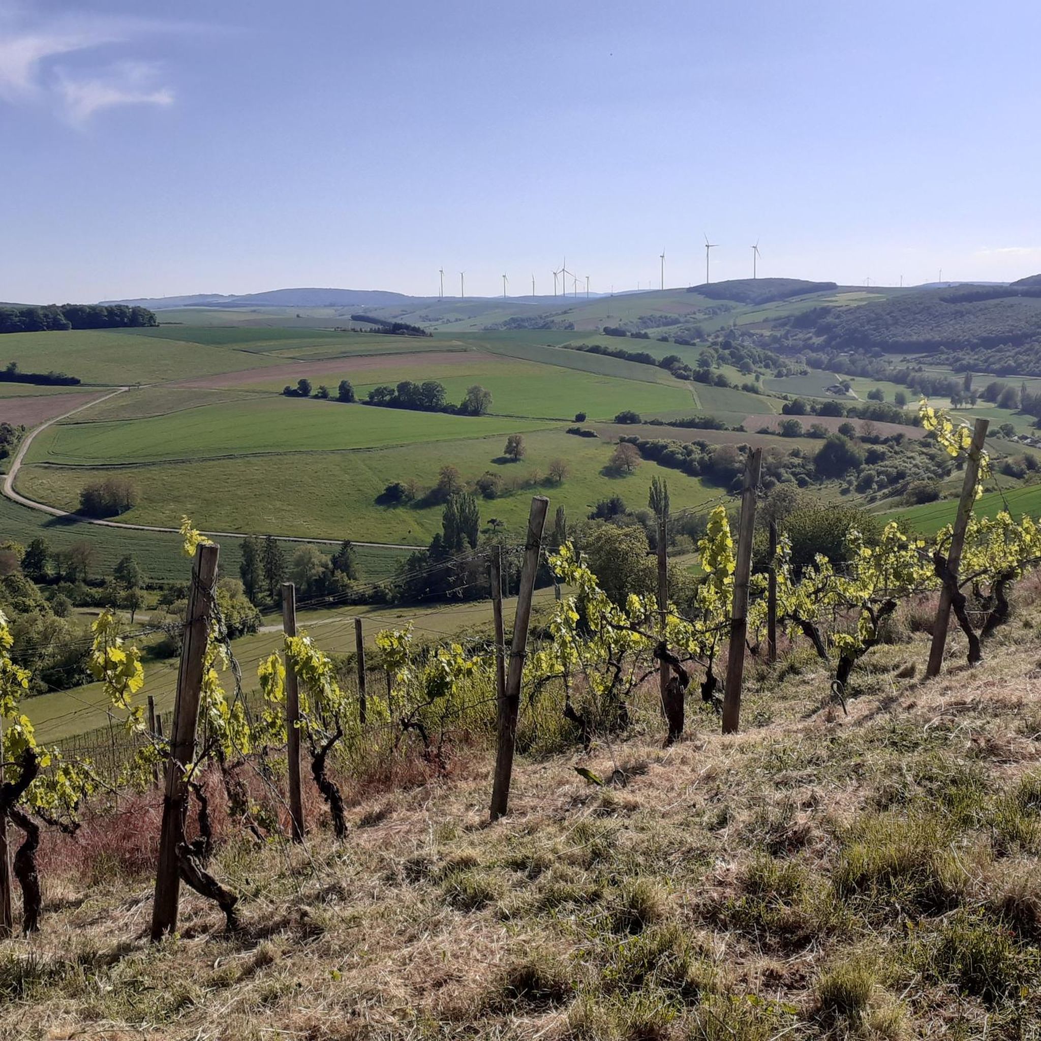
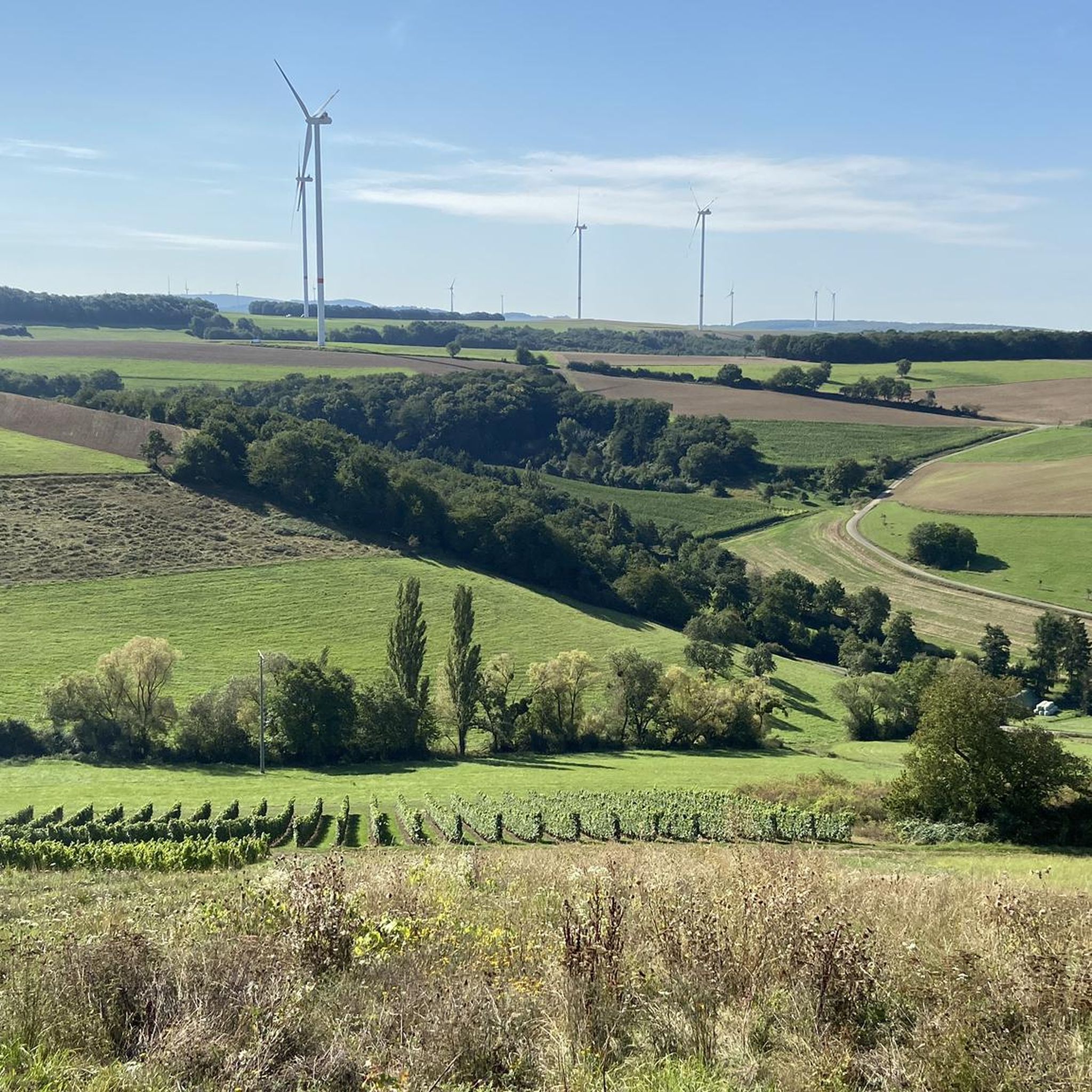
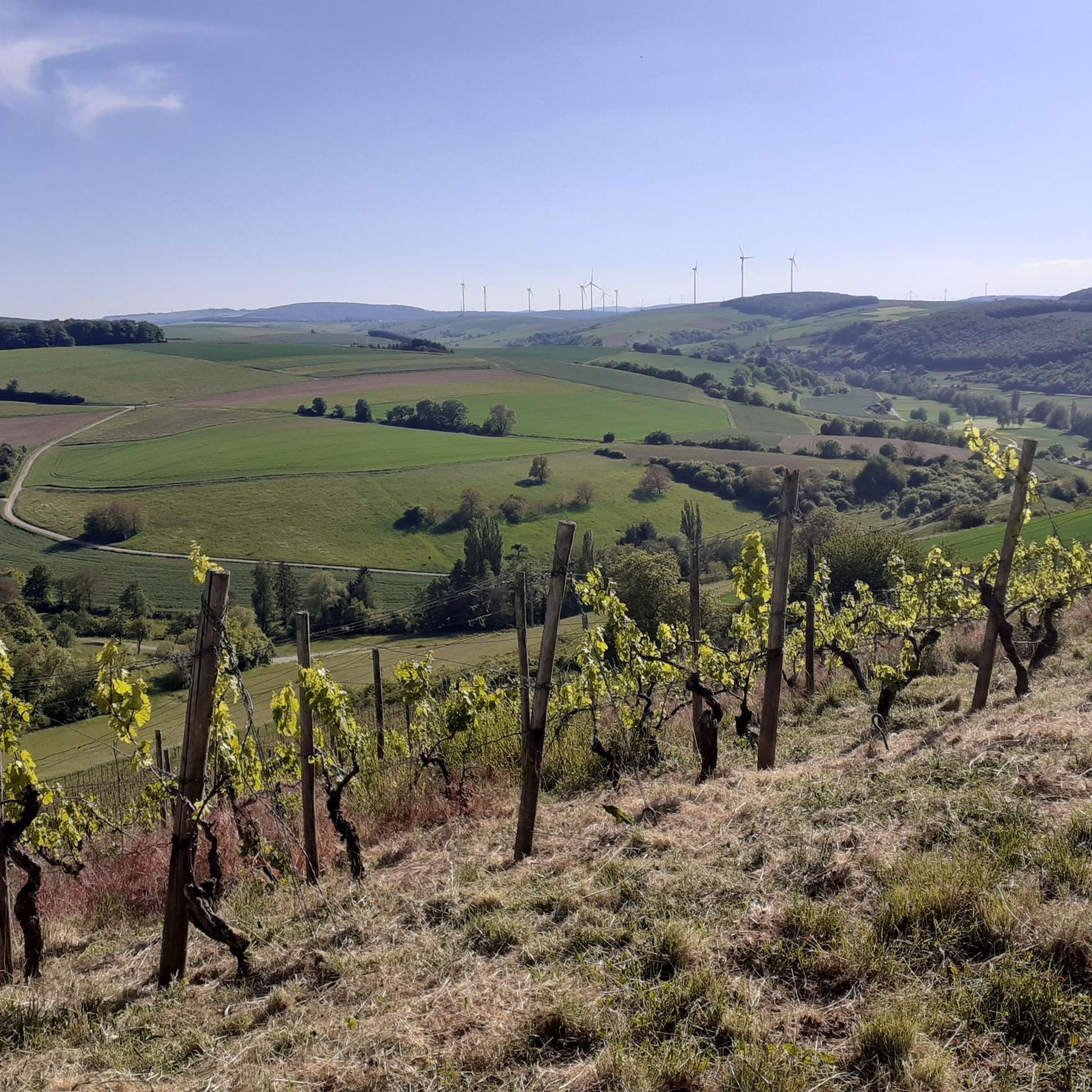
Tips from the Community

358m above sea level Some benches available
1
0

Stay on the main paths, even if it's a few kilometers longer. The single trails and sub-paths are largely overgrown and impassable.
1
1

The Kappelberg is 358 m above sea level. NHN the highest mountain in Rheinhessen. It is located in the Saar-Nahe mountains between Offenheim and Oberwiesen in the Rhineland-Palatinate district of Alzey-Worms, close to the Donnersberg district. Wikipedia
2
1

We can really score with our highest elevations in Rheinhessen :-), but for me as a lowland Tyrolean it's almost a mountain. There is a summit cross and a nice place to rest.
2
0

This little hut is on the trail to the Kappelberg.
1
0
The Kappelberg is 358 m above sea level. NHN [1] [2] the highest mountain in Rheinhessen. It is located in the Saar-Nahe-Bergland between Offenheim and Oberwiesen in the Rhineland-Palatinate district of Alzey-Worms in the vicinity of the Donnersbergkreis. The Kappelberg rises within the North Palatinate Uplands - near the border with the Palatinate - in the municipality of Offenheim. The summit of the mountain in the Vorholzwald is 4 km southwest of Offenheim, 3.2 km northwest of Morschheim, 1.8 km north-northwest of Orbis, 1.9 km northeast of Oberwiesen, 2.3 km south of Nieder-Wiesen and 2, 6 km southwest of Bechenheim. Past the Kappelberg to the west, the Wiesbach flows through Oberwiesen and further north-northeast through Nieder-Wiesen. The Selz rises a little south-southeast of the mountain near Orbis. The Kappelberg is located on the edge of the protected landscape area Rheinhessische Schweiz, [2] but is not generally counted as part of the eponymous landscape. The state road 406 runs south past the Kappelberg between Offenheim and Oberwiesen, from which the L 407 branches off east of the mountain, leading north to Bechenheim.
0
0

Highest elevation in Rheinhessen
0
0

Somewhat hidden, but signposted, you will find the Kappelberg, the highest point in Rheinhessen. Nice resting place with a summit cross
0
0
Frequently Asked Questions
What is the most prominent mountain peak near Niederhausen an der Appel?
The most prominent mountain peak in the immediate vicinity of Niederhausen an der Appel is the Donnersberg. It is the highest mountain in Rhineland-Palatinate, reaching an elevation of 687 meters above sea level, and offers extensive hiking opportunities and panoramic views.
What kind of views can I expect from the mountain peaks in this region?
The region offers several excellent viewpoints. From the Donnersberg, you can enjoy breathtaking panoramic views, especially from the Ludwigsturm. Other notable viewpoints include View from the Gans (Bad Kreuznach), which provides expansive views over Bad Münster am Stein-Ebernburg and Bad Kreuznach, and the View of the Nahe Valley from Lemberghütte Observation Platform, offering stunning vistas of the Nahe valley.
Are there family-friendly mountain trails around Niederhausen an der Appel?
Yes, several mountain peaks and trails in the area are considered family-friendly. Highlights like the View from the Gans (Bad Kreuznach), View of the Nahe Valley from Lemberghütte Observation Platform, and Kappelberg Summit (Highest Point in Rheinhessen) are all categorized as suitable for families. The Donnersberg also has various hiking trails catering to different difficulty levels, including moderate options.
What historical sites can be found on the Donnersberg?
The Donnersberg is rich in history. It was home to an important Celtic settlement (oppidum) around 150 BC, covering approximately 240 hectares. Visitors can explore reconstructions of Celtic buildings and a reconstructed section of the ancient city wall (Keltenwall). Additionally, the mountain was once surrounded by five medieval castle ruins, including Tannenfels, Wildenstein, Hohenfels, Falkenstein, and Ruppertsecken, offering fascinating glimpses into medieval life.
What geological features are notable about the Donnersberg?
The Donnersberg is recognized as a National Geotope due to its unique geology. It was formed by volcanic activity about 300 million years ago, where several volcanic mountains inflated to form a large massif. The highest point of the Donnersberg is the rock Königstuhl, showcasing its volcanic origins.
Are there easy hiking routes near Niederhausen an der Appel's peaks?
Yes, there are several easy hiking routes available. For example, you can find options like the 'Hiking loop from Mörsfeld' or the 'Appelbach River in Tiefenthal – Pond in the Appelbach wetland loop from Tiefenthal'. You can explore more easy hikes in the area by visiting the Easy hikes around Niederhausen an der Appel guide.
What other outdoor activities can I do near these mountain peaks?
Beyond hiking, the region offers excellent opportunities for cycling. You can find various routes for touring bicycles, such as the 'Bridge over the Appelbach – Wöllstein Fairy Tale Trail loop from Niederhausen an der Appel'. For more options, check out the Cycling around Niederhausen an der Appel guide and the Road Cycling Routes around Niederhausen an der Appel guide.
What is the Kappelberg Summit and what does it offer?
The Kappelberg Summit (Highest Point in Rheinhessen), at 358 meters above sea level, is the highest mountain in Rheinhessen. It is located in the Vorholzwald and offers a nice place to rest with benches. While not as high as Donnersberg, it provides a pleasant forest experience and is considered family-friendly.
What do visitors particularly enjoy about the mountain peaks around Niederhausen an der Appel?
Visitors frequently praise the magnificent views, such as those from the View from the Gans (Bad Kreuznach), which is described as a central meeting and viewing point. The well-secured observation deck at the View of the Nahe Valley from Lemberghütte Observation Platform is also highly recommended for its stunning vistas. The combination of natural beauty, extensive hiking, and historical significance, especially on the Donnersberg, makes the region a unique destination.
Is there a specific observation tower on the Donnersberg?
Yes, the Donnersberg features the Ludwigsturm, a 27-meter tall tower constructed in 1864–1865. From this tower, you can experience some of the most breathtaking panoramic views of the surrounding landscape.
Are there any shelters or huts available on the trails?
Yes, for those exploring the Kappelberg area, there is a Shelter on the Way to Kappelberg. This small hut provides a convenient resting spot along the trail to the summit.
What is the 'Gans' and where is it located?
The 'Gans' refers to two related highlights: View from the Gans (Bad Kreuznach) and Gans (321.7 m) – Highest Point of the Salinental. Both are located in the nature reserve Bad Kreuznach city forest and offer magnificent views over the spa towns of Bad Münster am Stein-Ebernburg and Bad Kreuznach, as well as the Nahetal.
Most popular routes around Niederhausen an der Appel
Most popular attractions around Niederhausen an der Appel

Get inspired with the komoot mobile app


Explore more
See even more amazing summits around Niederhausen an der Appel with these guides:
