The 4 Most Amazing Peaks around Strasburg (Uckermark)
Mountain peaks around Strasburg (Uckermark) are characterized by rolling hills and elevated areas rather than traditional towering mountains. The region, located in Mecklenburg-Vorpommern, Germany, features diverse landscapes of fields, forests, and natural features. The town itself has an average elevation of 68 meters, with its highest point reaching 164 meters above sea level. The Brohmer Berge, partly within the northern community area, offers scenic views and recreational opportunities, reaching heights of up to 133 meters.
Best mountain peaks around Strasburg…
Last updated: June 27, 2026
Helpter Berg Summit (Highest Point in Mecklenburg-Vorpommern)
Highlight • Summit
Translated by Google •
Tip by

Helpterberg Telecommunications Tower
Highlight • Monument
Translated by Google •
Tip by

Sign up now to discover places like this
Get recommendations on the best single tracks, peaks, & plenty of other exciting outdoor places.
Sign up for free
Römerberg
Highlight • Summit
Translated by Google •
Tip by

Helpter Berg
Highlight • Summit
Only clouded by some worse trails.
Translated by Google •
Tip by

Helpter Berg Pass Road
Highlight • Mountain Pass
Translated by Google •
Tip by

Start today with a free account
Your next adventure awaits.
Login or Signup
Popular around Strasburg (Uckermark)
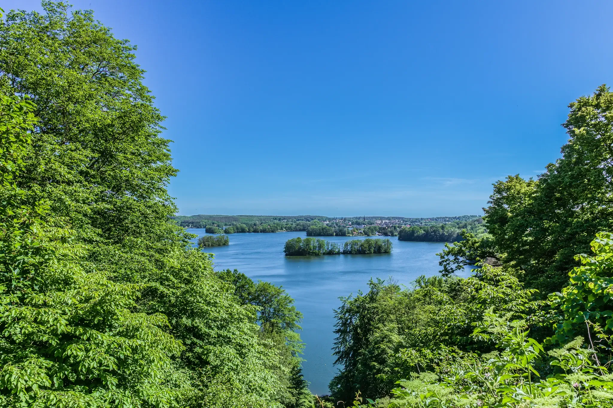
Germany's MV Nature Park Trail — Hike through epic natural landscapes
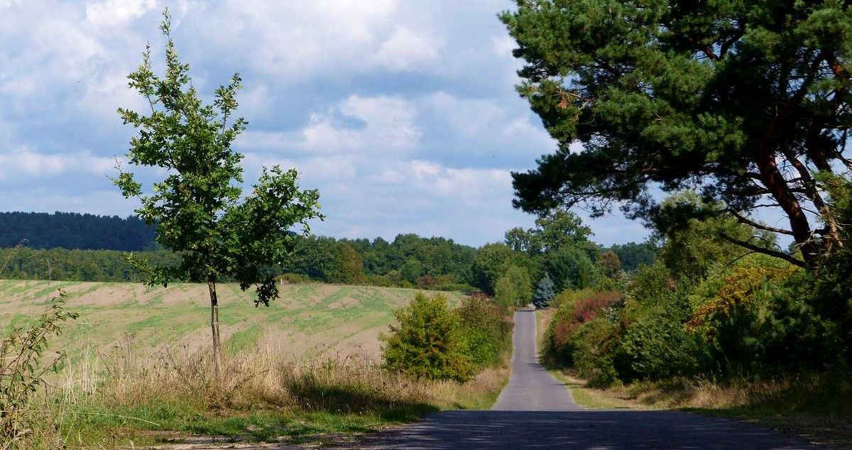
Cycling the Ice Age Route in the Mecklenburg Lake District
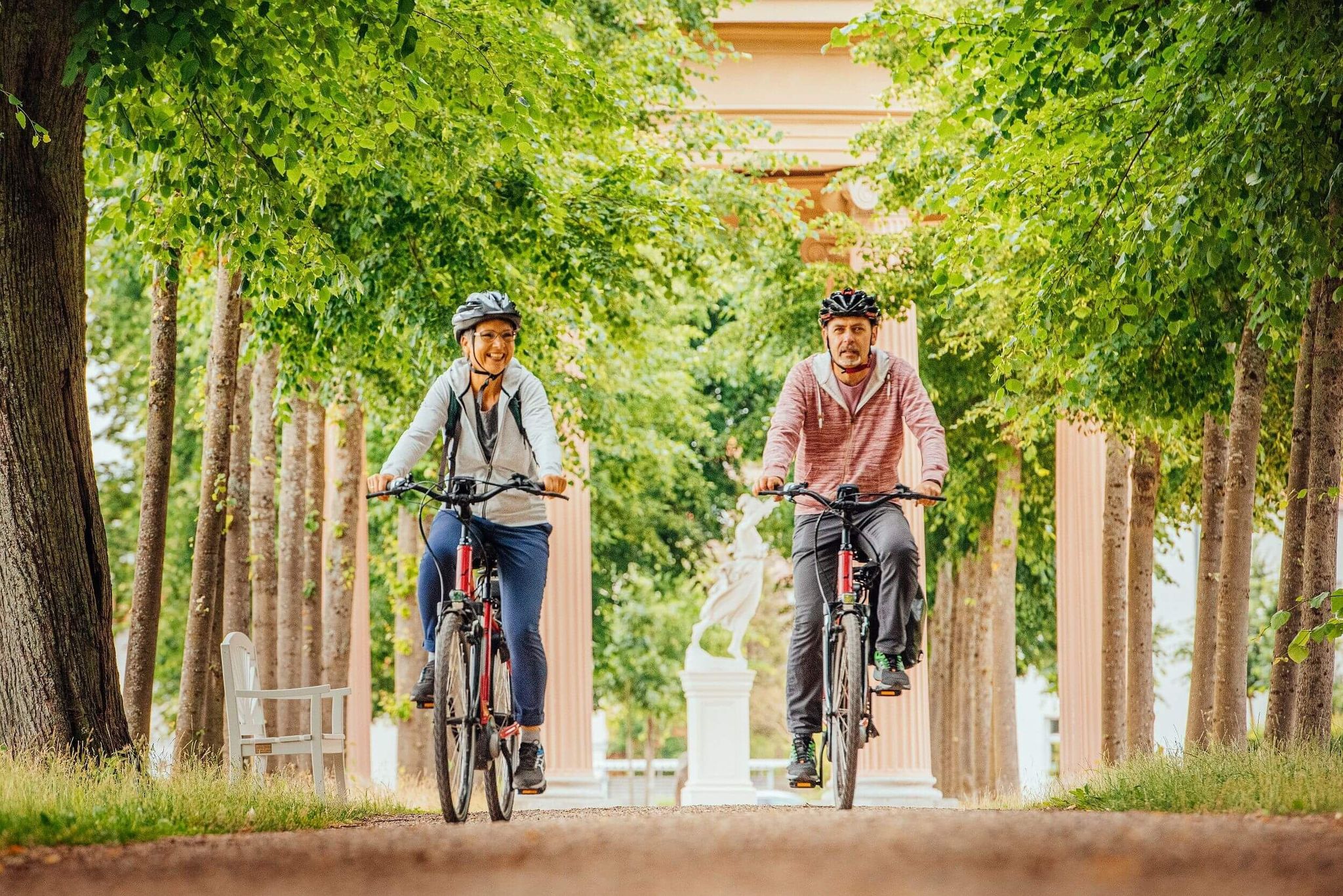
Unterwegs auf der Eiszeitroute
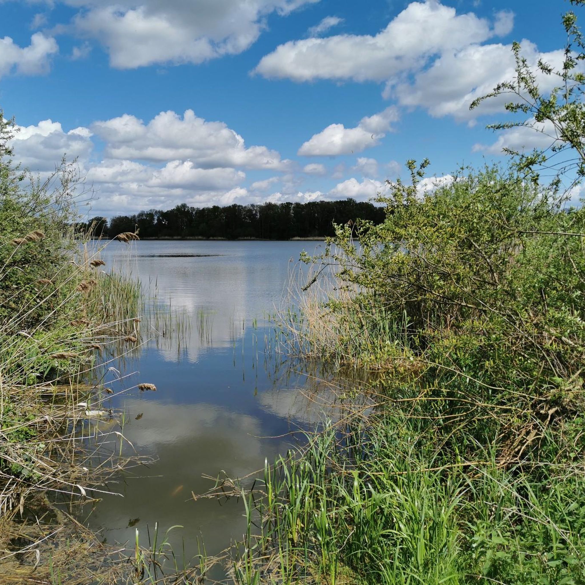
Hiking around Strasburg (Uckermark)
Cycling around Strasburg (Uckermark)
Road Cycling Routes around Strasburg (Uckermark)
Running Trails around Strasburg (Uckermark)
MTB Trails around Strasburg (Uckermark)
Other adventures around Strasburg (Uckermark)


Tips from the Community

the highest mountain in MV, this time just passed
0
0

The Helpterberg telecommunications tower is a 170 meter high transmission tower for VHF radio and television on the south-west slope of the Helpter mountains in Woldegk in Mecklenburg-Western Pomerania. The telecommunications tower, which is not open to the public, was built by Deutsche Post in 1981 and is now operated by Media Broadcast.
1
0

The Helpterberg telecommunications tower is a 170 meter high transmission tower for VHF radio and television on the south-west slope of the Helpter mountains in Woldegk in Mecklenburg-Western Pomerania. The telecommunications tower, which is not open to the public, was built by Deutsche Post in 1981 and is now operated by Media Broadcast. (Source: https://de.wikipedia.org/wiki/Fernmeldeturm_Helpterberg on 10/14/2022)
2
0

Nice descent after not so easy ascent, and quite steep.
0
0

The Helpter Berg is the highest point in MV. The small road does not lead directly over the mountain, but the air becomes noticeably thinner
0
0

The Helpter Berg is one of the 16 highest peaks in the German federal states (Top of Germany) summitlynx.com
8
0
The Helpter Berg is one of the 16 highest peaks in the German federal states (Top of Germany) www.summitlynx.com
6
0
1,795 decimeters to the summit. Once at the top, the summit cross with a rest area awaits the ambitious summiteer.
12
0
Frequently Asked Questions
What are the highest points or elevated areas near Strasburg (Uckermark)?
The highest point in the region, and indeed in Mecklenburg-Vorpommern, is the Helpter Berg Summit, reaching 164 meters above sea level. Another significant elevated area is the Brohmer Berge, which reaches up to 133 meters above sea level and is partly located within the northern community area of Strasburg (Uckermark).
What kind of landscape can I expect when visiting the elevated areas around Strasburg (Uckermark)?
You can expect a diverse landscape of rolling hills, wide fields, and dense forests. The region is part of the 'Uckermark Lakes' nature park, offering picturesque paths and tranquil natural surroundings, ideal for nature lovers and hiking enthusiasts.
Are there good hiking opportunities in the Brohmer Berge?
Yes, the Brohmer Berge offers numerous opportunities for exploration with picturesque paths. It's an ideal area for hiking enthusiasts to enjoy the tranquility of nature and sweeping views. The trails vary in difficulty, catering to different fitness levels.
Are there easy or beginner-friendly hikes around Strasburg (Uckermark)?
Yes, there are several easy hikes available. For example, the guide for Easy hikes around Strasburg (Uckermark) lists routes like the 'Memorial Stone Franzosenweg – Pier on Stadtsee loop from Strasburg (Uckermark)' which is an easy 4.9 km route.
Can I find family-friendly trails near the elevated areas of Strasburg (Uckermark)?
Many of the trails, especially those categorized as easy, are suitable for families. The area around the Fuchsberg Observation Tower, for instance, offers hiking loops that vary from easy to moderate, making them accessible for different family members.
What is the best time of year to visit the elevated areas around Strasburg (Uckermark)?
The autumn and spring are particularly pleasant seasons for hiking due to agreeable temperatures and vibrant natural colors. However, the region offers beauty and recreational opportunities throughout the year.
Are there any observation points or viewpoints offering panoramic views?
Yes, the Helpterberg Telecommunications Tower, though not open to the public, is a prominent landmark on the Helpter mountains. Additionally, the Fuchsberg Observation Tower near Klepelshagen is known for providing panoramic views of the surrounding landscape.
What other outdoor activities can I do near the elevated areas of Strasburg (Uckermark)?
Besides hiking, the region offers opportunities for mountain biking and running. You can explore various routes listed in guides such as MTB Trails around Strasburg (Uckermark) and Running Trails around Strasburg (Uckermark).
What makes the Helpter Berg Summit special?
The Helpter Berg Summit is special because it is the highest point in Mecklenburg-Vorpommern. Once at the top, a summit cross with a rest area awaits, and it's customary to make an entry in the summit book.
What kind of wildlife might I encounter on the trails?
The Uckermark region is known for its diverse natural beauty, including forest areas and proximity to the Lower Oder Valley National Park. While specific wildlife sightings are not guaranteed, you might encounter various bird species, deer, and other forest animals typical of the German countryside.
Are there any circular hiking routes available?
Yes, many of the hiking routes in the area are designed as loops. For instance, the 'Fuchsberg Observation Tower – Klepelshagen Old-Growth Forest Trail loop from Klepelshagen' is an easy 3.8 km circular route, perfect for a shorter excursion.
Is it possible to visit these elevated areas during winter?
While the region is beautiful in autumn and spring, visiting during winter is also possible. Trails might be covered in snow or ice, so appropriate winter gear and caution are advised. The landscape can offer a unique, serene experience during colder months.
Most popular routes around Strasburg (Uckermark)
Most popular attractions around Strasburg (Uckermark)

Get inspired with the komoot mobile app


