Top 5 Caves around Sohland an der Spree
Caves around Sohland an der Spree are primarily characterized by unique rock formations and historical mining tunnels within the Upper Lusatian Highlands. This region offers a blend of geological interest and historical significance, providing distinctive natural monuments for exploration. Visitors can discover boulder fields and man-made tunnels that offer insights into the area's natural and industrial past. The landscape provides opportunities for hiking and experiencing these specific types of "caves."
Best caves around Sohland an der Spree
- The most popular…
Last updated: July 11, 2026
Boulder field on Angstberg
Highlight • Natural Monument
Translated by Google •
Tip by

Cave Beneath Benediktstein
Highlight • Cave
Showing Translation
Tip by

Sign up now to discover places like this
Get recommendations on the best single tracks, peaks, & plenty of other exciting outdoor places.
Sign up for free
Mouth of the Historical Drainage Tunnel (Erbstolln) at Valtenberg
Highlight • Historical Site
Translated by Google •
Tip by

Jiříkov Mine Tunnel
Highlight • Cave
Translated by Google •
Tip by
Kuxloch Mining Tunnel
Highlight • Cave
Translated by Google •
Tip by

Sign up for free to discover even more caves around Sohland an der Spree.
Sign up for free
Already have an account?
Start today with a free account
Your next adventure awaits.
Login or Signup
Popular around Sohland an der Spree
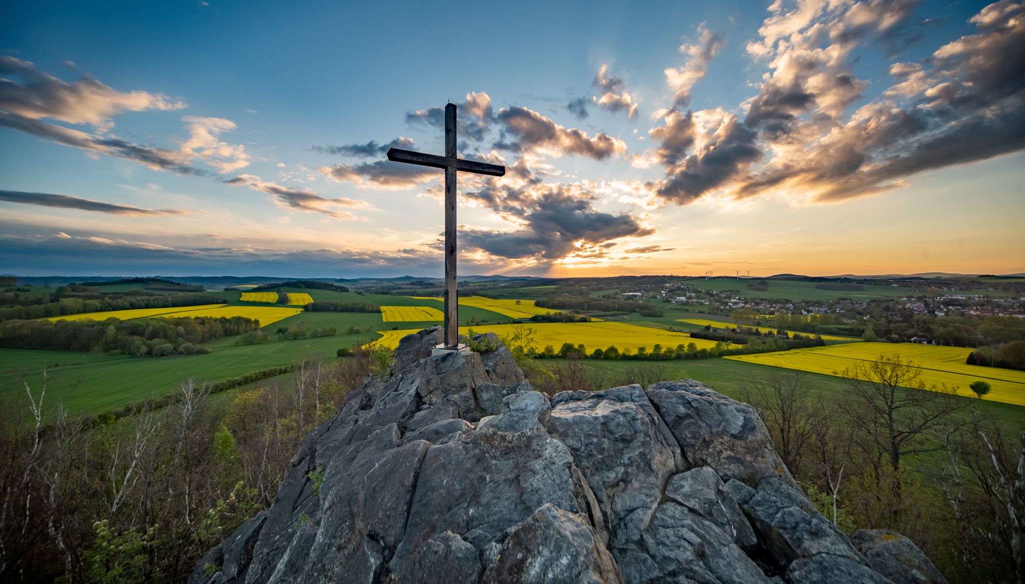
Legendary views on the Upper Lusatia Mountain Trail
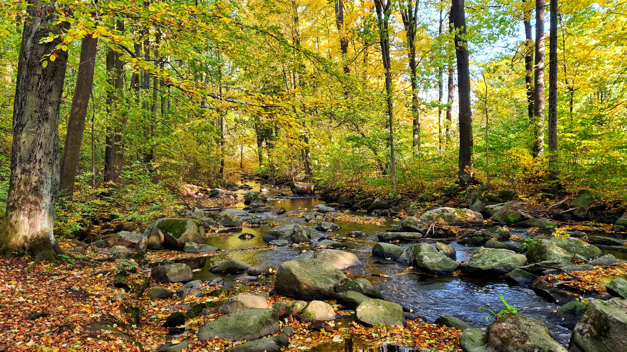
Along Germany’s River Spree from mouth to source
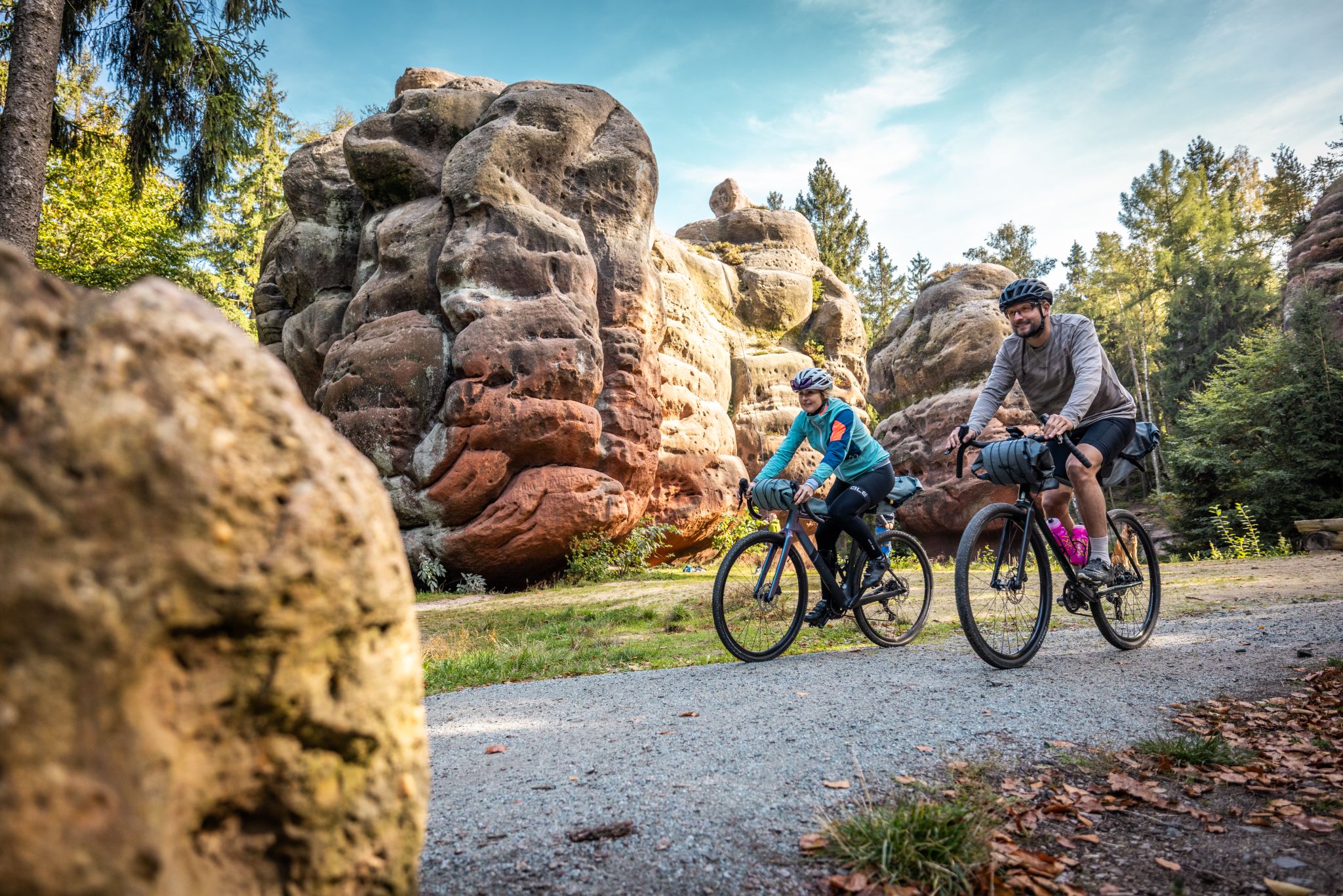
RockHead – Craft Your Gravel Story
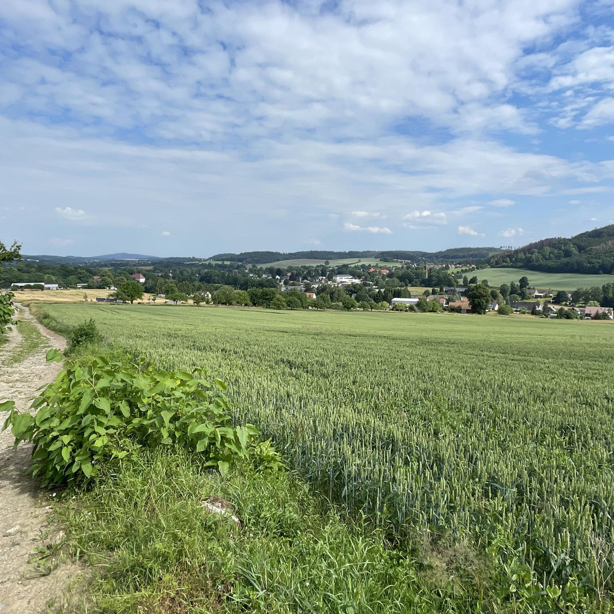
Hiking around Sohland an der Spree
Cycling around Sohland an der Spree
Road Cycling Routes around Sohland an der Spree
Running Trails around Sohland an der Spree
MTB Trails around Sohland an der Spree

Gravel biking around Sohland an der Spree
Other adventures around Sohland an der Spree


Tips from the Community

The rock lies to the right of the path in the Weißbach valley, shortly before it flows into the Kirnitzsch. The area marks the border between Saxony and Bohemia (Czech Republic). Directly above the hiking trail, the rock has a small hollow. Due to its geological location near the Lusatian Overthrust, the sandstone here is partly deformed into gravel.
1
0

Cave below the Benedictine Stone. The Weißbachweg trail with yellow hiking trail markers leads directly past.
0
0

Accessible premises of the tunnel in Jirikov were thoroughly documented in the publication Podzemi Sluknovska a Luzickych hor - see Books from the Museum Fund. The tunnel itself is interrupted by a demolition at meter 64 (photo 4). The tunnel is said to be up to 140 meters long. The tunnel was created at the end of World War II, but its purpose and use are currently unknown - probably everything is related to war production.
0
0

The traditional mining association Hohwald has put something together here: information boards about the tunnel and the history, benches, a rest area, a guest book! Great. The way to get there has to be found first.
2
0
Very nice insight into the history of mining at Valtenberg.
2
0
The boulders partly form caves, the terrifying Pan Dietrich is said to be up to mischief here at night. On the right-hand side of the path between Mönchswalde and Wilthen is a mountain covered with coniferous wood, which is called Pan-Dietrich. That is what he is called after a wild robber baron who plied his trade there in the times of the law of the fist, oppressed the area from his castle, indulged in highway robbery on weekdays and hunted on Sundays and public holidays, cruelly treating the game Death rushed and the farmers' fields were devastated. In life everything went as he wished, but in death God's punishment met him. For he is condemned to eternity to go about as a night hunter in spring and autumn. From his ruined castle, which now consists only of a mass of stones thrown together in a circle, the noisy hunting party rises, circles a few miles, and disappears into the mountain at dawn. St. Bonifacius, who often in vain warns the knight to give up his wild life, strides ahead of the procession. But death rides behind, a skeleton of legs on a great owl. Its appearance is said to announce war, plague, death, undergrowth or other misfortunes.
0
0
Körse castle ruins from the 13th century
0
0

The Kuxloch is a 12 m long mining tunnel from around 1600.
0
0
Frequently Asked Questions
What kind of "caves" can I expect to find around Sohland an der Spree?
The region around Sohland an der Spree features unique rock formations and historical mining tunnels rather than traditional subterranean caves. You'll find impressive boulder fields, natural rock shelters, and remnants of historical mining operations.
Are there any historical mining tunnels or sites to explore?
Yes, Sohland an der Spree has several historical mining tunnels. You can visit the Kuxloch Mining Tunnel, a 12-meter-long tunnel dating back to around 1600. Another significant site is the Mouth of the Historical Drainage Tunnel (Erbstolln) at Valtenberg, which offers insights into the area's mining history with information boards and a rest area.
What are some unique natural rock formations in the area?
The Boulder field on Angstberg is a notable natural monument featuring large blocks of stone that form cave-like spaces, crevices, and small grottoes. The Kälbersteine, while not listed as a highlight in the guide, are also a prominent natural monument with unique granite formations, including a natural viewing platform and weathering hollows.
Are the cave sites around Sohland an der Spree suitable for families?
Many of the rock formations and historical sites are accessible via well-marked hiking trails, making them suitable for families who enjoy walking. The Kälbersteine, for example, are part of a moderate circular route and offer interesting features like the sun observatory, which can be engaging for children.
Can I bring my dog to the cave sites and rock formations?
Generally, dogs are welcome on the hiking trails leading to these natural and historical sites. However, it's always advisable to keep them on a leash, especially in nature reserve areas or near historical structures, and to check for any specific local regulations at each site.
What hiking opportunities are there near these cave sites?
The region offers numerous hiking opportunities. For example, a roughly 7 km circular route starting from Sohland leads to the Kälbersteine. You can find more hiking options, including easy hikes, by exploring the Easy hikes around Sohland an der Spree guide on komoot.
What is the best time of year to visit the rock formations and tunnels?
The spring and autumn months are ideal for visiting, as the weather is pleasant for hiking and exploring the outdoor sites. The Kälbersteine also hold special significance during the solstices and equinoxes due to their ancient sun observatory features. While accessible in winter, some paths might be slippery or covered in snow.
What should I bring when visiting these sites?
When visiting, it's recommended to wear sturdy hiking shoes, bring water, and pack appropriate clothing for the weather. A flashlight might be useful if you plan to explore the shorter mining tunnels like the Kuxloch. For the Kälbersteine, information boards provide details on the granite formations and their historical use.
Are there any less-known or "hidden gem" spots worth visiting?
Beyond the more prominent sites, the Entrance to the Earth Tunnel (Erdhollin) offers a more challenging and secluded exploration for those interested in old drainage tunnels. Another intriguing site is the Jiříkov Mine Tunnel, whose purpose and use from the end of World War II remain largely unknown.
What geological features are prominent in the Sohland an der Spree region?
The region is characterized by the Upper Lusatian Highlands, with prominent geological features primarily composed of Lusatian granodiorite (granite). This results in unique rock formations, boulder fields, and weathering hollows, as seen at sites like the Kälbersteine and the Blockmeer am Angstberg.
Are there any facilities like cafes or rest areas near the cave sites?
Some sites, like the Mouth of the Historical Drainage Tunnel (Erbstolln) at Valtenberg, offer rest areas and benches. While direct cafes might not be at every site, the nearby towns and villages, including Sohland an der Spree, provide options for refreshments before or after your exploration.
What other outdoor activities can I do in the Sohland an der Spree area?
Besides exploring the rock formations and tunnels, the area is excellent for various outdoor activities. You can find numerous cycling routes, including sections of the Spree Cycle Path, and running trails. Explore guides like Cycling around Sohland an der Spree and Running Trails around Sohland an der Spree for more options.
Most popular routes around Sohland an der Spree
Most popular attractions around Sohland an der Spree

Get inspired with the komoot mobile app


Explore more
Extend your search for the best caves by checking out these guides of the top ones around Sohland an der Spree:
