The 4 Most Amazing Peaks around Laubenheim
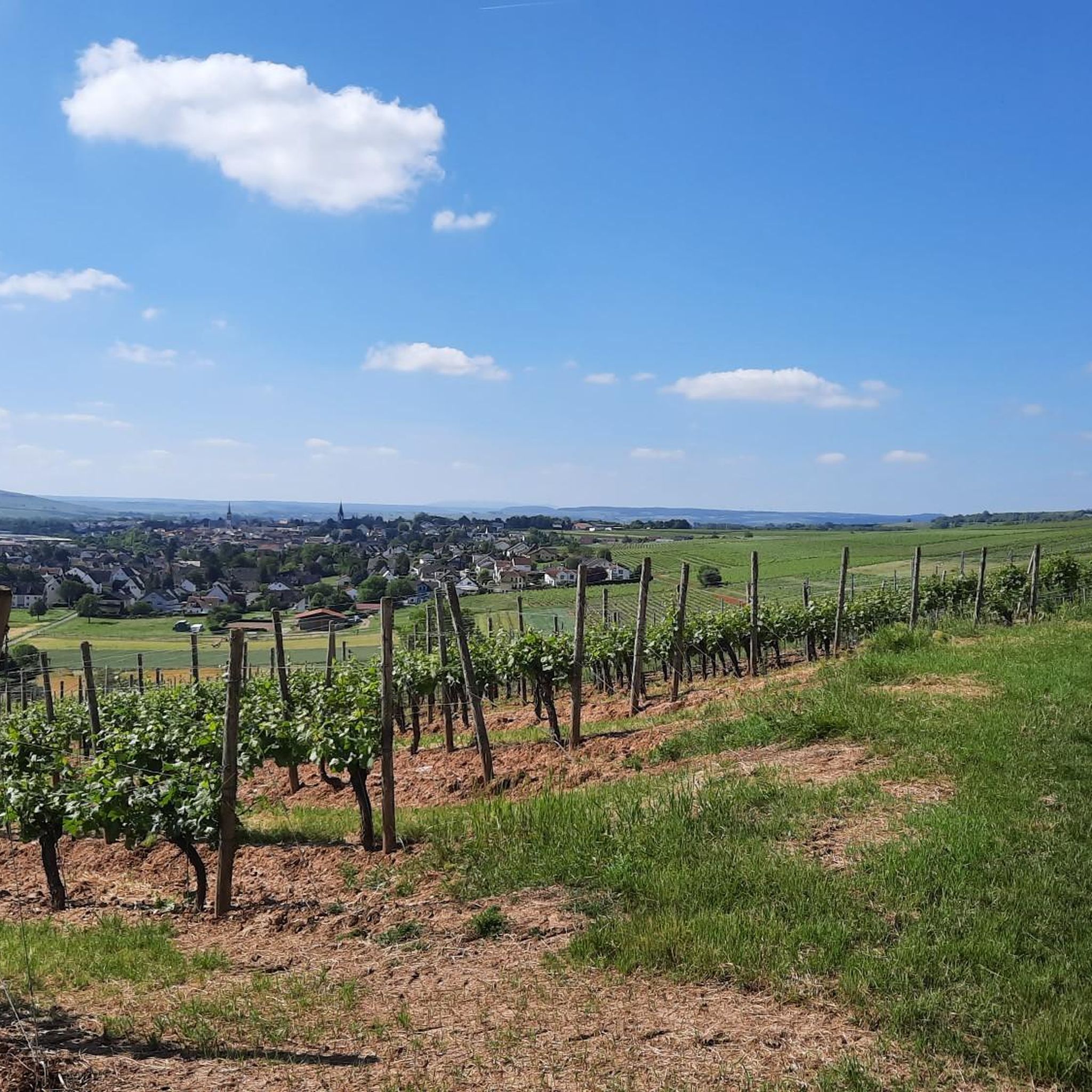
Mountain peaks around Laubenheim are characterized by rolling hills and extensive vineyards, forming part of the Rheinhessen plateau. The region is known for its viticulture and scenic views rather than towering mountains. The most prominent elevation is the Laubenheimer Höhe, which reaches an elevation of 196 to 197 meters. This area provides panoramic views of the Rhine valley and surrounding landscapes, making it a notable point for outdoor activities.
Best mountain peaks around Laubenheim
- The most popular mountain peaks is…
Last updated: August 20, 2026
View of the Rhine and Bingen from the Prinzenkopf
Highlight • Viewpoint
Translated by Google •
Tip by

Zotzenheimer Horn Viewpoint
Highlight • Viewpoint
Translated by Google •
Tip by

Sign up now to discover places like this
Get recommendations on the best single tracks, peaks, & plenty of other exciting outdoor places.
Sign up for free
Bacharacher Kopf
Highlight • Summit
Translated by Google •
Tip by

View over Guldental from the hilltop cross
Highlight • Viewpoint
Translated by Google •
Tip by

Pladerberg
Highlight • Viewpoint
Translated by Google •
Tip by

Sign up for free to discover even more peaks around Laubenheim.
Sign up for free
Already have an account?
Start today with a free account
Your next adventure awaits.
Login or Signup
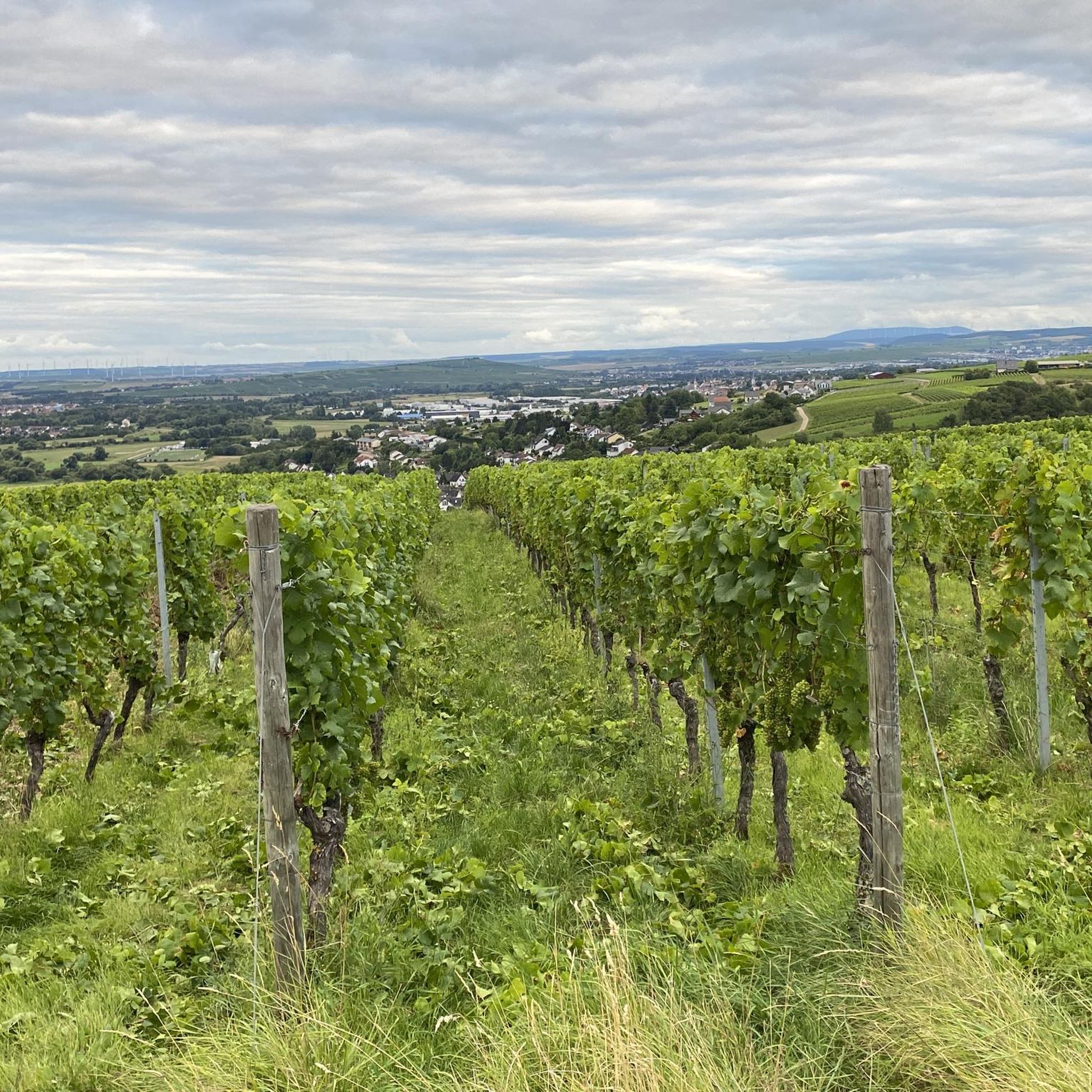
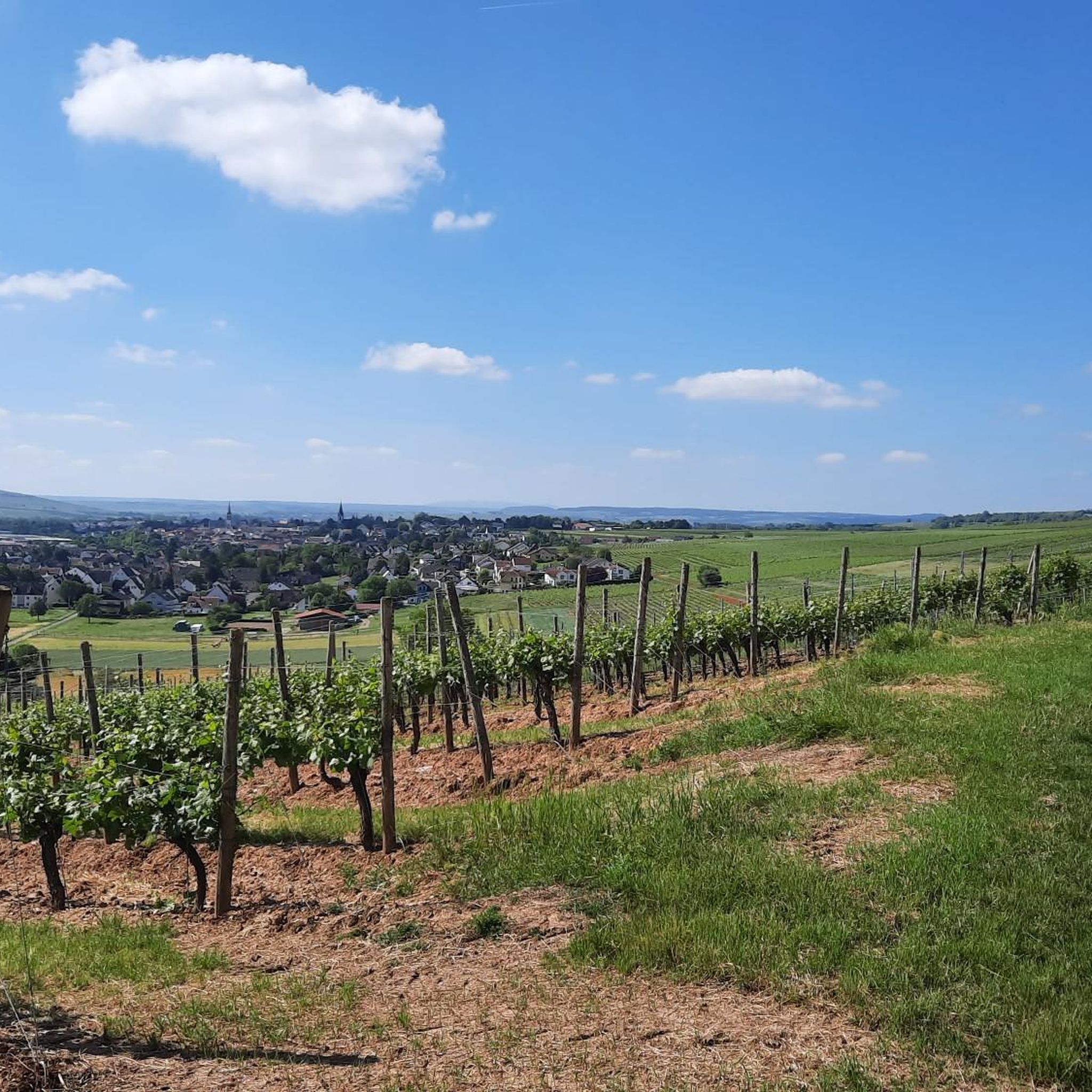
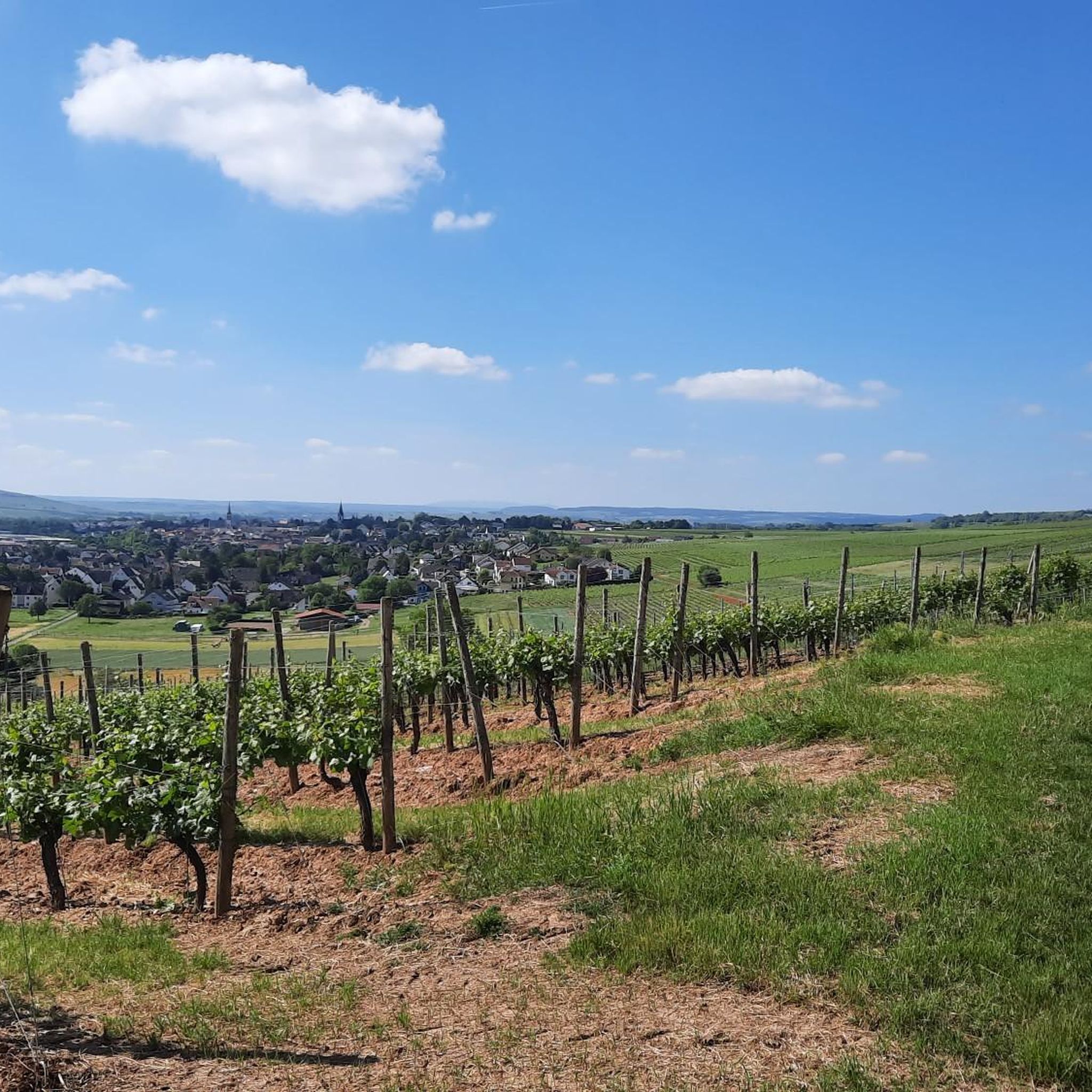
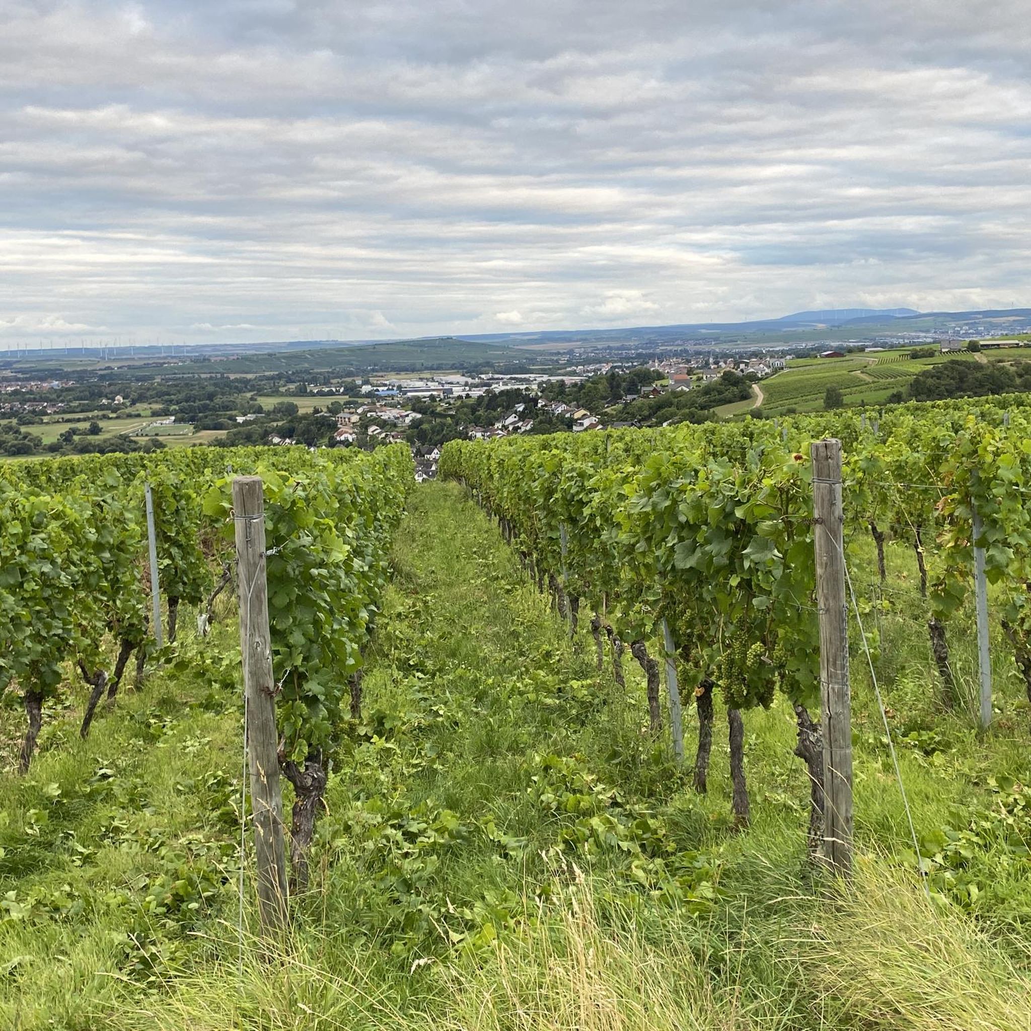

Tips from the Community

Nice view from above and there is also a bench to rest on ;-)
1
0

Cross on a slope with a beautiful view of Guldental
0
0

Panorama and free binoculars Lots of space, little shade
1
0

A small highlight because of the really beautiful view, with a nice alternatively constructed bench. The cross looks like a summit cross.
0
0
Rest and viewing point. With seating. Easily accessible by bike or on foot. Located in the middle of the wine-growing region.
0
0

A great place for a break with a fantastic view
1
0

Bacharacher Kopf is a peak in Rüdesheim am Rhein, Rheingau and has a terrain elevation of 336 meters. Bacharacher Kopf is located near Hinterkirch.
0
0
Just beautiful - sufficient rest areas and a fantastic view
1
0
Frequently Asked Questions
What are the most prominent hills or 'peaks' to visit around Laubenheim?
The most prominent elevation in the immediate vicinity is the Laubenheimer Höhe, reaching 196 to 197 meters. It offers expansive views of the Rhine valley and surrounding vineyards. Other notable spots include the Zotzenheimer Horn Viewpoint, known for its panorama and free binoculars, and the Bacharacher Kopf, a forested summit northeast of Assmannshausen.
Are there family-friendly hiking options among the peaks near Laubenheim?
Yes, several spots are suitable for families. The Zotzenheimer Horn Viewpoint is considered family-friendly with sufficient rest areas. Another great option is the View over Guldental from the hilltop cross, which offers a wonderful view and is an ideal spot for a break.
What kind of views can I expect from the mountain peaks around Laubenheim?
From prominent points like the Laubenheimer Höhe, you can enjoy panoramic views of the Rhine valley, the extensive vineyards of the Rheinhessen plateau, and on clear days, even distant low mountain ranges such as the Rheingau, Hochtaunus, Frankfurt skyline, and the Odenwald. The Zotzenheimer Horn Viewpoint and the View over Guldental from the hilltop cross also offer fantastic vistas.
What outdoor activities can I do near these mountain peaks?
The region around Laubenheim is excellent for various outdoor activities. You can explore numerous hiking trails, including sections of the 'Small Mainz High Path' (Kleiner Mainzer Höhenweg) and the Rhein-Nahe-Höhenweg. For more specific routes, consider the hiking guide for Laubenheim. Cycling is also popular, with routes like the 'View of Rheingrafenstein Castle – Bridge Houses in Bad Kreuznach loop' available in the cycling guide. There are also running trails for those who enjoy jogging.
Are there any challenging trails for experienced hikers among the peaks?
While the region is known for rolling hills, some trails offer more challenge. For instance, the ascent to Pladerberg involves a steep climb of 50 meters in altitude over approximately 170 meters of path. The Bacharacher Kopf is also categorized as an intermediate summit.
What is the best time of year to visit the peaks around Laubenheim?
The region benefits from a favorable climate and abundant sunshine, making it pleasant for visits during many seasons. Spring and autumn are particularly beautiful, with blooming vineyards or vibrant fall colors. The panoramic views are best enjoyed on clear days, which can occur year-round.
What natural features are prominent in the Laubenheim peak region?
The landscape is dominated by rolling hills and extensive vineyards, characteristic of the Rheinhessen plateau. You'll find forested areas, especially around summits like Bacharacher Kopf and Schlägleberg. The region is also known for its natural monuments and viewpoints offering scenic vistas.
What do visitors enjoy most about the mountain peaks around Laubenheim?
Visitors frequently praise the fantastic panoramic views, especially from spots like the Zotzenheimer Horn Viewpoint and the View over Guldental from the hilltop cross. The peaceful atmosphere, the opportunity for breaks at scenic spots, and the well-maintained hiking paths through vineyards and forests are also highly appreciated.
Are there any specific viewpoints or landmarks to look out for?
Absolutely. The Erich-Koch reading bench on Laubenheimer Höhe offers a specific viewpoint over the flood protection polder. The Zotzenheimer Horn Viewpoint provides free binoculars for an enhanced experience. Additionally, the hilltop cross overlooking Guldental is a notable landmark and a great resting spot.
Can I combine a visit to the peaks with wine tasting or local culture?
Yes, the slopes of Laubenheimer Höhe are integral to the region's winegrowing industry. Hiking through these vineyards offers insight into the local culture and economy, making it easy to combine outdoor activity with experiencing the renowned wine culture of the Rheinhessen region.
Is the <a href="https://www.komoot.com/highlight/4055785" target="_blank" rel="noopener">Schlägleberg</a> worth visiting?
The Schlägleberg, at 432 meters, features interesting rock areas. However, the summit itself is not particularly attractive and offers no special prospects, as it's mostly forested. It's generally circled on paths rather than offering a direct summit experience.
Most popular routes around Laubenheim
Most popular attractions around Laubenheim

Get inspired with the komoot mobile app


Explore more
See even more amazing summits around Laubenheim with these guides:
