The 4 Most Amazing Peaks around Niederfüllbach
Best mountain peaks around Niederfüllbach are characterized by a hilly landscape within the Coburger Land district of Bavaria, Germany. The area features elevated points that offer scenic views and are popular for hiking and outdoor activities. While not traditional prominent mountain peaks, these locations provide diverse terrain for exploration. The average elevation of Niederfüllbach is 311 meters, with the highest points reaching approximately 386 meters above sea level.
Best mountain peaks around Niederfüllbach
- The most popular mountain peaks is Hohe…
Last updated: June 26, 2026
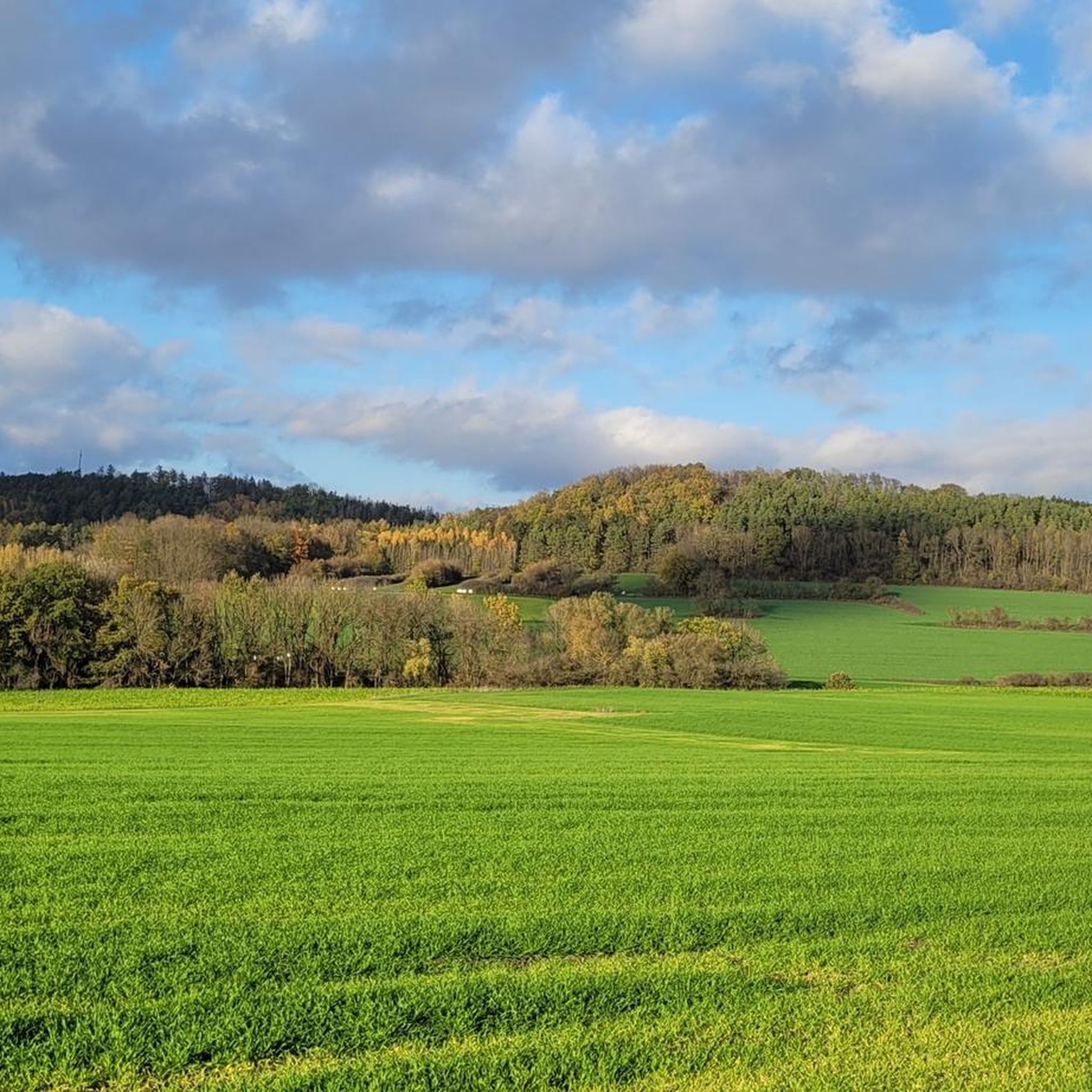
Hohe Asslitz Summit
Highlight • Summit
Translated by Google •
Tip by

Kulch Summit and Ring Wall (483 m)
Highlight • Summit
Translated by Google •
Tip by
Sign up now to discover places like this
Get recommendations on the best single tracks, peaks, & plenty of other exciting outdoor places.
Sign up for free
Buchberg
Highlight • Summit
From …
Translated by Google •
Tip by

Taufstein Peter Christian Kent, Watzendorf
Highlight • Monument
Translated by Google •
Tip by

Path to the Summit of Deutersberg
Highlight • Trail
Translated by Google •
Tip by
Start today with a free account
Your next adventure awaits.
Login or Signup
Tips from the Community

Always a beautiful destination! With information board, bench and table, summit cross and summit book. Only the view is slowly getting darker.
4
1

The view of the Main Valley and the Staffelberg has now become overgrown again.
2
0

Small hill with a summit cross and a little book to immortalize.
4
1
With a lot of imagination you can imagine the system at that time.
3
0

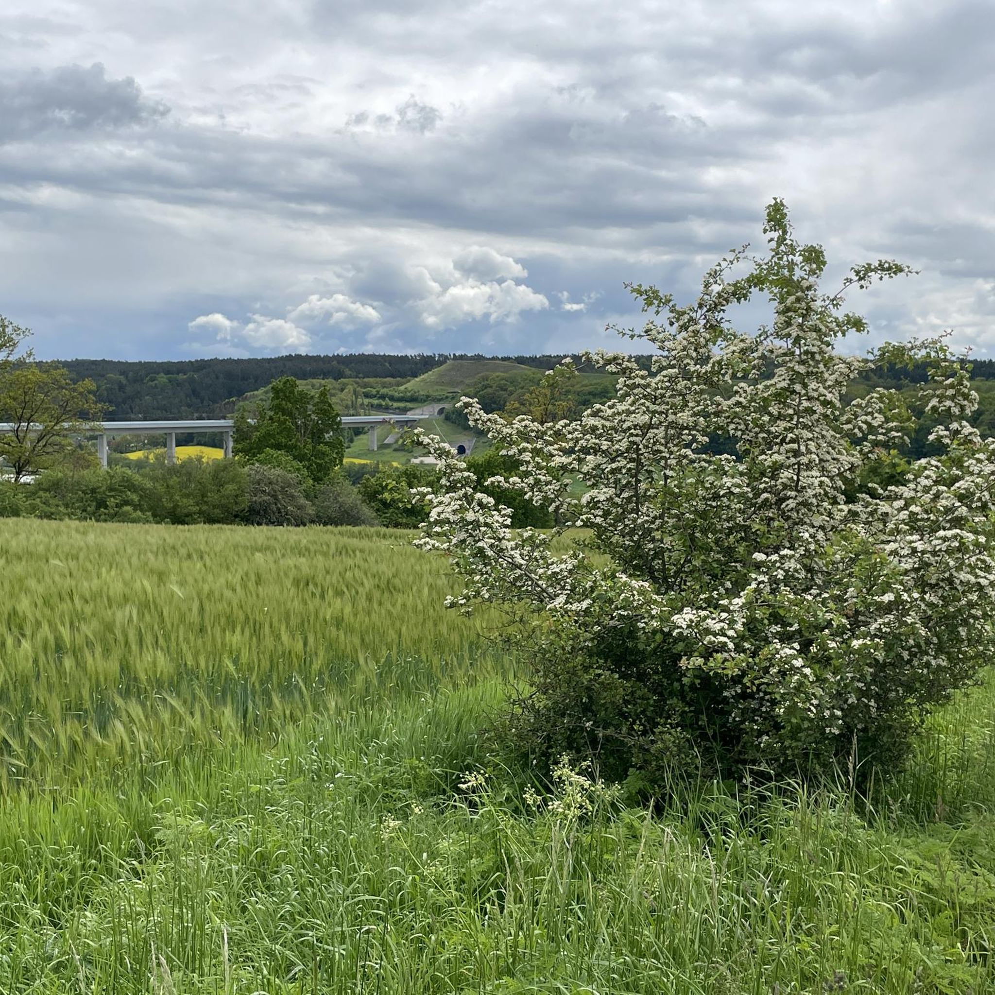
The Hohe Asslitz is a sandy hill in the middle of a large forest area between the Coburg region and the Obermain valley. From its 378 meters high there is a clear view again today. Reason enough that the HINTERINDIEN.DE tour, which originally immigrated in March 2011, has been updated again in 2021. Because this mountain, which remained in a deep slumber for years, has now been "awakened" again. It forms the center of a pleasantly quiet local recreation area. And because the forests on the summit of the Hohe Asslitz have now been thinned out a bit, since 2016 you can finally enjoy the views of the Obermaintal, the Staffelberg, the Veste Coburg and even the Blessberg in the Thuringian Forest. (Source: https://www.hinterindien.de)
4
0

Wonderful paths - always new perspectives and views 🌤️🌾🌱🍃
0
0

If you imagine those dimensions up there, it must have been a larger facility. One can still guess parts of this complex.
0
0

The Hohe Asslitz is a hill in the middle of a large forest area between the Coburg Land and the Obermaintal. Unfortunately (as of July 2021) there is hardly a view from its 378 meters height. The trees have grown too high in the meantime. A free cutting would be urgently needed. I could only look through a small aisle to the Staffelberg.
8
0
Frequently Asked Questions
What kind of elevated points or 'mountain peaks' can I expect around Niederfüllbach?
Niederfüllbach is characterized by a charming, undulating landscape with elevated points rather than traditional prominent mountain peaks. These hills offer scenic views and are popular for hiking. The highest points reach approximately 386 to 483 meters above sea level, providing diverse terrain for outdoor activities.
Which elevated points offer the best views in the Niederfüllbach area?
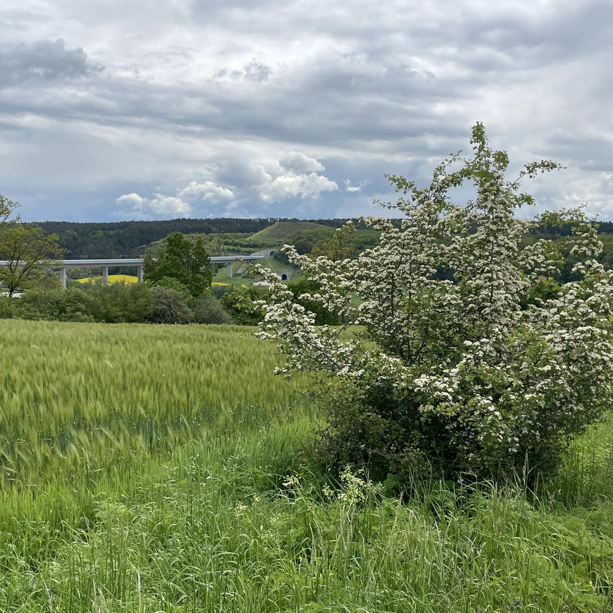
For panoramic views, consider visiting the Hohe Asslitz Summit, which at 378 meters offers clear views of the Obermaintal, Staffelberg, Veste Coburg, and even the Blessberg in the Thuringian Forest. The Buchberg also features a bench about halfway along its forest path, providing views of the fields. Additionally, the ICE Aussichtshügel offers picturesque views of the Füllbachtalbrücke.
Are there any historical sites among the elevated points near Niederfüllbach?
Yes, the Kulch Summit and Ring Wall (483 m) is a notable historical site. This wooded hilltop is part of an iron mountain limestone landscape and features elements of a historical ring wall, where with imagination, you can envision the scale of past facilities. Another historical highlight is the Taufstein Peter Christian Kent, a 15th-century baptismal font.
What are some popular hiking trails around Niederfüllbach's elevated areas?
The region is well-suited for various hiking tours, ranging from easy walks to more challenging routes with elevation gains up to 300 meters. Trails often lead to beautiful viewpoints and through the extensive Lichtenfelser Forst. For more detailed routes, you can explore the various hiking options available in the area.
Are there family-friendly options for exploring the elevated points around Niederfüllbach?
Yes, the hilly terrain around Niederfüllbach is generally accessible for various fitness levels, making many paths suitable for families. The Taufstein Peter Christian Kent is specifically categorized as family-friendly. The charming, undulating landscape and well-maintained paths provide enjoyable experiences for all ages.
What is the terrain like on the hiking trails near Niederfüllbach?
The terrain around Niederfüllbach is characterized by a charming, undulating landscape with numerous hills and forested areas. Trails often wind through the Lichtenfelser Forst, offering diverse natural beauty. While not rugged mountain terrain, you can expect elevation gains of up to 300 meters on some routes, providing a good workout amidst scenic surroundings.
When is the best time of year to visit Niederfüllbach for outdoor activities?
The region's hilly and forested landscape is beautiful throughout the year. Spring and autumn offer pleasant temperatures and vibrant colors, ideal for hiking. Summer is also great for outdoor activities, though some paths might be muddy after rain. Winter hiking is possible, but check local conditions.
Where can I find parking for hiking trails around Niederfüllbach?
Visitors often look for 'Wanderparkplatz' (hiking parking) in the area. A known spot is the 'Parkplatz ICE-Hügel Niederfüllbach,' which provides access to the ICE Aussichtshügel and surrounding trails. General parking is usually available near trailheads in the villages.
Are there public transport options to reach hiking areas near Niederfüllbach?
Public transport options, such as bus connections ('Busverbindungen Niederfüllbach Wanderwege' or 'öffentliche Verkehrsmittel Niederfüllbach Coburg Wanderungen'), can help you reach various hiking areas. It's advisable to check local bus schedules for routes connecting Niederfüllbach to nearby trailheads and villages.
What other outdoor activities can I do besides hiking near Niederfüllbach's elevated points?
Beyond hiking, the Niederfüllbach area is excellent for various cycling activities. You can explore numerous routes for cycling, gravel biking, and road cycling, with routes ranging from easy to difficult, taking you through scenic landscapes and past local attractions.
What do visitors enjoy most about the elevated points around Niederfüllbach?
Visitors particularly appreciate the scenic views from various elevated points, the diverse and accessible hiking trails, and the opportunity to experience the natural beauty of the Coburger Land. The komoot community has shown strong engagement, with over 390 upvotes and more than 400 photos shared, highlighting the area's appeal for outdoor enthusiasts.
Can I bring my dog on trails around Niederfüllbach's elevated points?
Many trails in the Niederfüllbach region are dog-friendly, allowing you to enjoy the outdoors with your canine companion. It's generally recommended to keep dogs on a leash, especially in forested areas or near wildlife, and to be mindful of local regulations regarding 'Hundewanderwege' (dog hiking trails) or 'Leinenpflicht' (leash requirements).
Most popular routes around Niederfüllbach
Most popular attractions around Niederfüllbach

Get inspired with the komoot mobile app


Explore more
See even more amazing summits around Niederfüllbach with these guides:
