The 12 Most Amazing Peaks around Friolzheim
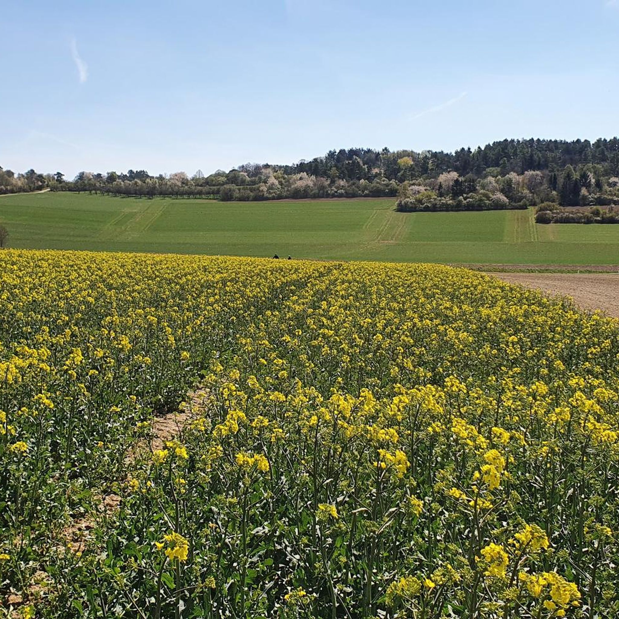
Best mountain peaks around Friolzheim are found within a region characterized by hills rather than towering mountains, situated at the edge of the Black Forest and the Upper Gäu. The area, predominantly the Heckengäu, features karstified and forested muschelkalk hills. Elevated points like the Geißberg, reaching approximately 496 meters, and the Highest Point of Hohenwart, at 544 meters, offer scenic views and opportunities for outdoor activities. The landscape provides a tranquil setting for recreation, with forested hills ideal for hiking…
Last updated: June 26, 2026
Feuerbacher Heide-Dickenberg Nature Reserve
Highlight • Natural Monument
Translated by Google •
Tip by

Highest Point of Hohenwart (544 m)
Highlight • Summit
Translated by Google •
Tip by

Sign up now to discover places like this
Get recommendations on the best single tracks, peaks, & plenty of other exciting outdoor places.
Sign up for free
Geißberg
Highlight • Summit
The Gäurandweg trail also runs through here.
Several marked hiking trails, such as the Schneckenweg (Snail Trail) or Veigelesweg (Veigeles Trail), also pass through here.
Translated by Google •
Tip by

View of the Biet Heights and Heckengäu
Highlight • Viewpoint
Translated by Google •
Tip by

Kaltenberg Summit
Highlight • Summit
The bushes and trees have grown quite high, so that there is only a small viewing window :-(
Translated by Google •
Tip by

Sign up for free to discover even more peaks around Friolzheim.
Sign up for free
Already have an account?
Start today with a free account
Your next adventure awaits.
Login or Signup

Tips from the Community

Rubble hill artificially created from debris of World War II
0
0

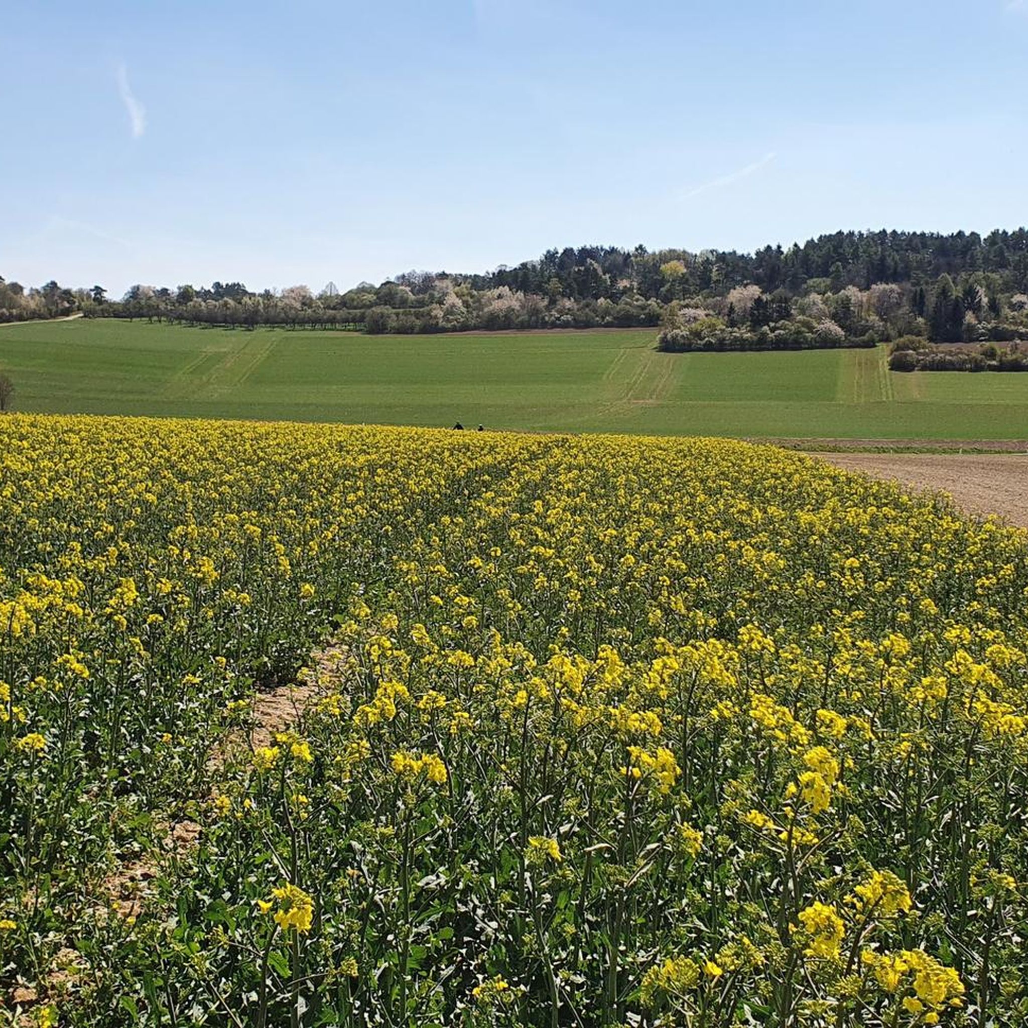
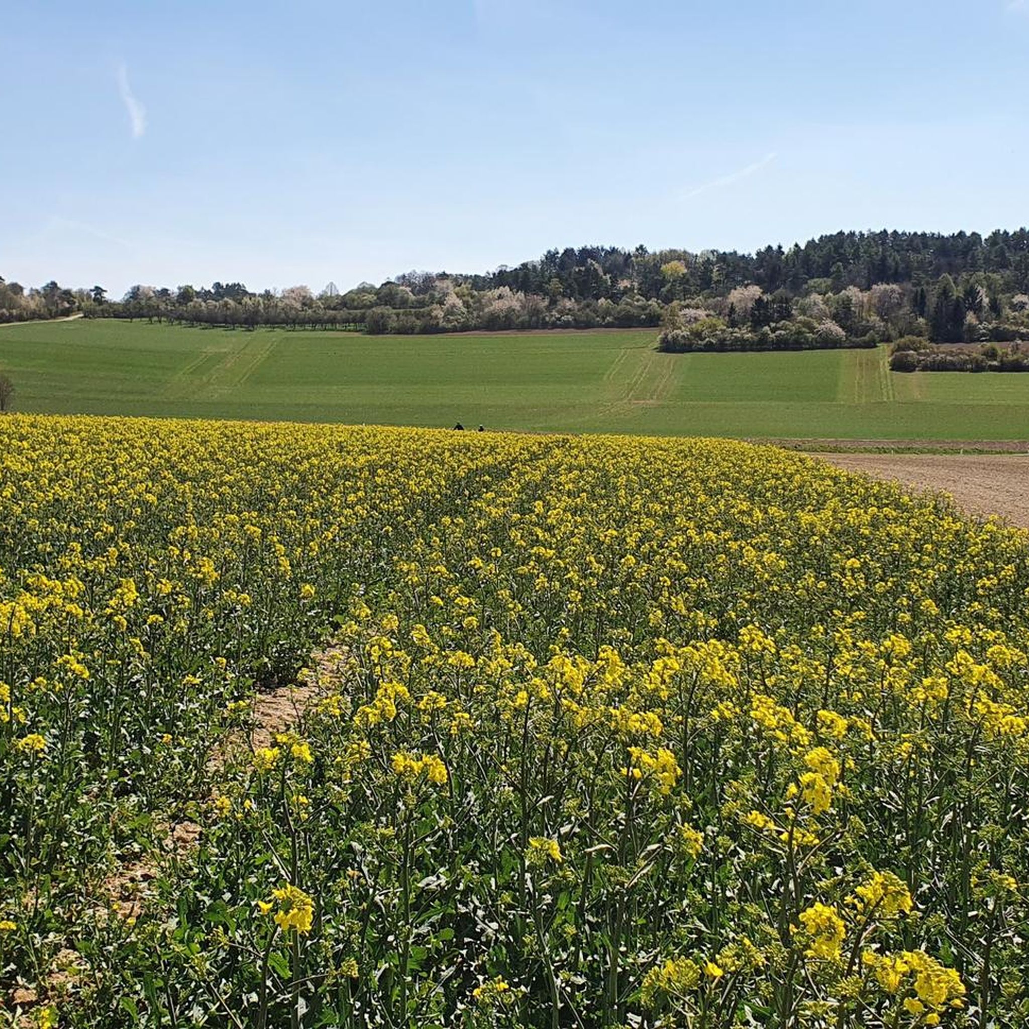
Magnificent panoramic views over the landscape and towns on both sides of the Würm valley. To the west, the view extends to the northern Black Forest and the Nagold valley.
4
0

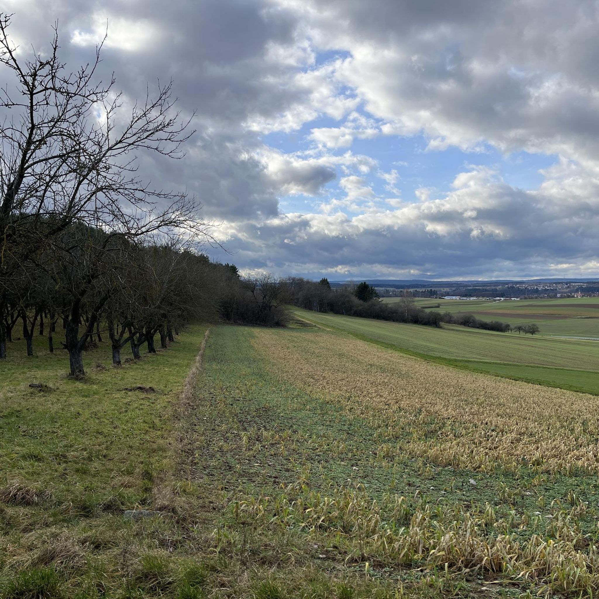
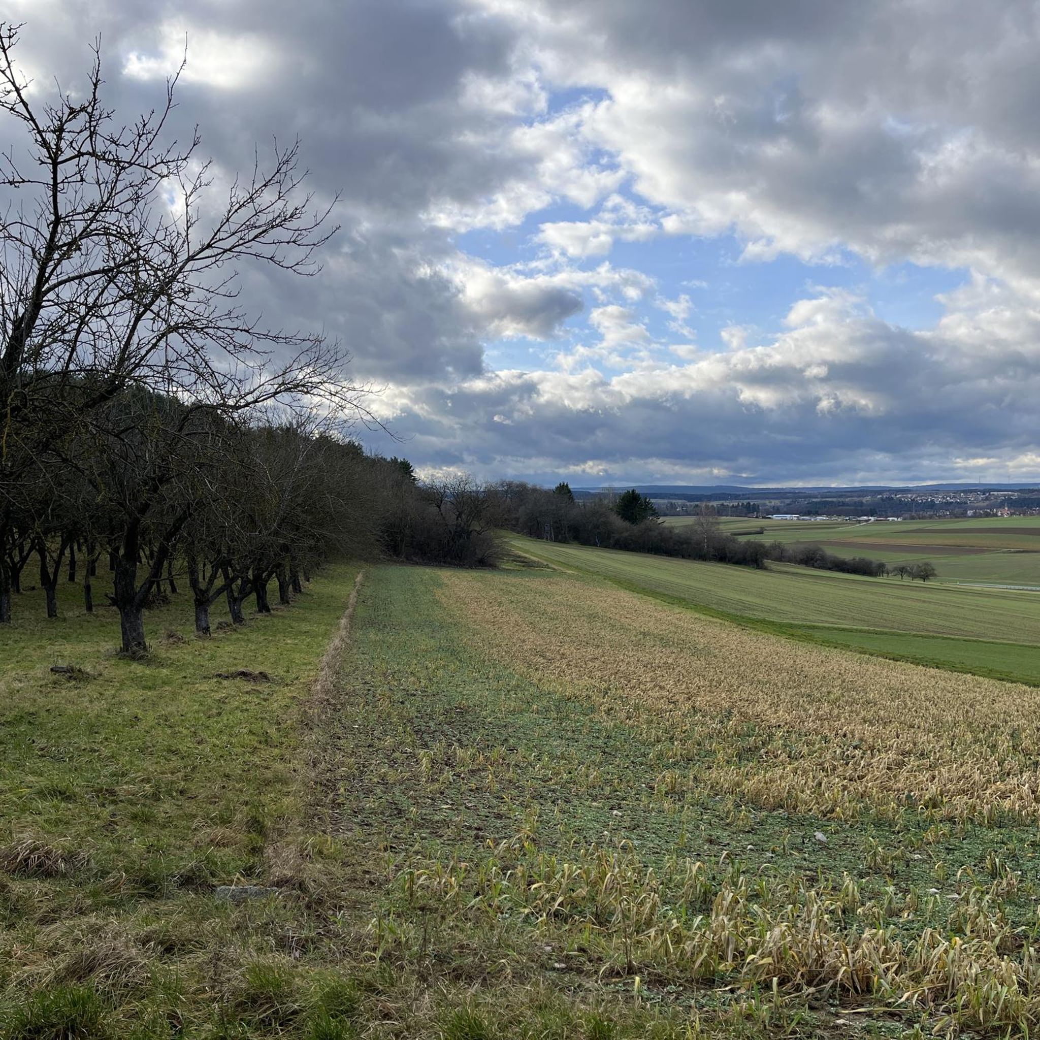
A beautiful nature reserve for hikers and cyclists. The Gäurandweg trail also runs through here. Several marked hiking trails, such as the Schneckenweg (Snail Trail) or Veigelesweg (Veigeles Trail), also pass through here.
9
0

Hörnle and Geißberg is a nature reserve designated by decree of the Karlsruhe Regional Council on December 30, 1993, with the number 2.176, and a landscape conservation area of the same name with the number 2.35.051. Source: https://de.wikipedia.org/wiki/H%C3%B6rnle_und_Gei%C3%9Fberg To reduce the whole thing to one point is...
0
0

It's simply wonderful here, from Weissach to Malmsheim there are always such wonderful plateaus
5
2

The small elevation is no longer relevant as a viewing point due to the tall trees.
2
0

One of the highest points in Hohenwart at 544 meters above sea level.
1
1
The climb to the summit is not worth it, bad paths and absolutely no more visibility
2
2
Frequently Asked Questions
What kind of elevated areas can I explore around Friolzheim?
Friolzheim is situated in the Heckengäu, an area known for its forested hills rather than towering mountains. You can explore elevated points like the Geißberg, which reaches approximately 496 meters, and the Highest Point of Hohenwart (544 m) at 544 meters above sea level. These areas offer scenic views and are ideal for outdoor activities like hiking and cycling.
Are there any notable viewpoints or summits to visit near Friolzheim?
Yes, the Highest Point of Hohenwart (544 m) is a significant summit offering paths towards Hohenwart-Schellbronn or the Nagoldtal. While the Hohe Warte (was dismantled) viewpoint structure is currently closed until late 2025, the area itself is still a recognized elevated point.
What natural reserves can I find around Friolzheim?
The Feuerbacher Heide-Dickenberg Nature Reserve is a significant natural monument near Friolzheim. This 17.8-hectare area preserves a diverse Heckengäu landscape, featuring heathland, species-rich meadows, hedges, and mixed forests. It's a great place to experience the region's ecological value.
What outdoor activities are popular near the elevated areas of Friolzheim?
The forested hills and gentle slopes around Friolzheim are perfect for hiking and cycling. You can find various routes, including those suitable for gravel biking and touring bicycles. For hiking, consider routes like 'Jogis Bänkle – Betzenbuckel Nature Reserve loop from Friolzheim' or 'Path of the Senses Tiefenbronn – Historical boundary stones loop from Tiefenbronn'. Explore more options on the Hiking around Friolzheim guide.
Are there family-friendly options for exploring the elevated areas?
Yes, many of the elevated areas and trails around Friolzheim are suitable for families. The natural setting of the Heckengäu with its gentle slopes and wooded areas provides a tranquil environment for all ages. Highlights like the Hohe Warte (was dismantled) (though currently closed) and the Feuerbacher Heide-Dickenberg Nature Reserve are categorized as family-friendly.
Can I bring my dog on the trails around Friolzheim's elevated points?
Generally, the natural trails and forested areas around Friolzheim are dog-friendly. Always ensure your dog is well-behaved and, if required by local regulations, kept on a leash, especially in nature reserve areas like the Feuerbacher Heide-Dickenberg Nature Reserve, to protect wildlife and other visitors.
What is the highest point in the Friolzheim municipal area?
The highest point within Friolzheim's municipal area is the Geißberg, reaching approximately 496 meters (1,627 feet) above sea level in the north.
Are there any easy hiking trails near Friolzheim's elevated areas?
Yes, there are easy hiking trails available. For instance, the 'Path of the Senses Tiefenbronn – Historical boundary stones loop from Tiefenbronn' is an easy route, approximately 4.9 kilometers long. You can find more options on the Hiking around Friolzheim guide.
What do visitors enjoy most about the elevated areas around Friolzheim?
Visitors appreciate the natural beauty of the Heckengäu landscape, with its tranquil setting, forested hills, and picturesque views. The Feuerbacher Heide-Dickenberg Nature Reserve is particularly loved for its diverse landscape and beautiful juniper areas with some views.
Where can I find places to rest or take a break during my exploration?
You'll find benches and sun loungers in various scenic spots, such as the Bench in Hohenwart, which offers a view towards the Hohe Wart Tower. These are ideal for short breaks amidst the greenery.
What is the best time of year to visit Friolzheim for outdoor activities?
The region's forested hills and natural reserves are enjoyable throughout much of the year. Spring and autumn offer pleasant temperatures and beautiful foliage, while summer is ideal for longer days outdoors. Winter can also be charming for walks, though some paths might be affected by snow or ice.
Are there any challenging mountain hikes near Friolzheim?
While Friolzheim is characterized by hills rather than high mountains, some longer cycling routes can be quite challenging. For example, the 'Würm Valley and the Würm River – Würm Valley loop from Tiefenbronner Seewiesen' is a difficult gravel biking route spanning over 73 kilometers. You can explore more challenging options on the Gravel biking around Friolzheim guide.
Most popular routes around Friolzheim
Most popular attractions around Friolzheim

Get inspired with the komoot mobile app


Explore more
See even more amazing summits around Friolzheim with these guides:
