The 12 Most Amazing Peaks around Dreieich
Best mountain peaks around Dreieich are characterized by the region's relatively flat geography, with an average elevation between 140 and 172 meters above sea level. While not featuring prominent mountain peaks, the area offers various opportunities for outdoor activities, particularly hiking and walking through its surrounding forests and fields. Dreieich is situated on the edge of the Rhine-Main region, providing accessible natural spaces for experiencing the local environment. The region's history includes the former royal hunting forest, Wildbann Dreieich, which…
Last updated: October 13, 2026
Ebertsberg Summit
Highlight • Summit
Translated by Google •
Tip by

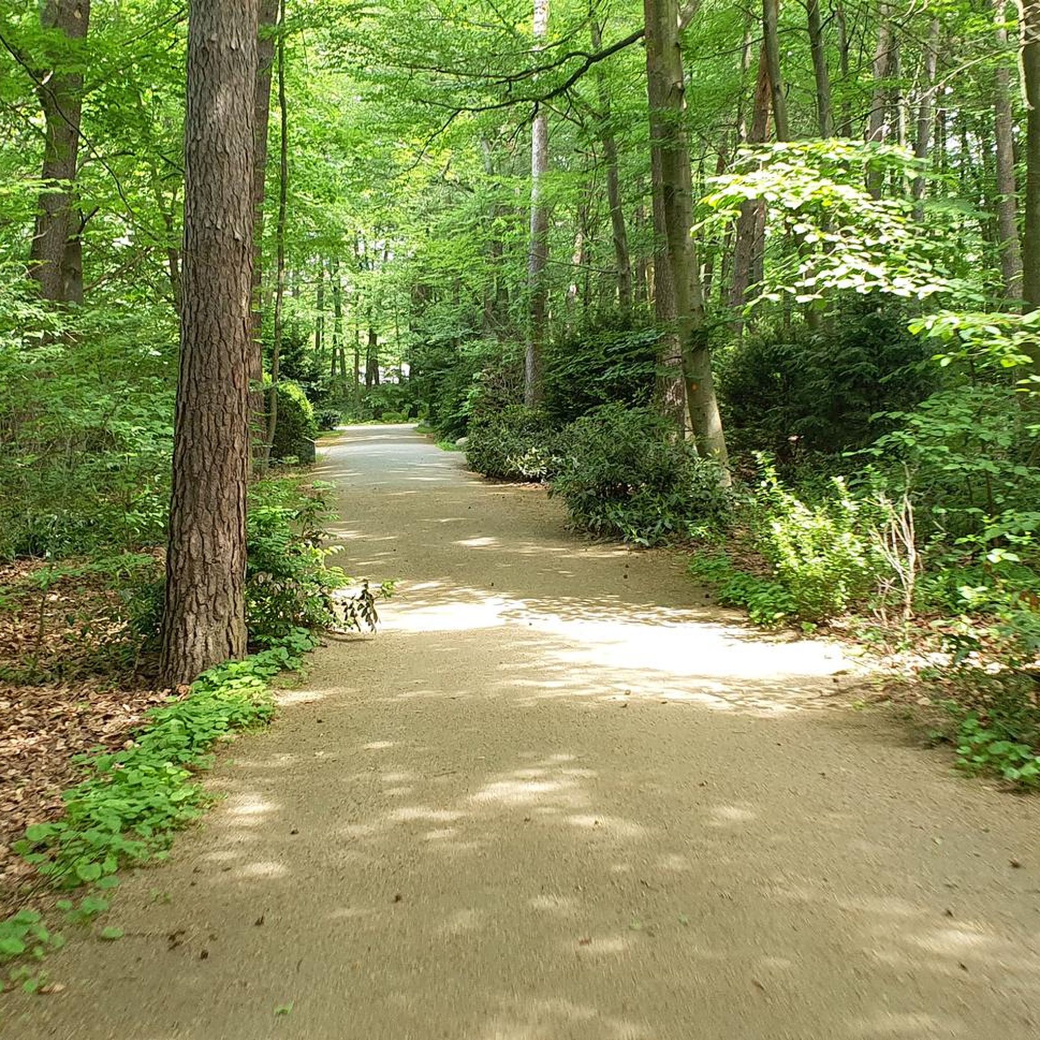
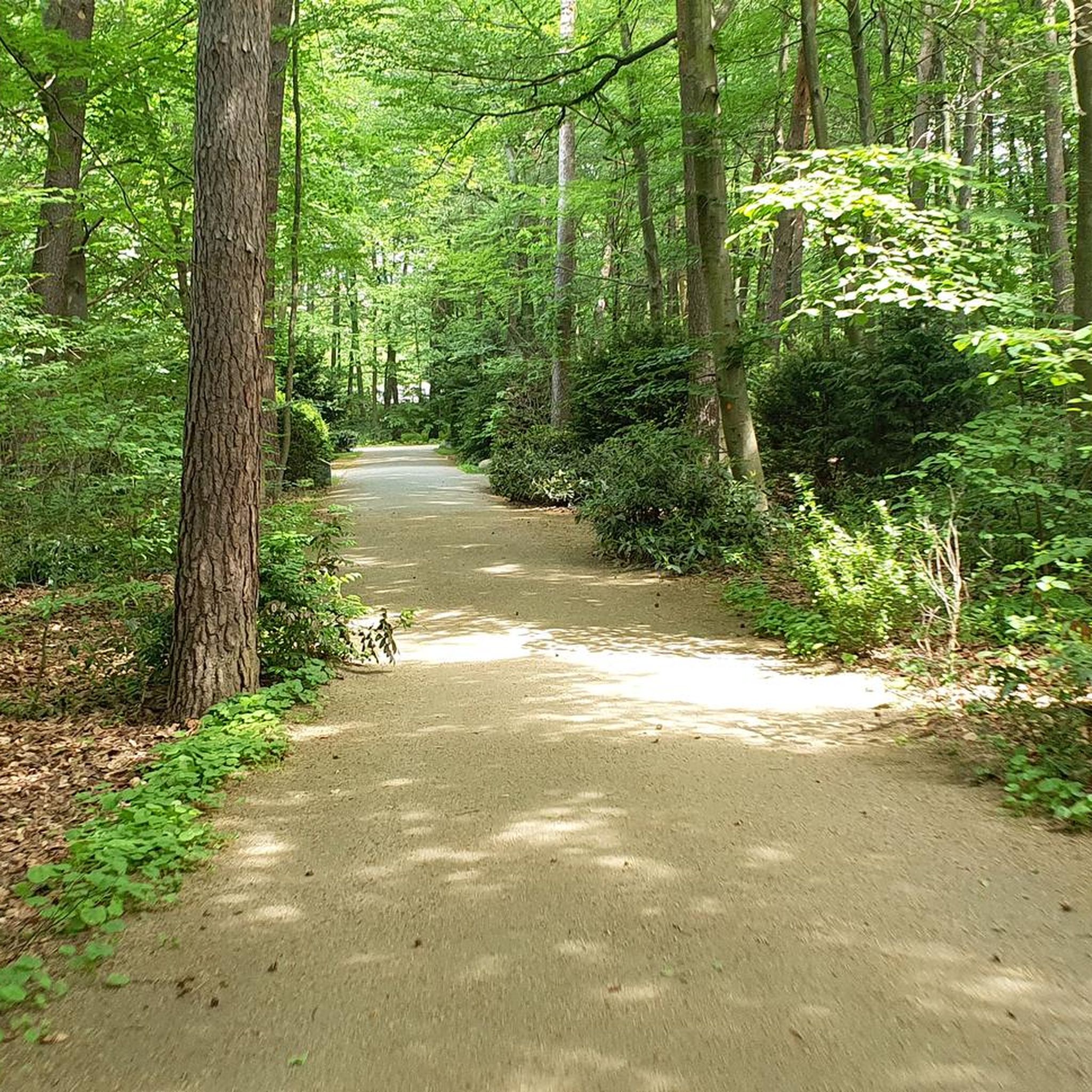
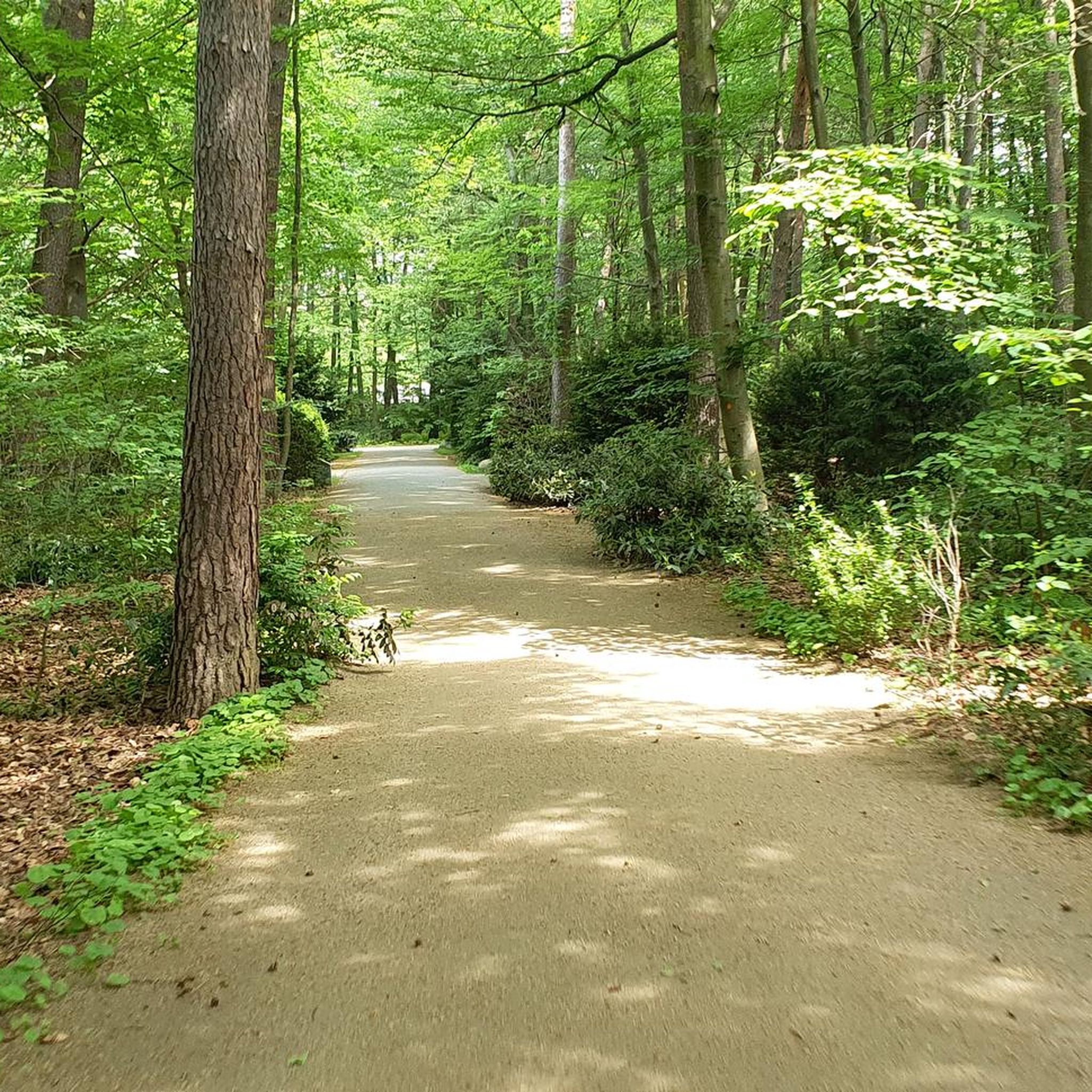
Dietzenbach Ebertsberg Summit Trail
Highlight (Segment) • Summit
The trails are relatively short, especially uphill.
But still great fun.
Translated by Google •
Tip by

Sign up now to discover places like this
Get recommendations on the best single tracks, peaks, & plenty of other exciting outdoor places.
Water Reservoir Hoher Berg (Heusenstamm)
Highlight • Monument
Translated by Google •
Tip by

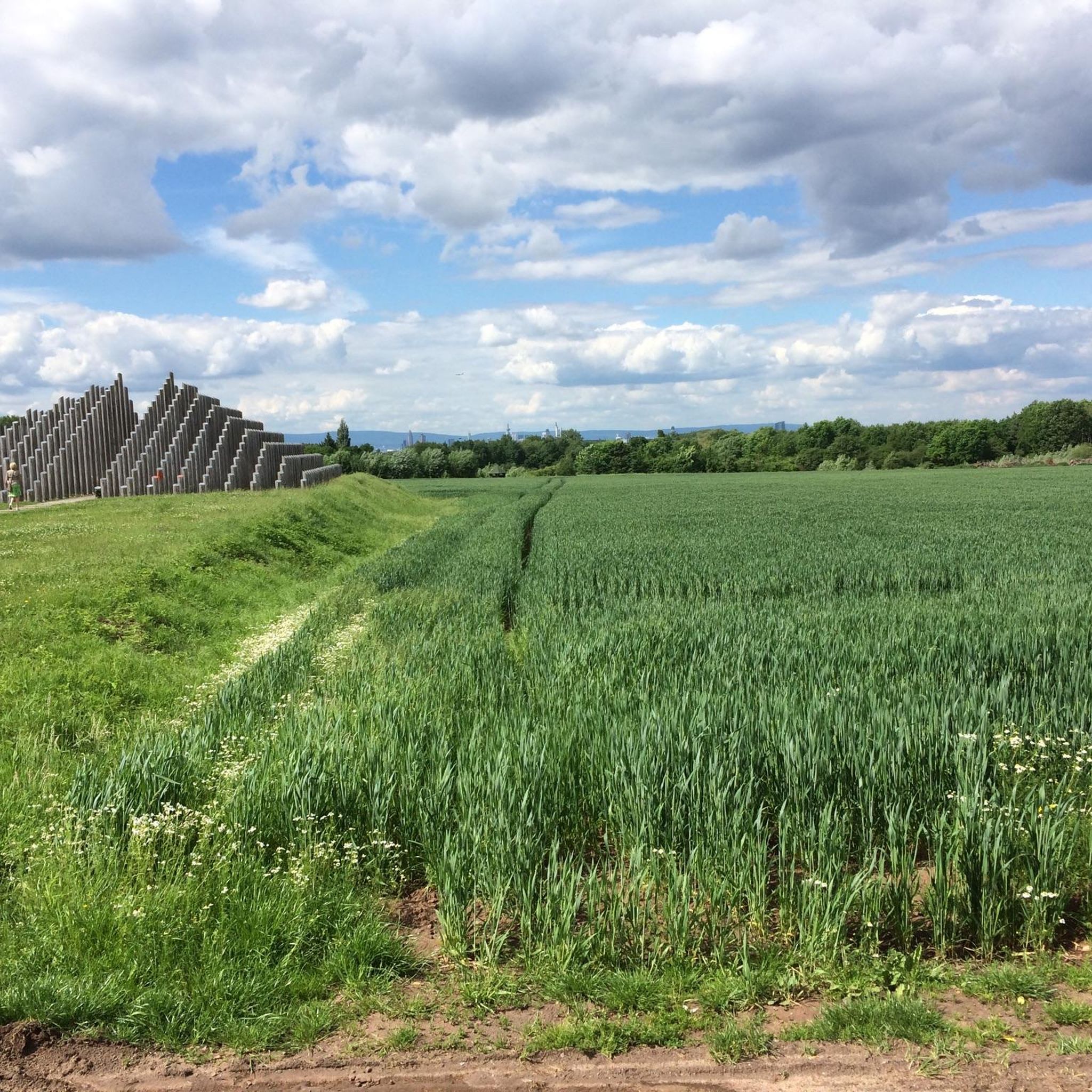
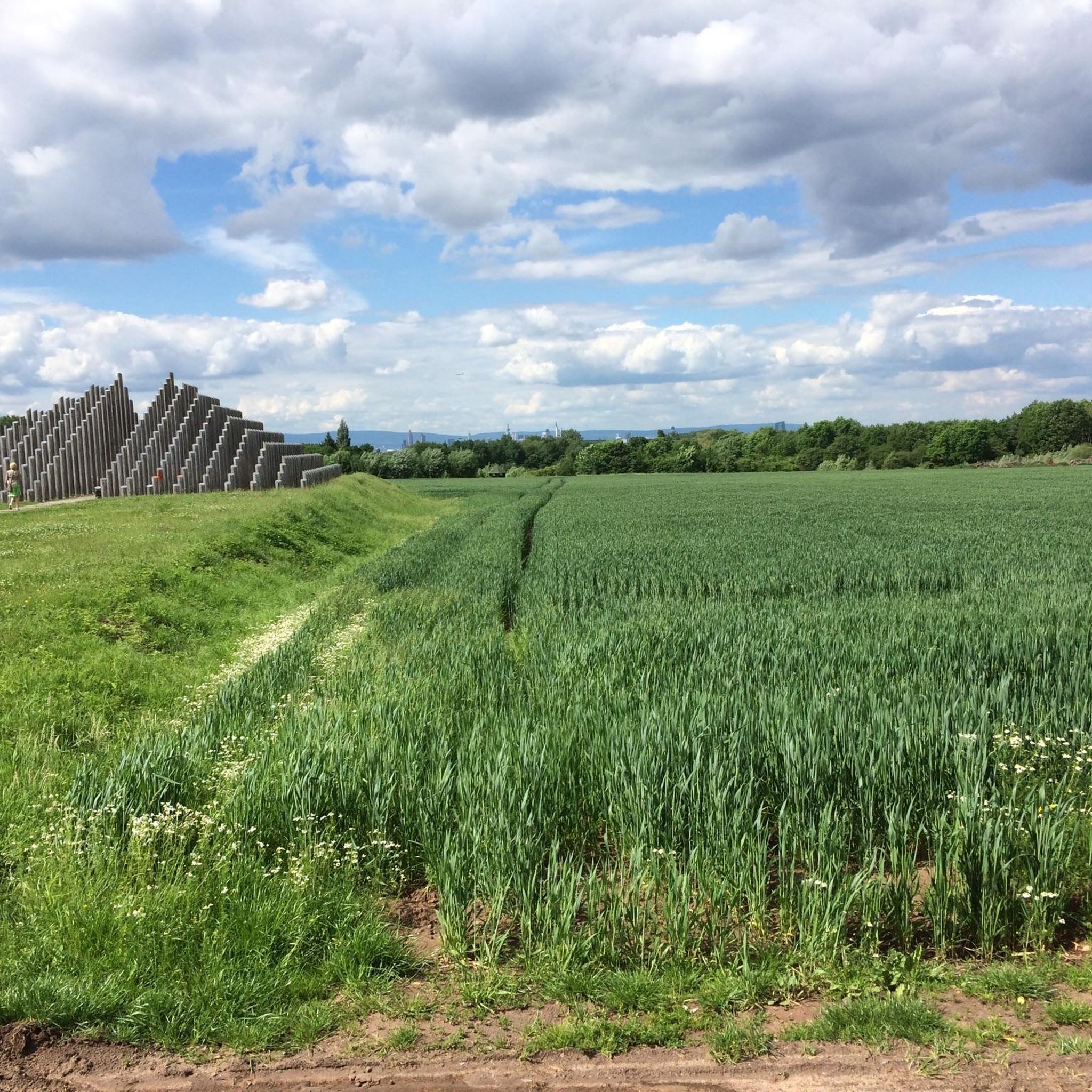
View of the Frankfurt skyline from Oberwaldberg
Highlight • Viewpoint
A wonderful view of the Taunus, Frankfurt's skyline or the Odenwald reward you here
Translated by Google •
Tip by

Schneckenberg (Grix Landfill), Highest Point in Offenbach
Highlight • Summit
Translated by Google •
Tip by

Sign up for free to discover even more peaks around Dreieich.
Already have an account?
Start today with a free account
Your next adventure awaits.
Tips from the Community

The Schneckenberg is the highest elevation in Offenbach. However, it is not a natural "mountain." The highest natural elevation is still the "Bieberer Berg" at approximately 130 meters above sea level.
1
0

a garbage mountain, highest elevation next to the Bieberer Berg
1
0

The summit of the Oberwaldberg offers an impressive panoramic view of the Rhine-Main region: from the Taunus mountains in the north, across the skyline of Frankfurt, to the Odenwald in the south. From the second vantage point, halfway up, there is a good view of the FFH area, the districts of Mörfelden-Walldorf and the airport. The mountain is covered with hawthorn and berry bushes. The prickly thistles and thistles that bloom in summer attract numerous insects. The mountain was created by filling a former gravel pit with material (excavated earth) from the construction of the Frankfurt subway and then using it as a waste disposal site. Mainly household waste, bulky waste, excavated earth and construction rubble were stored there. The landfill was closed in 1991. It was then covered with a surface cover and recultivated. The Oberwaldberg is connected to the regional park route and is partially open to the public for use. The landfill gas is captured and is no longer used to generate electricity (since 2024). The seepage water is also captured and cleaned. If regular monitoring of water and air shows that the biological processes taking place in the landfill have come to a standstill and there is no longer any danger of significant environmental pollution, the mountain can be released from aftercare. The technical facilities will be shut down and dismantled as far as possible. The entire mountain will then be made available to citizens for local recreation.
3
0
The trail can also be ridden with a conventional “biobike”. However, at the summit there is no view for which one would be “rewarded”.
2
0

Small trail paradise on the Ebertsberg. Apparently it's also cherished and cared for. But don't overdo it. Nice practice area. Especially with the eMTB, the uphills are at least as much fun as the small downhills. So with eMTB twice the trail fun.
3
0

Hi. Lt GPS speedometer 23 percent gradient. But only briefly. So pinch your cheeks and up
10
0

Highest point of the Oberwaldberg. The point can be reached on easily accessible paths. Wide distant view of the Taunus, the Odenwald and Frankfurt.
10
1

Frequently Asked Questions
What are the most popular elevated points or viewpoints around Dreieich?
While Dreieich is known for its relatively flat landscape, visitors enjoy several elevated points and viewpoints. Among the most popular is the View of the Frankfurt skyline from Oberwaldberg, which offers expansive distant views of the Taunus, Odenwald, and the Frankfurt skyline. Another highly appreciated spot is Ebertsberg Summit, known for its single trails and being one of the higher elevations in the Offenbach district.
What is the highest elevation in the Dreieich area?
The highest elevation in the Offenbach district, which encompasses Dreieich, is Hexenberg Summit (216 m). It offers a challenging ascent with rewarding views.
Are there family-friendly trails or elevated spots in Dreieich?
Yes, several spots around Dreieich are suitable for families. Both Ebertsberg Summit and Hexenberg Summit (216 m) are noted as family-friendly. Additionally, the region offers the Kinderwaldweg (Children's Forest Trail) near Sprendlingen, designed with discovery stations and playgrounds for children, and the Gehspitzweiher Nature Reserve has an easy loop trail suitable for all fitness levels.
What kind of outdoor activities can I do near these elevated points?
The Dreieich area, despite its flat geography, offers numerous opportunities for outdoor activities. You can enjoy hiking and walking through its surrounding forests and fields. For specific routes, explore the various options in the Hiking around Dreieich guide, or for easier walks, check out Easy hikes around Dreieich. Mountain biking is also popular, especially on the single trails around Ebertsberg Summit.
Are there any historical or geological points of interest among the elevated areas?
Yes, the Water Reservoir Hoher Berg (Heusenstamm) is a notable site. This 159-meter elevation was formerly a trachyte quarry, with its output used for constructing many buildings in the surrounding cities until the twentieth century. Geologically, it was formed about 300 million years ago from volcanic outflow rock.
What is the general difficulty of trails around Dreieich's elevated points?
The trails around Dreieich's elevated points generally range from easy to intermediate. While the region is mostly flat, some ascents, like to Hexenberg Summit (216 m), can be challenging with steep sections. Many forest trails are moderate and suitable for leisurely walks, while others, like those at Ebertsberg Summit, offer more dynamic single trails for mountain biking.
What natural features can I expect to see when exploring the elevated areas?
When exploring the elevated areas around Dreieich, you can expect to encounter rich forest landscapes, open fields, and views of the surrounding Rhine-Main region. The region's history as a royal hunting forest means you'll find a prevalence of oak trees. Viewpoints like the View of the Frankfurt skyline from Oberwaldberg offer panoramic vistas of distant mountain ranges like the Taunus and Odenwald, alongside the urban skyline.
What do visitors enjoy most about the elevated points in Dreieich?
Visitors particularly enjoy the rewarding views after an ascent, such as the wide distant views from Oberwaldberg. The unique character of spots like Ebertsberg Summit, with its fun single trails for mountain bikers, is also highly appreciated. The community has shared hundreds of photos and given many upvotes, highlighting the scenic beauty and enjoyable outdoor experiences.
Are there specific routes for road cycling near Dreieich's elevated areas?
Yes, the region offers various road cycling routes. You can find detailed tours in the Road Cycling Routes around Dreieich guide. These routes often pass through the scenic forests and fields surrounding the town, providing enjoyable rides for different skill levels.
Can I find loop trails around the elevated points in Dreieich?
Yes, there are several loop trails available. For example, the Gehspitzweiher Nature Reserve, located near Dreieich-Buchschlag, offers an easy loop trail. Many hiking and walking routes in the area are designed as loops, allowing you to experience the diverse landscapes without retracing your steps. You can explore options in the Hiking around Dreieich guide.
What is the best time of year to visit Dreieich for outdoor activities?
The Dreieich region is pleasant for outdoor activities throughout much of the year. Spring and autumn are particularly recommended for hiking and walking, as the natural scenery along paths like the Hainer Weg is vibrant. The generally flat trails make them accessible even in milder winter conditions, though specific weather conditions should always be checked.
Most popular routes around Dreieich
Most popular attractions around Dreieich

Get inspired with the komoot mobile app


Explore more
See even more amazing summits around Dreieich with these guides:
