The 12 Most Amazing Peaks around Obertshausen
Mountain peaks near Obertshausen are characterized by gentler, forested hills and elevated areas rather than traditional towering mountains. The region, situated near Frankfurt, Germany, offers various natural spaces for recreation and hiking. While the immediate vicinity features local elevations like Hexenberg, the highest point in the Offenbach district, nearby low mountain ranges such as the Taunus and Odenwald provide more extensive terrain. These areas offer diverse landscapes, from dense forests to unique geological formations, suitable for outdoor activities.
Best mountain…
Last updated: June 26, 2026
Ebertsberg Summit
Highlight • Summit
Translated by Google •
Tip by

Dietzenbach Ebertsberg Summit Trail
Highlight (Segment) • Summit
The trails are relatively short, especially uphill.
But still great fun.
Translated by Google •
Tip by

Sign up now to discover places like this
Get recommendations on the best single tracks, peaks, & plenty of other exciting outdoor places.
Sign up for free
Summit of the Mühlheim Gailenberg
Highlight • Summit
Translated by Google •
Tip by

Summit Cross Kahl
Highlight • Summit
Translated by Google •
Tip by

Water Reservoir Hoher Berg (Heusenstamm)
Highlight • Monument
Translated by Google •
Tip by

Sign up for free to discover even more peaks around Obertshausen.
Sign up for free
Already have an account?
Start today with a free account
Your next adventure awaits.
Login or Signup
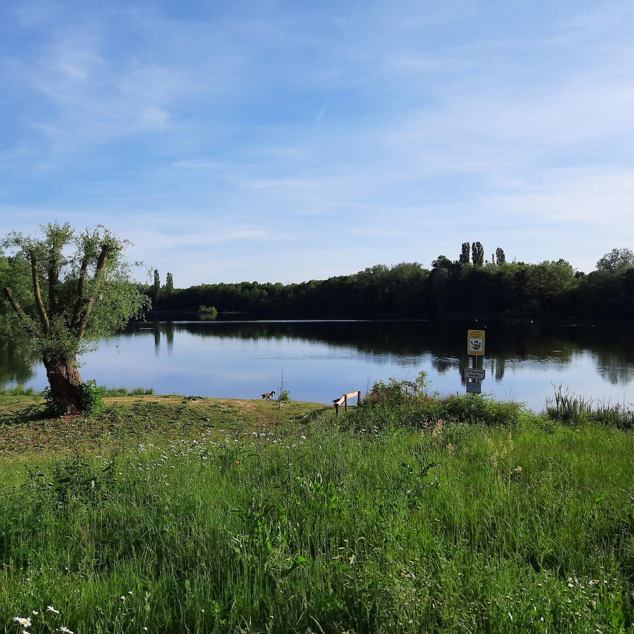
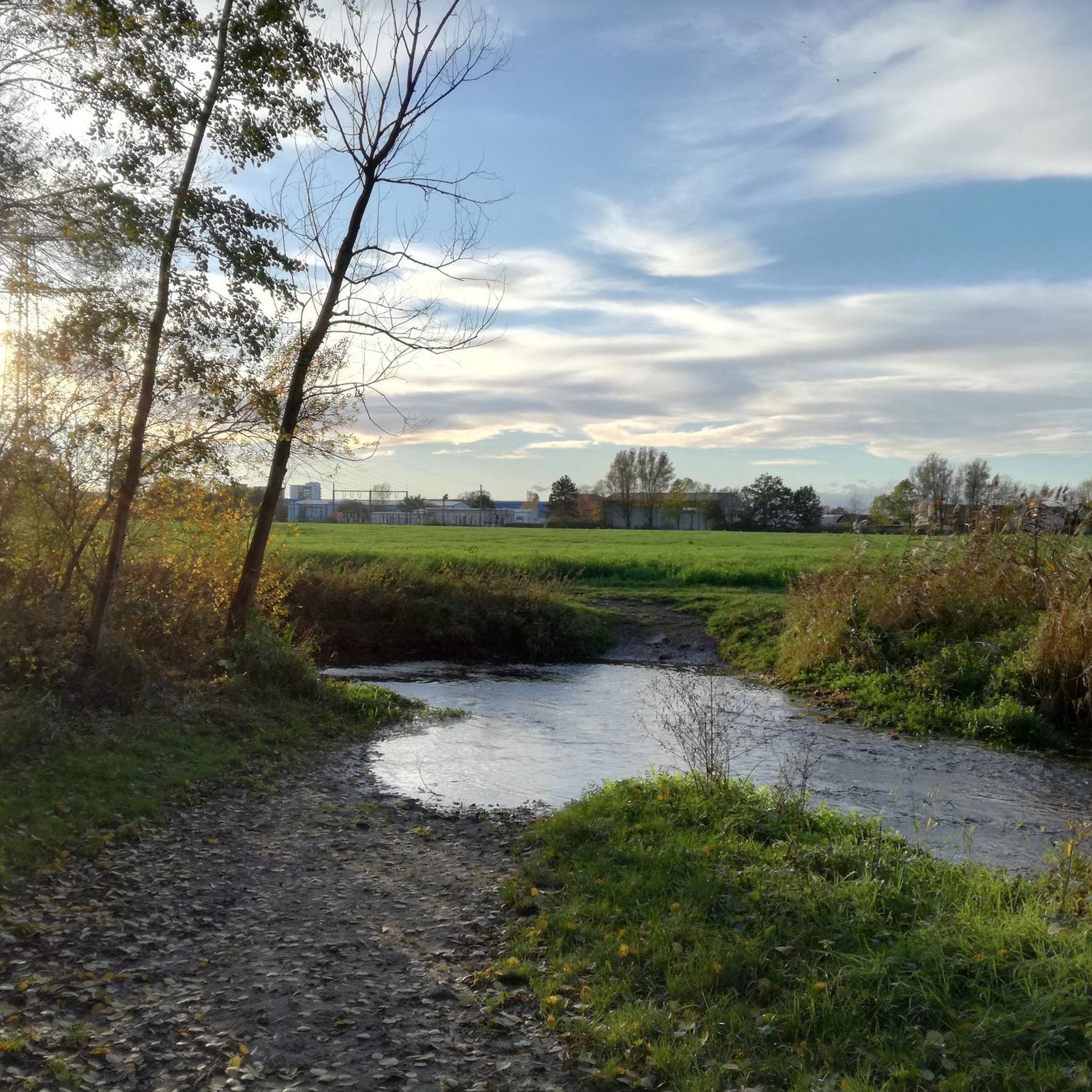
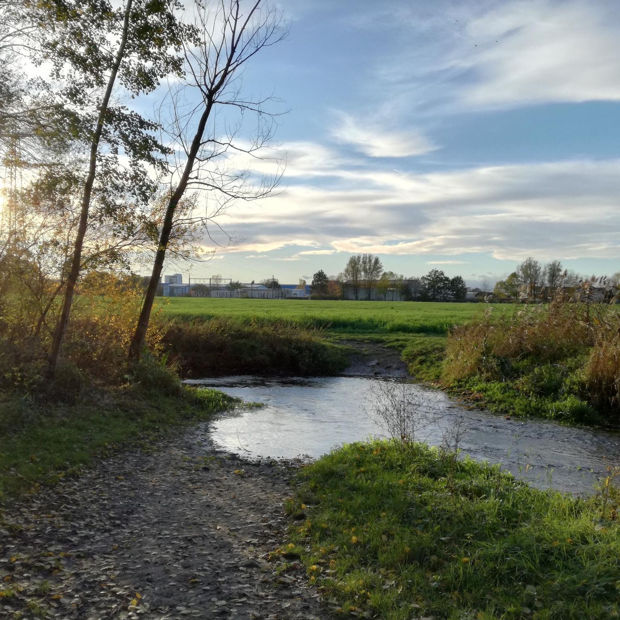
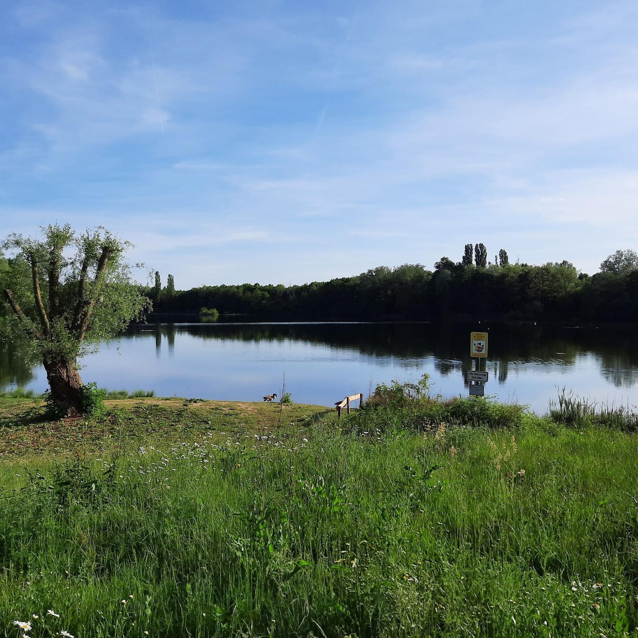

Tips from the Community

In 2018, the Bavarian State Survey Office determined that Bavaria's lowest mountain is located in the Kahl district. This was publicized by Bavarian Television in the series "Home of Records." Anyone wishing to hike to or visit the Birkenkopf will indeed have a very difficult time... just finding it. The hill lies at exactly 120 meters above sea level, in the middle of a private forest belonging to Emmerichshofen. Assuming the average elevation of the municipality of Kahl is 110 meters above sea level, the "ascent" to the Birkenkopf is actually a mere 10 meters. (Excerpt from kahl-main.de) Currently (December 2025), there are no signposts to the summit. A summit cross was erected in 2023.
3
0

The name of the mountain ⛰️ is: "Birkenkopf" and not "Bunkerkopf" !!!!
4
0
As is common on many other mountains, there is a cross on the summit, great.
3
0
It is quite common to find a cross on a mountaintop.
4
0
For some, however, it is one of the most beautiful peaks.
3
0
The Gailenberg nature reserve has so many special features. It's great that there are some information boards with explanations, great.
1
0
It is a very flat hill in a very sandy area. Wine has been grown here very successfully for several years.
1
0

The highest increase of Kahl
2
0
Frequently Asked Questions
What kind of mountain peaks can I expect to find near Obertshausen?
The region around Obertshausen features gentler, forested hills and elevated areas rather than traditional towering mountains. You'll find natural spaces ideal for recreation and hiking, with local elevations like the Hexenberg Summit and Ebertsberg Summit, which are among the highest points in the Offenbach district. Nearby low mountain ranges such as the Taunus and Odenwald offer more extensive terrain with diverse landscapes.
What are some of the most popular elevated areas to visit around Obertshausen?
Visitors frequently enjoy the Summit of the Mühlheim Gailenberg, known for its exceptional dry biotope and rare plants. The Ebertsberg Summit is popular for its beautiful single trails, especially for mountain biking, and the Hexenberg Summit (216 m) offers a challenging ascent to the highest point in the Offenbach district.
Are there family-friendly hiking options among the peaks near Obertshausen?
Yes, several elevated areas are suitable for families. The Summit of the Mühlheim Gailenberg and the Ebertsberg Summit are both categorized as family-friendly. These spots often feature accessible trails and natural beauty that can be enjoyed by all ages.
What unique natural features can I discover on these elevated areas?
The Summit of the Mühlheim Gailenberg is notable for its exceptional dry biotope, home to rarely occurring plants, and offers insights into its geology. The Water Reservoir Hoher Berg (Heusenstamm), a former trachyte quarry, showcases unique volcanic rock formations and geological history from the Tertiary period.
What outdoor activities can I do near the elevated areas around Obertshausen?
The region is excellent for various outdoor activities. You can find numerous hiking trails, such as the 'Wayside Cross – View of Hanau' route. For mountain biking, options like the 'Hexenberg Trail' are available. Cycling routes, including the 'View of Philippsruhe Palace' tour, are also popular. You can explore more options in the Hiking around Obertshausen, MTB Trails around Obertshausen, and Cycling around Obertshausen guides.
Are there any challenging routes for experienced hikers or mountain bikers?
Yes, for those seeking a challenge, the Hexenberg Summit (216 m) is known for its challenging ascent. The Ebertsberg Summit also features beautiful single trails that are enjoyable for experienced mountain bikers. Additionally, the 'Dietzenbach Ebertsberg Summit Trail' offers short but steep sections with gradients up to 23 percent.
What are the highest points in the immediate vicinity of Obertshausen?
Within the Offenbach district, the Hexenberg Summit is the highest elevation at 216 meters above sea level. The Ebertsberg Summit is also one of the highest points in the district, reaching approximately 192 meters.
Can I find scenic viewpoints among the elevated areas?
Many of the elevated areas offer scenic viewpoints. The Summit of the Mühlheim Gailenberg, Ebertsberg Summit, and Hexenberg Summit (216 m) are all noted for providing good views of the surrounding landscape.
What is the best time of year to hike the peaks around Obertshausen?
The forested hills and low mountain ranges around Obertshausen are generally pleasant for hiking from spring through autumn. Spring brings blooming flora, while autumn offers vibrant fall foliage. Even in winter, some trails can be enjoyed, though conditions may vary, especially on more challenging ascents like the Hexenberg Summit.
Are there any historical or geological points of interest on these elevated areas?
Yes, the Summit of the Mühlheim Gailenberg features a stele detailing its geological origins. The Ebertsberg Summit has historical speculation about a Roman watchtower, and the Water Reservoir Hoher Berg (Heusenstamm) is a former trachyte quarry with a rich geological history dating back 300 million years.
What are the nearby low mountain ranges accessible from Obertshausen for more extensive hiking?
For more extensive terrain, the Taunus Mountains to the north of Frankfurt offer gentle hills, dense forests, and the highest peak, Großer Feldberg (881 meters). To the east, the Spessart provides dense forests and hidden valleys, while the Odenwald to the south-east combines woodlands with traditional villages. The Vogelsberg, northeast of Frankfurt, is Europe's largest extinct volcano, featuring unique basalt formations.
Most popular routes around Obertshausen
Most popular attractions around Obertshausen

Get inspired with the komoot mobile app


Explore more
See even more amazing summits around Obertshausen with these guides:
