The 11 Most Amazing Peaks around Niederahr
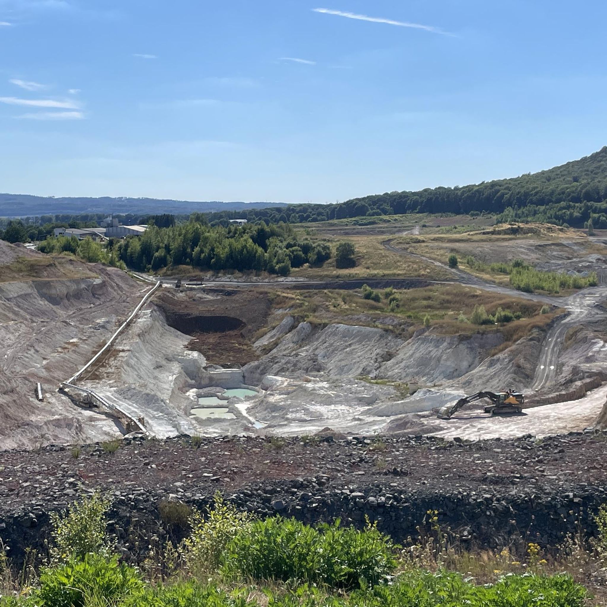
Best mountain peaks near Niederahr are characterized by the gentle hills and extensive forests of the Westerwald region. The community itself has an average elevation of 343 meters and a maximum elevation of 477 meters. The landscape around Niederahr features unique geological peculiarities, such as historical clay pits, and is part of the long-distance Westerwaldsteig hiking trail. This area offers a network of hiking trails suitable for various difficulty levels, providing scenic walks and peaceful outdoor experiences.
Best mountain peaks…
Last updated: June 26, 2026
Köppel Observation Tower
Highlight • Viewpoint
Is worth a trip. :-)
Translated by Google •
Tip by

Summit cross on Blasiussteig
Highlight • Monument
Translated by Google •
Tip by

Sign up now to discover places like this
Get recommendations on the best single tracks, peaks, & plenty of other exciting outdoor places.
Sign up for free
Translated by Google •
Tip by

Trail to Burgberg
Highlight • Trail
Translated by Google •
Tip by

Helleberg Observation Tower
Highlight • Viewpoint
Translated by Google •
Tip by

Sign up for free to discover even more peaks around Niederahr.
Sign up for free
Already have an account?
Start today with a free account
Your next adventure awaits.
Login or Signup
Tips from the Community

A must-do hike; if the weather is good, hikers will be treated to beautiful views stretching from the Westerwald to the Großer Feldberg in the Taunus.
0
0

Great place for a little break
3
0

Here it goes up quite steeply again and the castle is not waiting for you. But the view is worthwhile.
0
0


Wonderful up here
1
0

This path is easy to walk and I was excited about the view and was not disappointed.
1
0

This striking tower offers an amazing view from above - weather permitting.
4
0

Anyone who has managed the 160 steps to the top will get a beautiful all-round view.
4
0
Frequently Asked Questions
What are some of the most notable elevated spots and viewpoints around Niederahr?
While Niederahr is known for its gentle hills rather than towering peaks, several elevated spots offer excellent views and experiences. These include the Helleberg Observation Tower, which provides panoramic views of the Westerwald Lake District, and the Köppel Observation Tower, where you can see towards the Gr. Feldberg, Eifel volcanoes, and Siebengebirge. Another unique spot is the Summit cross on Blasiussteig, a man-made monument at the highest point of the Blasiussteig trail.
Are there family-friendly elevated spots or walks near Niederahr?
Yes, the Helleberg Observation Tower is considered family-friendly. Its accessibility and the rewarding views from the top make it a good destination for families. The general landscape of gentle hills and forests around Niederahr also provides many opportunities for relaxed, family-friendly strolls.
What kind of hiking trails can I find around Niederahr?
The region around Niederahr offers a network of hiking trails suitable for various difficulty levels, from easy strolls to moderately challenging walks. Many routes traverse the serene, hilly landscape and extensive forests. The area is also part of the long-distance Westerwaldsteig, known for its diverse landscapes and scenic viewpoints. For more specific routes, you can explore the hiking guide for Niederahr.
Are there any historical or unique geological features to explore near Niederahr's elevated areas?
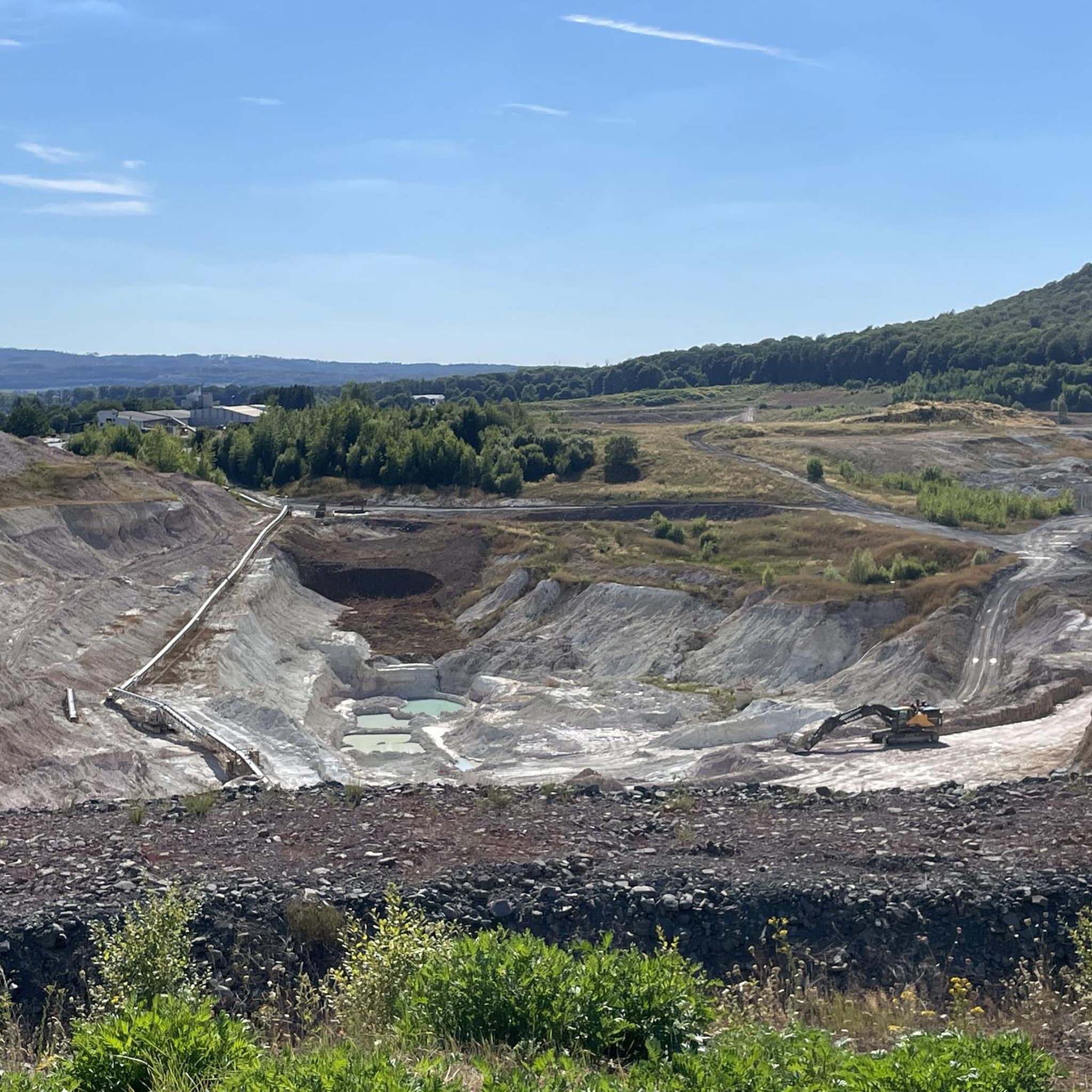
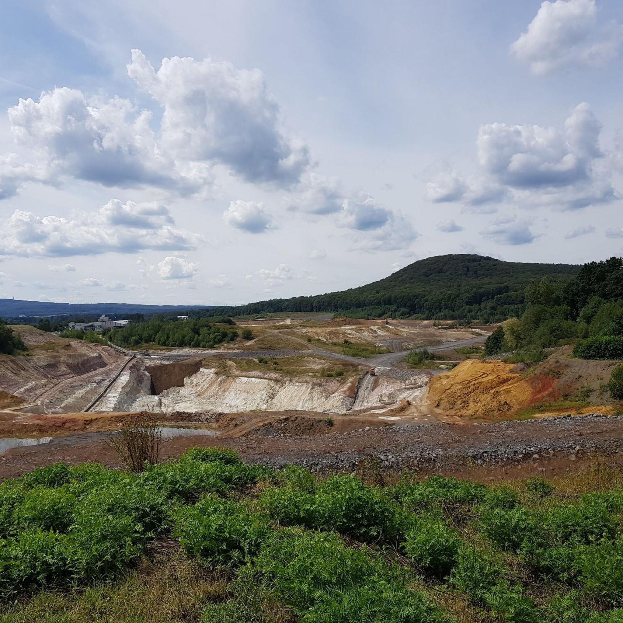
Yes, the terrain around Niederahr is shaped by unique geological peculiarities, such as historical clay pits. These offer distinctive experiences for hikers. Additionally, the Malberg summit and Wildweiberhäuschen ("Wild Women’s Hut") rock formation is a historically significant site with a varied history, offering both natural beauty and a glimpse into the past.
What outdoor activities, besides hiking, can I do near the elevated spots in Niederahr?
Beyond hiking, the area around Niederahr is excellent for cycling and mountain biking. You can find numerous routes for different skill levels. For example, there are several cycling routes listed in the Cycling around Niederahr guide, and dedicated trails for Gravel biking around Niederahr and MTB Trails around Niederahr.
What do visitors enjoy most about the elevated areas around Niederahr?
Visitors frequently praise the panoramic views, especially from observation towers like the Köppel Observation Tower and Helleberg Observation Tower. The peaceful, serene landscape, extensive forests, and the well-maintained trails, such as the Blasiussteig, are also highly appreciated for providing enjoyable outdoor experiences.
Is the Trail to Burgberg suitable for dogs?
Yes, the Trail to Burgberg is listed as dog-friendly. It's a small path on the mountain that offers great views, making it a pleasant option for walks with your canine companion.
When is the best time to visit the elevated areas around Niederahr?
The Westerwald region, including Niederahr, is beautiful throughout the year. Spring and autumn offer pleasant temperatures for hiking and cycling, with vibrant foliage in autumn. Summer is ideal for enjoying the lush green forests, while winter can provide a peaceful, snow-covered landscape, though some trails might require appropriate gear.
Are there any circular walks available near the elevated spots?
Yes, the region is well-suited for circular walks. Many local routes, such as those around the 'Tongrube Esther – Blick auf die Tongrube Anna Rundtour' or the 'Weiher im Westerwald – Heilige Mission Bildstock Rundtour,' are designed as circular paths, allowing you to experience diverse scenery without retracing your steps. You can find more options in the various komoot guides for the area.
What kind of wildlife can I expect to see in the mountain peaks area of Niederahr?
The extensive forests and natural landscapes around Niederahr are home to typical Central European forest wildlife. You might encounter various bird species, deer, foxes, and smaller mammals. The serene environment provides a good opportunity for nature observation, especially during quieter times of the day.
Are there cafes or places to eat near the hiking trails in Niederahr?
While specific cafes directly on every trail might be limited, the Köppel Observation Tower area features the Köppelhütte, which offers rustic charm and delicious food. Additionally, the villages and towns within the Westerwald region, including Niederahr itself, provide various dining options where you can refuel after your outdoor activities.
Most popular routes around Niederahr
Most popular attractions around Niederahr

Get inspired with the komoot mobile app


Explore more
See even more amazing summits around Niederahr with these guides:
