The 11 Most Amazing Peaks around Ruppach-Goldhausen
Best mountain peaks around Ruppach-Goldhausen are found within the gentle hills and dense forests of the Westerwald region, part of a low mountain range. This area, bordering the Nassau Nature Park, offers numerous elevated points for hiking and panoramic views. The terrain provides a natural setting ideal for outdoor activities, characterized by rolling landscapes rather than towering peaks.
Best mountain peaks around Ruppach-Goldhausen
- The most popular mountain peaks is Köppel Observation Tower, a viewpoint that offers expansive views after…
Last updated: October 13, 2026
Köppel Observation Tower
Highlight • Viewpoint
Is worth a trip. :-)
Translated by Google •
Tip by

Summit cross on Blasiussteig
Highlight • Monument
Translated by Google •
Tip by

Sign up now to discover places like this
Get recommendations on the best single tracks, peaks, & plenty of other exciting outdoor places.
Translated by Google •
Tip by

Höchst Summit
Highlight • Summit
Translated by Google •
Tip by

Trail to Burgberg
Highlight • Trail
Translated by Google •
Tip by

Sign up for free to discover even more peaks around Ruppach-Goldhausen.
Already have an account?
Start today with a free account
Your next adventure awaits.
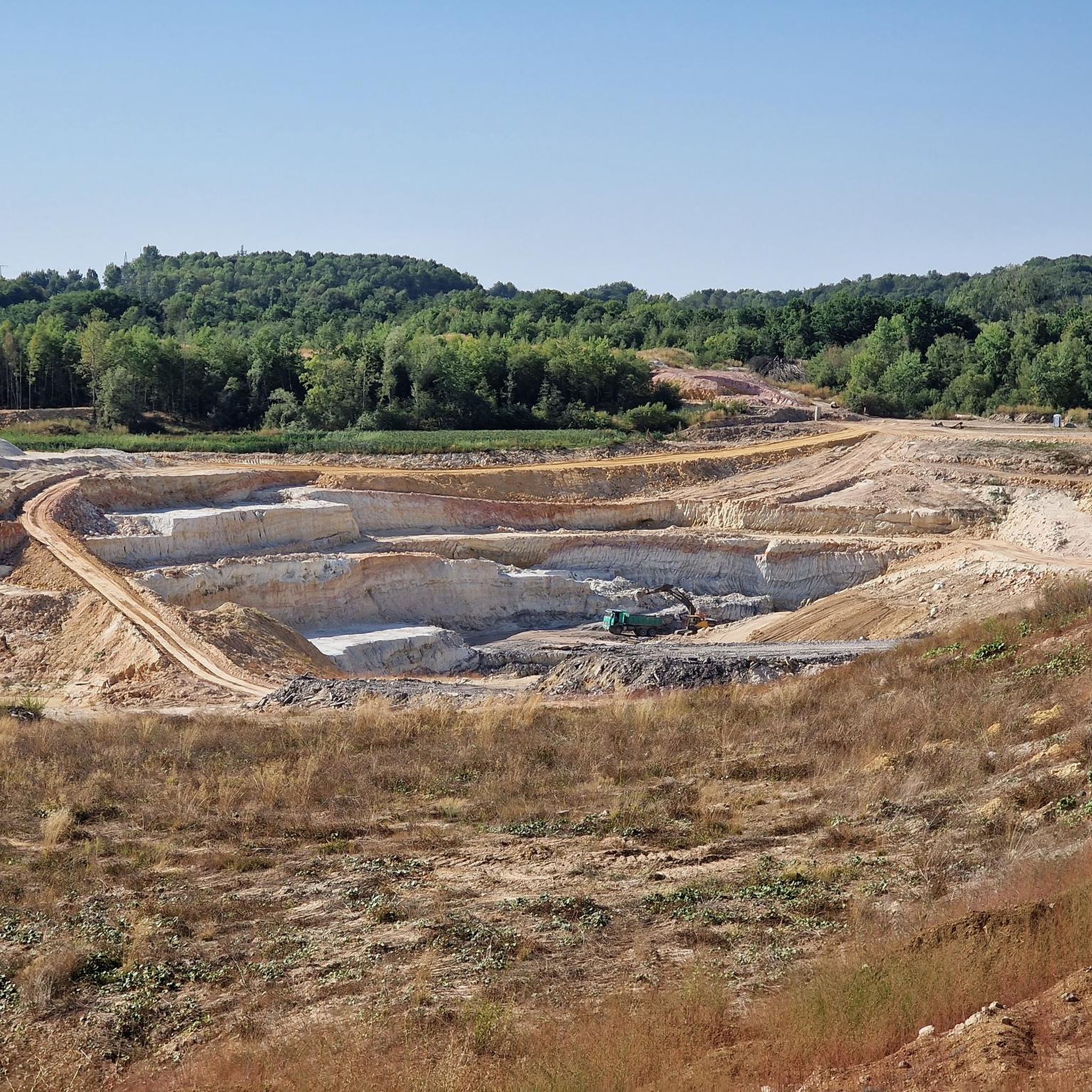
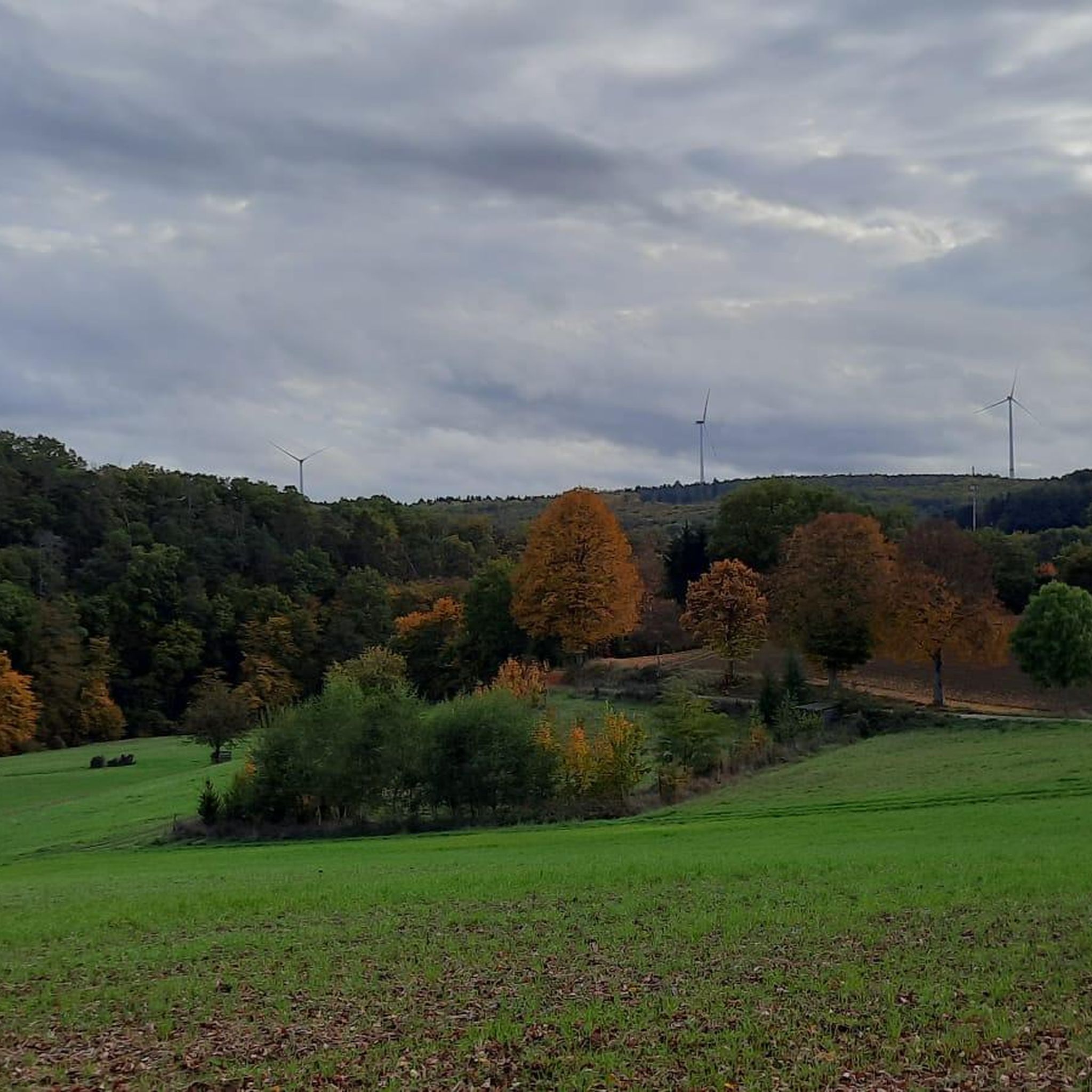
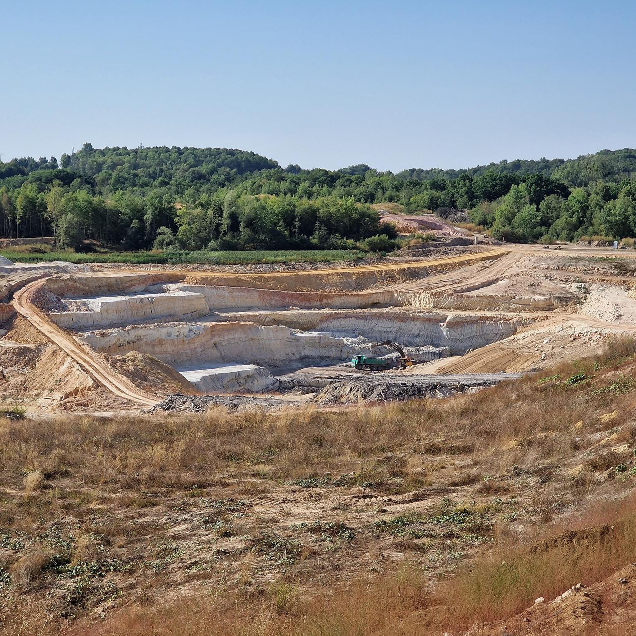
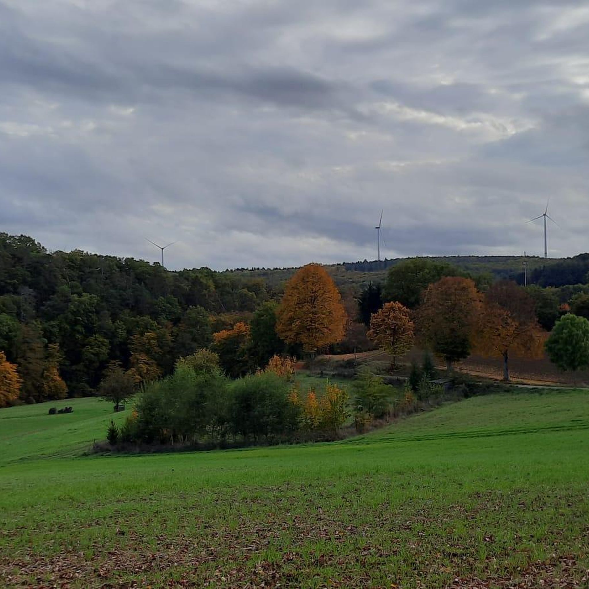
Tips from the Community

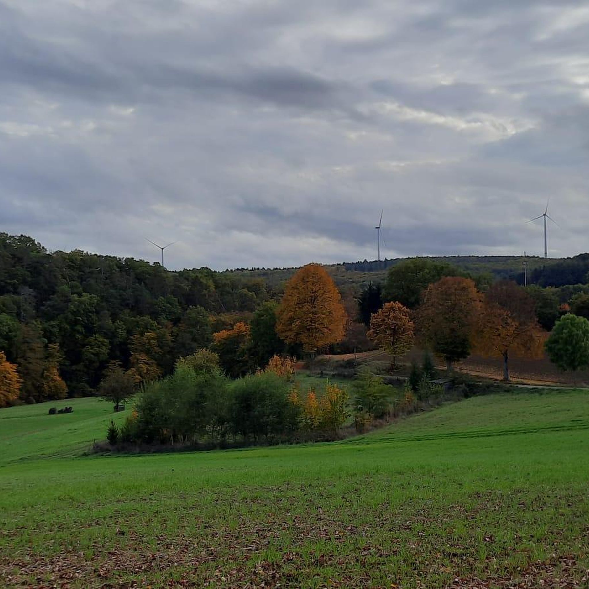
A must-do hike; if the weather is good, hikers will be treated to beautiful views stretching from the Westerwald to the Großer Feldberg in the Taunus.
0
0

Great place for a little break
3
0

Here it goes up quite steeply again and the castle is not waiting for you. But the view is worthwhile.
0
0


Wonderful up here
1
0

This path is easy to walk and I was excited about the view and was not disappointed.
1
0

Today (05/15/2023) the peak has grown again. The stone comes from Schönborn.
1
0

This is the castle hill
0
0
Frequently Asked Questions
What are some of the most popular elevated points or "peaks" to visit around Ruppach-Goldhausen?
The region around Ruppach-Goldhausen, part of the Westerwald's low mountain range, offers several popular elevated points for scenic views and outdoor activities. Highly regarded spots include the Köppel Observation Tower, known for its expansive panoramic views, and the Malberg summit and Wildweiberhäuschen ("Wild Women’s Hut") rock formation, which combines historical significance with natural beauty. Another notable point is the Summit cross on Blasiussteig, featuring a summit cross and a weather-protected summit book.
What kind of views can I expect from the elevated points in the Ruppach-Goldhausen area?
From the elevated points around Ruppach-Goldhausen, you can expect picturesque views over the surrounding valleys and dense forests of the Westerwald. Locations like the Köppel Observation Tower offer indescribable panoramic vistas, sometimes extending to distant landmarks like the Gr. Feldberg i.T., Eifel volcanoes, and Siebengebirge on clear days. The region's charm lies in its rolling terrain, providing a natural setting for expansive outlooks.
Is there a specific landmark that offers exceptional panoramic views?
Yes, the Köppel Observation Tower is a significant viewpoint in the vicinity. Climbing this tower provides truly exceptional and expansive views over the Westerwald region, making the ascent well worth the effort, especially in good weather.
What is the highest point in the region around Ruppach-Goldhausen?
The Höchst Summit, at 443 meters, is considered the highest mountain in the immediate region. It offers a tranquil spot where visitors often add to a growing pile of stones.
Are there hiking trails suitable for families near Ruppach-Goldhausen's elevated points?
The Westerwald region, including areas around Ruppach-Goldhausen, offers a variety of hiking trails suitable for different difficulty levels, including options for families. Many trails are well-maintained and lead to elevated points with views. For specific routes, you can explore the Hiking around Ruppach-Goldhausen guide, which includes easy routes like the "View of Goldhäuser Mühle – Wiesenmühle loop" or the "Finkelkarst Recreation Area loop".
Can I find trails for mountain biking around the elevated areas?
Yes, the region offers opportunities for mountain biking. The area around the Köppel Observation Tower is a point of interest for mountain bikers, with routes for descents and connections to other trails. You can find more detailed routes in the MTB Trails around Ruppach-Goldhausen guide, which features routes like the "View of Köppelturm – Köppel Observation Tower loop".
Are there any themed trails that offer insights into the region's history or nature?
Yes, the "Themenweg Ton" (Clay Theme Path) is a notable themed trail in the local landscape. While not leading to a specific peak, it winds through the area, explaining the history of clay mining through information boards. This path also offers views of renaturalized clay pits, such as the Freizeitgelände "Finkelkarst," and passes by points like the Goldhäuser Mühle and various viewpoints.
What outdoor activities can I do near these elevated points?
Beyond enjoying the views, the elevated points and surrounding areas of Ruppach-Goldhausen are ideal for various outdoor activities. Hiking is very popular, with trails ranging from easy walks to more demanding routes. Mountain biking and gravel biking are also well-supported with dedicated trails. You can find more options in the Hiking around Ruppach-Goldhausen, MTB Trails around Ruppach-Goldhausen, and Gravel biking around Ruppach-Goldhausen guides.
Are there any dog-friendly trails around the elevated points?
Yes, many trails in the Westerwald region are suitable for hiking with dogs. For example, the Trail to Burgberg is specifically noted as dog-friendly, leading to a castle hill with great views. Generally, the natural paths through forests and hills are welcoming for pets, but always ensure dogs are kept on a leash where required and respect local wildlife.
When is the best time of year to visit the elevated points around Ruppach-Goldhausen?
The best seasons for hiking and enjoying the elevated points around Ruppach-Goldhausen are typically spring and autumn. During these times, the weather is often pleasant, and the natural scenery is particularly beautiful with blooming flora or vibrant fall colors. Summer mornings or late afternoons can also be suitable for outdoor activities.
What should I know about the terrain difficulty for hiking in this region?
The terrain around Ruppach-Goldhausen is characterized by gentle hills and rolling landscapes, typical of a low mountain range region. This means you'll find a variety of trails, from easy walks suitable for beginners and families to more demanding routes with moderate ascents. While there are no towering peaks, some paths lead to higher elevations that provide a good workout and rewarding views.
Are there any unique features or monuments to discover on these elevated paths?
Yes, beyond natural viewpoints, you can discover unique features. For instance, at the highest point of the Blasiussteig, you'll find a Summit cross on Blasiussteig, which includes a weather-protected summit book. The Malberg summit also features the historically significant "Wildweiberhäuschen" rock formation.
What do visitors appreciate most about the elevated points in Ruppach-Goldhausen?
Visitors highly appreciate the diverse experiences offered by the elevated points around Ruppach-Goldhausen. The community has shared over 1100 photos and given more than 1500 upvotes, highlighting the beautiful panoramic vistas, the well-maintained trails, and the peaceful natural setting. The combination of scenic beauty, historical sites, and opportunities for various outdoor activities makes the region very appealing.
Are there circular hiking routes available around the elevated points?
Yes, the region offers several circular hiking routes. For example, well-maintained paths lead to a circular route around the Rupberg, connecting to neighboring villages and integrating into a larger regional hiking network. Many routes listed in the Hiking around Ruppach-Goldhausen guide are also designed as loops, such as the "Brush Pile Information Board – View of Ruppberg loop".
Most popular routes around Ruppach-Goldhausen
Most popular attractions around Ruppach-Goldhausen

Get inspired with the komoot mobile app


Explore more
See even more amazing summits around Ruppach-Goldhausen with these guides:
