The 6 Most Amazing Peaks around Lichtentanne
Best mountain peaks around Lichtentanne are characterized by rolling hills, forests, and valleys, rather than traditional high-altitude summits. With an average elevation of 329 meters, the area offers scenic natural attractions suitable for hiking and outdoor activities. While "mountain climbing" is a popular activity, it refers to exploring various elevated natural features and hiking opportunities within the region. Visitors will find enjoyment in exploring an extensive hiking network, which offers diverse natural scenery and gentle ascents.
Best mountain peaks around…
Last updated: June 26, 2026
Hirschenstein Summit and Triangulation Station
Highlight • Summit
Translated by Google •
Tip by

Summit Cross Reinsdorf
Highlight • Summit
Translated by Google •
Tip by

Sign up now to discover places like this
Get recommendations on the best single tracks, peaks, & plenty of other exciting outdoor places.
Sign up for free
Anton-Günther-Berghaus
Highlight • Mountain Hut
Translated by Google •
Tip by

Kreuzberg (402 m)
Highlight • Natural Monument
Translated by Google •
Tip by

View from Schulberg Langenhessen
Highlight • Viewpoint
Translated by Google •
Tip by

Sign up for free to discover even more peaks around Lichtentanne.
Sign up for free
Already have an account?
Start today with a free account
Your next adventure awaits.
Login or Signup
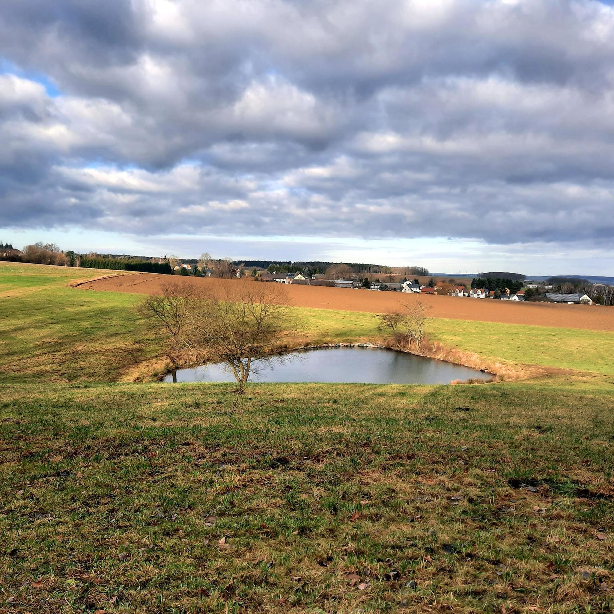
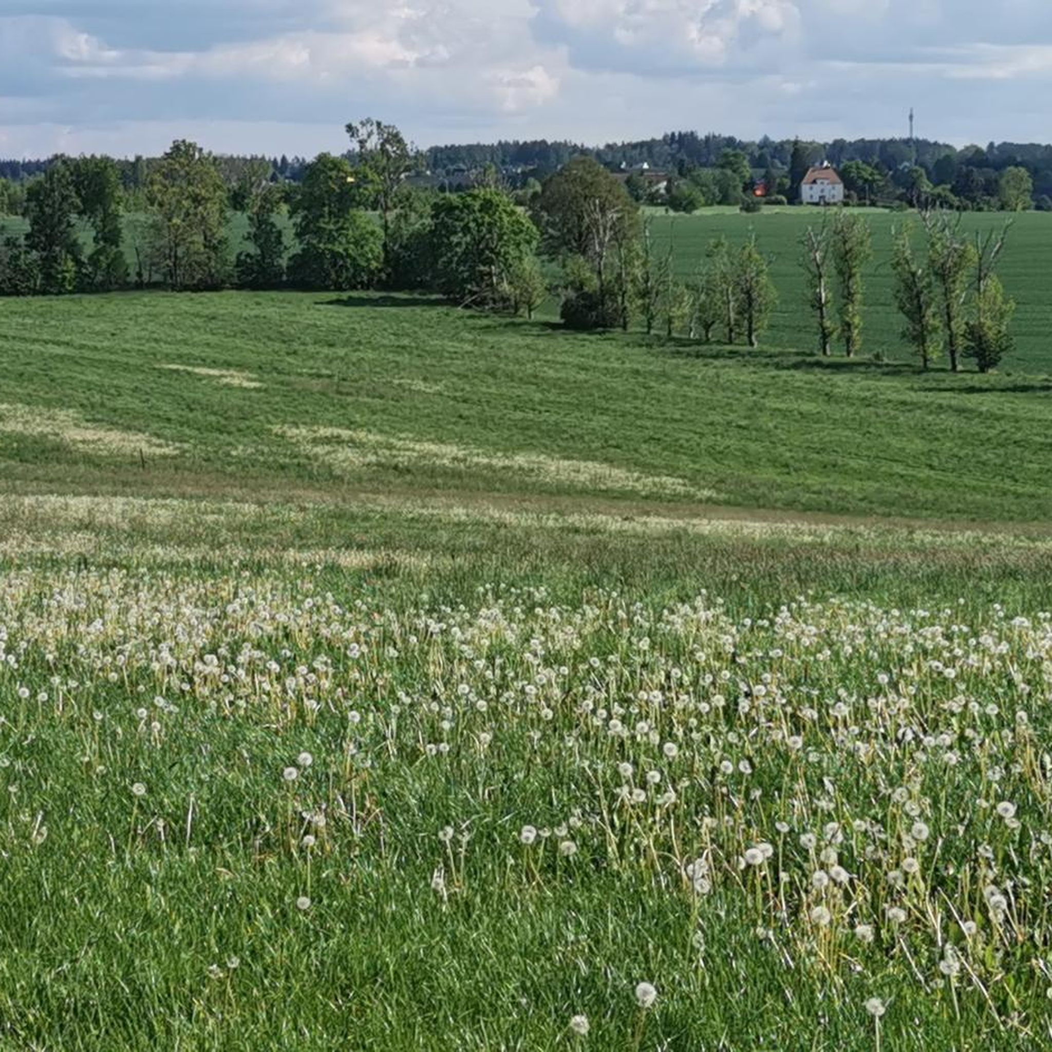
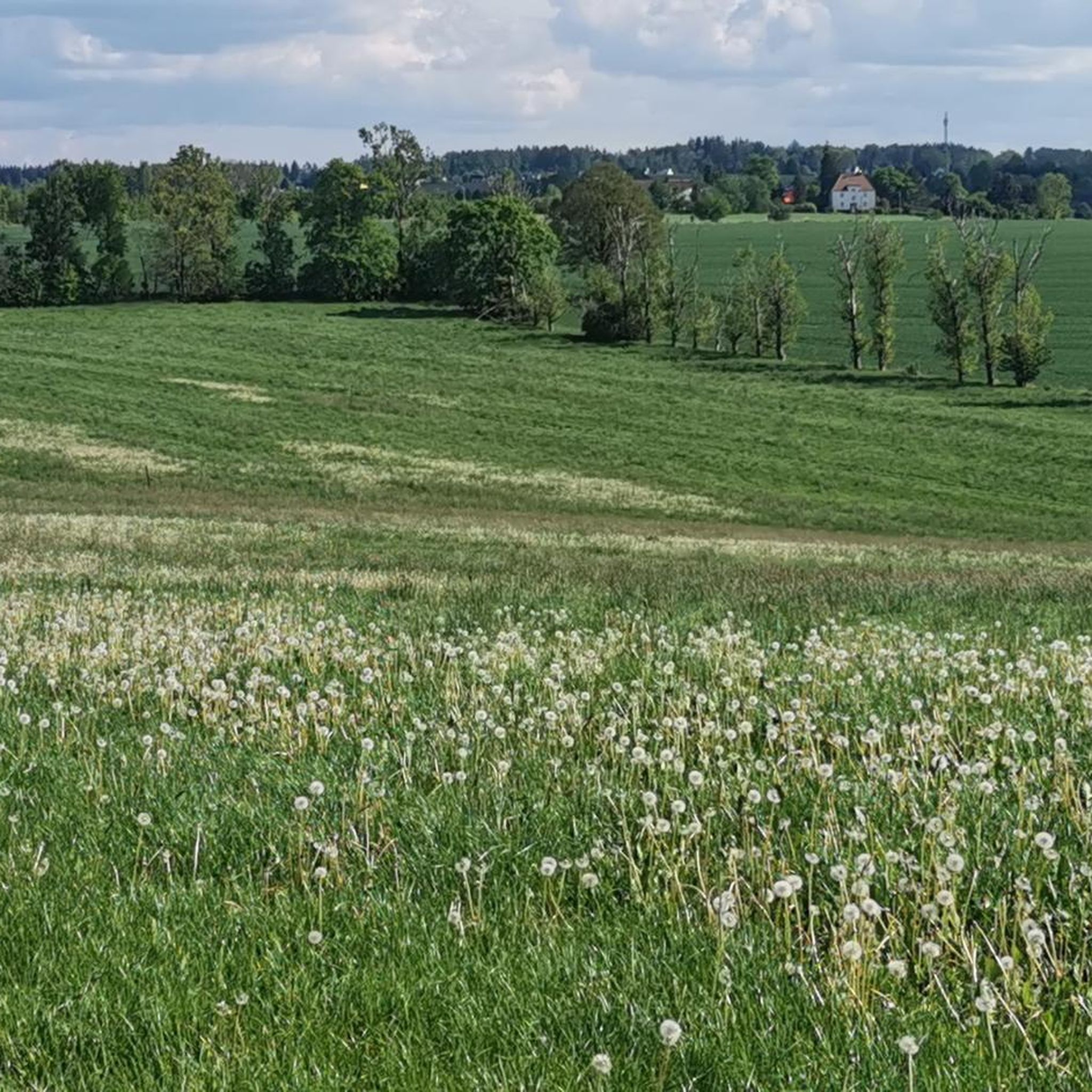
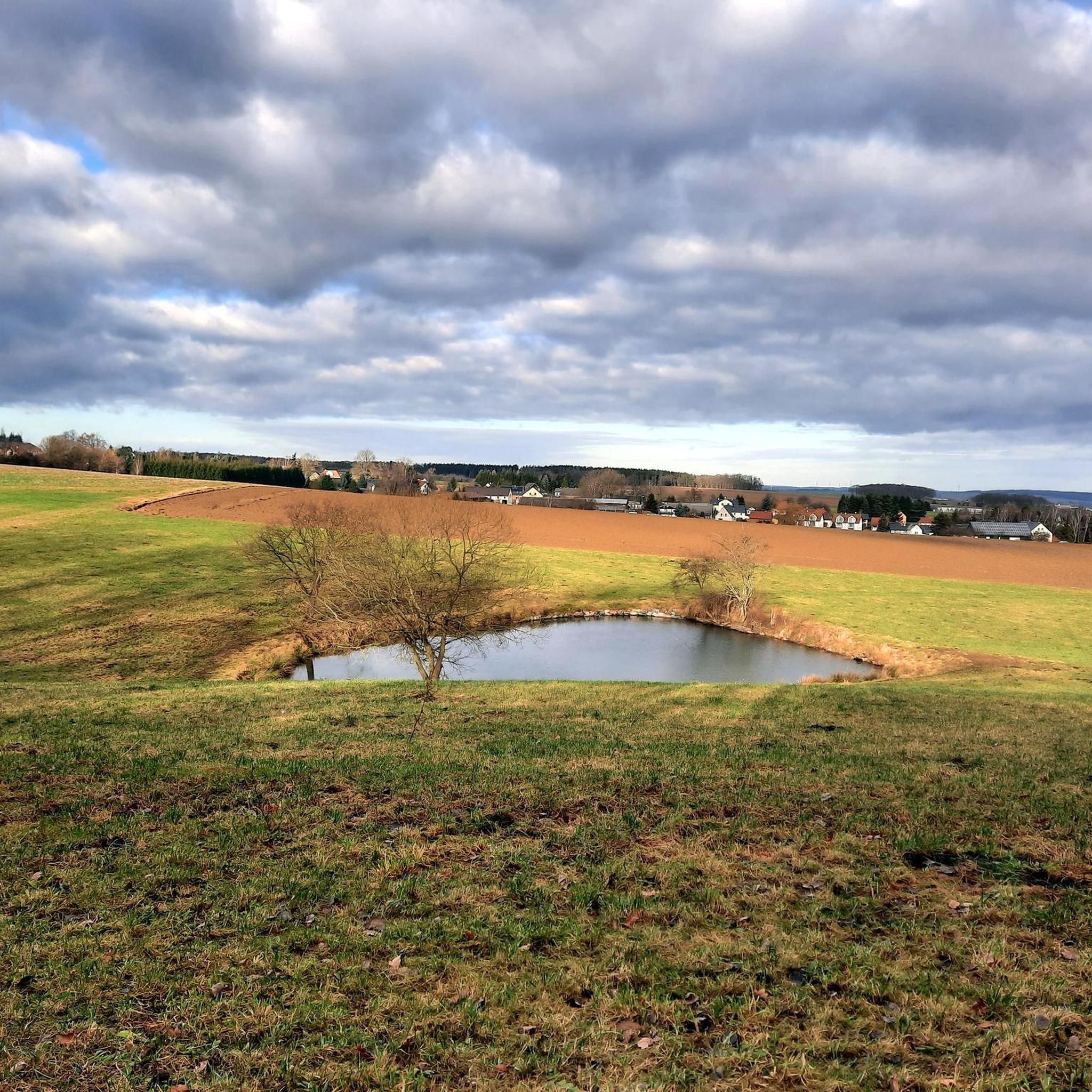
Tips from the Community

Opening Hours according to Google Monday 4:30 PM–9:00 PM Tuesday Closed Wednesday Closed Thursday 11:00 AM–9:00 PM Friday 11:00 AM–10:00 PM Saturday 11:00 AM–10:00 PM Sunday 3:00 PM–9:00 PM
0
0

Newly renovated and very inviting on the Borberg.
3
0

New bridge over the Planitzer Bach
0
0

Very good food, cozy and very friendly. I can only recommend it. 👌
0
0

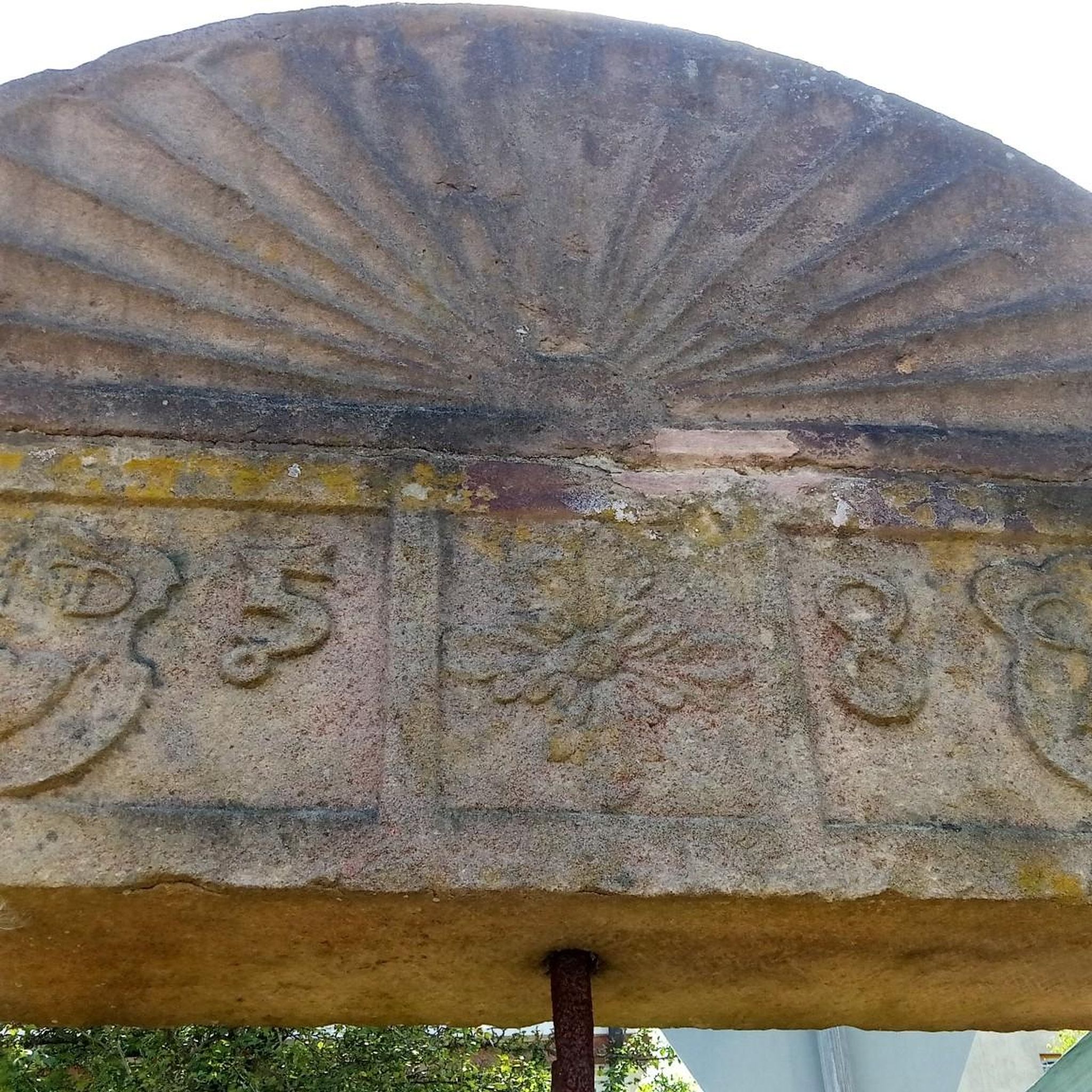
Bridge of the old Eisensteinweg https://www.zwickau.de/de/politik/verwaltung/aemter/dezernat2/tiefbau/wasserwirtschaft/natursteinbruecke-planitzbach.php
0
1

It should taste pretty good, maybe try it out 🤷🏻
0
0

A particularly popular excursion destination is the summit cross, erected by Helmut Körner in 2017 at a height of 412 m above sea level. Numerous visitors have already made entries in the summit book there. Bench and table invite you to rest after the ascent and a picture reminds of the initiator of the summit cross. He has given many hikers great pleasure with this vantage point. Every visitor sees the beauty of our homeland here. Source: https://www.reinsdorf.de/seite/524063/wander interest.html
1
0
Frequently Asked Questions
What kind of elevated natural features can I explore around Lichtentanne?
The region around Lichtentanne features rolling hills, forests, and valleys, offering scenic natural attractions rather than traditional high-altitude summits. You can explore various elevated natural features and hiking opportunities, such as the Kreuzberg (402 m), a natural monument, or the Hirschenstein Summit and Triangulation Station, which is the highest point in Zwickauer Land.
Are there any viewpoints with good scenery in the Lichtentanne area?
Yes, several spots offer pleasant views. The Hirschenstein Summit and Triangulation Station provides a nice rest area with a view. Similarly, the Summit Cross Reinsdorf offers a beautiful panoramic view over Reinsdorf after a sporty climb.
Where can I find a place to rest or eat during a hike?
The Anton-Günther-Berghaus is a newly renovated hut and restaurant located on the Borberg. It's known for good food and friendly service in an inviting atmosphere, making it an ideal stop during your outdoor activities.
What are some popular hiking trails near Lichtentanne?
Lichtentanne boasts an extensive network of hiking trails. For easy walks, you can explore routes like the Ebersbrunn Forest House loop or the Zwirn Pond – Römertal Conservation Area loop. You can find more details and routes on the Easy hikes around Lichtentanne guide.
Are there options for running or cycling around the elevated features?
Absolutely. The region offers various routes for different activities. You can find numerous running trails, including moderate to difficult options, in the Running Trails around Lichtentanne guide. For cyclists, there are easy to moderate routes available in the Cycling around Lichtentanne guide, such as the Luther Church Zwickau loop.
What is the highest point in Zwickauer Land that I can visit?
The highest point in Zwickauer Land is the Hirschenstein Summit and Triangulation Station, standing at 610.4 meters. It offers well-developed paths and a pleasant rest area with a view.
Are there any historical or cultural sites among the elevated features?
Yes, the Hirschenstein Summit and Triangulation Station is listed as a historical site. Additionally, the Summit Cross Reinsdorf is a man-made monument that adds a cultural element to the natural landscape.
What can I expect when visiting the Kreuzberg?
The Kreuzberg (402 m) is a natural monument and summit. It features a new bridge over the Planitzer Bach, which is part of the old Eisensteinweg, offering a pleasant spot for exploration.
What do visitors enjoy most about the mountain peaks and elevated areas around Lichtentanne?
Visitors appreciate the diverse natural scenery and gentle ascents offered by the extensive hiking network. Highlights like the Hirschenstein Summit are praised for their nice rest areas and well-developed paths, while the Anton-Günther-Berghaus is loved for its cozy atmosphere and good food.
Is the Hirtberg suitable for hiking, and what should I know about it?
The Hirtberg is a smaller elevation at 561 meters in the Hartmannsdorf Forest. It's easily climbable, but since there's no official path leading directly to it, sturdy footwear is recommended for those looking to explore this spot.
Are there any specific natural monuments to look out for?
Yes, the Kreuzberg (402 m) is recognized as a natural monument. The region also features other natural attractions like the 'Zwirnteich' and 'Quarksteine' along its hiking trails.
What is the general elevation of the 'mountain peaks' in Lichtentanne?
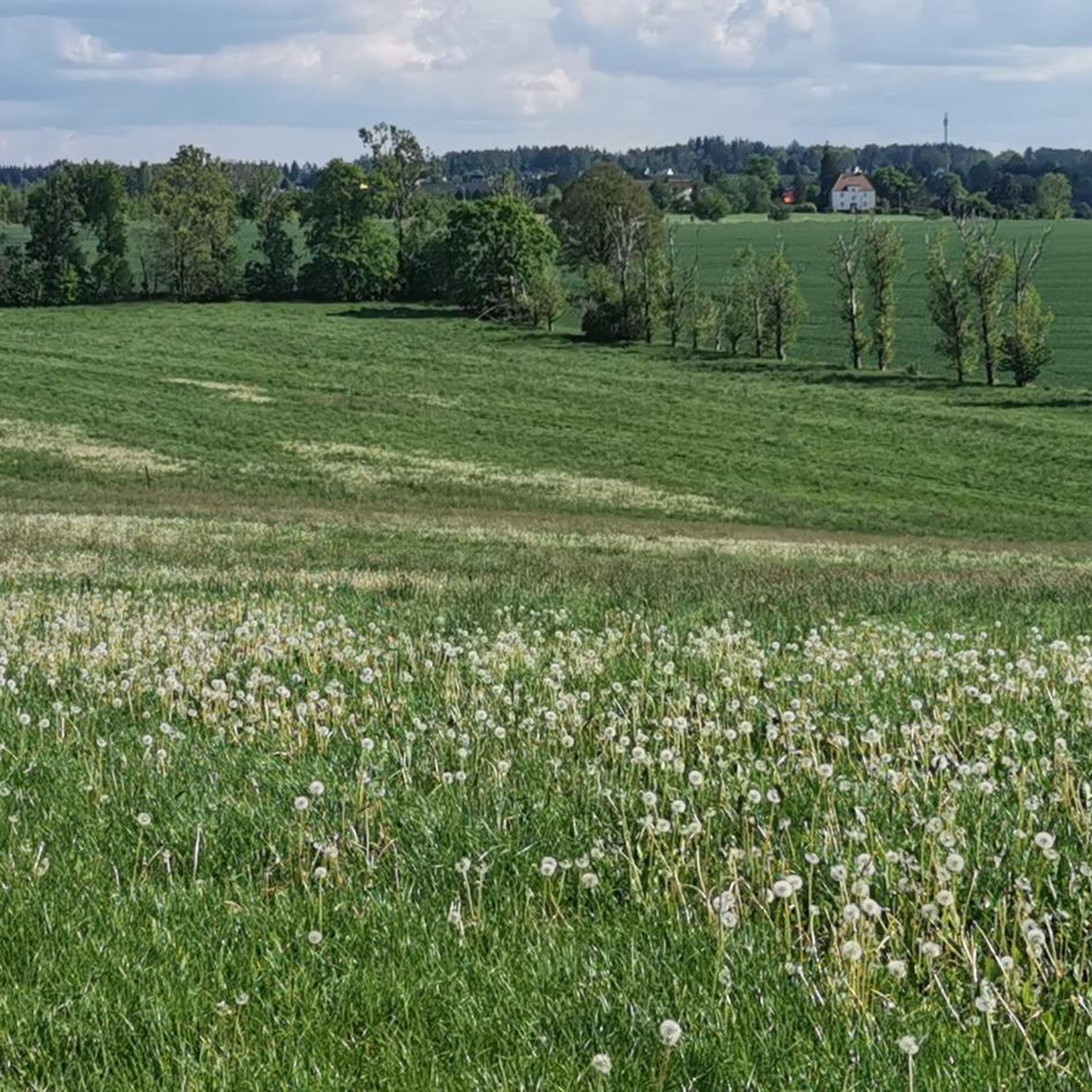
The elevated features around Lichtentanne are characterized by rolling hills, with an average elevation of 329 meters. While not traditional high-altitude mountains, they offer significant natural beauty and recreational opportunities.
Most popular routes around Lichtentanne
Most popular attractions around Lichtentanne

Get inspired with the komoot mobile app


Explore more
See even more amazing summits around Lichtentanne with these guides:
