The best road cycling routes around Krailling
4.5
(3620)
49,233
riders
444
rides
Road cycling around Krailling, situated in Upper Bavaria, Germany, offers diverse landscapes for cyclists. The area is characterized by its location between the Würm and Isar rivers, providing verdant environments and paths. Cyclists encounter rolling hills and valleys, with proximity to larger lakes like Starnberg and Ammersee. The terrain includes both flat sections and moderate climbs, suitable for various road cycling preferences.
Best road cycling routes around Krailling
- The most popular road cycling route is Scenic side road to Frohnloh…
Last updated: July 4, 2026
4.6
(56)
409
riders
51.1km
02:07
300m
300m
Moderate road ride. Good fitness required. Mostly well-paved surfaces and easy to ride.
4.6
(11)
272
riders
Easy road ride. Great for any fitness level. Mostly well-paved surfaces and easy to ride.

Sign up for free
4.7
(15)
209
riders
Easy road ride. Great for any fitness level. Mostly well-paved surfaces and easy to ride.
5.0
(4)
74
riders
Moderate road ride. Good fitness required. Some segments of this route may be unpaved and difficult to ride.
4.3
(3)
57
riders
36.4km
01:34
130m
130m
Easy road ride. Great for any fitness level. Mostly well-paved surfaces and easy to ride.
Get access to more routes and recommendations from other explorers.
Sign up for free
Already have an account?
Our route recommendations are based on thousands of hikes, rides, and runs completed by other people on komoot.
Start today with a free account
Your next adventure awaits.
Login or Signup
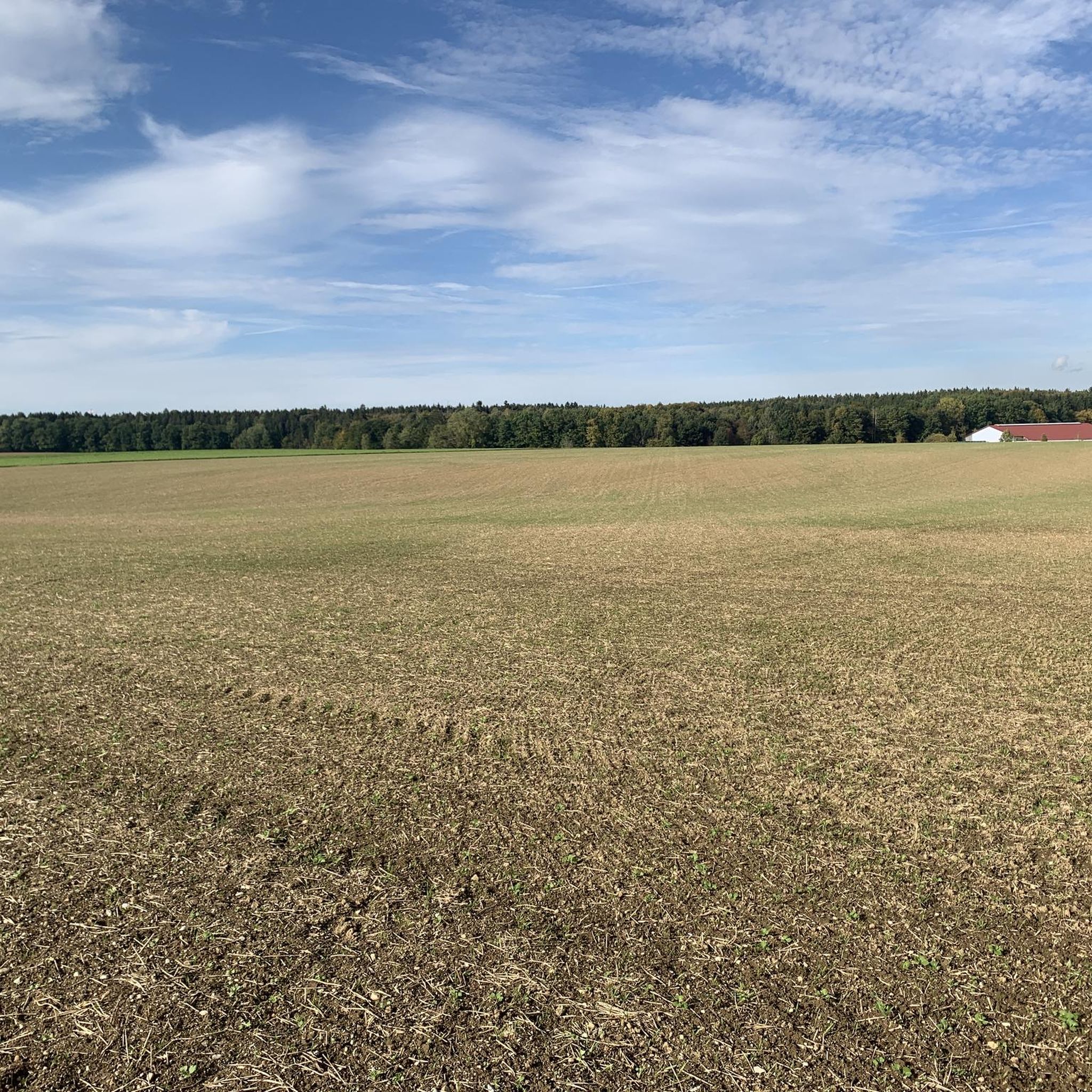
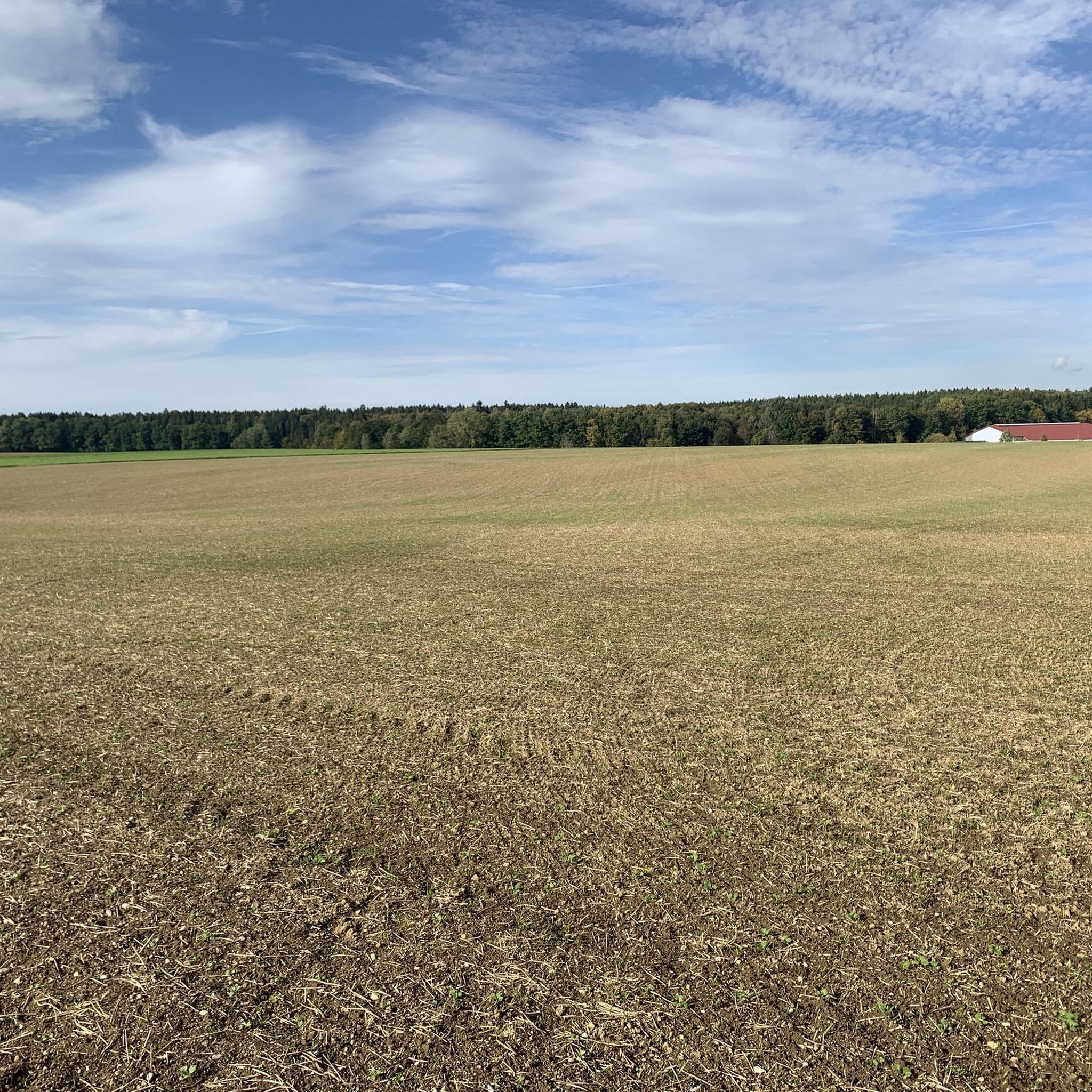
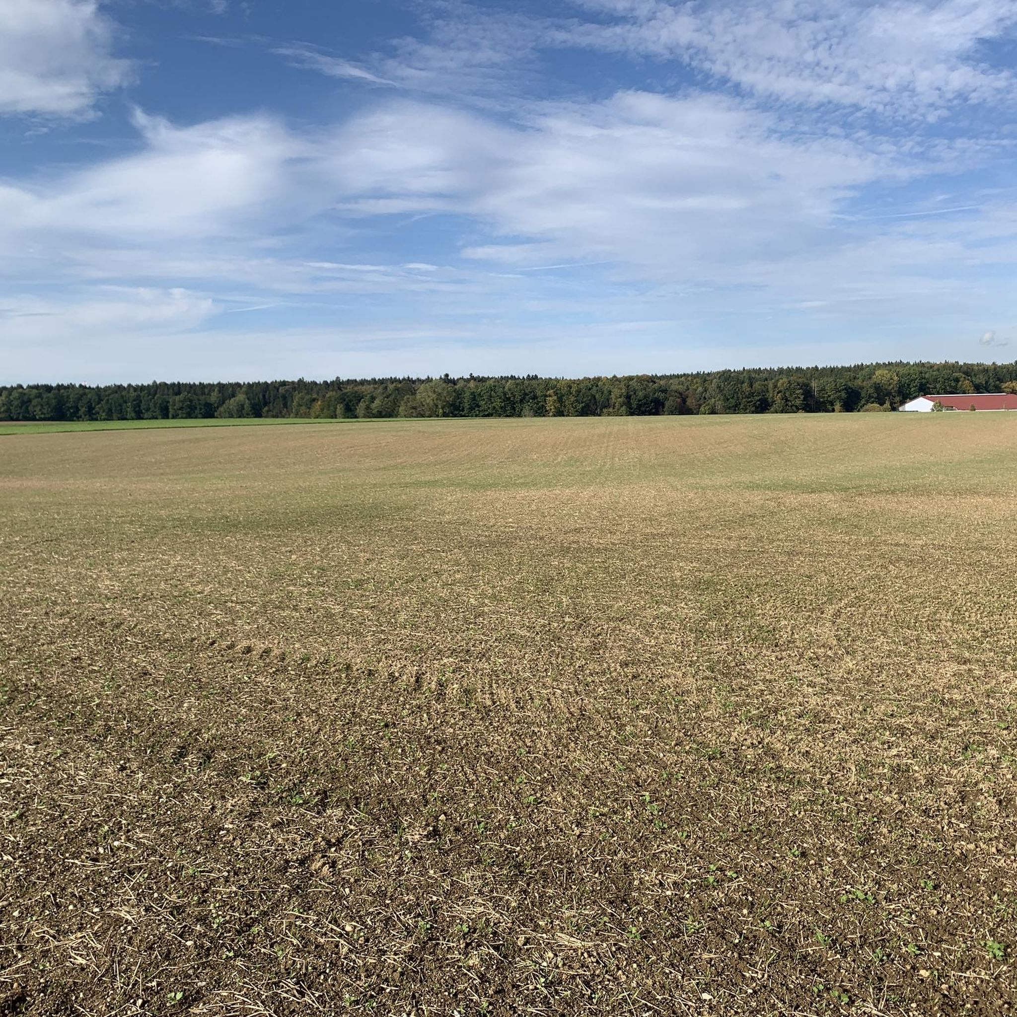
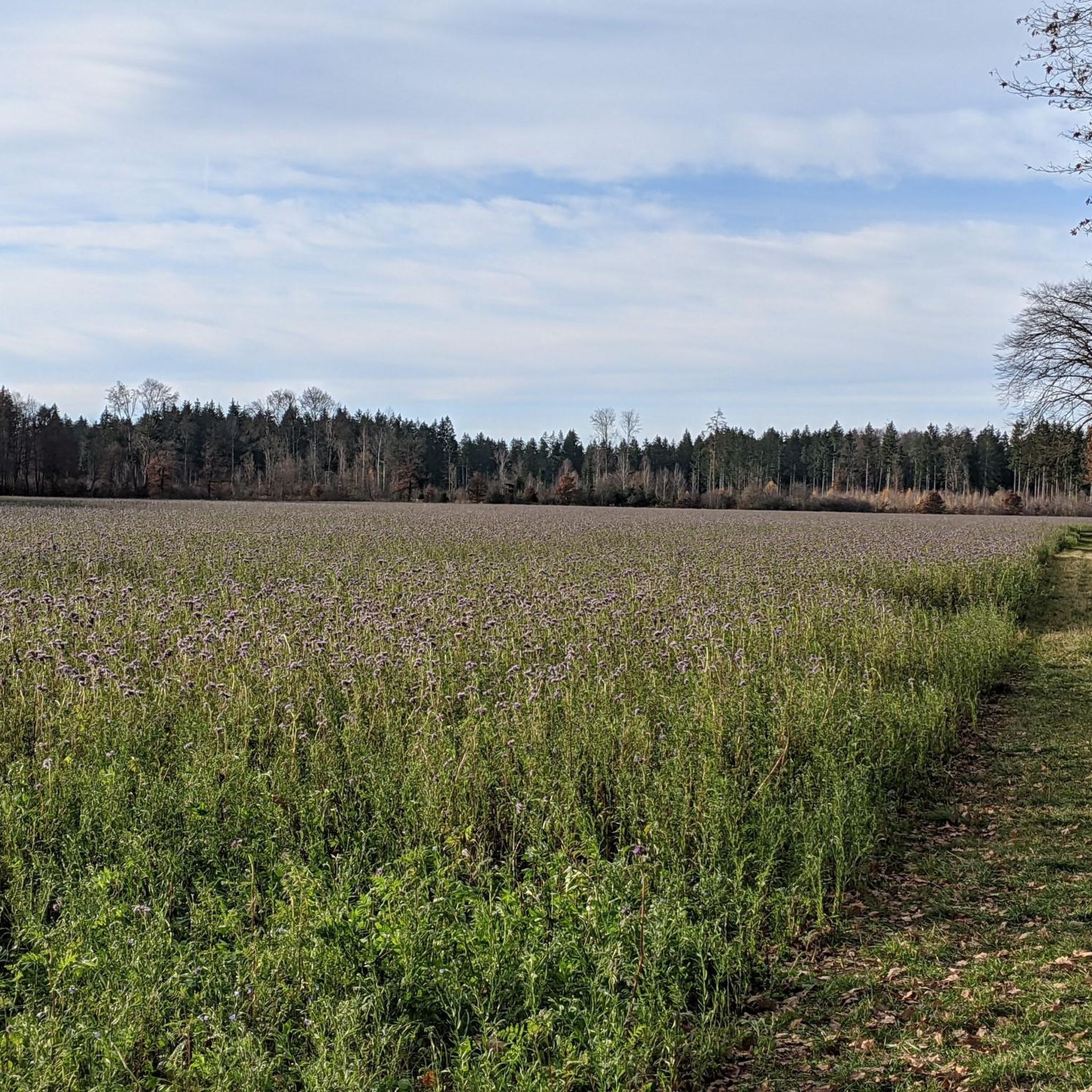
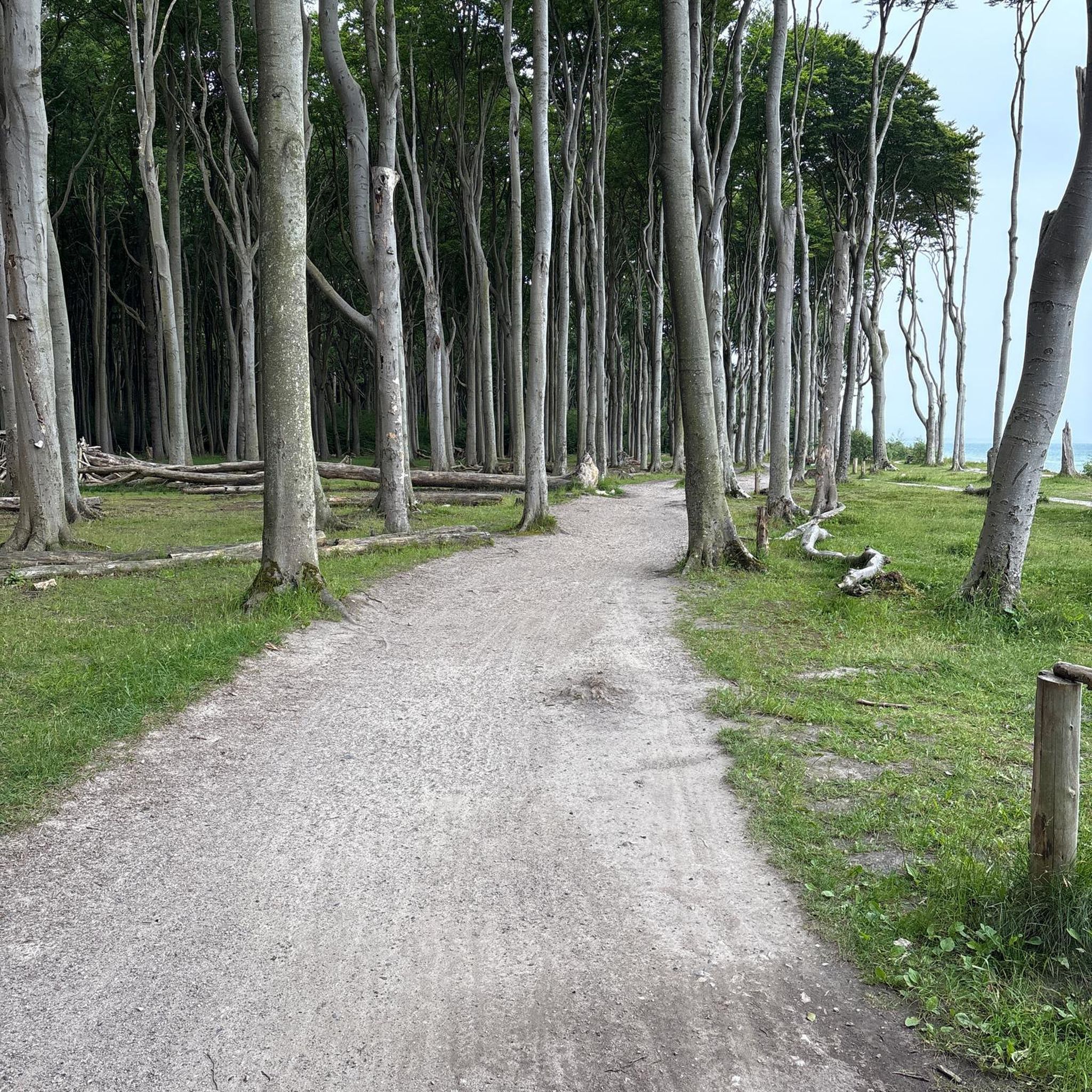
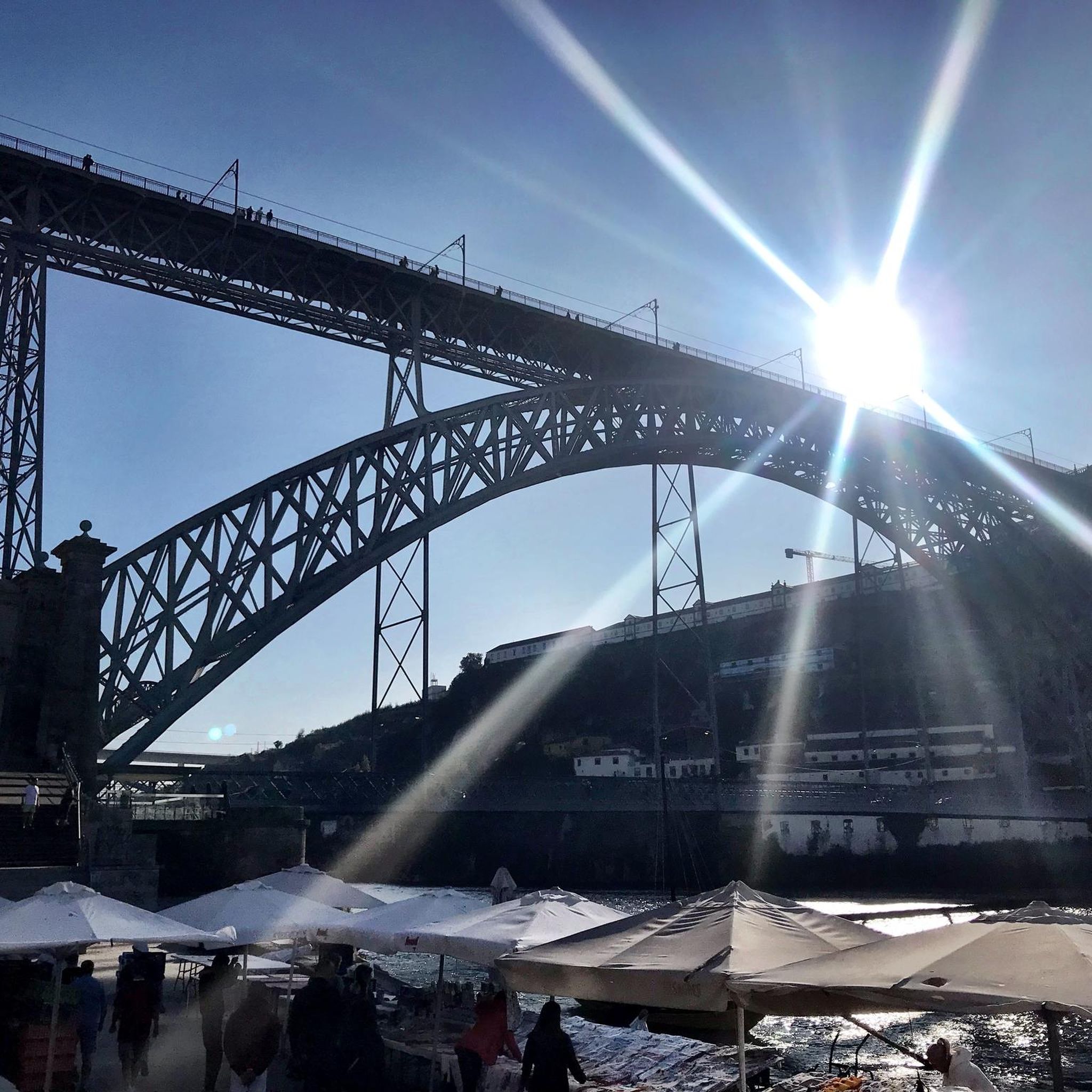
Tips from the Community

Lake Wörthsee is a charming lake next to Lake Ammersee
0
0

Beautiful path through the forest
0
0


Here you can also go swimming with a wonderful view of the lake...
0
0

An airport with sometimes a lot of noise from tiny planes
0
0

Great view over Lake Ammersee - the steep climb from the center of Breitbrunn is definitely worth it!
0
0

Bike path next to the road, great!
0
0

The road surface is very bad :(
1
0
Frequently Asked Questions
What kind of terrain can I expect on road cycling routes around Krailling?
Road cycling around Krailling offers a diverse landscape. You'll find picturesque paths through rolling hills and valleys, situated between the Würm and Isar rivers. The area also provides access to larger lakes like Starnberg and Ammersee, with routes that include both flat sections and moderate climbs, catering to various preferences.
How many road cycling routes are available in the Krailling area?
There are over 430 road cycling routes available around Krailling, offering a wide range of options for cyclists. These include routes of varying difficulty, from easy to moderate and even some more challenging paths.
Are there road cycling routes suitable for beginners or those looking for an easy ride?
Yes, Krailling offers numerous easy road cycling routes. For instance, the Unering–Hochstadt Fast Road – Scenic side road to Frohnloh loop from Planegg is an easy 39.7 km path with around 227 meters of ascent. Another easy option is the Unering–Hochstadt Fast Road – Scenic side road to Frohnloh loop from Stockdorf, which is 39.3 km long with similar elevation.
What do other cyclists enjoy most about road cycling in Krailling?
The road cycling routes around Krailling are highly rated by the komoot community, with an average score of 4.5 stars from over 3,200 reviews. Cyclists often praise the varied scenery, the well-maintained paths, and the mix of river valleys, rolling hills, and proximity to the Munich lakes.
Are there any longer road cycling routes for extended rides?
Yes, for those seeking longer rides, the Scenic side road to Frohnloh – Unering–Hochstadt Fast Road loop from Planegg is a moderate 70.7 km route with over 430 meters of elevation gain, providing a more extended cycling experience.
What natural features and scenic viewpoints can I expect to see while cycling around Krailling?
Krailling's location between the Würm and Isar rivers provides a verdant environment with pleasant paths. You can enjoy views of the Isar valley from the Großhesseloher Bridge, and the region is close to major lakes like Ammersee and Lake Starnberg, offering picturesque lake views. The surrounding terrain also features gentle hills and valleys.
Are there any cultural landmarks or points of interest along the road cycling routes?
While cycling, you might encounter cultural points of interest such as Blutenburg Castle, known for its Gothic towers. Krailling itself also has a charming historic village center with traditional houses and churches, offering a pleasant atmosphere.
Can I find places to rest or eat along the routes?
While specific cafes and pubs are not detailed for every route, the region around Krailling, including nearby towns like Planegg, Stockdorf, and Gauting, offers various options for cafes, pubs, and restaurants. You can also find several huts and inns, such as the Mühltal Inn or Wildmoos Forsthaus, which can serve as resting points.
What is the best season for road cycling in Krailling?
Krailling's varied terrain and well-maintained cycling paths make it an excellent destination for road cycling throughout the year. However, the spring, summer, and early autumn months typically offer the most pleasant weather conditions for exploring the region's natural beauty.
Are there any specific attractions or highlights near the cycling paths?
Yes, beyond the routes themselves, you can find highlights such as the Wildlife Observation Hut, the Pasinger Hut, and the Hexenhütte. The Würm River in the Moore and Forests of the Terminal Moraine near Starnberg is also a notable natural feature.
How can I access the road cycling routes in Krailling using public transport?
Krailling is located in the Starnberg district, which is well-connected by public transport, including the S-Bahn. Cyclists can often use regional trains and S-Bahn lines to reach starting points for routes, with many stations offering bike parking facilities. Specific details for each route's access point can be found on komoot.
Are there any circular road cycling routes available?
Yes, many routes around Krailling are designed as loops, allowing for circular rides. An example is the Scenic side road to Frohnloh – View of Andechs Abbey loop from Stockdorf, a moderate 51.1 km route that offers varied scenery and returns to its starting point.
Most popular routes around Krailling
Most popular attractions around Krailling

Get inspired with the komoot mobile app


Explore more
Browse the best Road cycling routes in other regions.
