The 4 Most Amazing Peaks around Sitzendorf an der Schmida
Best mountain peaks around Sitzendorf an der Schmida are characterized by rolling hills and agricultural landscapes in Lower Austria. The region features elevated points that serve as local summits, offering scenic views and recreational opportunities. These areas provide opportunities for hiking and enjoying the tranquil, picturesque landscape of the western Weinviertel. The trails often pass through charming villages and showcase the unique topography of Lower Austria.
Best mountain peaks around Sitzendorf an der Schmida
- The most popular mountain peaks is…
Last updated: June 26, 2026
Celtic Tower Sandberg
Highlight • Monument
Translated by Google •
Tip by

Kogelsteine
Highlight • Natural Monument
A historical place - as many finds prove, our ancestors already enjoyed this place.
Translated by Google •
Tip by

Sign up now to discover places like this
Get recommendations on the best single tracks, peaks, & plenty of other exciting outdoor places.
Sign up for free
Pankraz Hill (Pankratzberg)
Highlight • Historical Site
Translated by Google •
Tip by

Summit Cross Goldberg
Highlight • Summit
Translated by Google •
Tip by

Goldberg Summit Cross
Highlight • Summit
Also a nice place for a rest!
You can drive a little further towards the cross! The last part is then challenging by bike!
Translated by Google •
Tip by
Sign up for free to discover even more peaks around Sitzendorf an der Schmida.
Sign up for free
Already have an account?
Start today with a free account
Your next adventure awaits.
Login or Signup
Popular around Sitzendorf an der Schmida
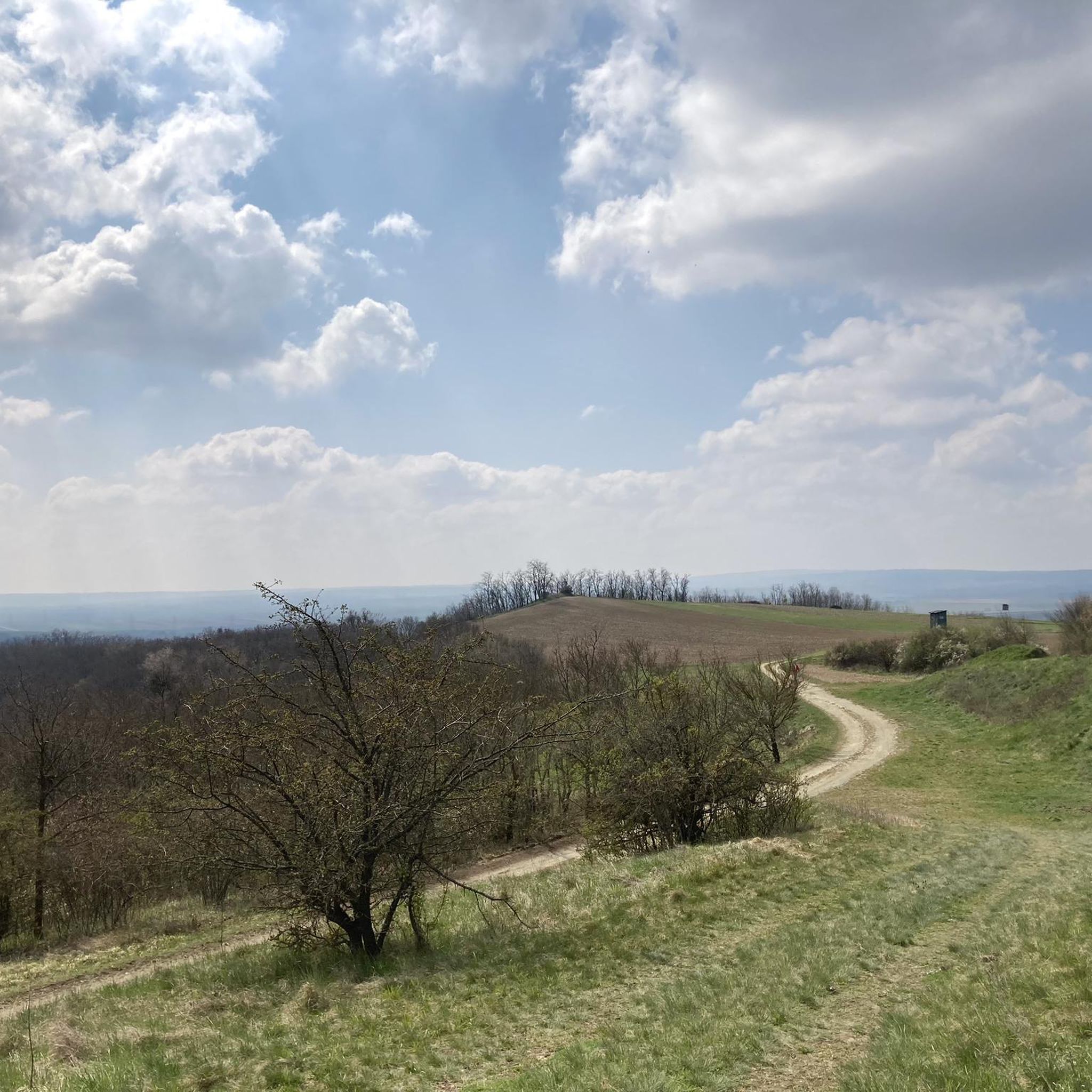

Tips from the Community

Burial mound on which a medieval manor house and later a chapel were built. Today, there is a fantastic view of the surrounding area.
0
0

You feel like you are in the Blockheide in miniature
0
0

Good all-round view from the observation tower
1
0

The Celtic settlement of Sandberg is the largest Celtic settlement and the oldest mint in Austria, as well as the Celtic settlement with the most Celtic sanctuaries of all.
3
0

The Sandberg is a peak in the Retzer Land with an altitude of 339 m. There is a cross and a 3-story observation tower, which is worth climbing at any time of the year; you can see the Pulkau and Schmida valleys, Retz and the Czech Republic 🤩. There is also a rest area and information boards. Sometimes drinks are chilled in the “wine fountain”.
0
0

Wonderful view of the Weinviertel. A historical place - as many finds prove, our ancestors already enjoyed this place.
1
0

Great view of the Schmidatal, rare plants/animals.
0
0

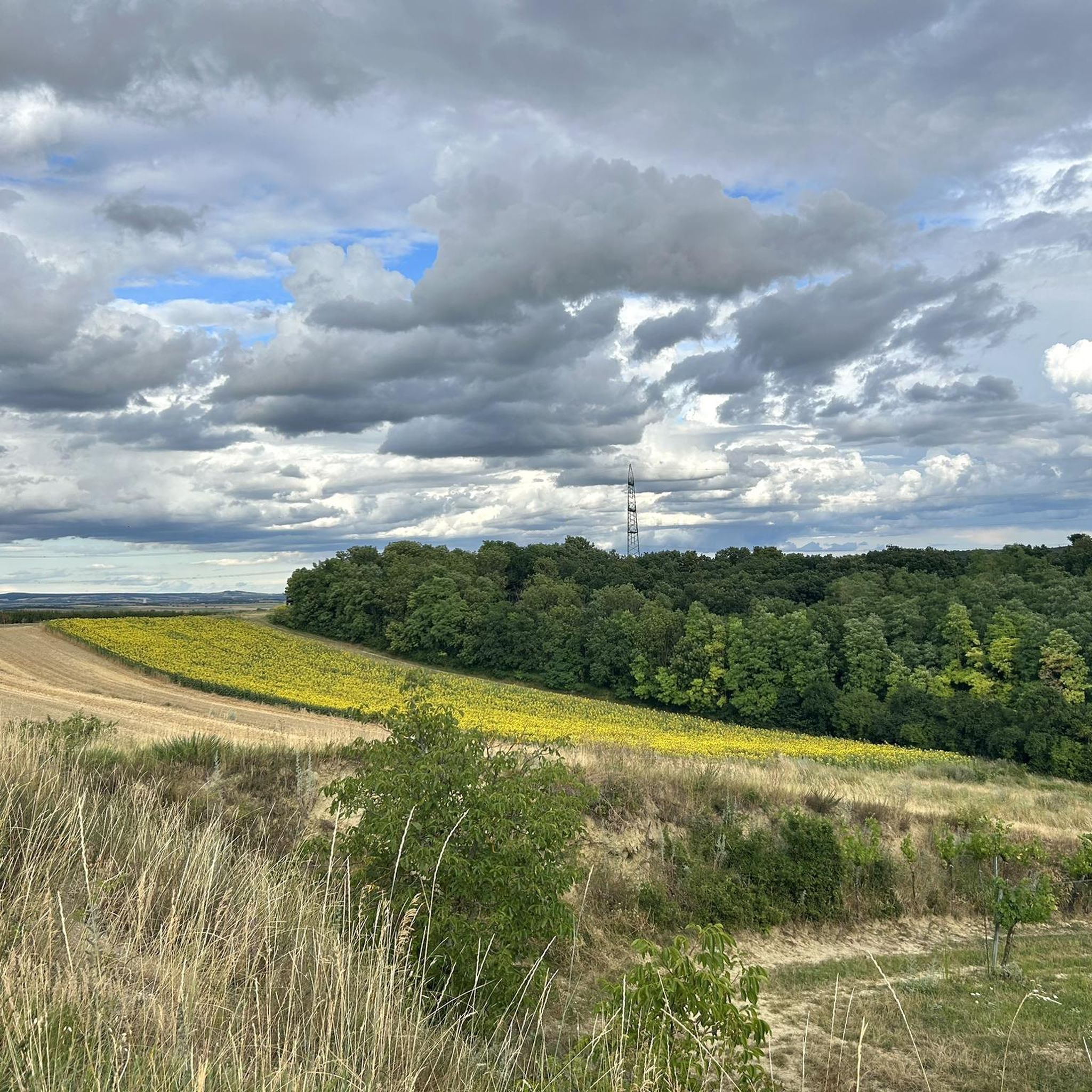
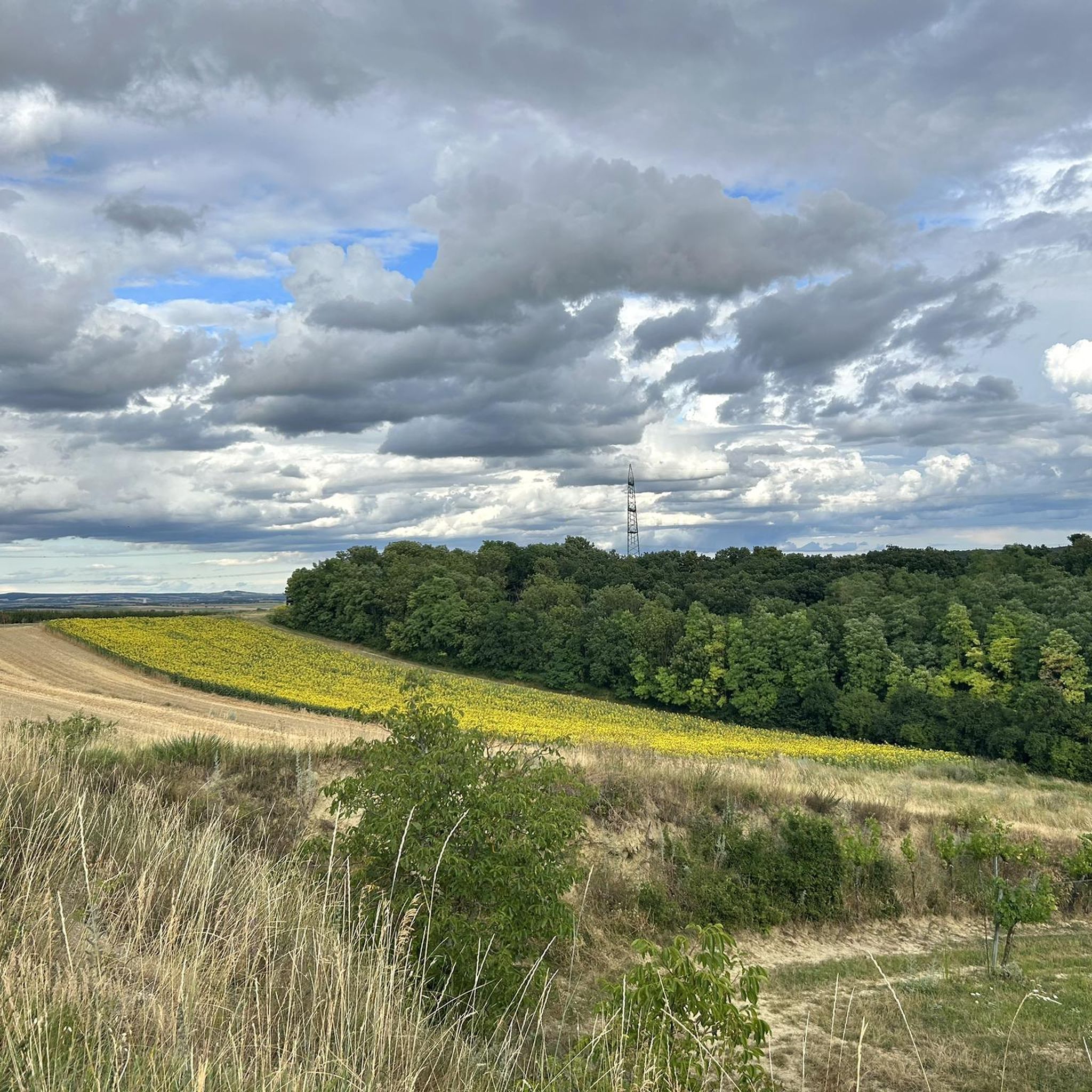
The Friedenskreuz am Goldberg (in some maps also Kogelberg) can only be reached on foot or by mountain bike. The last stretch goes through a small biotope, so it is better to leave the bike where it is. From the cross you have a wonderful view over the southern Weinviertel.
0
0
Frequently Asked Questions
What are the most popular elevated points around Sitzendorf an der Schmida?
The region features several popular elevated points that offer scenic views and recreational opportunities. Among the most appreciated are the Celtic Tower Sandberg, known for its historical significance and panoramic views, and Kogelsteine, a natural monument offering wonderful views of the Weinviertel. Another notable spot is the Summit Cross Goldberg, which provides a magnificent view over the Schmidatal.
Are there family-friendly elevated points or activities in the area?
Yes, the Celtic Tower Sandberg is considered family-friendly. It offers an excellent view and a chance to explore a historical site, being the location of Austria's largest Celtic settlement. The area's rolling hills and agricultural landscapes also provide gentle trails suitable for families to enjoy nature.
What kind of natural features can I expect to see on these elevated points?
You can expect to see rolling hills, agricultural landscapes, and vineyards characteristic of the Weinviertel region. Elevated points like Kogelsteine are natural monuments, and Feldberg offers views over vineyards and unique dry grassland flora due to its granite composition.
Are there historical or cultural sites associated with the elevated points?
Absolutely. The Celtic Tower Sandberg is a significant historical and archaeological site, home to the largest Celtic settlement and oldest mint in Austria. Kogelsteine is also recognized as a historical place, with evidence suggesting ancestors enjoyed the spot. The Summit Cross Goldberg, erected in 1975, is a man-made monument offering panoramic views.
What outdoor activities can I do near the elevated points around Sitzendorf an der Schmida?
The region is well-suited for various outdoor activities. You can find numerous routes for road cycling, general cycling, and running. For example, there are several road cycling routes like the 'Eggenburg town centre – Kellergasse loop' and cycling routes such as the 'Calisthenics Park Ziersdorf – Hollenstein Chapel loop'. Running enthusiasts can explore trails like the 'Retent loop from Röschitz'. You can find more details on these activities in the Road Cycling Routes, Cycling, and Running Trails guides for the area.
What is the best time to visit the elevated points for hiking?
The region's elevated points and trails are enjoyable throughout much of the year. The Summit Cross Goldberg, for instance, offers a magnificent view over the Schmidatal even in winter. Generally, spring and autumn provide pleasant temperatures for hiking, while summer allows for longer daylight hours. The tranquil, picturesque landscape of the western Weinviertel is beautiful in any season.
Are there any challenging hikes or more difficult terrain around Sitzendorf an der Schmida?
While the region is characterized by rolling hills, some elevated points and trails can offer moderate challenges. For example, the hike to Summit Cross Goldberg can have an exhausting final stretch, with mentions of waist-high thistles in some areas. The Kogelsteine and Feldberg are also categorized as intermediate difficulty. Longer hiking routes like the one including Kranberg (12.27 km with 262 meters ascent) offer more extended challenges.
What do visitors enjoy most about the elevated points in Sitzendorf an der Schmida?
Visitors particularly enjoy the wonderful panoramic views of the Weinviertel and Schmidatal from various elevated points. The historical significance of sites like the Celtic Tower Sandberg and Kogelsteine is also a major draw. The tranquil natural landscape, unique flora on places like Feldberg, and the opportunity for peaceful walks through charming villages are frequently highlighted.
Are there specific viewpoints that offer exceptional panoramic views?
Yes, several elevated points are renowned for their views. The Celtic Tower Sandberg offers an excellent view of the surrounding area, including Retz and the Pulkautal. From Kogelsteine, you get a wonderful view of the Weinviertel. The Summit Cross Goldberg provides a magnificent panoramic view over the Schmidatal, and Feldberg offers a beautiful vista over the vineyards of Roggendorf, Klein Jetzelsdorf, and Röschitz.
Can I find facilities or amenities near the elevated points?
At the Celtic Tower Sandberg, there is a 'Celtic drinking fountain' where you can find cooled wine, mineral water, and lemonade for a fee. While specific facilities like cafes or pubs directly on every peak are not common, the trails often pass through charming villages where you can find local amenities.
What are some longer hiking routes that include multiple elevated points?
One notable medium-difficulty hiking trail, approximately 9.62 km long, originates from Sitzendorf an der Schmida and includes both Kasperlberg (358m) and Eulberg (330m). Another longer route, about 12.27 km, features Kranberg (346m) and passes through Frauendorf an der Schmida and Sitzendorf an der Schmida, offering an ascent of 262 meters.
Most popular routes around Sitzendorf an der Schmida
Most popular attractions around Sitzendorf an der Schmida

Get inspired with the komoot mobile app


Explore more
See even more amazing summits around Sitzendorf an der Schmida with these guides:
