The best road cycling routes around Kottgeisering
4.5
(776)
9,352
riders
336
rides
Road cycling around Kottgeisering offers diverse landscapes in the heart of Bavaria, within the district of Fürstenfeldbruck. The region is characterized by scenic routes along the Isar and Amper rivers, expansive Amper meadows, and the ecologically significant Bacherner Moos wetland. Cyclists can experience varied terrain, including field paths and smaller trails, with views of Ammersee and the distant Alpine foothills. This area provides an extensive network of road cycling routes suitable for different preferences.
Best road cycling routes around Kottgeisering
…Last updated: July 6, 2026
4.9
(7)
78
riders
Easy road ride. Great for any fitness level. Mostly well-paved surfaces and easy to ride.
4.3
(3)
24
riders
82.0km
03:36
720m
720m
Moderate road ride. Good fitness required. Mostly well-paved surfaces and easy to ride.

Sign up for free
4.3
(3)
35
riders
26.3km
01:06
190m
190m
Easy road ride. Great for any fitness level. Mostly well-paved surfaces and easy to ride.
3.3
(3)
24
riders
43.5km
01:52
360m
360m
Moderate road ride. Good fitness required. Mostly well-paved surfaces and easy to ride.
3.9
(11)
20
riders
46.9km
01:55
250m
250m
Easy road ride. Great for any fitness level. Mostly well-paved surfaces and easy to ride.
Get access to more routes and recommendations from other explorers.
Sign up for free
Already have an account?
Our route recommendations are based on thousands of hikes, rides, and runs completed by other people on komoot.
Start today with a free account
Your next adventure awaits.
Login or Signup
Tips from the Community


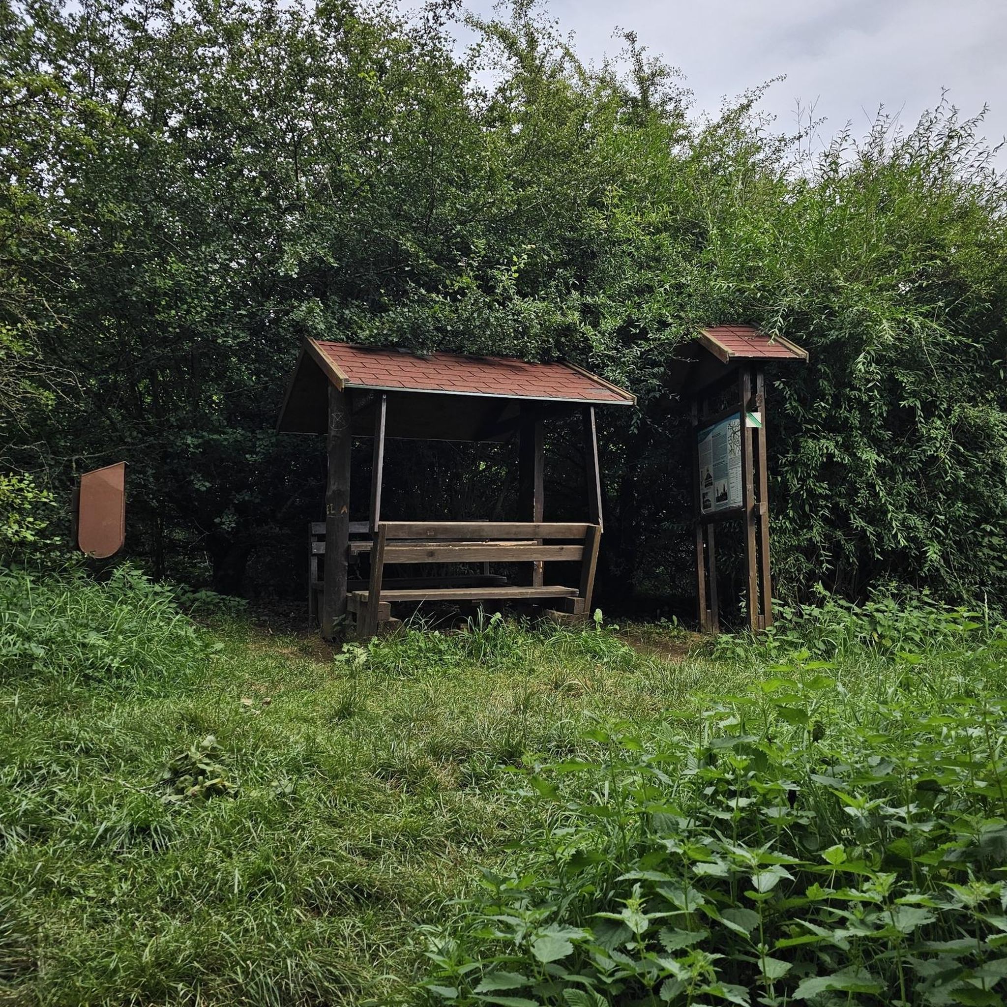
The first pilgrimage church was built as early as 1414 under the Fürstenfeld abbot, Johann II of Bibrach. Why the Cistercians of Fürstenfeld built a church in honor of Saint Willibald is unclear. The Cistercians otherwise promoted the veneration of Saint Leonard. It is likely that Willibald was already being venerated at this site before then. Saint Willibald is the patron saint of animals. In July 1983, director Wolfgang Büld filmed the music video for the punk rock band Die Toten Hosen's single "Eisgekühlter Bommerlunder" in the church. The filming, which took place over a weekend and was described as "quite turbulent," led to excitement and outrage among the residents of Jesenwang and led to the priest re-consecrating the church shortly thereafter. (Wikipedia)
0
0

From Tutzing, a magnificent view opens up of the glittering Lake Starnberg and the majestic Alps in the background.
2
0

Beautiful here, you can see the lake
0
0

Great ice cream, but in good weather a meter-long queue
1
0
Cycle path into Stegen, be careful of the many pedestrians and other traffic. On weekends, it's as busy here as the Oktoberfest.
0
0

The Via Julia Cycle Route runs 312 kilometers from Günzburg to Salzburg. The Via Julia, which has only been called this since 2003, existed as a military road under Emperor Septimius Severus and was an important road connection running from Strasbourg (Argentorum) via Günzburg (Guntia) and Augsburg (Augusta Vindelicum) to Salzburg (Iuvavum). The starting point of the Via Julia is the Roman-influenced town of Günzburg. From there, the historical route begins, with information on Roman history around Guntia, which follows the route of the Roman road, and ends in Salzburg. At that time, Günzburg (Gontia) was one of the most important road junctions in the Roman province of Raetia. The Via Julia Cycle Route runs from Günzburg (Danube) via Augsburg to Salzburg. The signposted cycle route largely follows the original route of the Roman road. The most important places along the cycle route are: Günzburg - Augsburg - Schöngeising - Gauting - Grünwald - Aying - Aschbach - Rosenheim - Söchtenau - Bad Endorf - Breitbrunn - Seebruck - Chieming - Traunstein - Teisendorf - Freilassing Mitterfelden/Siezenheimer Steg - Salzburg.
1
0

Right next to the boat ramp there is a small jetty, from where you have a great view of the jetty and Lake Starnberg
3
0
Frequently Asked Questions
How many road cycling routes are available around Kottgeisering?
Kottgeisering offers an extensive network of over 300 road cycling routes. These routes traverse diverse landscapes, including scenic paths along the Isar and Amper rivers, expansive Amper meadows, and the ecologically significant Bacherner Moos wetland.
What is the best time of year for road cycling in Kottgeisering?
The region around Kottgeisering is particularly inviting for road cycling in spring, with mild temperatures and blooming wildflowers. Autumn also offers vibrant foliage, making it a beautiful time to explore. May is noted as a particularly popular month for cyclists.
Are there easy road cycling routes suitable for beginners or families in Kottgeisering?
Yes, Kottgeisering provides a good selection of easy road cycling routes. For instance, the Ammersee Pier – Ammersee Beach loop from Grafrath is an easy 10.9-mile (17.5 km) trail offering pleasant lakeside views, ideal for a relaxed ride. There are over 120 easy routes in total.
What kind of terrain can I expect on road cycling routes in Kottgeisering?
The terrain around Kottgeisering is varied, encompassing field paths and smaller trails. You'll find routes that lead along river valleys, through expansive meadows, and offer captivating views of the Ammersee, Wörthsee, and the distant Alpine foothills. This variety caters to different cycling preferences.
Are there any challenging road cycling routes for experienced riders?
Absolutely. For more experienced riders seeking a challenge, Kottgeisering offers routes with greater distances and elevation gains. For example, the Wörthsee – Egg vending machine Unering-Hadorf loop from Grafrath is a moderate 50.9-mile (82.0 km) path with significant elevation changes, providing a more demanding ride.
What natural landmarks or scenic areas can I explore while cycling?
Cyclists can enjoy the tranquil stretches along the Amper River, the Amper meadows, and the significant Ampermoos wetland. The Bacherner Moos, described as an 'Eldorado' for nature enthusiasts, is particularly noteworthy for its rich biodiversity. You can also visit the Bacherner Moos Boardwalk or explore the Haspelmoor.
Are there historical or cultural attractions accessible by road bike?
Yes, the region offers several cultural points of interest. You can cycle to the 17th-century Schloss Hohenkammer with its magnificent gardens, or visit historic churches like the 18th-century St. Johannes church. For a longer excursion, Fürstenfeld Abbey and St. Mary's Church, known for their Baroque architecture and beer gardens, are also accessible.
Can I find loop trails for road cycling in Kottgeisering?
Many of the road cycling routes around Kottgeisering are designed as loops, allowing you to start and end at the same point. An example is the St. Willibald Church – Haspelmoor Road loop from Grafrath, a 29.1-mile (46.9 km) trail through the countryside.
What do other road cyclists say about the routes in Kottgeisering?
The road cycling routes in Kottgeisering are highly rated by the komoot community, with an average score of 4.5 stars from over 600 reviews. Cyclists often praise the diverse landscapes, the well-maintained paths, and the scenic views of the lakes and Alpine foothills.
Are there routes that offer views of the Alps or lakes?
Yes, many routes provide captivating views of the Ammersee and Wörthsee, offering pleasant lakeside scenery. Additionally, some routes extend to offer glimpses of the distant Alpine foothills, enhancing the scenic appeal for road cyclists. The Herrsching Pier at Ammersee – Wörthsee loop from Grafrath is a great option for lake views.
Are there any specific routes that showcase the Five Lakes Region?
Yes, you can explore routes that offer views of the broader Five Lakes Region. The View of the Five Lakes Region – Hausen–Kaltenberg Country Road loop from Grafrath is a moderate 62.1-mile (100 km) route designed to highlight this beautiful area.
Most popular routes around Kottgeisering
Most popular attractions around Kottgeisering

Get inspired with the komoot mobile app


Explore more
Browse the best Road cycling routes in other regions.
