The 3 Most Amazing Peaks around Hulland Ward
Best mountain peaks around Hulland Ward are found in a village situated on a ridge within the Derbyshire Dales. While Hulland Ward itself features elevated points rather than traditional mountain peaks, it serves as a gateway to more prominent elevations. The area offers a landscape suitable for walking and enjoying scenic views. For those seeking higher summits, the nearby Peak District National Park provides numerous options.
Best mountain peaks around Hulland Ward
- The most popular mountain peaks is Alport Heights…
Last updated: June 28, 2026
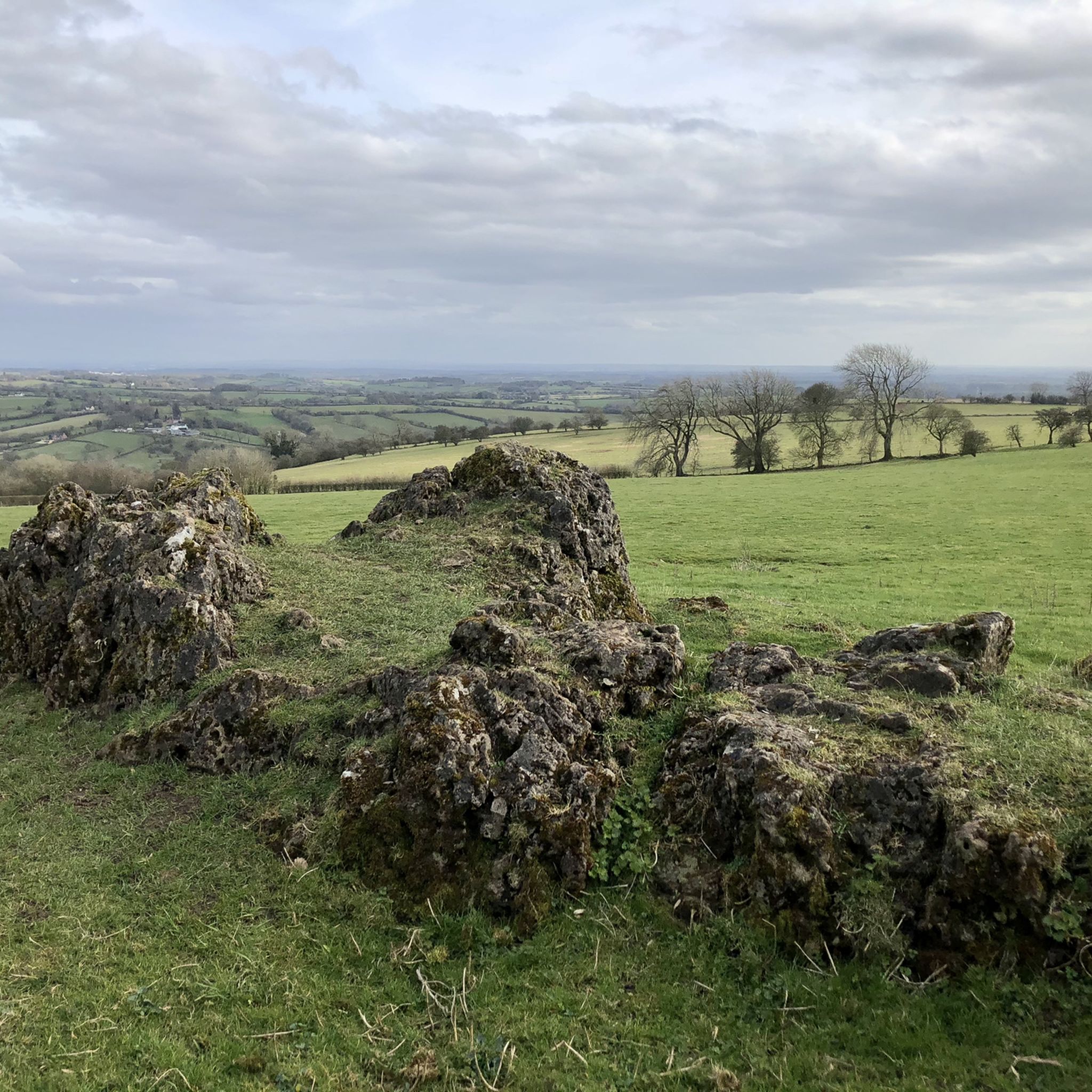
Alport Heights Summit
Highlight • Viewpoint
Tip by

Bolehill Trig Point
Highlight • Monument
Tip by

Sign up now to discover places like this
Get recommendations on the best single tracks, peaks, & plenty of other exciting outdoor places.
Sign up for free
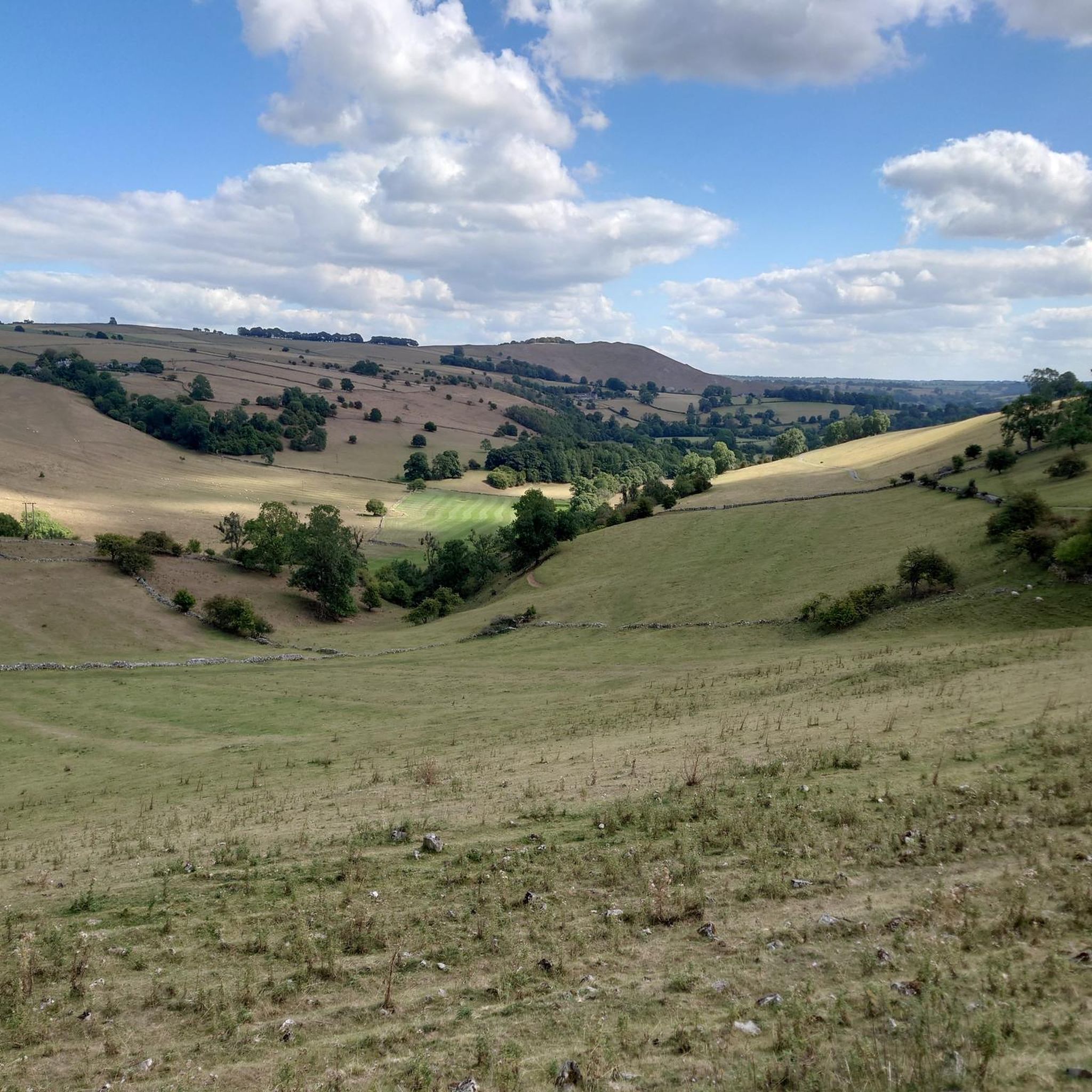
View from Upper Vicars Wood Summit
Highlight • Forest
Tip by
Start today with a free account
Your next adventure awaits.
Login or Signup
Tips from the Community

Alas, the previously awesome views from the trig point are long gone due to tree growth. Today the trig point is a waypoint only; for views head over to Black Rocks.
0
0

Bolehill (Cromford Moor) is 323 metres high and is one of the 95 Ethels (Peak District Hills).
0
0

There are eight transmitter masts visible on the top of the hill (one of them is shorter).
1
0

Car Park has been reopened with an automatic electronic gate that's only open between set times March-Oct 8am - 7pm Nov-Feb 8am - 5pm
0
0

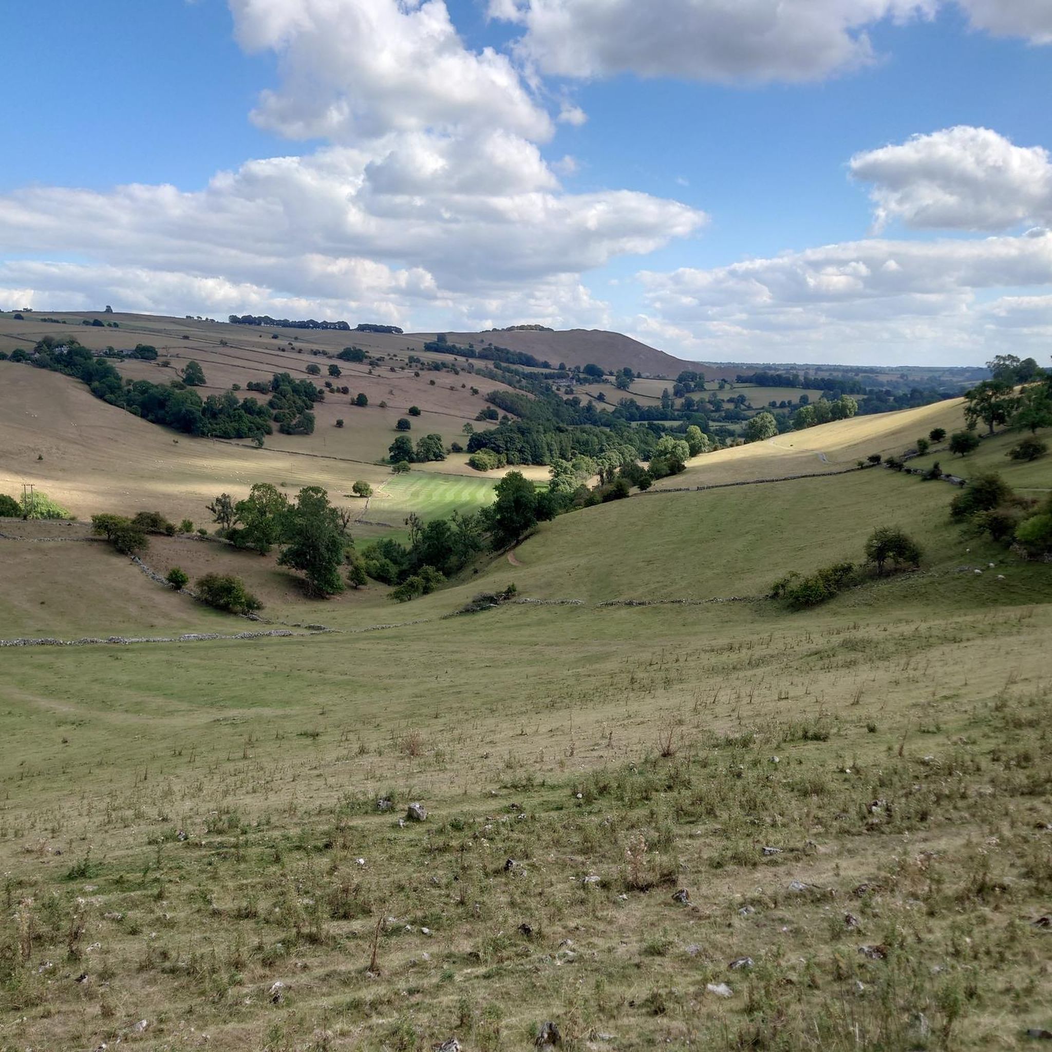
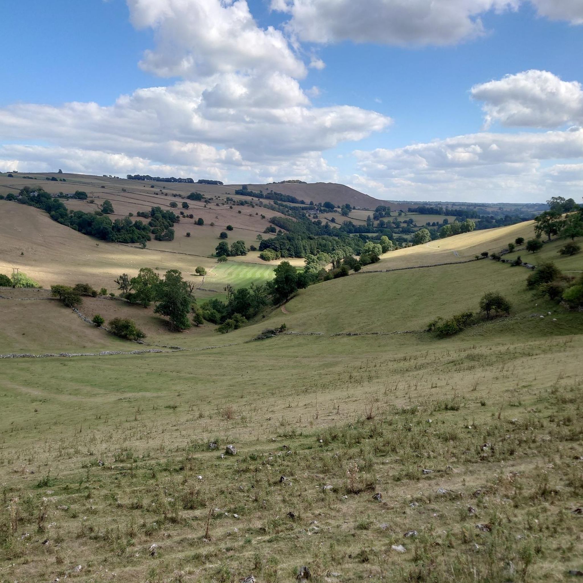
Northwest of Derby the high ground on the edge of Upper Vicars Wood gives amazing views all around. You're at about 394 ft (190 m).
1
0
Bolehill has a trig point at 323m. It's the area of high ground south of Black Rocks and northeast of Wirksworth. There are lots of nice walking trails in the area especially through the Big Plantation and across Cromford Moor.
2
0

The National Trust have now closed the car park (since 2020, still closed in Spring 2022) apparently due to "anti-social behaviour". No car parking nearby but can still be accessed by walkers and, after climbing over a mound of earth, by cyclists.
0
0

Frequently Asked Questions
What kind of elevated points can I explore around Hulland Ward?
While Hulland Ward itself features elevated points rather than traditional mountain peaks, it serves as a gateway to more prominent elevations. You can find viewpoints, trig points, and forest summits within the immediate area. For higher summits and more challenging terrain, the nearby Peak District National Park offers numerous options, including well-known peaks like Kinder Scout.
What are the most popular elevated points near Hulland Ward?
The komoot community highly rates several spots. Alport Heights Summit is particularly popular, known as the highest point in the local area and offering panoramic views. Another favorite is Bolehill Trig Point, a man-made monument at 323 meters with walking trails through Big Plantation and across Cromford Moor.
Are there family-friendly elevated points or walks around Hulland Ward?
Yes, Alport Heights Summit is considered family-friendly. It's a rewarding point to aim for, managed by the National Trust, with views all around. The area generally offers a landscape suitable for walking and enjoying scenic views, with many paths being easily accessible.
What natural features can I expect to see from these elevated points?
From elevated points like Alport Heights Summit, you can expect panoramic views of the surrounding Derbyshire countryside. View from Upper Vicars Wood Summit, located northwest of Derby, also provides expansive views from its high ground within a forest setting.
What outdoor activities can I do near Hulland Ward's elevated points?
The area around Hulland Ward is excellent for various outdoor activities. You can find numerous routes for cycling, gravel biking, and running. For example, there are cycling routes like the 'Carsington Water – Tissington Village loop' and running trails around Carsington Water. You can explore more options on the Cycling around Hulland Ward, Gravel biking around Hulland Ward, and Running Trails around Hulland Ward guide pages.
Are there specific hiking trails associated with the elevated points?
Yes, for instance, around Bolehill Trig Point, there are many walking trails, especially through the Big Plantation and across Cromford Moor. The region research also mentions a moderate 10.7 km loop walk around Madge Hill Trig Point, offering pleasant conditions and panoramic views.
What is the terrain and elevation like for walks around Hulland Ward?
Hulland Ward is situated on a ridge, offering a hilly landscape. Elevations within the village itself are around 248 meters (813 feet). Features like Madge Hill Trig Point are at 240 meters, while Bolehill Trig Point reaches 323 meters. The terrain is generally well-suited for walking, with easily accessible paths for moderate hikes.
What is the best time to visit Hulland Ward for walking and exploring elevated points?
The area is generally pleasant for walking. While specific seasonal advice isn't provided, the Derbyshire Dales and Peak District are enjoyable in spring, summer, and autumn for their scenic beauty. Winter conditions in the wider Peak District can be more challenging, especially at higher elevations like Kinder Scout, so preparation is key.
How accessible are the elevated points around Hulland Ward by public transport?
Information on specific public transport routes to trailheads is not detailed. However, Hulland Ward is a village in the Derbyshire Dales, and local bus services typically connect such villages. For detailed planning, it's advisable to check local bus schedules for routes serving Hulland Ward and nearby trail access points.
Where can I find parking for walks near Hulland Ward's elevated points?
While specific parking locations for each elevated point are not listed, many trailheads and popular walking areas in the Derbyshire Dales often have designated parking facilities. For routes starting from Hulland Ward, you may find parking within the village or at common starting points for local walks.
What makes the Peak District National Park a good option for more challenging peaks near Hulland Ward?
The Peak District National Park, adjacent to Hulland Ward, is renowned for its diverse landscapes, including gritstone moors and limestone valleys. It offers numerous higher hills and summits, such as Kinder Scout (636 meters), providing opportunities for more strenuous uphill routes and expansive views compared to the gentler elevations directly around Hulland Ward.
Most popular attractions around Hulland Ward

Get inspired with the komoot mobile app


Explore more
See even more amazing summits around Hulland Ward with these guides:
