The 10 Most Amazing Peaks around Cymer And Glyncorrwg
Best mountain peaks around Cymer And Glyncorrwg are found within the Afan Valley in South Wales, an area characterized by rolling hills and dense woodlands. This landscape, shaped by its industrial past, provides a network of trails and notable hills. The region offers engaging outdoor experiences and panoramic views over forested valleys and river systems. Many routes follow former railway lines, adding historical context to outdoor activities.
Best mountain peaks around Cymer And Glyncorrwg
- The most popular mountain peaks is…
Last updated: June 30, 2026
Hirfynydd Trig Point
Highlight • Viewpoint
Tip by

Moel Penderyn Trig Point
Highlight • Natural Monument
Translated by Google •
Tip by
Sign up now to discover places like this
Get recommendations on the best single tracks, peaks, & plenty of other exciting outdoor places.
Sign up for free
Craig y Llyn Summit
Highlight • Summit
Tip by
Moel Darran Trig Point
Highlight • Summit
Tip by
Werfa (Mynydd Llangeinwyr) – County High Point 568 m
Highlight • Summit
Tip by
Sign up for free to discover even more peaks around Cymer And Glyncorrwg.
Sign up for free
Already have an account?
Start today with a free account
Your next adventure awaits.
Login or Signup
Popular around Cymer And Glyncorrwg

Gravel bike in the UK's wildest landscapes with Wild Cycles
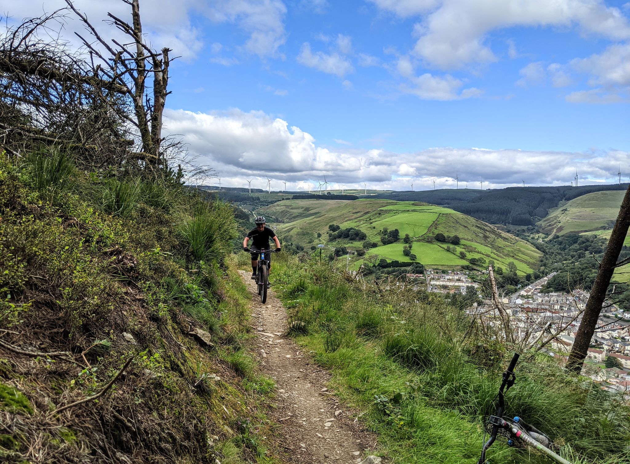
Mountain biking trails of the Afan Valley
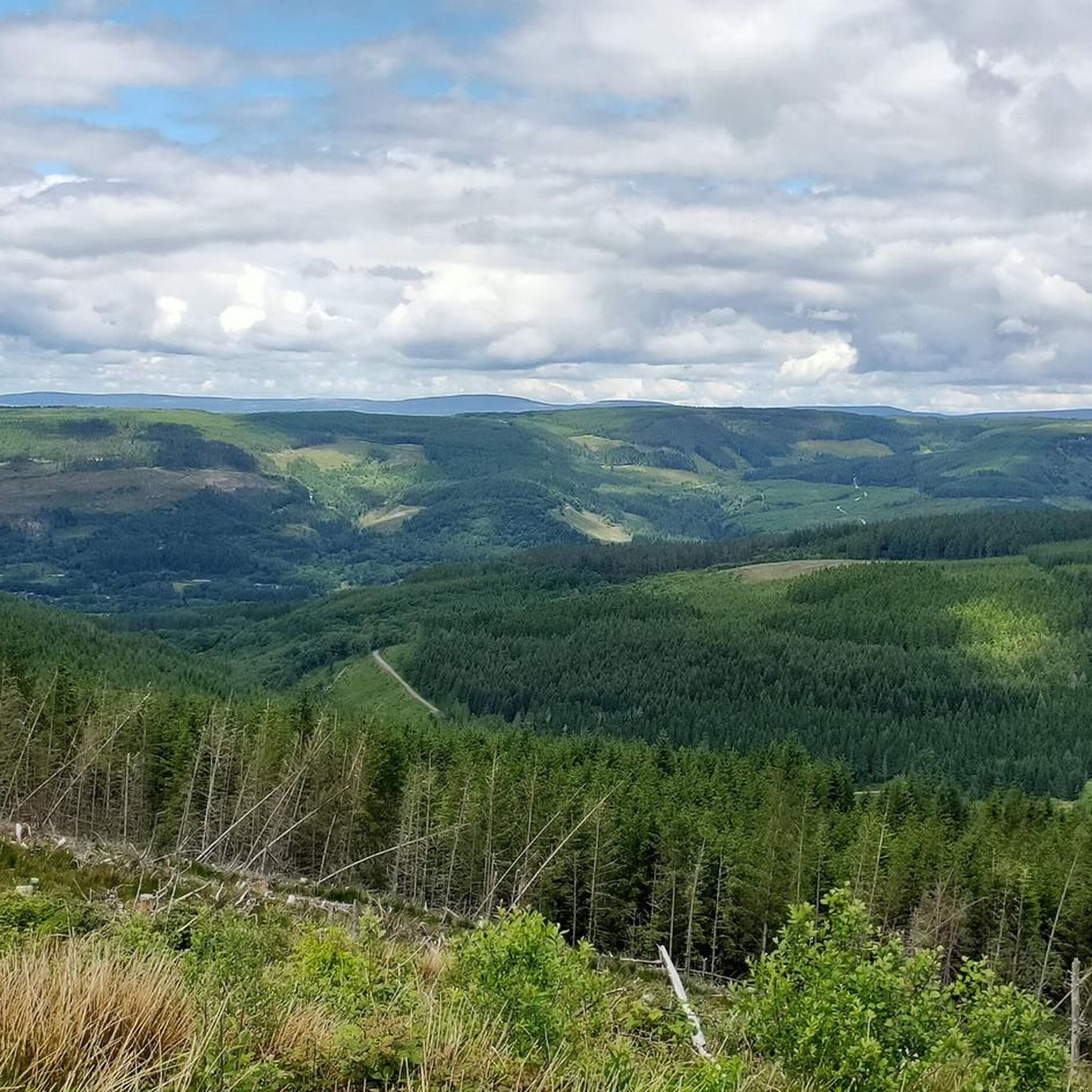
MTB Trails around Cymer And Glyncorrwg
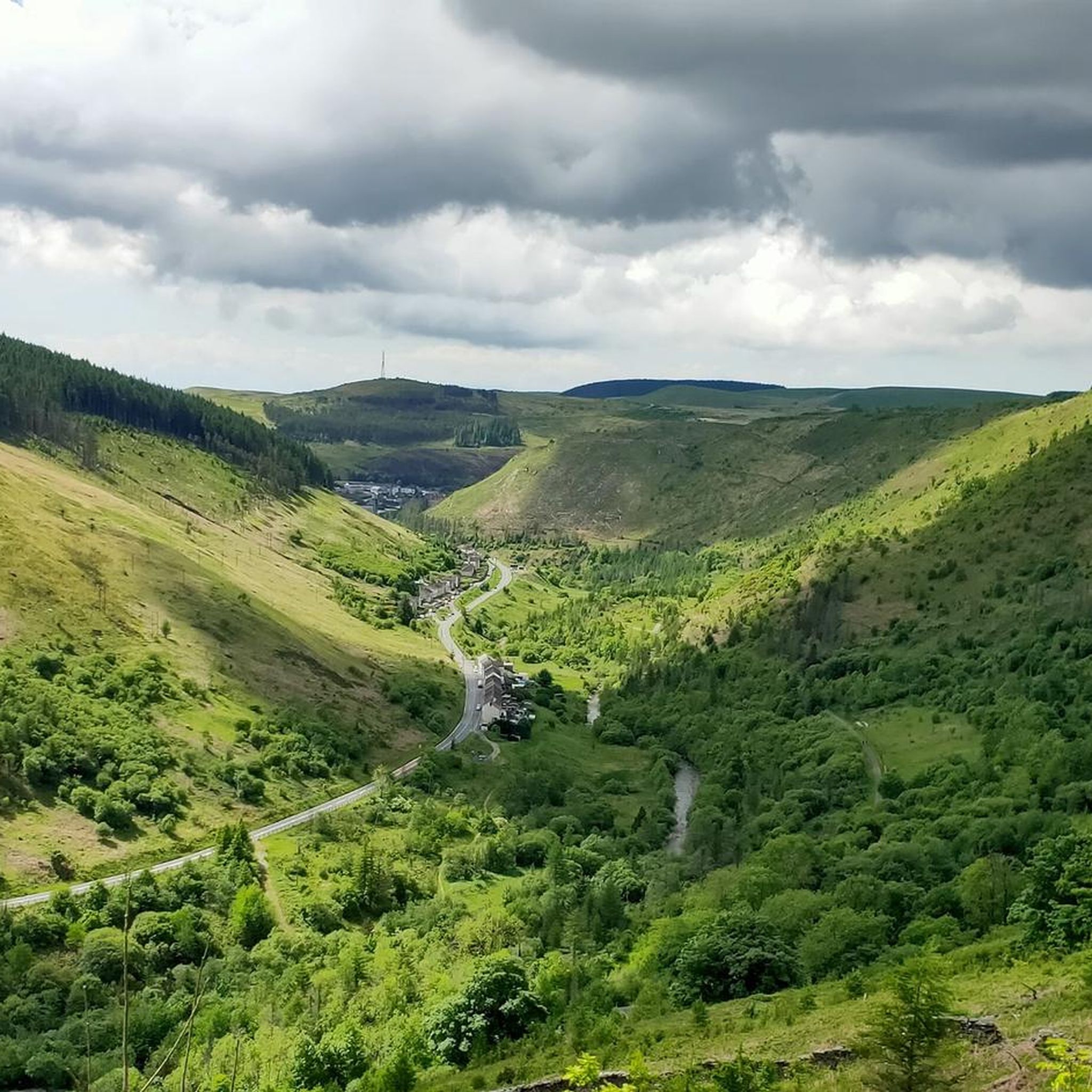
Cycling around Cymer And Glyncorrwg
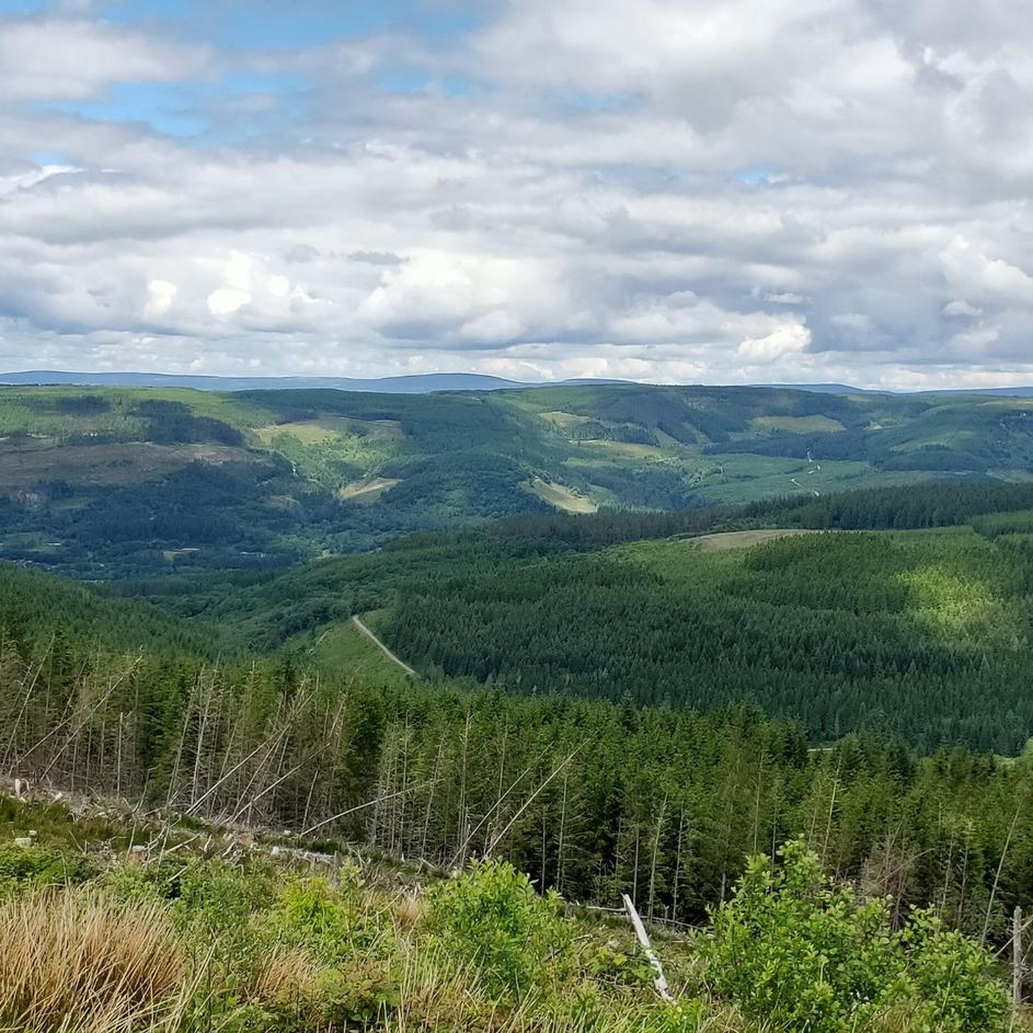
Hiking around Cymer And Glyncorrwg
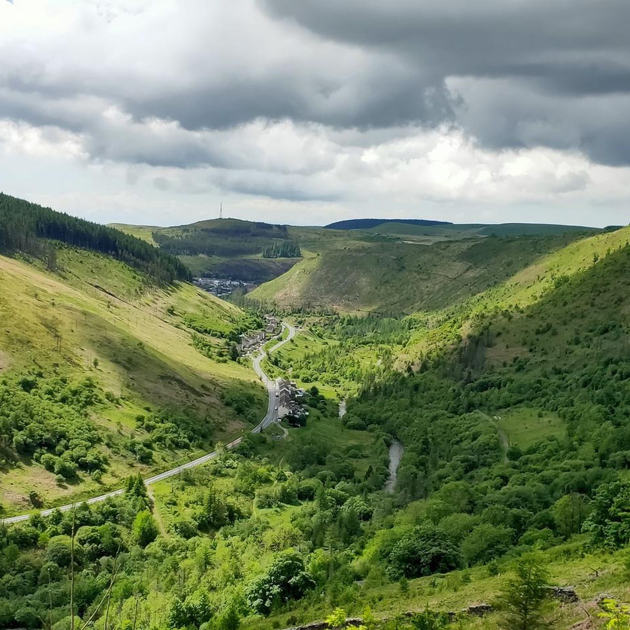
Running Trails around Cymer And Glyncorrwg

Gravel biking around Cymer And Glyncorrwg
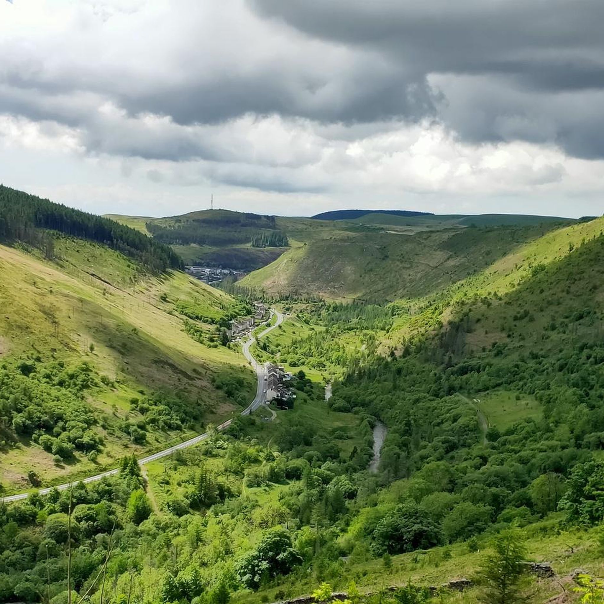
Road Cycling Routes around Cymer And Glyncorrwg
Other adventures around Cymer And Glyncorrwg


Tips from the Community

Werfa (Llangeinwyr Mountain) 568m P88 (1863ft) TP0732 - Llangeinor 11883 Welsh Dewey and Dodd summit Welsh Trig Pillar
2
0

Moel Penderyn 371m ⛰️ Moel Penderyn is on the edge of Penderyn village, located in the Brecon Beacons National Park county borough of Rhondda Cynon Taff, South Wales. It also appeared to be named as 'Y Foel Penderyn' on older maps. With a summit elevation of only 371m in height, Moel Penderyn is marked by a bright, vivid, beautiful Dragonised trig point!!❤️👌
1
0

When you go in search of the trig point it's just off the Sarn Helen in amongst a small group of trees. Look carefully and you e will see a path leading to it.
1
0

Moel Darran 229m is a trig pointed peak in Dyffryn Clydach, Neath Port Talbot, Wales at grid reference SS723982.
1
0
Hirfynydd is a hill in Neath Port Talbot county, South Wales. A UK-listed Marilyn, it stands at 1,579 feet (481 m). Sarn Helen, a Roman road, runs along its entire northeast–southwest ridge. The ancient route is now a byway. To its west is Cwm Dulais and to its southeast is the Vale of Neath. The northern end of the ridge falls away to a broad upland vale containing the Afon Pyrddin and the Brecon Beacons beyond.
2
0
Moel Penderyn is a hill on the edge of Penderyn village, in the Brecon Beacons National Park in the county borough of Rhondda Cynon Taff, South Wales. It also appeared on older maps as 'Y Foel Penderyn'. Its summit at 371m is marked by a trig point. Moel Penderyn is in the Dyffrynnoedd Nedd a Mellte, and Moel Penderyn biological and geological Site of Special Scientific Interest.
3
0
Craig y Llyn is a mountain situated to the south of the village of Rhigos on the south side of the upper Vale of Neath and north of the Rhondda Valleys in South Wales; it is the highest point in the traditional county of Glamorgan, and the South Wales Valleys. It is a UK listed Marilyn.
2
0
Werfa is the highest point in Bridgend and is located just off the A4107 a few miles east of Cymmer.
3
0
Frequently Asked Questions
What are some of the most notable peaks to visit in Cymer and Glyncorrwg?
While not featuring towering mountains, the area offers several notable hills and trig points with panoramic views. Some popular choices include Hirfynydd Trig Point, known for the ancient Roman road Sarn Helen, and Moel Penderyn Trig Point, located within the Brecon Beacons National Park and part of a Site of Special Scientific Interest.
Which peak offers the best panoramic views of the region?
Many of the peaks and hills in Cymer and Glyncorrwg provide excellent viewpoints. Hirfynydd Trig Point, for example, offers views over Cwm Dulais, the Vale of Neath, and even the distant Brecon Beacons on a clear day. The prominence of Werfa (Mynydd Llangeinwyr) also provides expansive views of the surrounding area.
Are there any historical sites or features to explore on the mountain peaks?
Yes, the region's industrial past is evident in many areas. For instance, the ancient Roman road, Sarn Helen, runs along the ridge of Hirfynydd Trig Point, now serving as a byway. Many trails also follow former railway lines and pass by historical ruins, adding a layer of historical exploration to your outdoor activities.
What kind of natural habitats and wildlife can I expect to see?
The area's diverse landscape, including conifer plantations, former colliery spoil heaps, and upland bogs, creates interesting habitats. You might spot various bird species like Goshawk and Crossbill, and plants such as Stag's-horn clubmoss. The rivers and tributaries are also important for wildlife like Otter, Dipper, and Kingfisher.
What outdoor activities can I do near these mountain peaks?
The Afan Valley, encompassing Cymer and Glyncorrwg, is a significant destination for both hiking and mountain biking. You can find extensive networks of trails for various fitness levels. For running, explore routes like the 'Old Chapel Ruins – Afan Forest Trails loop' from Afan Forest Mining museum. For cycling, consider the 'Hokey Kokey Trail (Blade Loop)' from Glyncorrwg. Mountain bikers can tackle challenging routes like the 'W2 Black loop'. You can find more details on these activities in the Running Trails, Cycling, and MTB Trails guides for the area.
Are there family-friendly walks or easy hikes around Cymer and Glyncorrwg?
Yes, the Afan Valley offers a diverse trail network with options for various fitness levels, including easier riverside walks. While specific family-friendly mountain peaks aren't highlighted, the general trail network includes routes suitable for families. For example, the 'Afan Kids' MTB Skills Area – Afan Argoed Bridge loop' is an easy cycling route, and there are moderate running routes like the 'Old Chapel Ruins loop from Pont-rhyd-y-fen'.
Which peak is the highest point in Bridgend?
Werfa (Mynydd Llangeinwyr) is the highest point in Bridgend, reaching an elevation of 568 meters. It is situated a few miles east of Cymmer, just off the A4107, and offers expansive views.
What makes Moel Penderyn Trig Point unique?
Moel Penderyn Trig Point is unique because it's located on the edge of Penderyn village within the Brecon Beacons National Park. Its summit is marked by a trig point at 371 meters, and it's part of the Dyffrynnoedd Nedd a Mellte, and Moel Penderyn biological and geological Site of Special Scientific Interest, highlighting its natural heritage.
Is Mynydd Marchywel worth visiting, and what are its features?
Mynydd Marchywel is a 417-meter-high hill in the Neath Port Talbot area, marked by both a cairn and a trig point. While much of the hill is covered in modern forestry, numerous streams flow from it into the River Tawe, River Dulais, and River Neath, contributing to the area's natural beauty. It is also a UK-listed Marilyn.
Where can I find visitor facilities and information in the area?
The Afan Forest Park serves as a central hub and is easily accessible. Visitor centers and mountain bike centers, such as the one in Glyncorrwg, provide facilities and information for visitors, making it a convenient starting point for many trails.
What is the best time to visit Cymer and Glyncorrwg for outdoor activities?
The region offers engaging outdoor experiences throughout the year. Spring and autumn provide pleasant temperatures and beautiful scenery, ideal for hiking and cycling. Summer is great for longer days and exploring the extensive trail network. Even in winter, many trails remain accessible, offering a different, often quieter, perspective of the landscape.
Are there any specific trails recommended for mountain biking?
Yes, the Afan Valley is renowned for its mountain biking. Popular trails include the Skyline and White's Level trails. You can find detailed routes and difficulty levels in the MTB Trails around Cymer And Glyncorrwg guide, such as the 'Blade Red Trail' from Glyncorrwg or the 'W2 Black loop'.
Most popular routes around Cymer And Glyncorrwg
Most popular attractions around Cymer And Glyncorrwg

Get inspired with the komoot mobile app


Explore more
See even more amazing summits around Cymer And Glyncorrwg with these guides:
