The 8 Most Amazing Peaks around Cwm Clydach
Mountain peaks around Cwm Clydach offer a diverse landscape shaped by nature and industrial heritage, featuring elevated areas and hills that provide extensive views. The region encompasses both the Cwm Clydach in Rhondda Cynon Taf and the Clydach Gorge in Monmouthshire. These areas are characterized by open moorland, forestry, and river valleys. Visitors can explore locations with significant historical context, including industrial ruins and ancient archaeological sites.
Best mountain peaks around Cwm Clydach
- The most popular mountain peaks is Twyn…
Last updated: June 30, 2026
Twyn Brynbychan Trig Point
Highlight • Natural Monument
Tip by

Mynydd y Glyn Summit
Highlight • Summit
It is the mountain …
Tip by

Sign up now to discover places like this
Get recommendations on the best single tracks, peaks, & plenty of other exciting outdoor places.
Sign up for free
Werfa (Mynydd Llangeinwyr) – County High Point 568 m
Highlight • Summit
Tip by
Twyn Crugyrafan (Graig Fawr) Summit
Highlight • Summit
TP7409 - Crug Yr Afan S1596
Welsh Dewey and Dodd summit
Welsh Trig Pillar
Translated by Google •
Tip by

Mynydd Caerau Summit
Highlight • Summit
TP5005 - Mynydd Caerau 11941
Welsh Dewey and Dodd summit
Welsh Trig Pillar
Translated by Google •
Tip by
Sign up for free to discover even more peaks around Cwm Clydach.
Sign up for free
Already have an account?
Start today with a free account
Your next adventure awaits.
Login or Signup
Tips from the Community

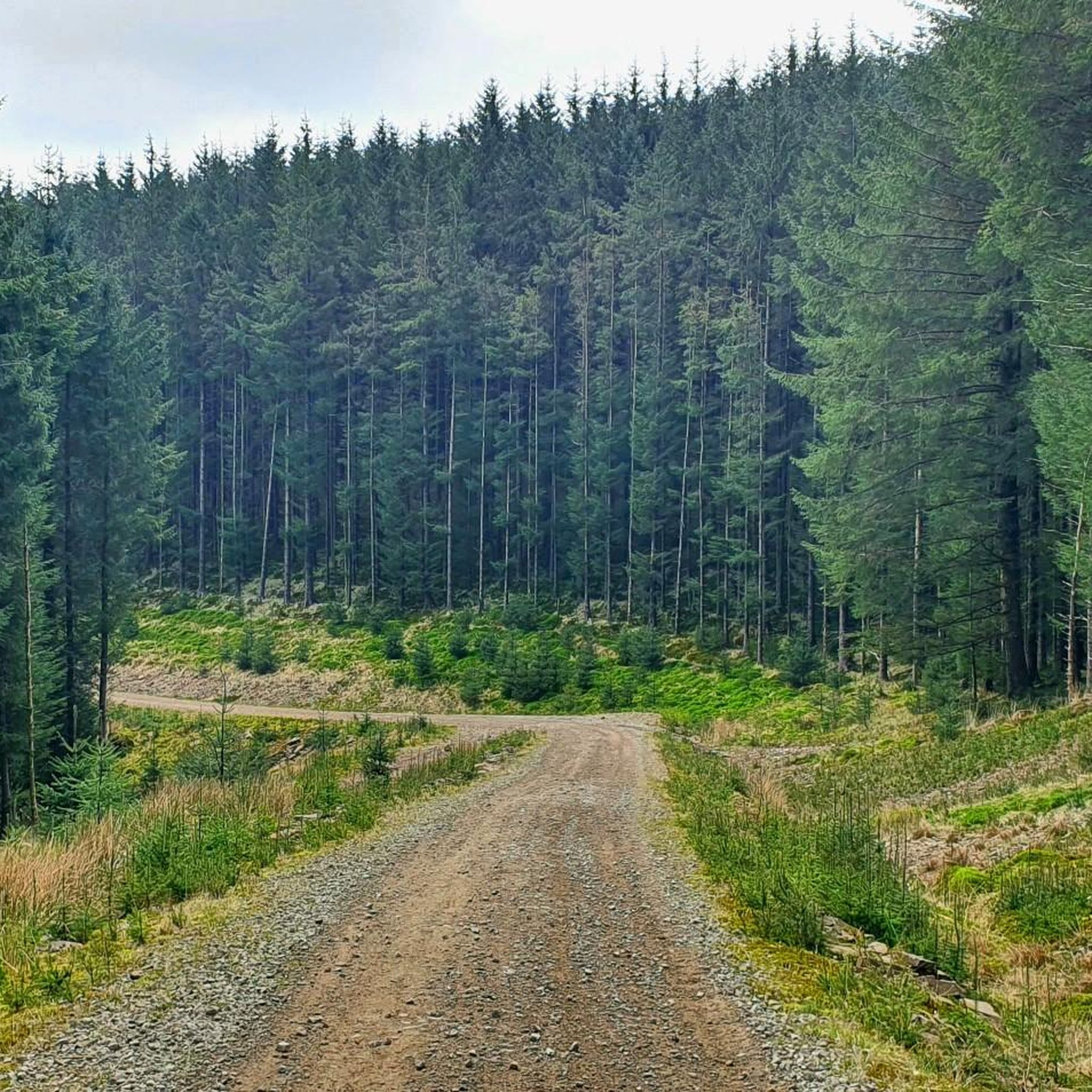
Mynydd Caerau 555.3m 89.9 (1822ft) TP5005 - Mynydd Caerau 11941 Welsh Dewey and Dodd summit Welsh Trig Pillar
1
0
Werfa (Llangeinwyr Mountain) 568m P88 (1863ft) TP0732 - Llangeinor 11883 Welsh Dewey and Dodd summit Welsh Trig Pillar
2
0
Twyn Crugyrafan (Graig Fawr) 559m P36 (1834ft) TP7409 - Crug Yr Afan S1596 Welsh Dewey and Dodd summit Welsh Trig Pillar
1
0

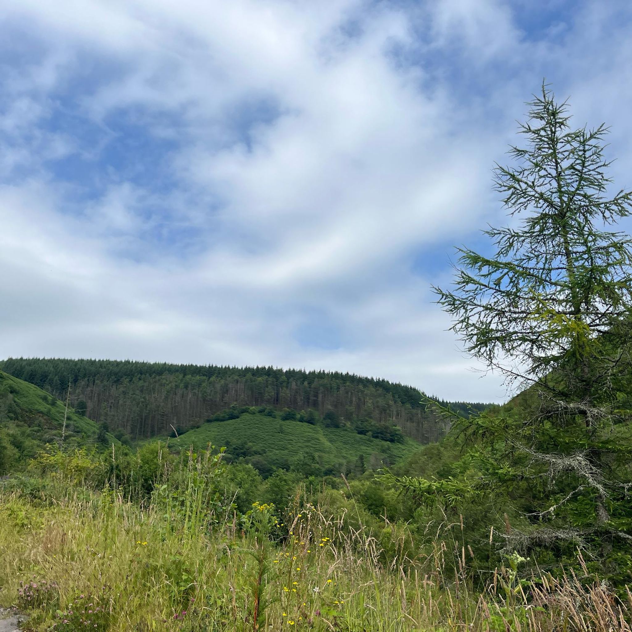
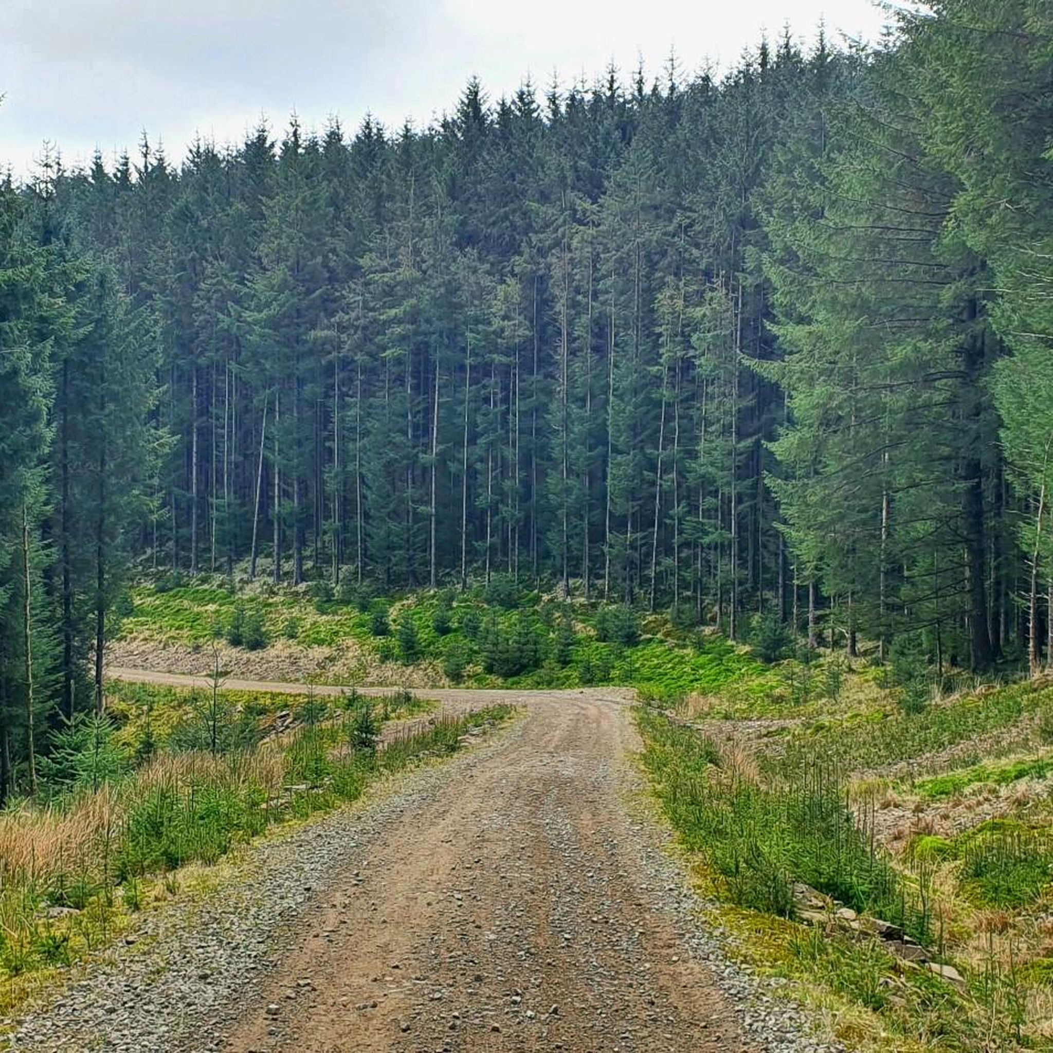
We walked miles. Up to the waterfall on Gillies trail, followed the path up onto the rocky and then to the trig point on Twyn Brynbychan, above the cynnon valleys. Enjoyed a breather on top, before trekking around the back forestry where you can see Aberfan and Merthyr Vale and headed over to the bronze age sight before descending down to Cwmaman and back to the car.
1
0

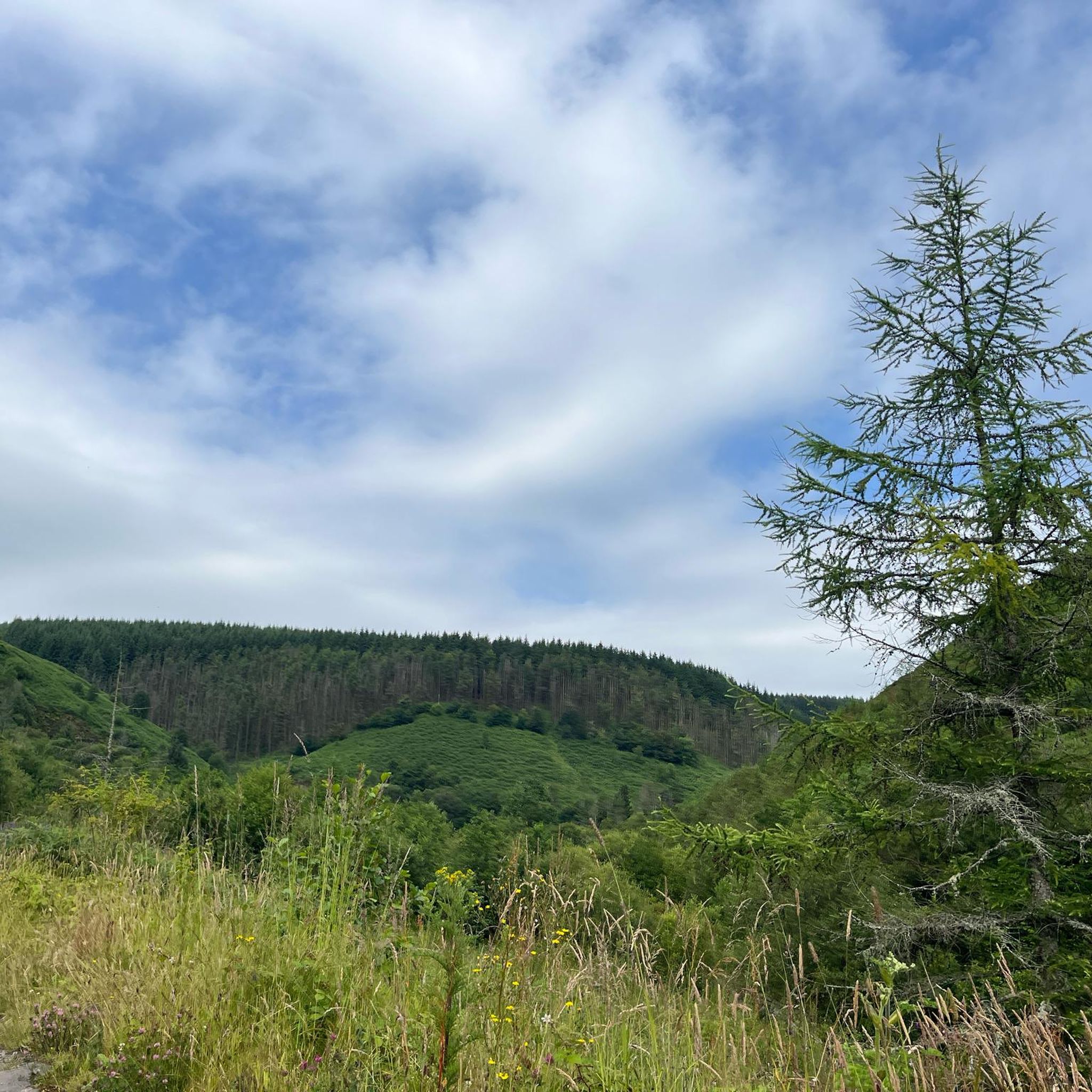
Mynydd y Glyn is a mountain in South Wales, between the towns of Pontypridd and Tonyrefail. It has a height above sea level of 377 metres. It is the mountain which was used in The Englishman who went up a Hill and came down a Mountain in which Hugh Grant and Ian McNeice star as English cartographers. In the film the mountain is known as 'Ffynnon Garw'. It is a UK listed Marilyn.
4
0
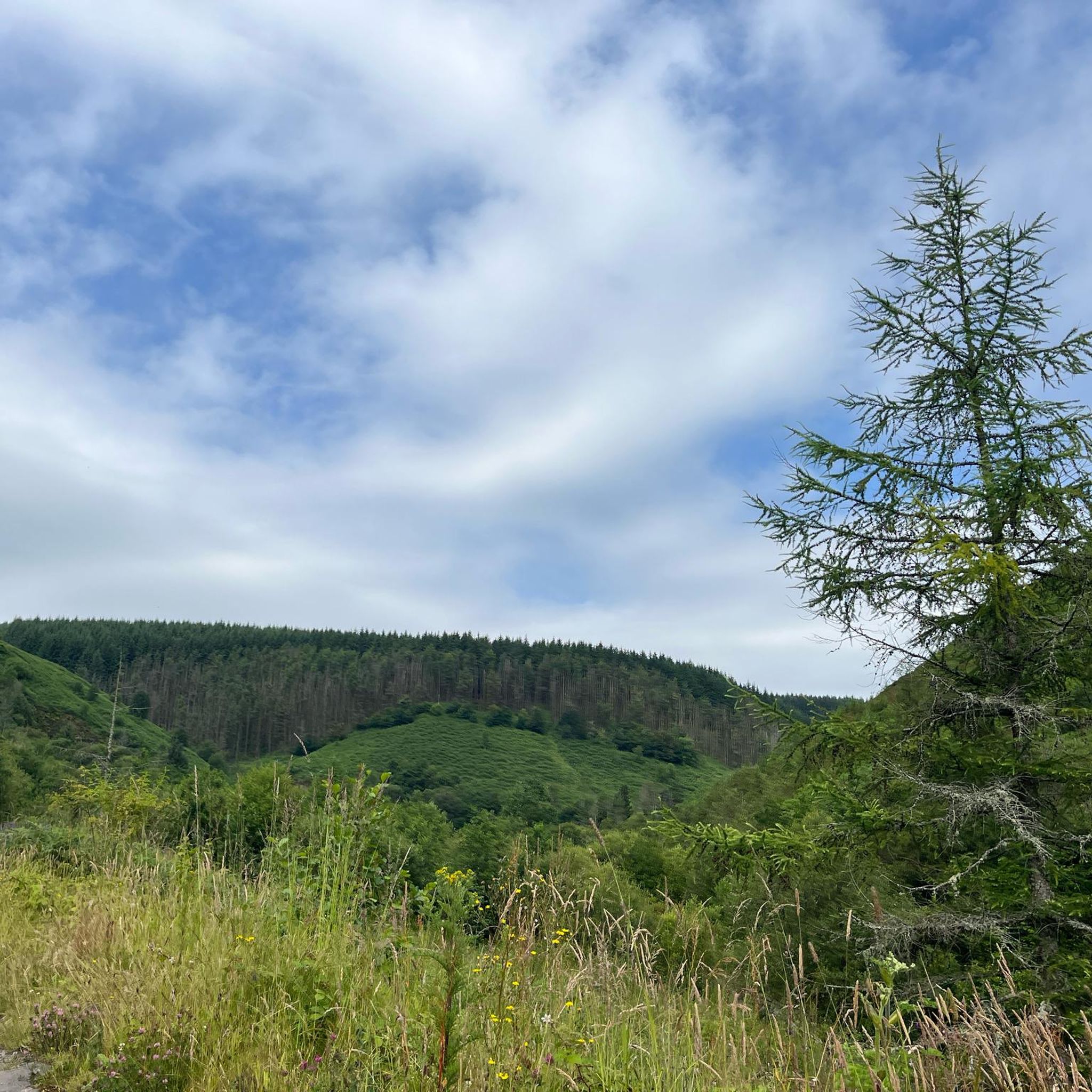
Werfa is the highest point in Bridgend and is located just off the A4107 a few miles east of Cymmer.
3
0
Frequently Asked Questions
What are some notable elevated areas or viewpoints in Cwm Clydach?
Cwm Clydach offers several elevated areas and viewpoints. In Rhondda Cynon Taf, you can explore Mynydd Gelliwastad and Gellionen Mountain, which provide panoramic views over the Swansea Valley and towards the Brecon Beacons. Another significant spot is Twyn Brynbychan Trig Point, offering views over the Cynon valleys. In Monmouthshire's Clydach Gorge, the distinctive rock formation known as The Lonely Shepherd provides impressive views over the Usk Valley.
Are there historical sites or industrial heritage to explore on these peaks?
Yes, the elevated areas around Cwm Clydach are rich in history. Mynydd Carnllechart features ruins of old coal workings and Bronze Age archaeological sites, including a large stone circle. Gellionen Mountain is home to the historic Gellionnen Chapel, built in 1692. Additionally, Mynydd y Glyn Summit is known for its role in the film 'The Englishman who went up a Hill and came down a Mountain'.
What kind of views can I expect from the mountain peaks around Cwm Clydach?
From the elevated areas of Cwm Clydach, you can expect diverse and expansive views. Locations like Mynydd Gelliwastad offer panoramic vistas across the Swansea Valley, extending north towards the Brecon Beacons and south towards Swansea Bay. The Lonely Shepherd viewpoint provides impressive sights looking down over the Usk Valley. Many spots, such as Twyn Brynbychan Trig Point, offer sweeping views over the surrounding valleys and forestry.
What kind of hiking trails are available near the Cwm Clydach peaks?
The Cwm Clydach area offers a variety of hiking trails. For easy walks, you can explore routes like the Clydach Lakes loop in Cwm Clydach Countryside Park or the View of Ogmore Valley loop. More moderate options include the Cambrian Colliery Memorial to Top Lake loop. You can find more details and routes on the Hiking around Cwm Clydach guide page.
Are there easy walks suitable for beginners or families around Cwm Clydach?
Yes, there are several easy walks suitable for beginners and families. The Easy hikes around Cwm Clydach guide features routes such as the Clydach Lakes loop in Cwm Clydach Countryside Park and the Cwm Clydach Stream loop from Tonypandy, which are generally considered easy and accessible.
What is the typical terrain like on walks around Cwm Clydach's elevated areas?
The terrain around Cwm Clydach's elevated areas is varied. You can expect to traverse open moorland, fields, and forestry paths. Some areas, particularly in the gorges, may feature potentially muddy paths. Ascents to viewpoints can be steep but are often rewarded with breathtaking views.
What is the highest point in the Bridgend area near Cwm Clydach?
The highest point in the Bridgend area is Werfa (Mynydd Llangeinwyr), which stands at 568 meters. It is recognized as a Welsh Dewey and Dodd summit and is located a few miles east of Cymmer.
Can I find dog-friendly trails in the Cwm Clydach area?
Many of the trails and open spaces around Cwm Clydach are suitable for dog walking, offering varied terrain and scenic views. It's always advisable to keep dogs under control, especially in areas with livestock or near wildlife, and to check local signage for any specific restrictions.
Where can I find more information about the Clydach Gorge area in Monmouthshire?
For more detailed information about the Clydach Gorge, including its natural features and historical significance, you can visit the Visit Monmouthshire website. This resource provides additional context on this dramatic wooded gorge.
Are there other significant summits in the Cwm Clydach region?
Beyond the most popular spots, the Cwm Clydach region features other significant summits. These include Twyn Crugyrafan (Graig Fawr) Summit, standing at 559 meters, and Mynydd Caerau Summit, with an elevation of 555.3 meters. Both are recognized as Welsh Dewey and Dodd summits.
What is the best time to visit the Cwm Clydach peaks for walking?
The Cwm Clydach peaks can be enjoyed throughout the year, but spring and autumn often offer the most pleasant conditions for walking, with milder temperatures and beautiful seasonal colors. Summer provides longer daylight hours, while winter walks can be rewarding with crisp air and clear views, though paths may be muddy or icy.
Most popular routes around Cwm Clydach
Most popular attractions around Cwm Clydach

Get inspired with the komoot mobile app


Explore more
See even more amazing summits around Cwm Clydach with these guides:
