The 6 Most Amazing Peaks around West Ayton
Best mountain peaks around West Ayton are found within the gently rolling Tabular Hills and the southern edge of the North York Moors National Park. This geographical location provides access to elevated natural features and scenic areas that offer rewarding hiking experiences. The region features distinctive flat-topped hills, ancient woodlands, and various viewpoints. These areas provide diverse landscapes for exploration and offer impressive views.
Best mountain peaks around West Ayton
- The most popular mountain peaks is Roger Trod Viewpoint,…
Last updated: June 30, 2026
Dalby Forest Crossroads Rest Area
Highlight • Forest
Tip by

Roger Trod Viewpoint
Highlight • Trail
Tip by

Sign up now to discover places like this
Get recommendations on the best single tracks, peaks, & plenty of other exciting outdoor places.
Sign up for free
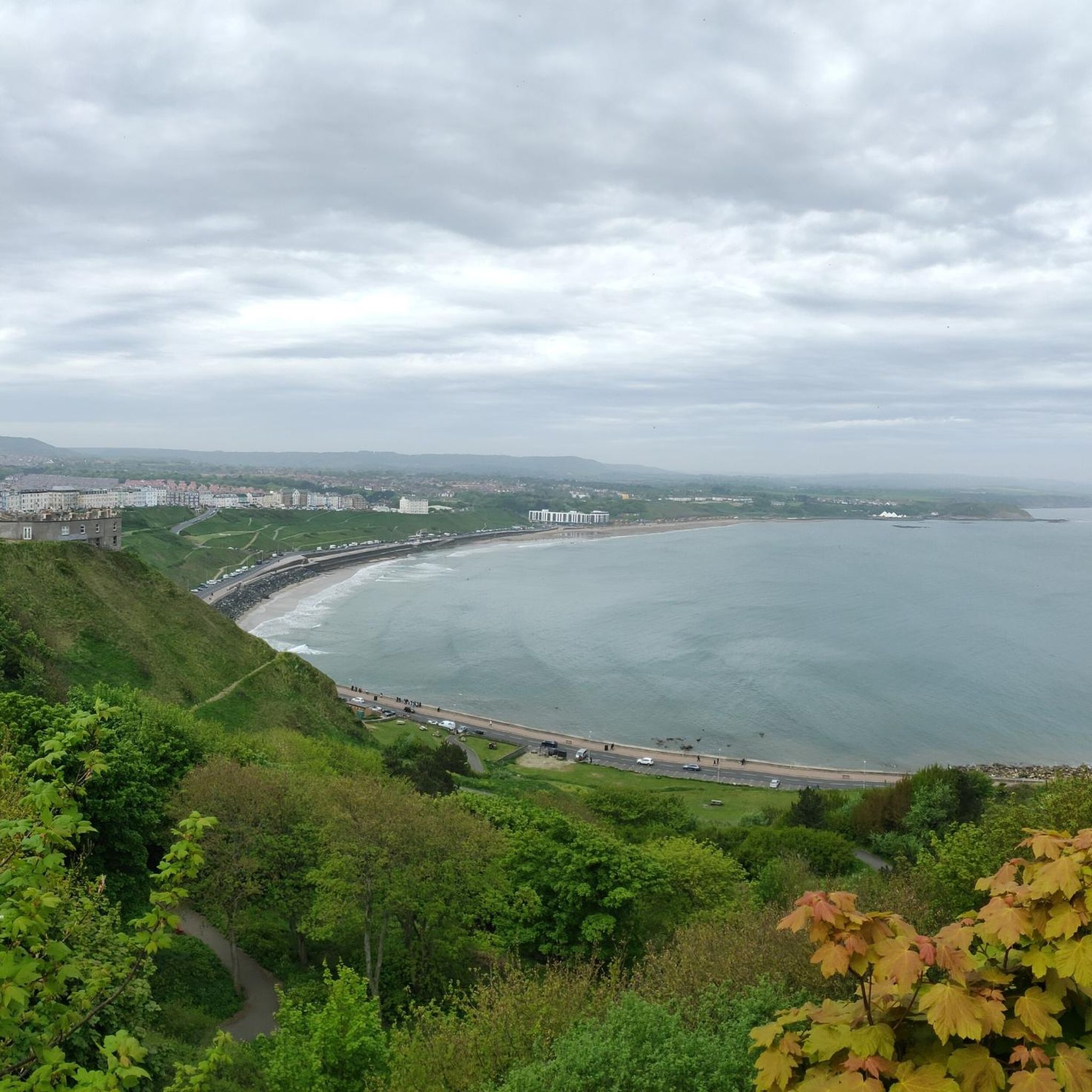
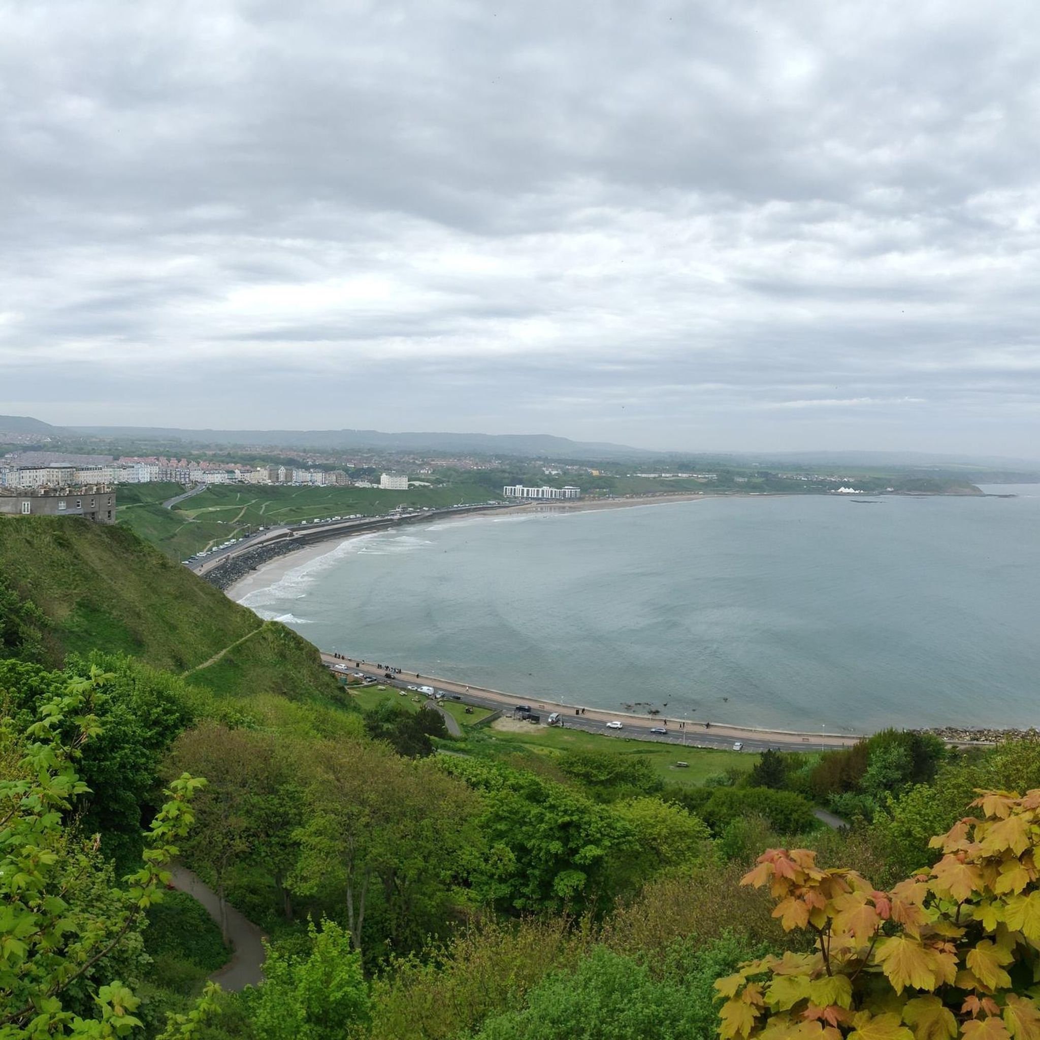
View of Scarborough from Oliver's Mount
Highlight • Climb
Tip by

East Heslerton Wold
Highlight • Trail
You get a …
Tip by

Little Moor — 115.3 m (378 ft), prominence 16.3 m
Highlight • Summit
(Hill ID: 512341) [JNSA s15455]
County of Yorkshire Definitive List summit.
North York Moors National Park Definitive List summit.
Tip by

Sign up for free to discover even more peaks around West Ayton.
Sign up for free
Already have an account?
Start today with a free account
Your next adventure awaits.
Login or Signup



Tips from the Community

Little Moor 115.3m P16.3 (378ft) (Hill ID: 512341) [JNSA s15455] County of Yorkshire Definitive List summit. North York Moors National Park Definitive List summit.
0
0

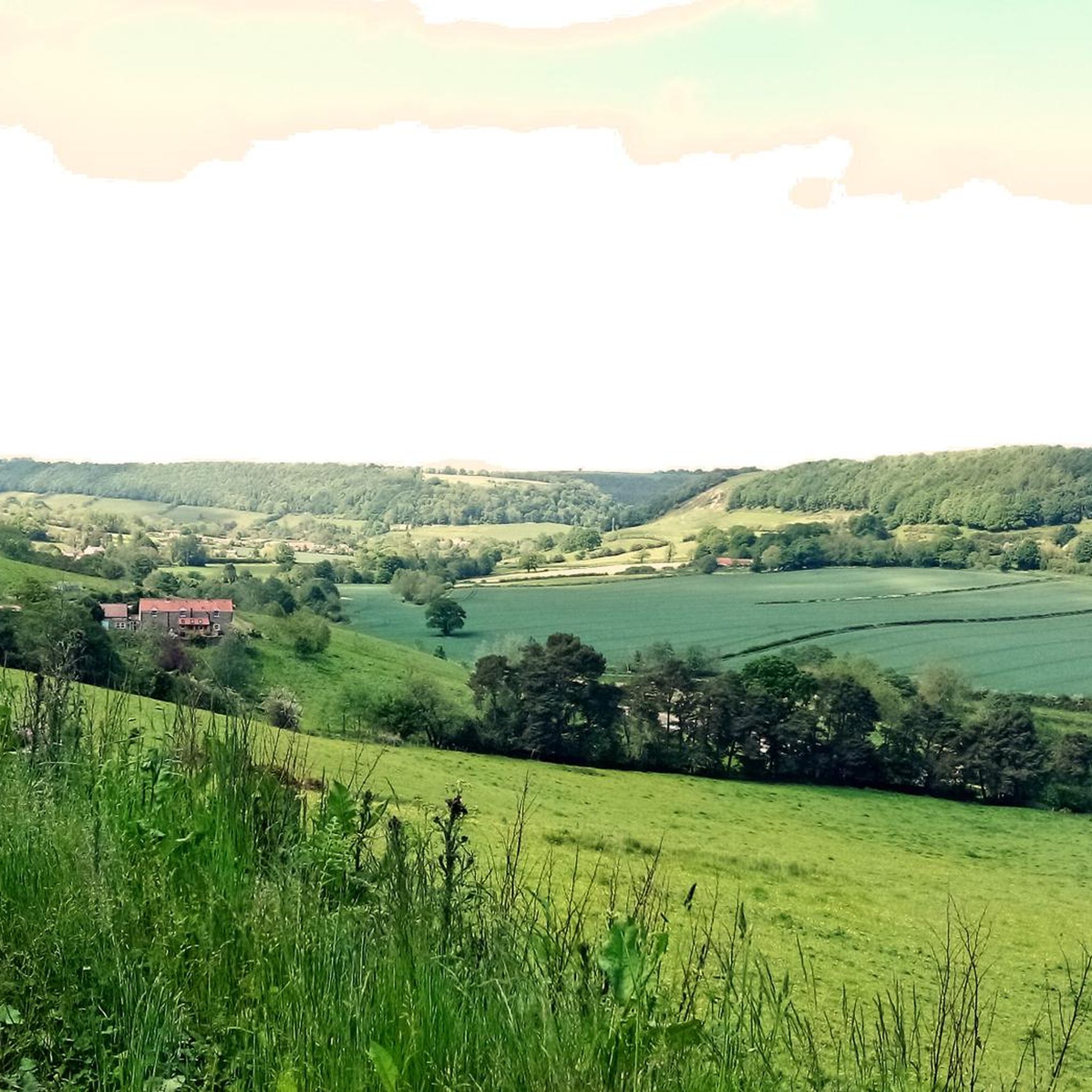
Many paths. Quiet and beautiful. Perfect for a mountain and a gravel bike.
0
0
Roger Trod is a peak and viewpoint on the Cleveland Way trail. It's about 328 feet (100 m) above the sea and there is a convenient bench.
0
0

This location was about 10 miles into this trail. It is a crossroads in Dalby Forest. You can rest the bikes against several fences & gates, then sit down on an elevated drain type seat. Good point to rehydrate and eat
0
0

Oliver's Mount is an area of high ground overlooking Scarborough, with great views over the town. Oliver's Mount first held a motorcycle race in 1946 and continues to do so today. In 2016 it was the summit for the final classified climb on the third stage of the Tour de Yorkshire.
0
0

Brilliant views of Scarborough and the Yorkshire Coast on a clear day.
0
0

A rather oddly located trig point, nonetheless it's worth noticing it as this is actually the highest point in Dalby Forest, at 248 m! Ordnance Survey have these days stopped placing trig points, which is perhaps good, as this one is now obviously surrounded by forest.
1
0

East Heslerton Wold is on the edge of the Yorkshire Wolds with the Vale of Pickering just to the north. The Yorkshire Wolds Way passes close by. You get a sense of being high up here, even though it is only at 174m at its highest. With quiet lanes its worth the climb up to get here.
0
0
Frequently Asked Questions
What kind of elevated natural features can I explore near West Ayton?
Near West Ayton, you can explore a variety of elevated natural features, including the distinctive flat-topped Tabular Hills, ancient woodlands like Forge Valley and Raincliffe Woods, and expansive forests such as Wykeham Forest. These areas offer diverse landscapes, from heather moorland to dense woodlands, providing rewarding hiking experiences and impressive views.
Are there family-friendly hiking options around West Ayton?
Yes, several areas near West Ayton are suitable for families. Dalby Forest Crossroads Rest Area is within Dalby Forest, which offers many paths suitable for walking and cycling. Forge Valley also features delightful waterside trails and boardwalks that are generally accessible and enjoyable for families.
What are some less crowded options for walks near West Ayton?
For a quieter experience, consider exploring areas within the Tabular Hills, particularly the 48-mile Tabular Hills Walk, which offers extensive walking opportunities away from more popular spots. Raincliffe Woods also provides numerous paths and bridleways through expansive woodlands, offering a peaceful haven for nature lovers.
Where can I find panoramic views near West Ayton?
For excellent panoramic views, visit View of Scarborough from Oliver's Mount, which overlooks Scarborough and the Yorkshire Coast. Within Wykeham Forest, the Highwood Brow viewpoint offers extensive vistas across Troutsdale, the Hackness valley, and the River Derwent. Staxton Hill also provides scenic views over the valley towards Scarborough.
What wildlife can I spot in the elevated areas around West Ayton?
The diverse habitats around West Ayton support a variety of wildlife. In Forge Valley, you might spot woodland birds and deer. Wykeham Forest is known for various bat species and is an excellent observation site for honey buzzards and goshawks. Raincliffe Woods, a Site of Special Scientific Interest, hosts diverse flora and fauna, including mature oaks, beeches, bluebells, and wild garlic.
Are there any challenging hikes or climbs near West Ayton?
While West Ayton is known for hills rather than traditional mountains, you can find challenging sections. Roger Trod Viewpoint is a peak and viewpoint on the Cleveland Way trail, offering an intermediate to challenging experience. The steep northern escarpments of the Tabular Hills can also provide more strenuous walking opportunities.
What outdoor activities are available near the peaks around West Ayton?
Beyond hiking, the areas around West Ayton offer various outdoor activities. You can enjoy road cycling on routes like the 'Dixon's Hollow Bike Park – Dalby Forest Visitor Centre loop' or 'Ayton Castle Ruins – The Old Folly Gateway loop'. Running trails are also popular, with options such as the 'Hutton Buscel 1933 Cottage loop'. For more details, explore the Road Cycling Routes around West Ayton, Hiking around West Ayton, and Running Trails around West Ayton guides.
What is the best time of year to hike the hills near West Ayton?
The hills and woodlands near West Ayton are enjoyable throughout much of the year. Spring brings vibrant wildflowers like bluebells to Raincliffe Woods and Forge Valley. Summer offers pleasant conditions for longer walks. Autumn provides beautiful foliage, especially in the ancient woodlands. While winter can be colder, many trails remain accessible, offering a different, often quieter, experience.
Are there any historical or geological points of interest in the elevated areas?
Yes, the region has notable historical and geological significance. The Tabular Hills are characterized by their distinctive geology of Corallian limestone. Forge Valley was carved by melting ice water at the end of the last ice age and is home to ancient woodlands, some thought to be 6,000 years old. Oliver's Mount has historical significance for motorcycling and cycling events, including the Tour de Yorkshire.
Where can I find a quiet spot with a view for a break?
For a quiet spot with a view, Roger Trod Viewpoint on the Cleveland Way trail offers a convenient bench about 100 meters above sea level. Staxton Hill also provides an elevated position with convenient parking and scenic views over the valley towards Scarborough, perfect for a peaceful break.
Are there any notable high points or summits to aim for?
Yes, you can aim for several notable high points. Dalby Forest Crossroads Rest Area marks the highest point in Dalby Forest at 248 meters. East Heslerton Wold, at 174 meters, offers a sense of being high up with quiet lanes worth the climb. Little Moor is another defined summit at 115.3 meters.
What are the best places for walking or cycling in the forests near West Ayton?
Wykeham Forest is a substantial woodland popular for walking, bicycling, and horse-riding, featuring a mix of conifer and broadleaf trees. Raincliffe Woods also offers numerous paths and bridleways suitable for walking and mountain biking. Forge Valley provides delightful waterside trails and boardwalks through ancient woodlands, ideal for a tranquil walk.
Most popular attractions around West Ayton

Get inspired with the komoot mobile app


Explore more
See even more amazing summits around West Ayton with these guides:
