The 6 Most Amazing Peaks around Brompton
Best mountain peaks around Brompton are found within a diverse landscape that includes forests, wolds, and coastal areas. This region offers a range of elevations, from gentle wolds to higher forest points, providing varied outdoor experiences. The area is characterized by its natural beauty and offers opportunities for exploring different types of terrain. Many peaks provide views over the surrounding countryside, including the North York Moors and the Yorkshire coast.
Best mountain peaks around Brompton
- The most popular mountain peaks…
Last updated: October 16, 2026
Blakey Topping
Highlight • Summit
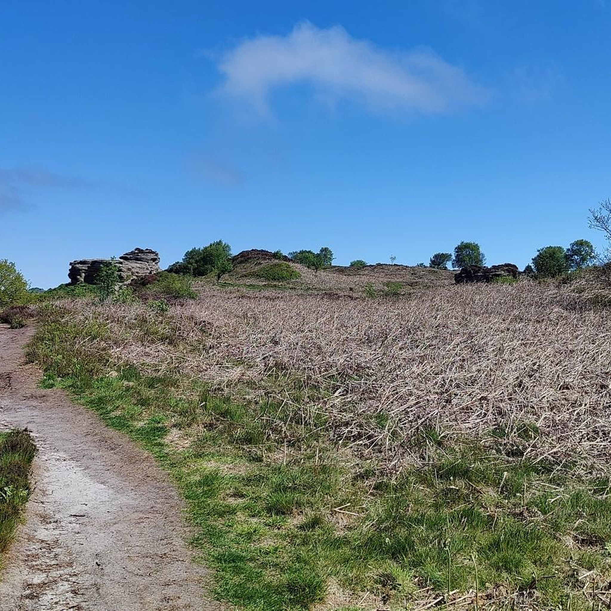
There’s a way more famous Topping in the North York Moors – Roseberry Topping – but if you want something off the beaten track, this …
Tip by

Dalby Forest Crossroads Rest Area
Highlight • Forest
Tip by

Sign up now to discover places like this
Get recommendations on the best single tracks, peaks, & plenty of other exciting outdoor places.
East Heslerton Wold
Highlight • Trail
You get a …
Tip by

High Woof Howe (Derwent Head Rigg) Summit
Highlight • Summit
(Hill ID: 512579) [JNSA s10481]
County of Yorkshire Definitive List summit.
North York Moors National Park Definitive List summit
Tip by

View of Scarborough from Oliver's Mount
Highlight • Climb
Tip by

Sign up for free to discover even more peaks around Brompton.
Already have an account?
Start today with a free account
Your next adventure awaits.
Tips from the Community

High Woof Howe (Derwent Head Rigg) 290m P16 (951ft) (Hill ID: 512579) [JNSA s10481] County of Yorkshire Definitive List summit. North York Moors National Park Definitive List summit
0
0

Many paths. Quiet and beautiful. Perfect for a mountain and a gravel bike.
0
0

This location was about 10 miles into this trail. It is a crossroads in Dalby Forest. You can rest the bikes against several fences & gates, then sit down on an elevated drain type seat. Good point to rehydrate and eat
0
0

Oliver's Mount is an area of high ground overlooking Scarborough, with great views over the town. Oliver's Mount first held a motorcycle race in 1946 and continues to do so today. In 2016 it was the summit for the final classified climb on the third stage of the Tour de Yorkshire.
0
0

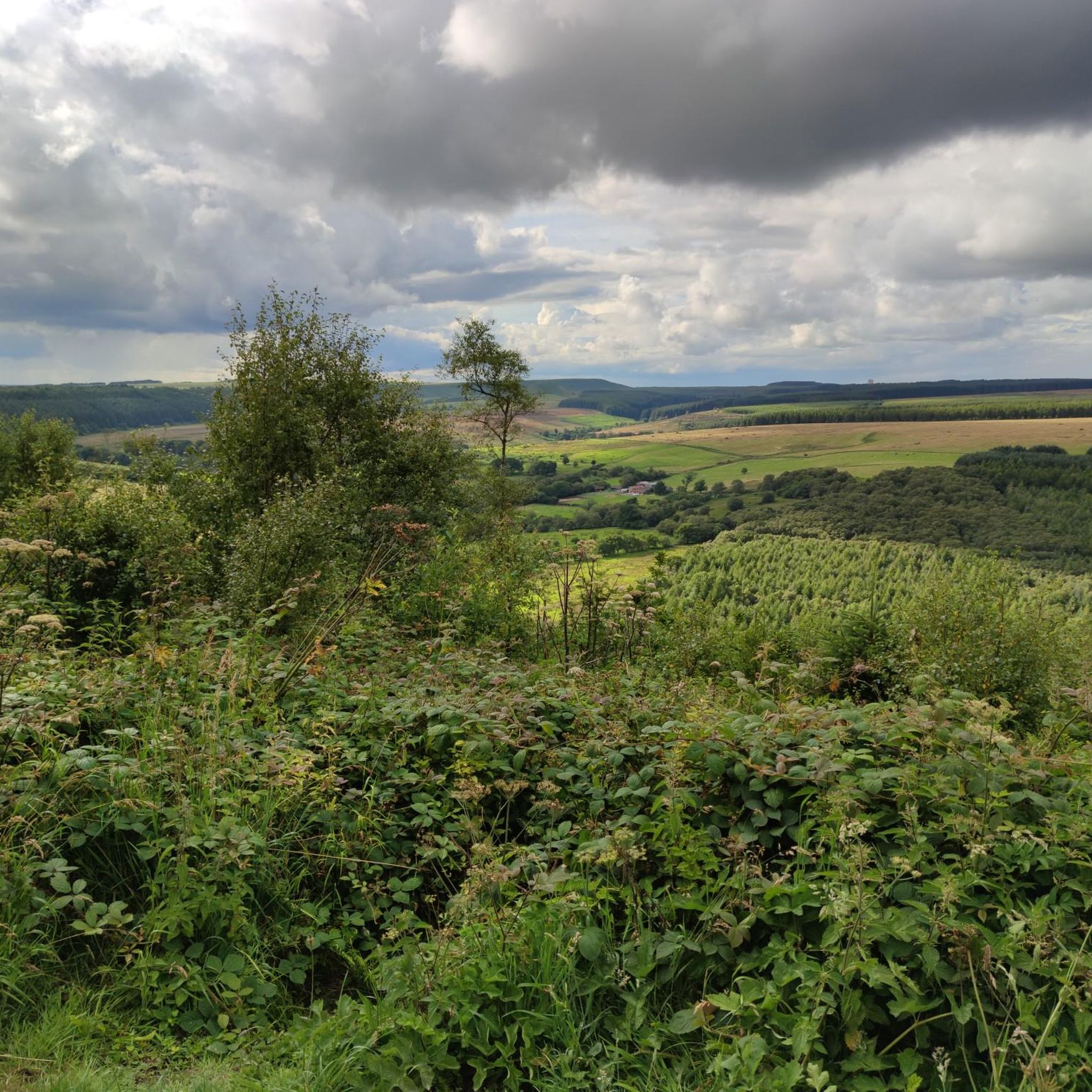
Brilliant views of Scarborough and the Yorkshire Coast on a clear day.
0
0

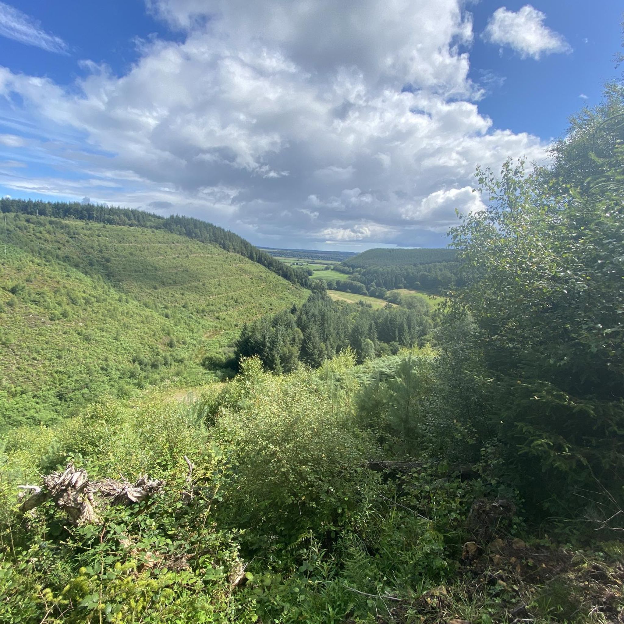
A rather oddly located trig point, nonetheless it's worth noticing it as this is actually the highest point in Dalby Forest, at 248 m! Ordnance Survey have these days stopped placing trig points, which is perhaps good, as this one is now obviously surrounded by forest.
1
0

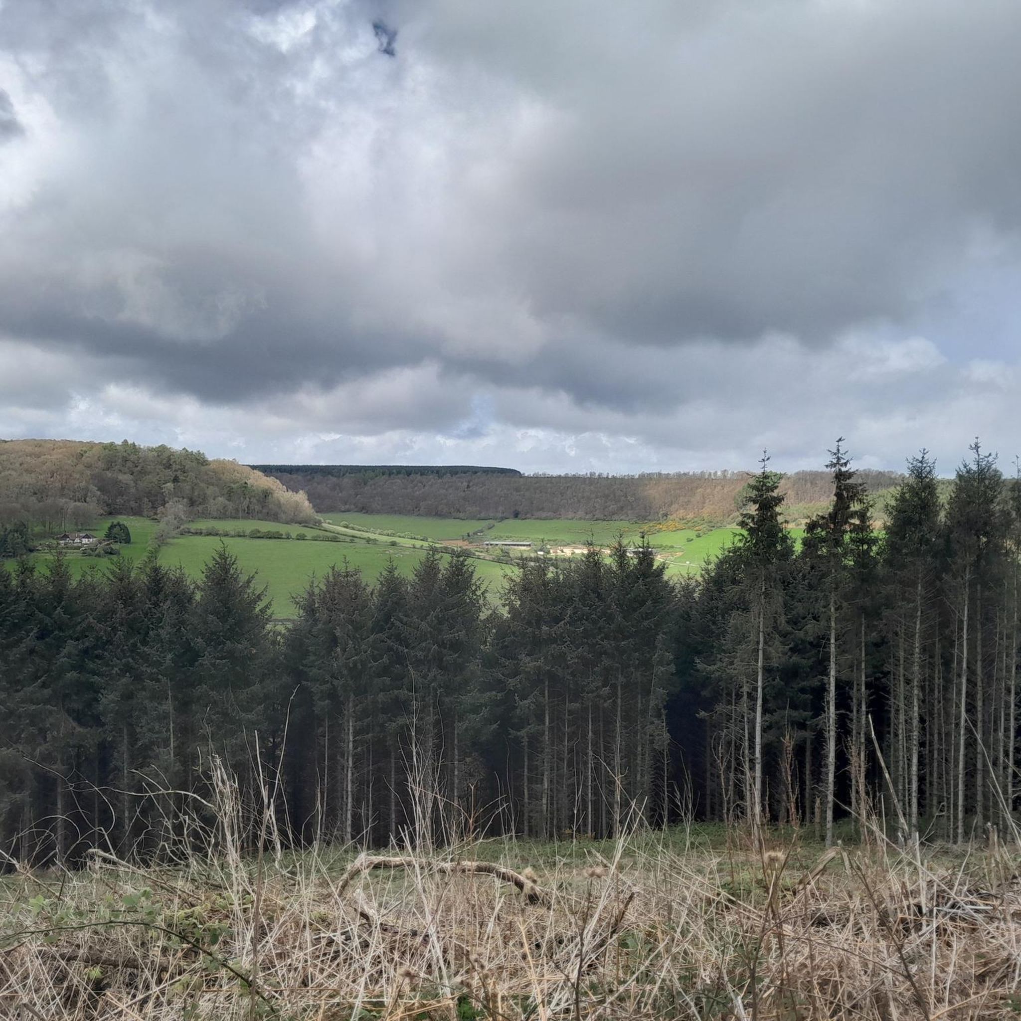
East Heslerton Wold is on the edge of the Yorkshire Wolds with the Vale of Pickering just to the north. The Yorkshire Wolds Way passes close by. You get a sense of being high up here, even though it is only at 174m at its highest. With quiet lanes its worth the climb up to get here.
0
0
It's a very striking hill - clearly manmade. Wonderful view all around. I was there on a cloudy day (visibility was still good) and even then it was amazing. Expect VERY steep ascent to it - sweet but short! Far reaching views of the 360-degree type... Loved it and so should you.
1
0
Frequently Asked Questions
What are some notable mountain peaks to explore around Brompton?
The region around Brompton offers several interesting peaks. Dalby Forest Crossroads Rest Area marks the highest point in Dalby Forest at 248 m, featuring a trig point and many paths. View of Scarborough from Oliver's Mount provides excellent views over Scarborough and the Yorkshire Coast. Another significant spot is High Woof Howe (Derwent Head Rigg) Summit, an intermediate summit within the North York Moors National Park, reaching 290 m.
Are there any family-friendly mountain trails near Brompton?
Yes, Dalby Forest Crossroads Rest Area is within Dalby Forest, which is known for its family-friendly trails. The forest offers a variety of paths suitable for different activity levels, making it a good option for families.
What kind of natural features can I expect to see on these peaks?
The peaks around Brompton are set within a diverse landscape. You can expect to see extensive forests, such as Dalby Forest, and elevated wolds like East Heslerton Wold. Many locations offer expansive viewpoints over the surrounding countryside, including the North York Moors and the Yorkshire coast.
What outdoor activities, besides hiking, can I do near these peaks?
Beyond hiking, the area around Brompton is excellent for cycling. Dalby Forest, for instance, has many paths suitable for mountain and gravel biking. You can find various routes for mountain biking in the area, including the challenging Jerry Noddle RED Trail in Dalby Forest. For more options, explore the MTB Trails around Brompton guide.
Are there specific hiking trails recommended near the peaks around Brompton?
Yes, there are numerous hiking trails. For example, you can explore routes like the Troutsdale and Wykeham Forest loop in the North York Moors National Park, or the Raptor Viewpoint and Highwood Brow loop. For a comprehensive list of options, refer to the Hiking around Brompton guide.
Can I find circular hiking routes around the Brompton mountains?
Yes, the region offers several circular hiking routes. Examples include the Troutsdale and Wykeham Forest loop and the Rise Dykes and Highwood Brow Viewpoint loop in Wykeham Forest. These routes allow you to experience the diverse landscapes and return to your starting point. More details can be found in the Hiking around Brompton guide.
Are there any facilities or places to rest near the mountain peaks?
Yes, Dalby Forest Crossroads Rest Area is specifically designed as a place to rest, offering space to secure bikes and seating. Dalby Forest itself also has visitor facilities. For other peaks, it's advisable to check specific trail information for amenities.
What views can I expect from Oliver's Mount?
From Oliver's Mount, you can expect brilliant, expansive views of Scarborough town and the picturesque Yorkshire Coast, especially on a clear day. It's a popular viewpoint for its panoramic scenery.
Is High Woof Howe (Derwent Head Rigg) Summit suitable for all hikers?
High Woof Howe (Derwent Head Rigg) Summit is classified as an intermediate peak. While not extremely high at 290 m, its location within the North York Moors National Park suggests trails that might involve varied terrain. Hikers with some experience should find it manageable.
Are dogs allowed on the mountain trails around Brompton?
Generally, many outdoor areas in the UK, including parts of the North York Moors National Park and forests like Dalby, are dog-friendly. However, it's always best to check specific trail regulations or local signage, especially concerning livestock or protected wildlife areas, and to keep dogs under control.
Do I need any permits to access the mountain peaks around Brompton?
Typically, general access to public footpaths and open access land in the UK, including the North York Moors National Park where some of these peaks are located, does not require permits. However, if you plan specific activities or enter private land, it's always wise to check local regulations.
Are there options for running trails near these peaks?
Yes, the area around Brompton offers various running trails. You can find routes like the Broxa Forest and Langdale Forest loop or shorter runs from Brompton itself. For detailed options and difficulties, consult the Running Trails around Brompton guide.
Most popular routes around Brompton
Most popular attractions around Brompton

Get inspired with the komoot mobile app


Explore more
See even more amazing summits around Brompton with these guides:
