The 7 Most Amazing Peaks around Ebberston And Yedingham
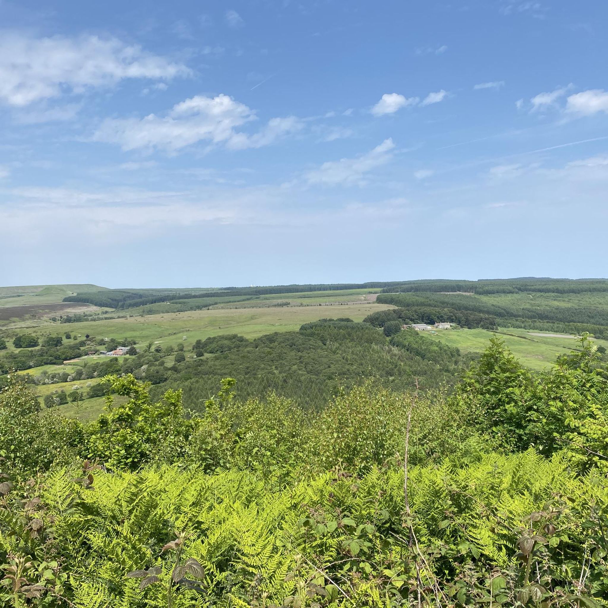
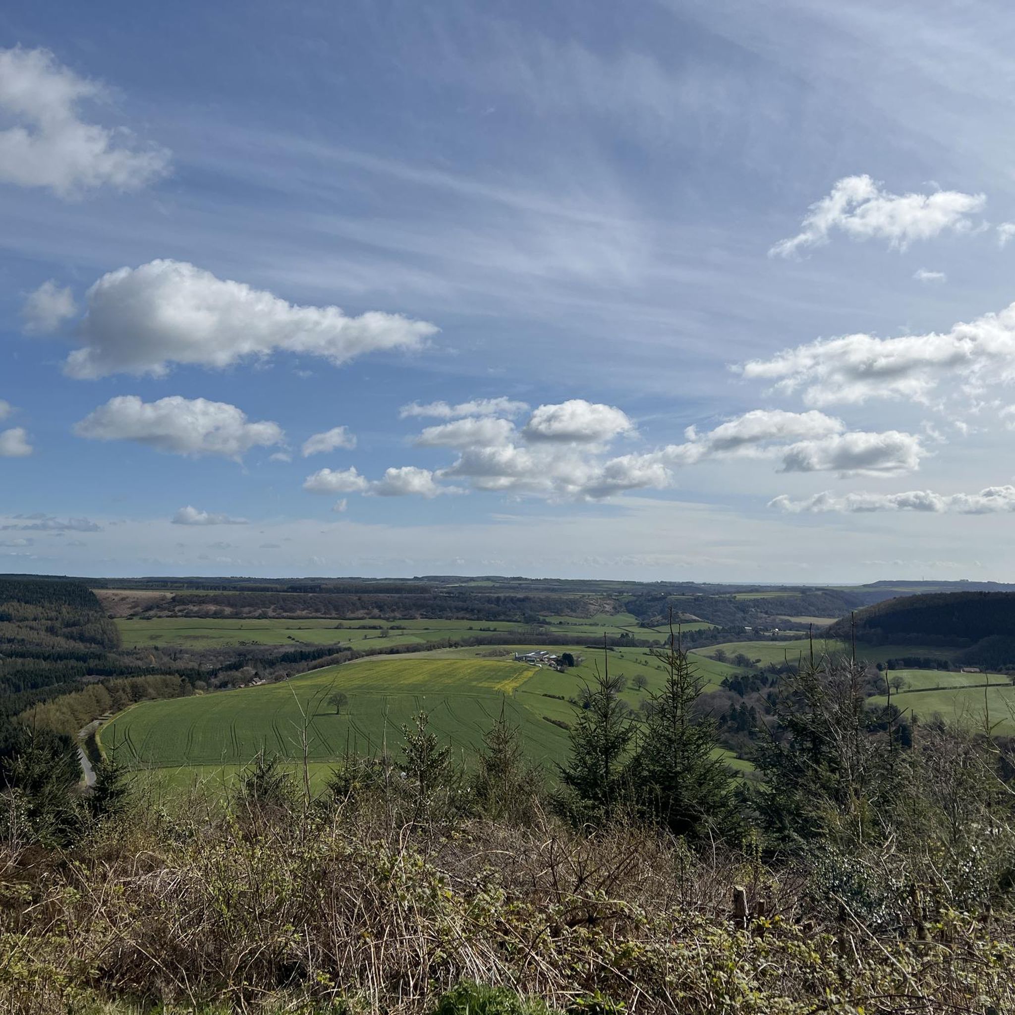
Best mountain peaks around Ebberston And Yedingham are found within a landscape characterized by rolling hills, extensive woodlands, and serene river valleys, rather than towering alpine peaks. The area is situated on the edge of Dalby Forest and forms part of the North York Moors National Park. This region offers numerous hiking opportunities with moderate elevation changes and significant high points.
Best mountain peaks around Ebberston And Yedingham
- The most popular mountain peaks is Roger Trod Viewpoint, a trail…
Last updated: June 30, 2026
Simon Howe Bronze Age Cairn
Highlight • Viewpoint
Tip by

Dalby Forest Crossroads Rest Area
Highlight • Forest
Tip by
Sign up now to discover places like this
Get recommendations on the best single tracks, peaks, & plenty of other exciting outdoor places.
Sign up for free
Roger Trod Viewpoint
Highlight • Trail
Tip by

High Woof Howe (Derwent Head Rigg) Summit
Highlight • Summit
(Hill ID: 512579) [JNSA s10481]
County of Yorkshire Definitive List summit.
North York Moors National Park Definitive List summit
Tip by

East Heslerton Wold
Highlight • Trail
You get a …
Tip by

Sign up for free to discover even more peaks around Ebberston And Yedingham.
Sign up for free
Already have an account?
Start today with a free account
Your next adventure awaits.
Login or Signup
Popular around Ebberston And Yedingham

Other adventures around Ebberston And Yedingham

Tips from the Community

High Woof Howe (Derwent Head Rigg) 290m P16 (951ft) (Hill ID: 512579) [JNSA s10481] County of Yorkshire Definitive List summit. North York Moors National Park Definitive List summit
0
0

Many paths. Quiet and beautiful. Perfect for a mountain and a gravel bike.
0
0
Roger Trod is a peak and viewpoint on the Cleveland Way trail. It's about 328 feet (100 m) above the sea and there is a convenient bench.
0
0

Fantastic 360 degree views and a variety of routeing options. I can't comment on the track west to Wheeldale Lodge or the bridleway south along Simon Howe Rigg to Cropton Forest, but both the bridleway north to Goathland, and the track east to Fen Bog Nature Reserve and the A169 are good quality tracks over easy terrain. The track east to Fen Bog is still quite waterlogged and boggy in some places even in July, but it is quite easy to skirt around these over the heather.
1
0

This location was about 10 miles into this trail. It is a crossroads in Dalby Forest. You can rest the bikes against several fences & gates, then sit down on an elevated drain type seat. Good point to rehydrate and eat
0
0

A scheduled monument, Simon Howe is a large round cairn on Goathland Moor that offers great views of the North York Moors National Park.
0
0

At Simon Howe (260 m), you will see a cairn and a ring of stones, but what they used to be and for what purpose is apparently 'shrouded by the mist of time' as they used to phrase it in my favourite sci-fi series! In the summer, you will be surrounded by a sea of purple heather. There are some stones here on which it will be possible to rest your running feet for awhile.
1
0
A rather oddly located trig point, nonetheless it's worth noticing it as this is actually the highest point in Dalby Forest, at 248 m! Ordnance Survey have these days stopped placing trig points, which is perhaps good, as this one is now obviously surrounded by forest.
1
0
Frequently Asked Questions
What are some notable high points or 'peaks' in the Ebberston And Yedingham area?
While the region doesn't feature alpine-style mountains, it offers significant high points within the North York Moors National Park. Notable spots include Roger Trod Viewpoint, which is a peak and viewpoint on the Cleveland Way, and Simon Howe Bronze Age Cairn, a historical site with expansive views. The highest point in Dalby Forest is marked by the Dalby Forest Crossroads Rest Area.
What kind of views can I expect from the high points in this region?
The high points around Ebberston And Yedingham offer panoramic views over the varied landscape of the North York Moors. From Simon Howe Bronze Age Cairn, you can enjoy 360-degree vistas over Goathland Moor. Roger Trod Viewpoint provides views from about 100 meters above sea level, and East Heslerton Wold offers a sense of elevation with views towards the Vale of Pickering.
Are there any historical sites on or near the peaks?
Yes, the area is rich in history. Simon Howe Bronze Age Cairn is a prominent historical site featuring a well-preserved Bronze Age round cairn, a stone row, and a standing stone. The wider North York Moors also contain prehistoric remains, adding a historical dimension to your walks.
Are there family-friendly options for exploring the high points?
Absolutely. The Dalby Forest Crossroads Rest Area is located within Dalby Forest, which is known for its family-friendly trails and facilities. Many paths within Dalby Forest are suitable for families, offering easy walks amidst the woodland.
What is the highest point in Dalby Forest?
The highest point in Dalby Forest is 248 meters, marked by a trig point at the Dalby Forest Crossroads Rest Area. It's surrounded by the forest and offers a unique spot to visit.
What is the highest point in the North York Moors National Park?
The highest point in the North York Moors National Park is Urra Moor, also known as Round Hill, which reaches 454 meters (1,490 feet). While not directly in Ebberston and Yedingham, it's a significant landmark within the wider park and accessible for those seeking more challenging hikes.
When is the best time to visit the peaks around Ebberston And Yedingham?
The region is beautiful year-round, but late spring to early autumn (May to October) generally offers the most pleasant weather for hiking. In summer, you might find the moorland around Simon Howe Bronze Age Cairn surrounded by a sea of purple heather, which is particularly stunning.
What outdoor activities can I do near the high points around Ebberston And Yedingham?
The area is excellent for various outdoor activities. You can find numerous hiking opportunities, from easy walks to more demanding routes. There are also dedicated running trails and hiking routes, including options for easy hikes, especially within Dalby Forest.
Are there specific hiking trails recommended near these high points?
Yes, the region offers a network of footpaths and bridleways. For hiking, you can explore routes like the Jerry Noddle Trail or the Deepdale Habitat Trail in Dalby Forest. For more options, check out the Hiking around Ebberston And Yedingham guide.
What makes Simon Howe Bronze Age Cairn a unique spot to visit?
Simon Howe Bronze Age Cairn is unique for its well-preserved Bronze Age round cairn, stone row, and standing stone, offering a glimpse into ancient history. Beyond its archaeological significance, it provides fantastic 360-degree views over the wild expanse of Goathland Moor, often surrounded by vibrant purple heather in summer.
Where can I find a good resting spot with views along a trail?
Roger Trod Viewpoint, located on the Cleveland Way trail, offers a convenient bench for rest, allowing you to take a break while enjoying views from its elevated position. The Dalby Forest Crossroads Rest Area also provides a place to rehydrate and sit down.
Are there any less-known or 'hidden gem' high points to explore?
While not widely publicized, High Woof Howe (Derwent Head Rigg) Summit offers a quieter experience with its 290-meter elevation and forest surroundings. Similarly, East Heslerton Wold, though only 174 meters, provides a sense of being high up with quiet lanes and rewarding views, away from more crowded spots.
What should I wear for hiking in the North York Moors?
Given the varied terrain and potential for changeable weather, it's advisable to wear layers, waterproof outerwear, and sturdy hiking boots. The moorland can be exposed, so protection from wind and rain is important, even on sunny days. Check the local weather forecast before heading out.
Most popular routes around Ebberston And Yedingham
Most popular attractions around Ebberston And Yedingham

Get inspired with the komoot mobile app


Explore more
See even more amazing summits around Ebberston And Yedingham with these guides:
