The best road cycling routes around Königswalde
4.5
(161)
1,918
riders
147
rides
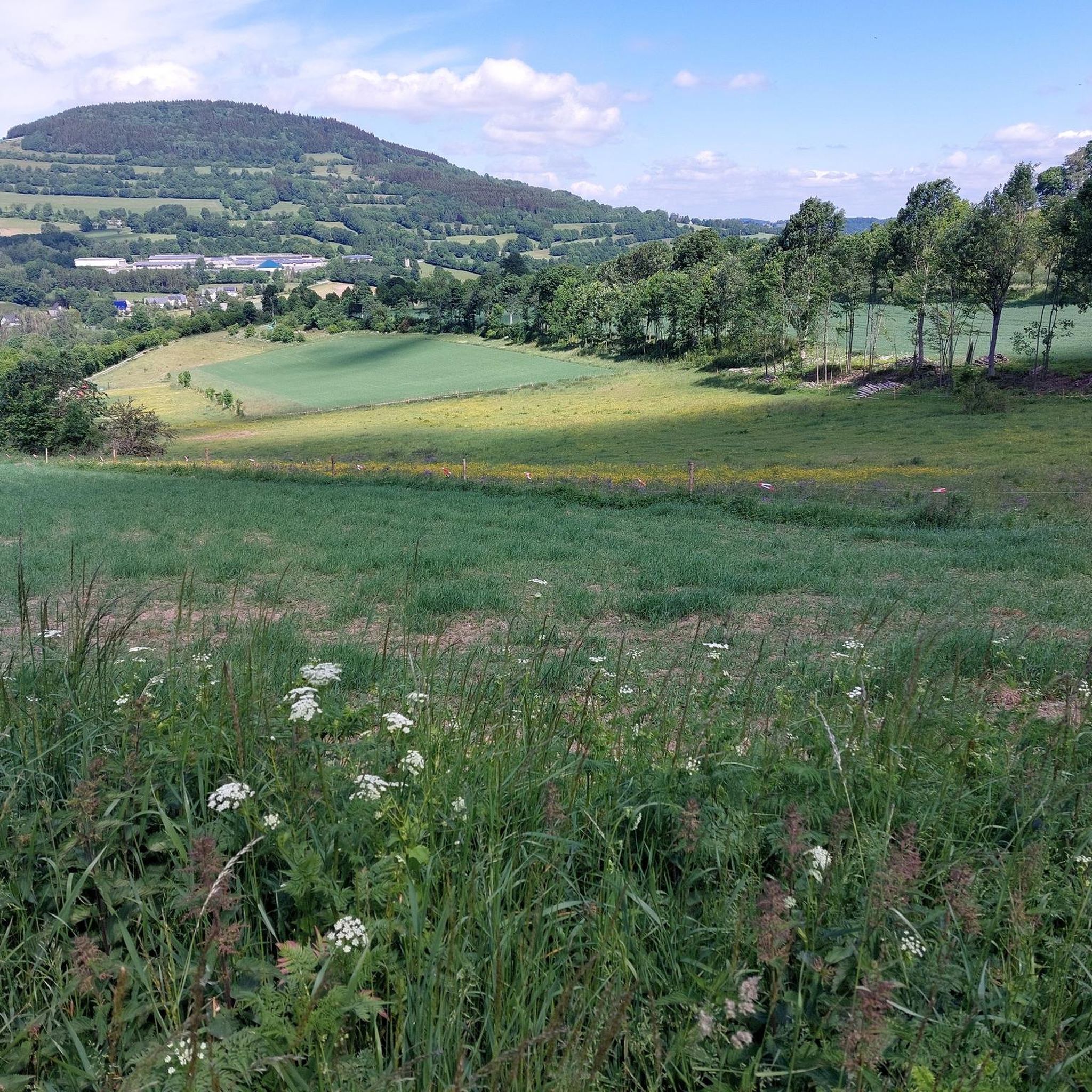
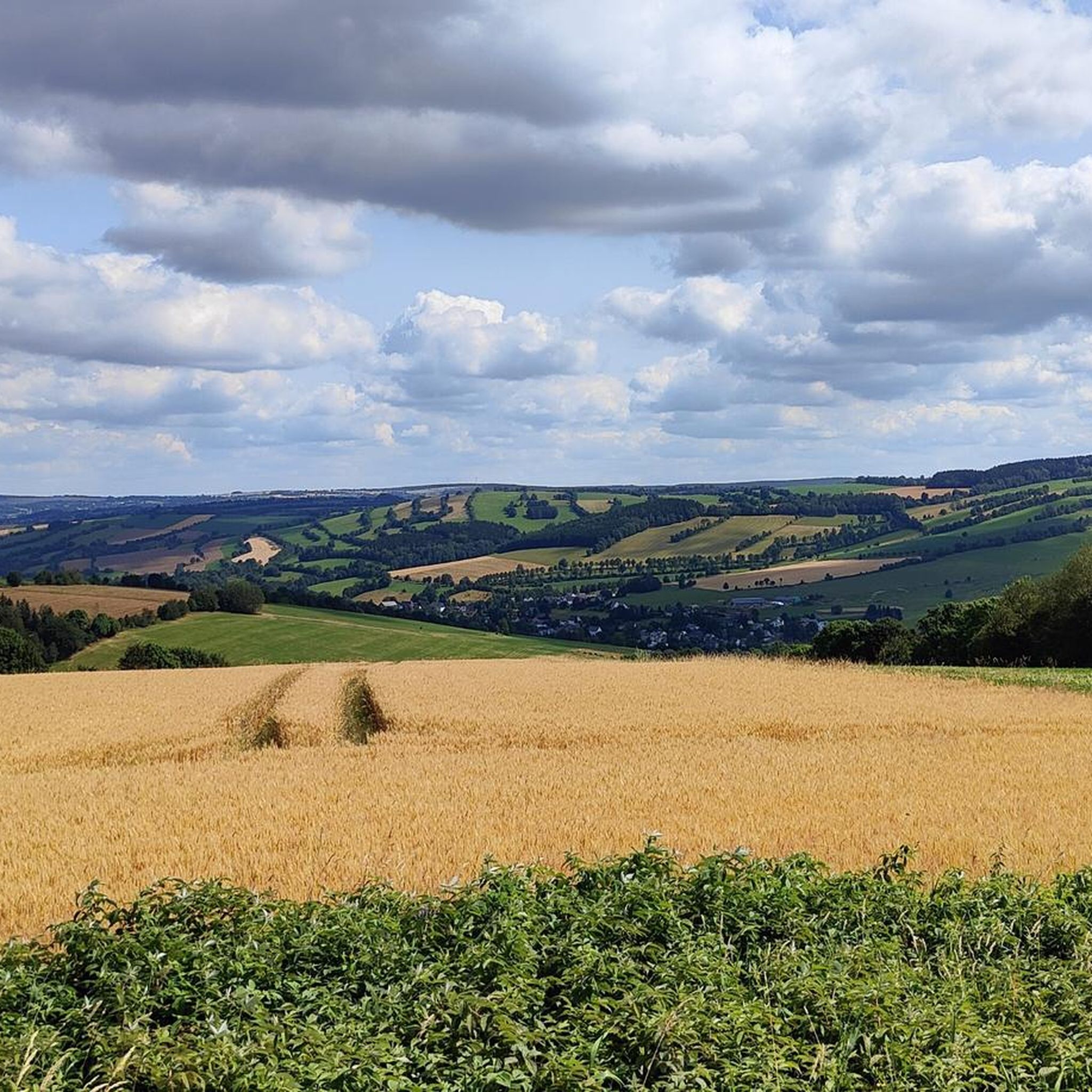
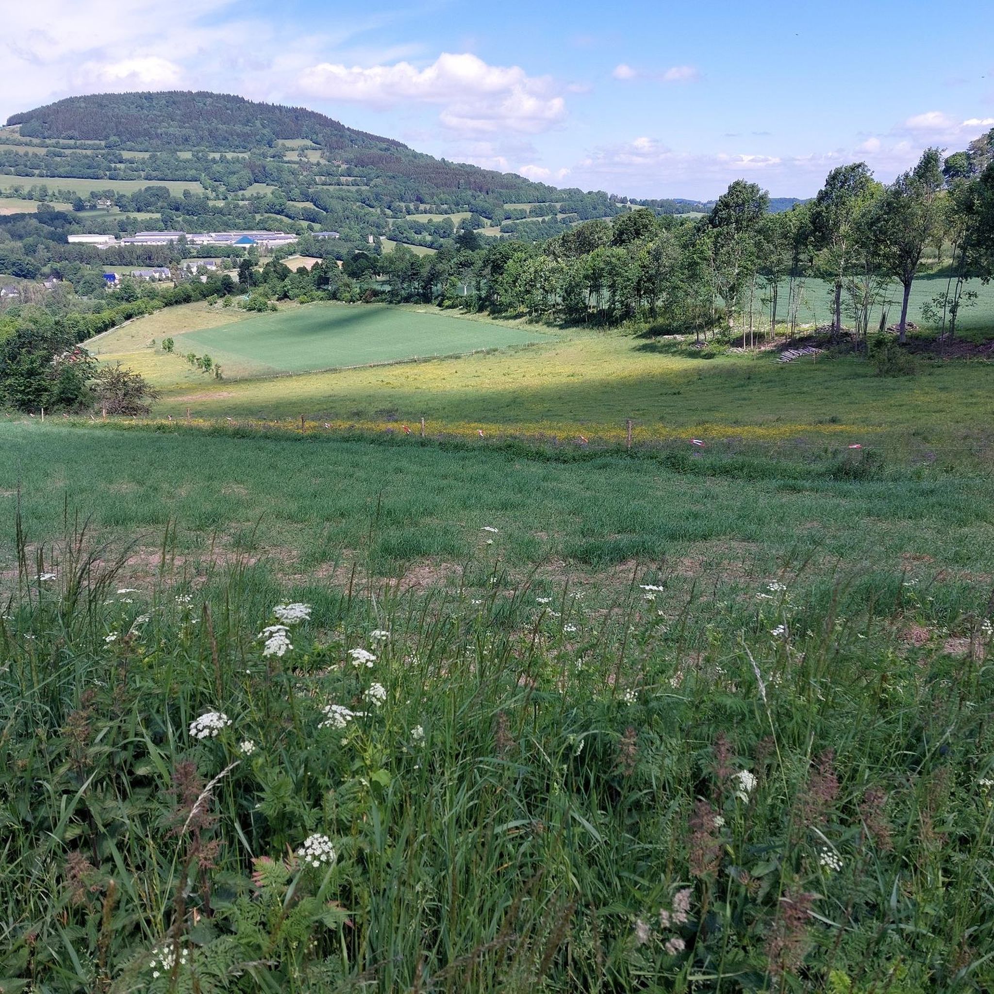
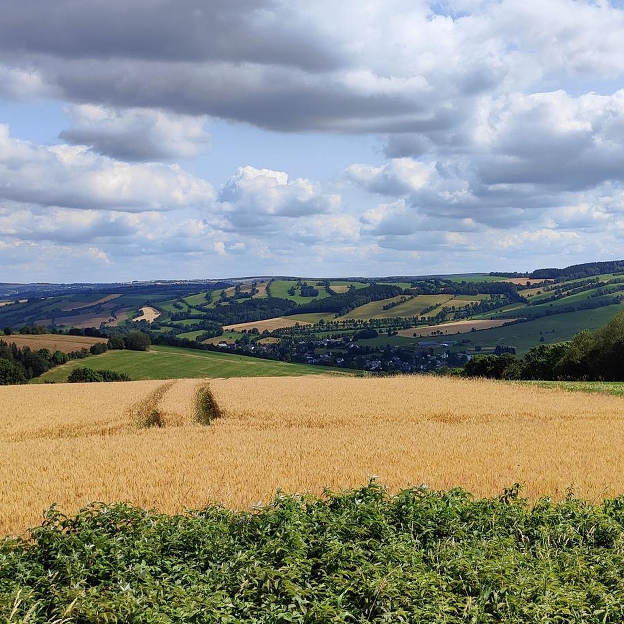
Road cycling routes around Königswalde traverse the picturesque Pöhlatal valley within the Upper Erzgebirge, characterized by forested slopes and the Pöhlbachtal. The region offers varied terrain, from gentle climbs along valley floors to more challenging ascents towards prominent elevations. Königswalde itself is a Waldhufendorf, featuring a distinctive cultural landscape. This area provides an extensive network of trails suitable for road cycling.
Best road cycling routes around Königswalde
- The most popular road cycling route is Brettmühle Inn – Hotel Fichtenhäusel loop…
Last updated: October 13, 2026
5.0
(4)
56
riders
Moderate road ride. Good fitness required. Mostly well-paved surfaces and easy to ride.
38
riders
36.4km
01:47
540m
540m
Moderate road ride. Good fitness required. Mostly well-paved surfaces and easy to ride.

4.5
(2)
55
riders
Moderate road ride. Good fitness required. Mostly well-paved surfaces and easy to ride.
15
riders
70.7km
03:50
1,410m
1,410m
Hard road ride. Very good fitness required. Mostly well-paved surfaces and easy to ride.
5.0
(3)
22
riders
Moderate road ride. Good fitness required. Mostly well-paved surfaces and easy to ride.
Get access to more routes and recommendations from other explorers.
Already have an account?
Our route recommendations are based on thousands of hikes, rides, and runs completed by other people on komoot.
Start today with a free account
Your next adventure awaits.
Tips from the Community

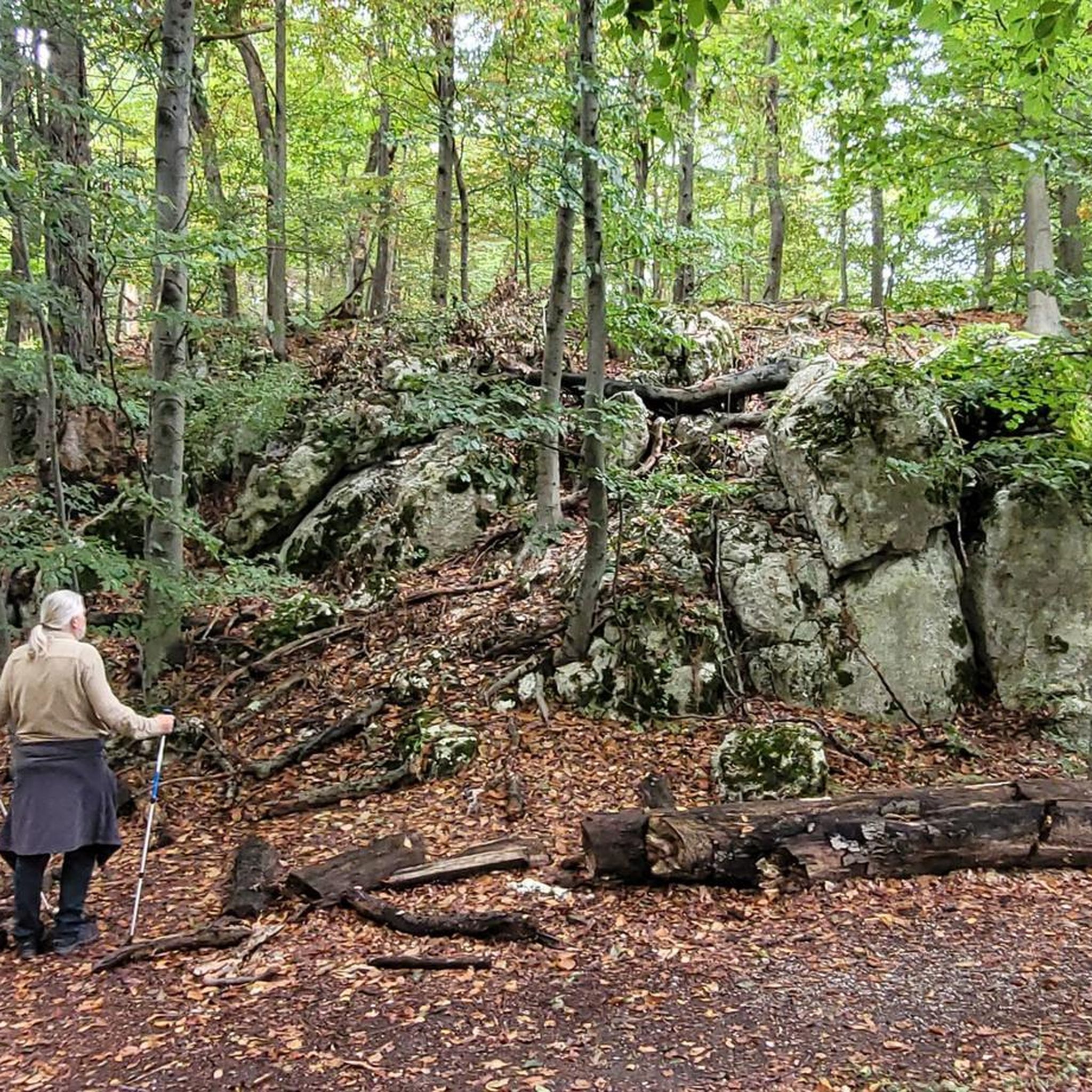
The ascent to the distinctive Kupferhübel (Mědník) with its small chapel is short, but steeply challenging. For sure-footed children, there are even a few small scrambling sections along the way. At the top, a fantastic panoramic view awaits – perfect for identifying mountains and counting windmills together! 💡 Family Tip: Buggies have no chance here, definitely take a carrier for the little ones. If the wind is too strong at the top, you'll find a cozy resting spot right in the lee of the chapel or on a slightly lower platform. And for the treasure hunters: a Geocache is hidden on the west side going downhill! You can find more authentic family tours and honest excursion tips at @Wanderfamilie.Erzgebirge.
0
0

Refill water bottles
0
0


Beautiful mountain town with a great view.
0
0

The Fichtelberg is the highest mountain in Saxony (1215 m above sea level) Very nice view from here
0
1

With every step, closer to the summit – the Fichtelberg climb on the Stoneman Miriquidi Road. From the intersection, it's not far anymore, and motivation gets a final boost.
1
0

The Catholic Church of St. Boniface belongs to the Catholic parish of "Mary, Mother of the Church." This parish stretches from Thum through Annaberg-Buchholz, Bärenstein, Oberwiesenthal, Marienberg, and Olbernhau to Neuhausen. In September 2021, St. Boniface celebrated the centenary of its consecration.
16
0

It seems pretty deserted. On your way toward Keilberg, you now have a fairly flat section ahead of you before it gets steeper again.
1
0
Frequently Asked Questions
How many road cycling routes are available around Königswalde?
Königswalde offers over 150 road cycling routes, catering to various skill levels. You'll find a mix of easy, moderate, and challenging options to explore the picturesque Pöhlatal valley and the Upper Erzgebirge.
What kind of terrain can I expect on road cycling routes in Königswalde?
The terrain around Königswalde is diverse, ranging from gentle climbs along the Pöhlbachtal valley floor to more challenging ascents towards prominent elevations like the Bärenstein and Pöhlberg. You'll primarily ride through forested slopes, characteristic of the Erzgebirge, with varied road conditions suitable for road bikes.
Are there any family-friendly road cycling routes in Königswalde?
Yes, Königswalde offers several easier road cycling routes suitable for families. These routes often follow flatter sections along valleys or through less hilly terrain, allowing for a more relaxed experience. While specific routes are not listed as 'family-friendly' in the data, you can find 7 easy routes on komoot, such as the Dorothea Stolln Visitor Mine – Bärenstein–Kühberg Cycle Path loop from Annaberg-Buchholz Mitte, which is a moderate 20.9 km route.
What are some scenic viewpoints or landmarks I can visit while road cycling in Königswalde?
Road cycling routes in Königswalde often lead to stunning viewpoints and natural features. You can cycle towards the Bärenstein Summit and Observation Tower for panoramic views of the Cranzahl Talsperre and distant peaks. The Pöhlberg Summit also offers a mountain hotel and observation tower with views from 831 meters. Additionally, the Cranzahl Dam provides a beautiful circular path for cycling, though swimming is not permitted.
What is the best time of year for road cycling in Königswalde?
The protected valley location of Königswalde generally ensures pleasant conditions for outdoor pursuits throughout the year. However, for road cycling, late spring through early autumn (May to October) typically offers the most favorable weather with milder temperatures and less chance of snow or ice on higher elevations. Summer provides warm conditions, while spring and autumn offer vibrant scenery.
Are there challenging road cycling routes for experienced riders in Königswalde?
Absolutely. The Erzgebirge region around Königswalde is known for its varied terrain, including challenging ascents. There are 59 difficult routes available, offering significant elevation gains. Routes like the Magnificent view – Bärenstein Tower loop from Annaberg-Buchholz Mitte, with its 693 meters of elevation gain over 41.4 km, provide a good challenge for experienced road cyclists.
Where can I find parking or public transport access for road cycling routes in Königswalde?
While specific parking areas for each route are not detailed, Königswalde and nearby towns like Annaberg-Buchholz offer various parking options. For public transport, regional buses connect Königswalde to larger towns, which may provide access points to cycling routes. It's advisable to check local public transport schedules for routes that accommodate bicycles.
Are there cafes or accommodation options along the road cycling routes in Königswalde?
Yes, the region is equipped to welcome cyclists. You'll find mountain hotels, such as the one on Pöhlberg Summit, and various cafes and guesthouses in Königswalde and surrounding villages. The Brettmühle Inn – Hotel Fichtenhäusel loop from Annaberg-Buchholz Süd, for example, suggests places for refreshment along its path. Many routes pass through or near settlements where you can find places to rest and refuel.
What do other road cyclists enjoy the most about road cycling in Königswalde?
The road cycling experience in Königswalde is highly rated by the komoot community, with an average score of 4.5 stars from over 100 reviews. Cyclists often praise the varied terrain, the scenic forested slopes, and the rewarding views from elevations like Bärenstein and Pöhlberg. The extensive network of trails also allows for diverse route planning.
Are there any road cycling routes that include the Cranzahl Dam?
Yes, the Cranzahl Dam is a notable natural feature in the region and offers a beautiful circular path that is ideal for cycling. While specific routes directly around the dam are not detailed here, many routes in the area, such as those leading to the Bärenstein Summit, will offer views of or pass near the dam.
Can I find loop trails for road cycling in Königswalde?
Many of the road cycling routes around Königswalde are designed as loop trails, allowing you to start and end at the same point. Examples include the Hotel Sachsenbaude – Fichtelberg Ascent loop from Vejprty and the Between Dörfel and Schlettau – Paßklausenturm loop from Annaberg-Buchholz Mitte. These loops are convenient for exploring the region without needing to arrange return transport.
Most popular routes around Königswalde
Most popular attractions around Königswalde

Get inspired with the komoot mobile app


Explore more
Browse the best Road cycling routes in other regions.
