Top 4 Lakes around Linlithgow And Linlithgow Bridge
Looking to visit the best lakes around Linlithgow And Linlithgow Bridge? After all, there’s nothing better than the serenity of the lakeshore — or a quick dip when the weather’s warm. So, browse our list of Linlithgow And Linlithgow Bridge’s top lakes below as recommended by the komoot community, and experience more on your next adventure!
Last updated: June 30, 2026
Beecraigs Loch
Highlight • Structure
Tip by

Limekilns Harbour View
Highlight • Viewpoint
The Bruce Arms: brucearmslimekilns.co.uk
Location: goo.gl/maps/PusbkTcYC9UNYtrm9
The Ship Inn: the-ship-inn-limekilns.co.uk
Location: goo.gl/maps/gQvyrRsV6jgxQ7px8
The Sundial Cafe: facebook.com/SundialCafeLimekilns
Location: goo.gl/maps/8KNnrMD6ocn5uvCQ9
The Church Tea Room: limekilnschurch.org/tearoom.html
Location: goo.gl/maps/TPzbMoMRw5s66vLx6
Tip by

Sign up now to discover places like this
Get recommendations on the best single tracks, peaks, & plenty of other exciting outdoor places.
Sign up for free
Dundas Estate Lake
Highlight • Viewpoint
Tip by

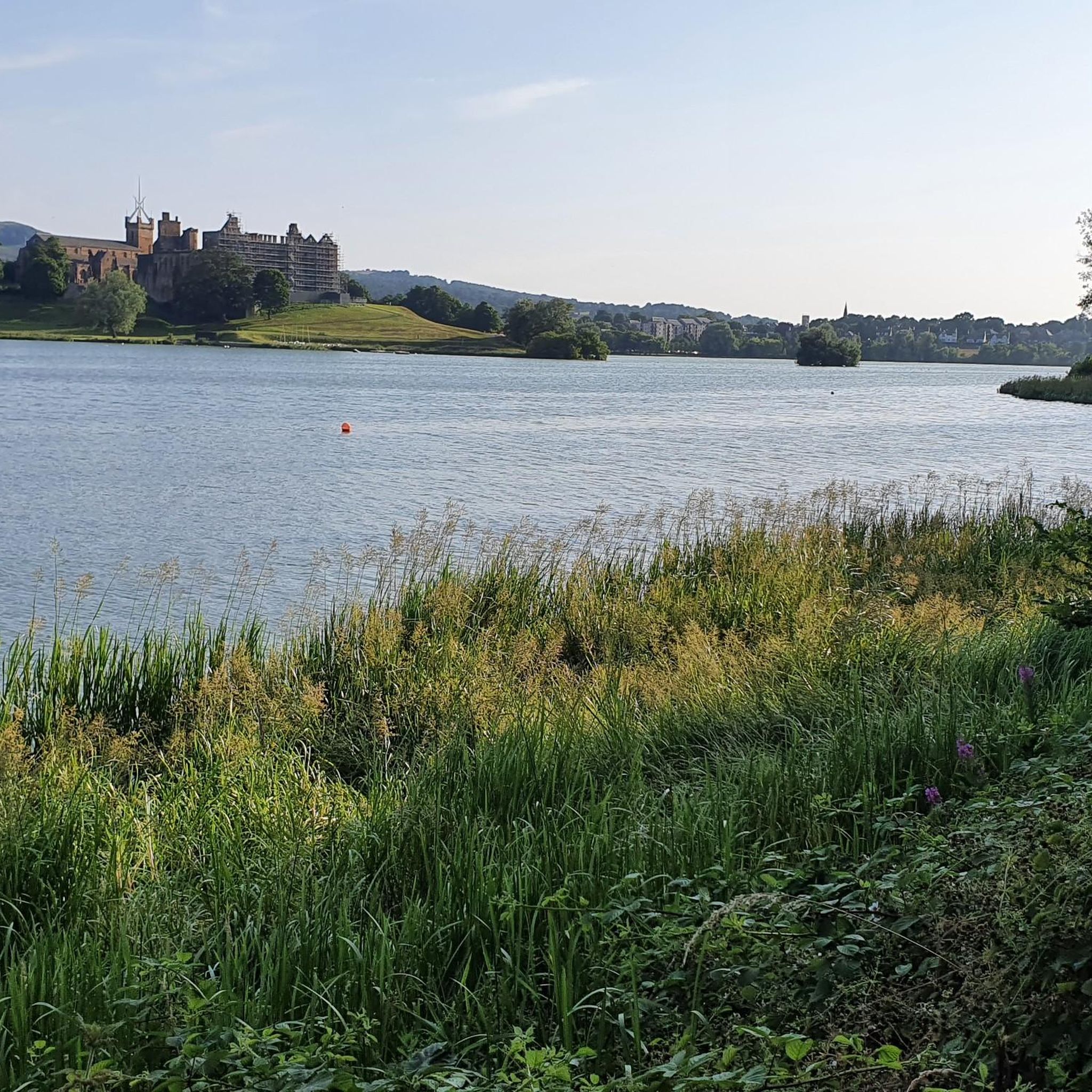
Linlithgow Loch
Highlight • Lake
Tip by

Pike's Pool
Highlight • Lake
And if you come here, you might as well head along to Norman Arch, another highlight along this path.
Tip by

Start today with a free account
Your next adventure awaits.
Login or Signup
Popular around Linlithgow And Linlithgow Bridge
7 hikes in the lush landscapes of Scotland
Cycling around Linlithgow And Linlithgow Bridge
Hiking around Linlithgow And Linlithgow Bridge
Road Cycling Routes around Linlithgow And Linlithgow Bridge
Running Trails around Linlithgow And Linlithgow Bridge
MTB Trails around Linlithgow And Linlithgow Bridge

Gravel biking around Linlithgow And Linlithgow Bridge
Other adventures around Linlithgow And Linlithgow Bridge

Tips from the Community

A bit overgrown when I was there which did make it a little difficult to traverse (locals were complaining about how Edinburgh council doesn’t maintain the area and they preferred being part of West Lothian council as at least they kept the area tidy - for less council tax too!), but it’s still pretty and there’s lots of wildlife (swans, ducks, and a heron today). And if you come here, you might as well head along to Norman Arch, another highlight along this path.
0
0


Beecraigs is actually a reservoir built between 1914 - 1918 by German prisoners of war. It was used to supply drinking water but was decommissioned as a reservoir in 1972. It became part of Beecraigs country park in 1980 and is now a popular fishing and walking destination. The path around the edge of the loch is a nice short walk mostly under tree cover.
0
0
Limekilns is a village on the Firth of Forth. The village dates to at least the 14th century. It has a good natural harbour which created a good place to ferry goods and fish from. Later the port became more industrialised and would have been involved in the quicklime processing before the large kilns were built in Charlestown upstream. Running from here along the coast and inland on the network of minor roads and trails is nice, nothing is particularly hard or exciting but it's a good place for a pretty run or to get some miles in.
0
0

Refreshments The Bruce Arms: https://www.brucearmslimekilns.co.uk/ Location: https://goo.gl/maps/PusbkTcYC9UNYtrm9 The Ship Inn: https://www.the-ship-inn-limekilns.co.uk/ Location: https://goo.gl/maps/gQvyrRsV6jgxQ7px8 The Sundial Cafe: https://www.facebook.com/SundialCafeLimekilns Location: https://goo.gl/maps/8KNnrMD6ocn5uvCQ9 The Church Tea Room: https://www.limekilnschurch.org/tearoom.html Location: https://goo.gl/maps/TPzbMoMRw5s66vLx6
1
0
The Scottish Outdoor Access Code A practical guide for all - https://www.outdooraccess-scotland.scot/practical-guide-all Car parking: https://www.outdooraccess-scotland.scot/practical-guide-all/out-and-about/car-parking Field edges - https://www.outdooraccess-scotland.scot/practical-guide-all/fields-crops Dog walking - https://www.outdooraccess-scotland.scot/practical-guide-all/dog-walking Farm animals - https://www.outdooraccess-scotland.scot/practical-guide-all/farm-animals Farmyards: https://www.outdooraccess-scotland.scot/practical-guide-all/property/farmyards Houses & Gardens: https://www.outdooraccess-scotland.scot/practical-guide-all/property/houses-and-gardens The Highway Code – Pedestrians: https://www.gov.uk/guidance/the-highway-code/rules-for-pedestrians-1-to-35
0
0
Not a comprehensive list, but some safety and equipment information to consider before walking any route..... --------------- Safety You may have to divert from the route if it has changed since it was documented. Vegetation growth may make some sections of a route more difficult to navigate during summer months Is there time to complete the route before sunset. Consider the expected weather forecast - temperature, wind, rain or ice. A phone signal may not always be available. Let others know your intended route. Know your location from a map or what3words. Allow others to know your location via Google Maps or Walking Apps such as Komoot and outdooractive ----------------- Equipment Not comprehensive list, but some equipment you may require Footwear, walking poles & spare laces. Phone, battery backup pack & emergency contact details. Rucksack, waterproof clothing, watch, extra layers of clothing, foot blister patches, food, water, sun cream, torch, paracetamol, whistle, hat & gloves. First aid kit and any medication required. Survival bag.
0
0
Most popular routes around Linlithgow And Linlithgow Bridge
Most popular attractions around Linlithgow And Linlithgow Bridge

Get inspired with the komoot mobile app


Explore more
Still not found your perfect lake around Linlithgow And Linlithgow Bridge? Check out the guides of these regions to see even more beautiful places.
