The best walks and hikes in Blythe River Conservation Area
5.0
(1)
44
hikers
5
hikes
Hiking opportunities within Blythe River Conservation Area Tasmania are primarily found within a 910-hectare forested catchment in the City of Burnie. This region is characterized by eucalypt forests with a dense understorey, and the Blythe River flowing towards Bass Strait. Sushames Hill stands as the highest and most prominent landmark within the conservation area. The terrain offers varied elevation changes suitable for bushwalking.
Best hiking trails in Blythe River Conservation Area
- The most popular hiking route is Fern Glade Reserve…
Last updated: July 2, 2026
7
hikers
5.60km
01:31
80m
80m
Easy hike. Great for any fitness level. Easily-accessible paths. Suitable for all skill levels.
5
hikers
10.0km
02:41
120m
120m
Moderate hike. Good fitness required. Easily-accessible paths. Suitable for all skill levels.

Sign up for free
10
hikers
7.42km
01:54
30m
30m
Easy hike. Great for any fitness level. Easily-accessible paths. Suitable for all skill levels.
5.0
(1)
5
hikers
8.82km
03:43
650m
650m
Moderate hike. Good fitness required. Mostly accessible paths. Sure-footedness required.
6
hikers
1.89km
00:47
150m
150m
Easy hike. Great for any fitness level. Easily-accessible paths. Suitable for all skill levels.
Our route recommendations are based on thousands of hikes, rides, and runs completed by other people on komoot.
Start today with a free account
Your next adventure awaits.
Login or Signup
Popular around Blythe River Conservation Area
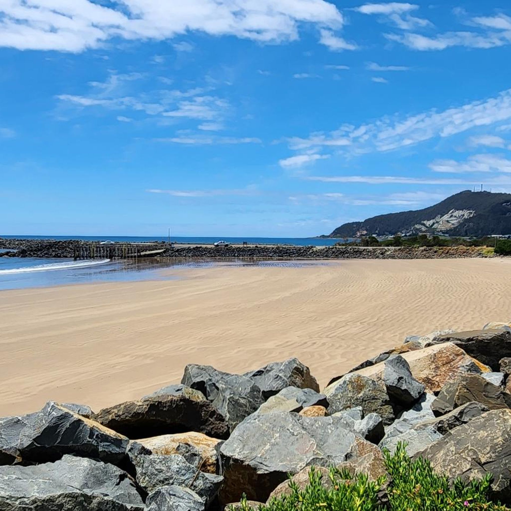

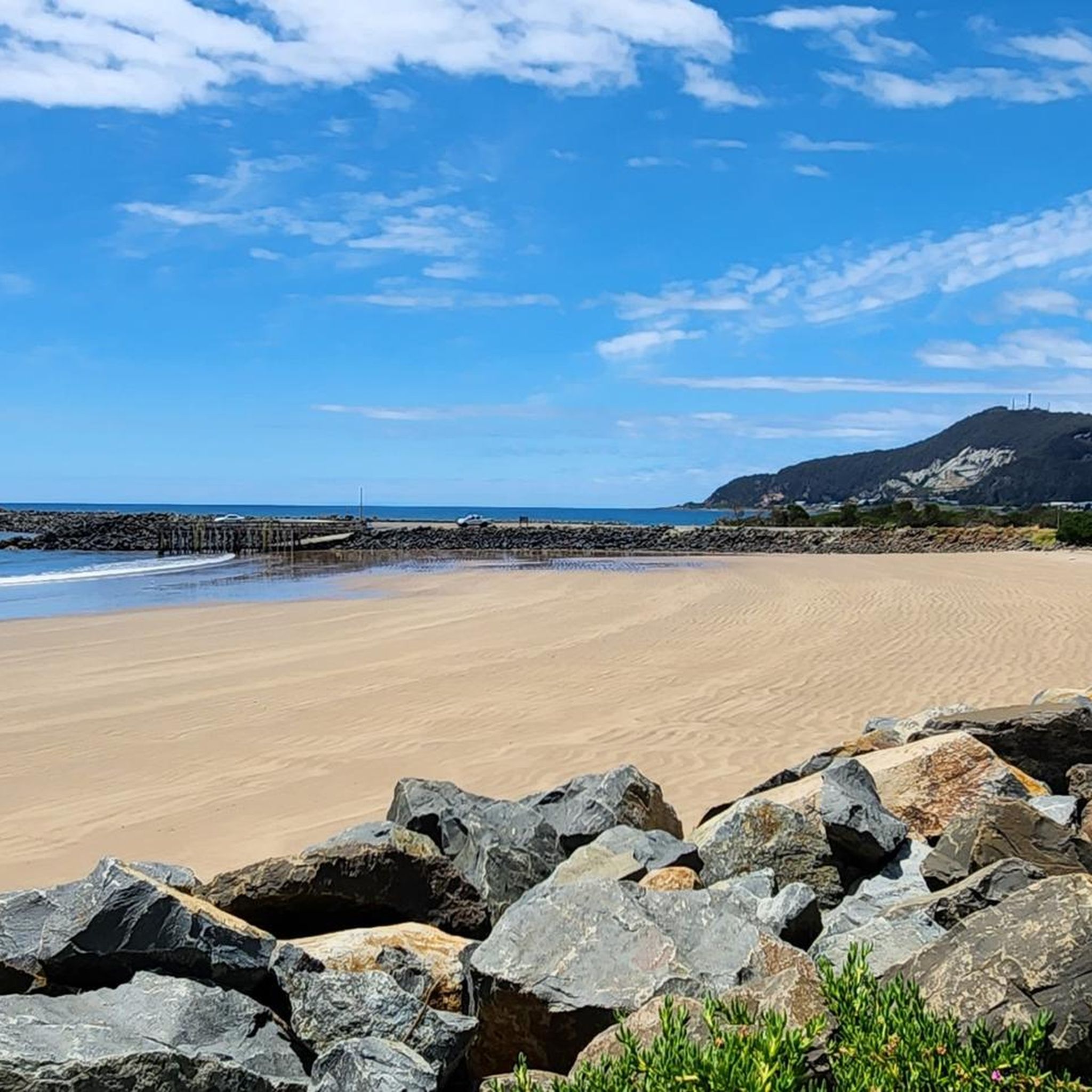
Tips from the Community

It is wonderful to walk along the river here. The slope on the other side of the river is overgrown with trees and palm trees that are idyllically reflected in the water. Certainly a great place to spot Platypus, but we are in nature and there are no guarantees. The walk is definitely nice.
1
0
Frequently Asked Questions
What kind of terrain can I expect when hiking in the Blythe River Conservation Area?
The Blythe River Conservation Area is characterized by its forested terrain, primarily eucalypt forests with a dense understorey. You'll find varied elevation changes suitable for bushwalking, including hills like Sushames Hill, which is the highest and most prominent landmark in the area. The Blythe River itself flows through the area towards Bass Strait, offering riverine landscapes.
Are there any easy hiking trails suitable for beginners or a relaxed walk?
Yes, the area offers several easy trails. For a gentle exploration, consider the Fern Glade Reserve loop from Emu Heights, which is an easy 5.6 km route. Another accessible option is the Red Rock Point loop from Montello, covering 7.4 km with minimal elevation change. For a shorter, easy walk, the Mount Gnomon loop from Mount Gnomon Carkpark is just under 2 km.
What are some moderate hiking options for those looking for more of a challenge?
For a moderate challenge, the West Beach loop from Burnie is a popular choice, offering coastal views over 10.1 km. Another moderate route is the Mount Gnomon – Mount Duncan loop from Mount Gnomon Carkpark, which is 8.8 km and features significant elevation gain through forested hills.
Are there any prominent natural features or landmarks to look out for?
The most prominent natural landmark in the Blythe River Conservation Area is Sushames Hill, which is the highest point in the region. The Blythe River itself is a significant feature, flowing through the forested catchment towards Bass Strait. The area's eucalypt forests and dense understorey also contribute to its natural character.
What do other hikers say about the trails in Blythe River Conservation Area?
The trails in Blythe River Conservation Area are well-regarded by the komoot community, holding an average rating of 4.5 stars. Hikers often appreciate the varied terrain, from gentle loops to more challenging climbs, and the opportunity to explore the region's natural forested landscapes.
Is the Blythe River Conservation Area suitable for bird watching?
Yes, the Blythe River Conservation Area is considered a potential destination for bird watching. The diverse forested environment and riverine landscapes suggest a variety of avian species may be present, offering opportunities for bird enthusiasts.
How many hiking routes are available in the Blythe River Conservation Area?
There are approximately 5 hiking routes documented within the Blythe River Conservation Area, offering a range of options from easy walks to moderate climbs through the region's unique forested and riverine landscapes.
Are there any circular walks available in the area?
Yes, several routes in the Blythe River Conservation Area are circular. Examples include the Fern Glade Reserve loop from Emu Heights, the West Beach loop from Burnie, and the Mount Gnomon – Mount Duncan loop from Mount Gnomon Carkpark, allowing you to start and finish at the same point.
What is the best time of year to go hiking in the Blythe River Conservation Area?
While specific seasonal recommendations are not detailed, Tasmania generally offers pleasant hiking conditions during spring (September-November) and autumn (March-May) with milder temperatures. Summer (December-February) can be warm, and winter (June-August) brings cooler, wetter weather, though the forested trails can still be enjoyed.
Where is the Blythe River Conservation Area located?
The Blythe River Conservation Area is located in Tasmania, Australia, specifically within the City of Burnie. It covers an area of approximately 910 hectares and is situated in the southern part of the Blythe River catchment.
Are there any resources for more detailed information about the Blythe River catchment?
For a comprehensive technical report on the Blythe River catchment, you can refer to the document available on the Tasmanian government's website: Blythe River Catchment Report. This provides detailed ecological and environmental information about the area.

Get inspired with the komoot mobile app


Explore more
Browse the best Hikes in other regions.
