The best cycling routes around Area C (Lois Lake/Saltery Bay)
24
riders
3
rides
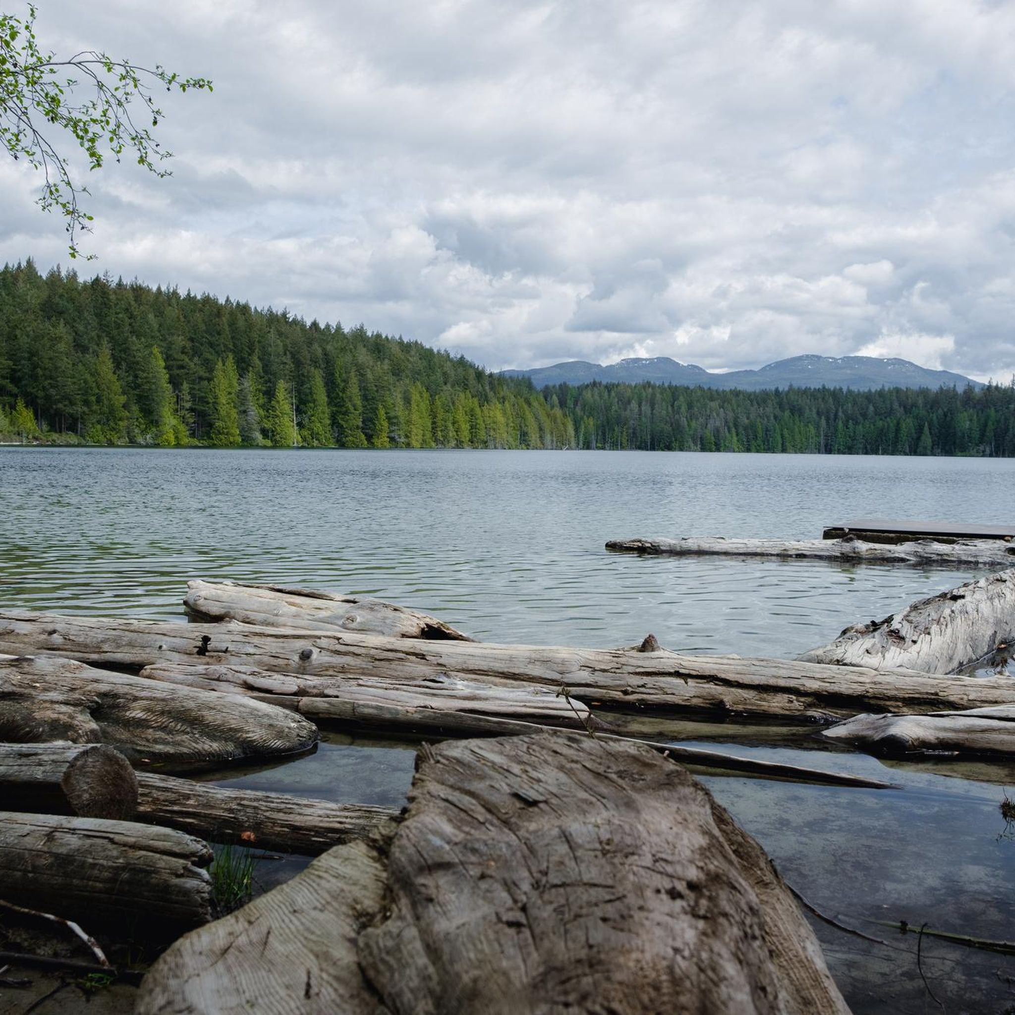
Touring cycling around Area C (Lois Lake/Saltery Bay) offers routes through rugged mountains, expansive valleys, and old-growth forests. The region features pristine lakes such as Lois Lake and coastal shorelines with views of Jervis Inlet and the Strait of Georgia. Cyclists can expect varied terrain, from challenging ascents to more gentle paths along the water.
Best touring cycling routes around Area C (Lois Lake/Saltery Bay)
- The most popular touring cycling route is Totem Pole Viewpoint loop from Powell River,…
Last updated: July 15, 2026
12
riders
61.6km
04:00
820m
820m
Hard bike ride. Very good fitness required. Mostly paved surfaces. Suitable for all skill levels.
8
riders
12.9km
01:16
130m
130m
Easy bike ride. Great for any fitness level. Mostly paved surfaces. Suitable for all skill levels.

Sign up for free
4
riders
19.4km
01:56
310m
310m
Moderate bike ride. Good fitness required. Mostly paved surfaces. Suitable for all skill levels.
Our route recommendations are based on thousands of hikes, rides, and runs completed by other people on komoot.
Start today with a free account
Your next adventure awaits.
Login or Signup
Popular around Area C (Lois Lake/Saltery Bay)
Tips from the Community

Serious Coffee has great coffee and pastries at reasonable prices
0
0

Bus to Powell River. $3 Bicycles free of charge. Space for two bikes. Bus only runs twice a day! Note travel times
0
0
Frequently Asked Questions
How many touring cycling routes are available in Area C (Lois Lake/Saltery Bay)?
There are several touring cycling routes available in Area C (Lois Lake/Saltery Bay), offering diverse experiences. The komoot community has mapped 3 routes, ranging from easy to difficult, allowing cyclists to choose based on their skill level and desired challenge.
What kind of terrain and elevation can I expect on touring cycling routes in Area C?
Touring cycling in Area C features varied terrain, from rugged mountains and expansive valleys to old-growth forests and coastal shorelines. Routes like the Totem Pole Viewpoint loop from Powell River are challenging, with significant elevation gain (over 800 meters). Other routes, such as the Bike loop from Inland Lake Campground, offer easier rides with more gentle ascents, often through forested areas.
Are there any family-friendly touring cycling routes in Area C?
Yes, there are options suitable for families. The Bike loop from Inland Lake Campground is an easy 12.9 km route that takes about 1 hour 15 minutes to complete, leading through forested areas. This route has minimal elevation gain, making it a good choice for a relaxed family outing.
What natural features and viewpoints can I see along the cycling routes?
Area C offers breathtaking natural features. You can expect to cycle past pristine lakes like Lois Lake, Rainy Day Lake, and Elephant Lake, and enjoy panoramic ocean views of Jervis Inlet and the Strait of Georgia. The region is also home to old-growth forests and scenic coastal shorelines. While cycling, you might spot diverse wildlife such as bald eagles, herons, waterfowl, otters, deer, and squirrels.
Are there any specific landmarks or attractions worth visiting near the cycling routes?
Yes, the region has several notable attractions. The Sunshine Coast Trail (SCT) passes through Area C, offering unique shelters and viewpoints. You can find the Tin Hat Hut, which provides an epic 360-degree mountain-top lookout, or the Fairview Bay Hut, offering serene ocean views and a nearby sandy beach. The Rainy Day Lake Shelter is also near a lake perfect for cool swims.
What is the best time of year for touring cycling in Area C?
The region is generally appealing for cycling during warmer months when the weather is mild and trails are clear. While specific seasonal advice isn't detailed for touring cycling, the natural beauty of coastal shorelines, forests, and lakes is best enjoyed from spring through fall. Winter cycling options would be limited due to weather conditions.
Are there any circular touring cycling routes in Area C?
Yes, several routes are designed as loops. For example, the Totem Pole Viewpoint loop from Powell River is a challenging 61.6 km route. Another option is the Mud Lake – Deer Lake loop from Duck Lake Protected Area, which is a moderate 18.3 km path offering a mix of terrain.
What are the options for parking and trailhead access for bike routes?
While specific parking details for each komoot route are not provided, the region is accessible by car. For multi-day tours, roadside campgrounds like Saltery Bay Provincial Park offer convenient overnight stays. The Sunshine Coast Highway (Highway 101) serves as a main artery, connecting various points of interest and potential trailheads.
Is public transport available to reach the cycling trails in Area C?
The primary public transport connection for multi-day cycle tours along the Sunshine Coast Highway is the ferry service between Earl's Cove and Saltery Bay. This allows cyclists to connect different parts of the Sunshine Coast. However, local public transport directly to specific trailheads within Area C may be limited, so planning for personal vehicle access or shuttle services is advisable.
Where can I find accommodation or places to eat near the cycling routes?
The region offers various amenities for visitors. Roadside campgrounds, including Saltery Bay Provincial Park, provide convenient overnight stays. While specific cafes and pubs directly on the routes are not detailed, the Sunshine Coast Highway weaves through shoreline communities where you can find dining and accommodation options. The Fairview Bay Hut, for instance, is located a two-hour hike from the Saltery Bay ferry terminal and offers a serene spot with ocean views.
What gear should I consider for touring cycling in Area C?
Given the diverse terrain, including rugged mountains, gravel roads, and potentially singletrack, a touring bike capable of handling varied surfaces is recommended. For routes like the Powell River Sampler, which includes loamy singletrack and gravel, a bikepacking setup might be ideal. Always carry essentials like repair kits, sufficient water, and appropriate clothing for changing weather conditions, especially when exploring old-growth forests and coastal areas.
Are there any less crowded touring cycling routes or areas to explore?
While specific 'less crowded' routes are not explicitly identified, the region offers a vast network of trails and roads. Exploring sections of the Sunshine Coast Trail (SCT) that are less frequented by hikers, or venturing onto gravel roads away from the main Highway 101, could provide a more secluded experience. The Mud Lake – Deer Lake loop from Duck Lake Protected Area offers a mix of terrain through natural areas, which might provide a quieter ride.
Most popular routes around Area C (Lois Lake/Saltery Bay)
Most popular attractions around Area C (Lois Lake/Saltery Bay)

Get inspired with the komoot mobile app


Explore more
Browse the best Cycling routes in other regions.
