The best road cycling routes in Big Buck Wildlife Area
1.7
(3)
101
riders
11
rides
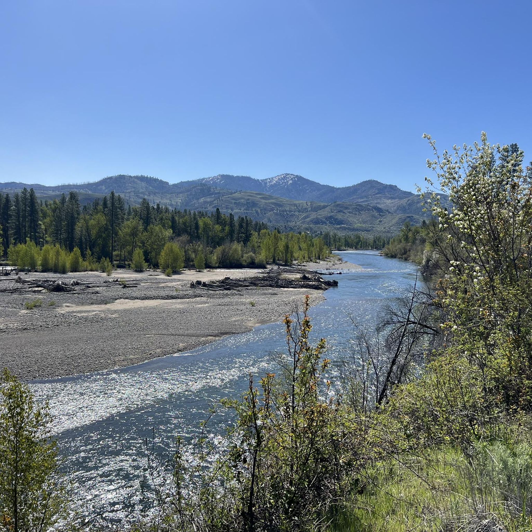
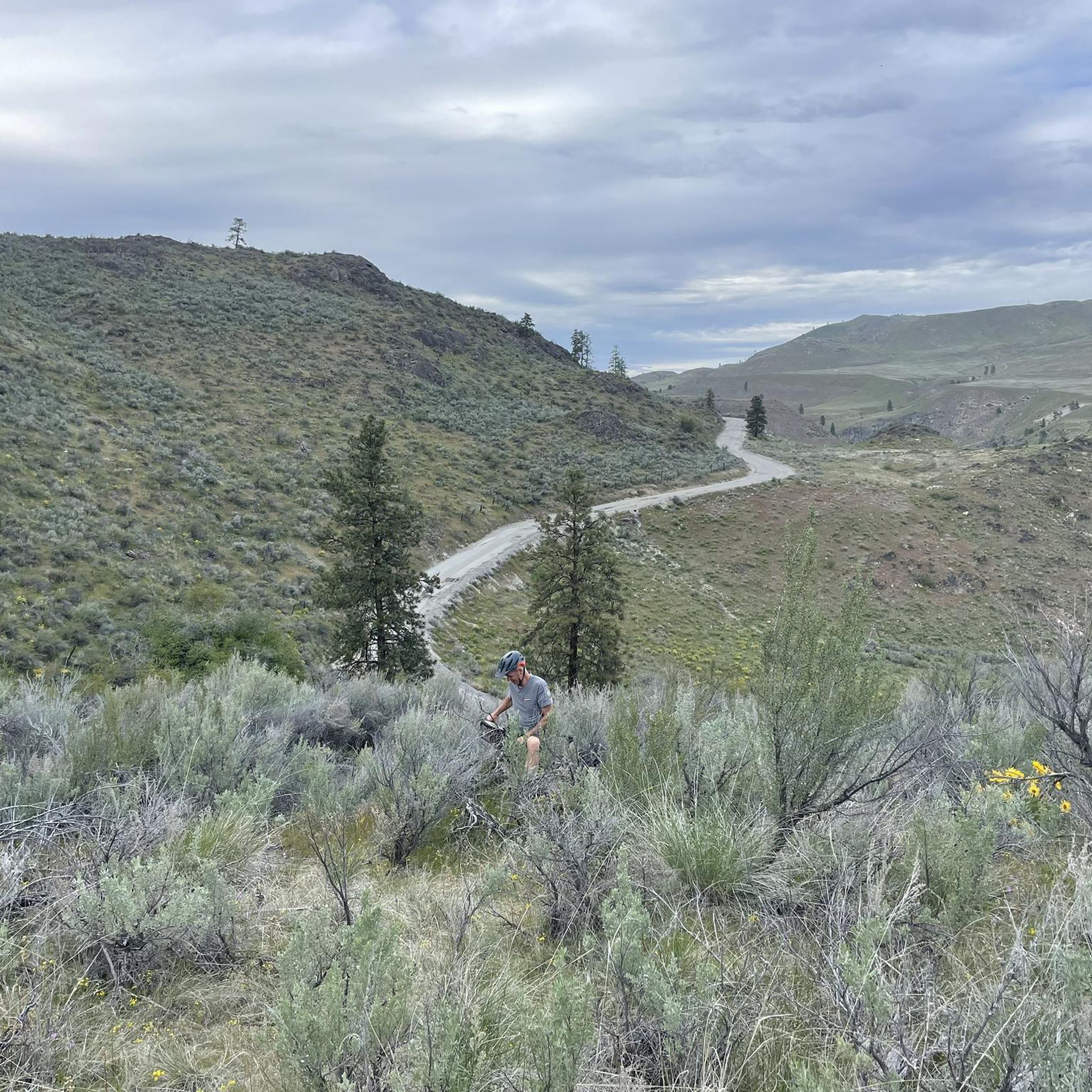
Road cycling in Big Buck Wildlife Area offers routes through varied natural landscapes, characterized by river valleys and connecting local towns. The terrain includes gradual ascents and descents, with some routes featuring over 1,000 feet of elevation gain. These road bike trails provide opportunities to explore the area's natural environment and local communities.
Best road cycling routes in Big Buck Wildlife Area
- The most popular road cycling route is Roadbike loop from Twisp River, a 19.7 miles (31.7 km)…
Last updated: July 6, 2026
4
riders
31.7km
02:07
660m
660m
Moderate road ride. Good fitness required. Mostly well-paved surfaces and easy to ride.
7
riders
41.4km
02:09
440m
440m
Moderate road ride. Good fitness required. Mostly well-paved surfaces and easy to ride.

Sign up for free
1.0
(1)
12
riders
34.0km
01:24
200m
200m
Easy road ride. Great for any fitness level. Mostly well-paved surfaces and easy to ride.
14
riders
30.6km
01:38
380m
380m
Moderate road ride. Good fitness required. Mostly well-paved surfaces and easy to ride.
3.0
(1)
27
riders
24.0km
01:11
190m
190m
Easy road ride. Great for any fitness level. Mostly well-paved surfaces and easy to ride.
Get access to more routes and recommendations from other explorers.
Sign up for free
Already have an account?
Our route recommendations are based on thousands of hikes, rides, and runs completed by other people on komoot.
Start today with a free account
Your next adventure awaits.
Login or Signup


Tips from the Community

Twisp is a lovely little town located along Highway 20. There is an art gallery, a post office, and cafés. Take a stroll and grab a bite in one of the small restaurants.
0
0

The North Cascades Smokejumper Base is known as the birthplace of modern smokejumping. Operating since the 1940s, this base still trains elite firefighters who parachute into remote wilderness areas to fight wildfires. Visitors can take guided tours that walk you through the parachute loft, training towers, gear rooms, and aircraft area, and see how smokejumpers prepare for rapid-response fire missions.
0
0
Winthrop is a lovely small Wild West town in the heart of the Northern Cascades. There are restaurants, cafés, two outfitters and accommodation. Try the ice cream along Main Street! The town is also becoming more and more popular as a resupply point for hikers of the Pacific Crest Trail. The outfitters are well-sorted and at least one is doing the Darn Tough socks exchange.
4
0
Frequently Asked Questions
What is the general difficulty level of road cycling routes in Big Buck Wildlife Area?
Road cycling in Big Buck Wildlife Area offers a range of difficulties. Out of the 10 available routes, 2 are considered easy, 7 are moderate, and 1 is difficult. This variety ensures options for cyclists of different skill levels.
How long are the road cycling routes in Big Buck Wildlife Area?
The road cycling routes in Big Buck Wildlife Area vary in length. For instance, the Roadbike loop from Twisp River is 19.7 miles (31.7 km), while the Winthrop – Twisp loop from Liberty Bell Junior-Senior High School extends to 29.8 miles (47.9 km). Most routes fall within the 20-30 mile range, typically taking between 1.5 to 2.5 hours to complete.
Where can I find parking for road biking in Big Buck Wildlife Area?
Many road cycling routes in Big Buck Wildlife Area start from or pass through local towns like Twisp and Winthrop, where public parking is generally available. Specific starting points for routes include areas near Twisp River, the North Cascades Smokejumper Base, Liberty Bell Junior-Senior High School, and Little Twin Lake. It's advisable to check local regulations for parking in these areas.
Are there any family-friendly road cycling routes in Big Buck Wildlife Area?
Yes, there are family-friendly options, particularly among the easier routes. The Twisp – Winthrop loop from Twisp is an easy 21.1 miles (34.0 km) route with less elevation gain, making it suitable for families looking for a more relaxed ride through river valleys and between towns.
What is the best time of year for road biking in Big Buck Wildlife Area?
The best time for road biking in Big Buck Wildlife Area is typically from late spring through early autumn (May to October). During these months, the weather is generally mild, and roads are clear of snow, offering optimal conditions for enjoying the natural landscapes and river valleys. Always check local weather forecasts before heading out.
Can I spot wildlife while road biking in Big Buck Wildlife Area?
As a wildlife area, there are opportunities to spot local fauna, especially in quieter sections of the routes that pass through natural landscapes and river valleys. Keep an eye out for deer, various bird species, and other small mammals. Remember to maintain a respectful distance and avoid disturbing any animals you encounter.
Are there loop road cycling trails available in Big Buck Wildlife Area?
Yes, many of the road cycling routes in Big Buck Wildlife Area are designed as loops, offering convenient starting and ending points. Examples include the popular Roadbike loop from Twisp River, the North Cascades Smokejumper Base – Twisp loop from Twisp, and the Winthrop loop from Little Twin Lake.
What kind of scenery can I expect on road cycling routes in Big Buck Wildlife Area?
Road cycling in Big Buck Wildlife Area offers diverse scenery, primarily characterized by picturesque river valleys, expansive natural landscapes, and charming small towns like Twisp and Winthrop. You'll experience a mix of open roads, forested sections, and views of the surrounding terrain, often with gradual ascents and descents.
Are there cafes or places to refuel along the road cycling routes?
Many routes connect or pass through the towns of Twisp and Winthrop. These towns offer various amenities, including cafes, restaurants, and small shops where you can refuel, grab a snack, or take a break. It's a good idea to plan your route to include these stops if you anticipate needing refreshments.
What do other road cyclists enjoy most about road cycling in Big Buck Wildlife Area?
Road cyclists frequently praise the varied natural landscapes, the scenic river valleys, and the charming small towns connected by the routes. The area is appreciated for its mix of easy to moderate challenges and the opportunity to explore the region's environment.
How much elevation gain can I expect on road cycling routes in Big Buck Wildlife Area?
The elevation gain on road cycling routes in Big Buck Wildlife Area varies. Some routes feature significant climbs, such as the Roadbike loop from Twisp River, which has over 2,100 feet (664 meters) of elevation gain. Other routes, like the Twisp – Winthrop loop from Twisp, have more modest gains of around 650 feet (197 meters).
Are there any advanced road cycling routes for experienced riders?
Yes, for experienced riders seeking a challenge, there is at least one difficult route available. While specific details for the most difficult route are not provided, routes with higher elevation gains, such as the Roadbike loop from Twisp River, offer a substantial workout with over 2,100 feet of climbing.
Most popular routes in Big Buck Wildlife Area

Get inspired with the komoot mobile app


Explore more
Browse the best Road cycling routes in other regions.
