The best running trails in Camels Hump State Forest
58
runners
7
runs
Jogging in Camels Hump State Forest offers access to an extensive trail network within the Green Mountains. The region features northern hardwood forests, protected waterways, and tributaries of Ridley Creek and the Mad River. While the iconic Camel's Hump peak is adjacent, the combined area provides diverse terrain for running. This landscape includes varied surfaces from packed earth to gravel, suitable for different jogging preferences.
Best jogging routes in Camels Hump State Forest
- The most popular jogging route is Running…
Last updated: July 1, 2026
3
runners
10.4km
01:19
400m
400m
Hard run. Very good fitness required. Mostly paved surfaces. Suitable for all skill levels.
11
runners
8.35km
00:55
190m
190m
Moderate run. Good fitness required. Mostly paved surfaces. Suitable for all skill levels.

Sign up for free
7
runners
8.55km
01:35
720m
720m
Hard run. Very good fitness required. Mostly paved surfaces. Suitable for all skill levels.
18
runners
Hard run. Very good fitness required. Mostly paved surfaces. Suitable for all skill levels.
3
runners
8.81km
01:02
280m
280m
Moderate run. Good fitness required. Mostly paved surfaces. Suitable for all skill levels.
Get access to more routes and recommendations from other explorers.
Sign up for free
Already have an account?
Our route recommendations are based on thousands of hikes, rides, and runs completed by other people on komoot.
Start today with a free account
Your next adventure awaits.
Login or Signup


Other adventures in Camels Hump State Forest

Tips from the Community

Avoid highway 100 by taking this lovely side road from Pine Brook Covered Bridge up almost to Moretown
0
0

Great Eddy is the oldest covered bridge still in operation in Vermont. It was built in 1833 and to this day is one of the main routes in and out of Waitsfield.
0
0
Built in 1855, Pine Brook Covered Bridge stands now as it did nearly 180 years ago. Unlike other covered bridges in Vermont, this one hasn't required any reinforcing and will happily take you and your bike across the water, as it would have done for cyclists all that time ago.
1
0
Frequently Asked Questions
How many running routes are available in Camels Hump State Forest?
Camels Hump State Forest offers several dedicated running routes. Our guide features 7 distinct jogging tours, ranging from moderate to difficult, allowing you to explore the diverse terrain of the Green Mountains.
Are there any easy running routes suitable for beginners or a gentle jog?
While many routes in the State Forest are more challenging, the region does offer options for a gentler pace. The Camel's Hump View Trail, a 0.8-mile universally accessible loop, is wide and flat, making it ideal for a light jog or warm-up. Additionally, trails like the Beane Trail (1.5 miles, Easy) and Dean Trail (1.0 mile, Easy-Moderate) are less strenuous and suitable for sustained running.
What are some longer running trails for experienced runners looking for a challenge?
For experienced runners seeking longer distances and significant elevation, Camels Hump State Forest has several options. The Pine Brook Covered Bridge – Great Eddy Covered Bridge loop from Waitsfield is a challenging 17.7 km (11 miles) route. Another demanding option is the Running loop from The Battleground, which covers 10.4 km (6.4 miles) with notable elevation changes.
Can I bring my dog on the running trails in Camels Hump State Forest?
Yes, Camels Hump State Forest is generally dog-friendly. Many trails allow dogs, but it's always recommended to keep them on a leash and practice Leave No Trace principles. Please check specific trail regulations or signage at trailheads for any restrictions.
Are there family-friendly jogging options in the area?
For families looking to jog together, the Camel's Hump View Trail is an excellent choice. This 0.8-mile universally accessible loop is wide, flat, and features three viewing spots of the iconic Camel's Hump summit, making it suitable for all ages and fitness levels.
Where can I find parking for the running trails?
Parking is typically available at designated trailheads throughout Camels Hump State Forest and State Park. Popular starting points often have parking lots. For specific routes, such as the Mount Abraham loop, parking can be found at the Battell Trail Trailhead. Always check local signage for parking regulations.
What is the best time of year to go jogging in Camels Hump State Forest?
Camels Hump State Forest offers four-season recreation. Spring and fall are particularly beautiful, with lush greenery or vibrant foliage. Summer provides warm weather for running, while winter offers unique opportunities for snowshoeing or cross-country skiing on some trails, though conditions for jogging may vary. It's best to avoid the spring 'mud season' on certain trails.
Are there any running routes suitable for winter?
While many trails are used by backcountry skiers and snowshoers in winter, some lower elevation trails and forest roads in the Camel's Hump area can be suitable for winter jogging, especially when conditions are firm. Always check current trail conditions and be prepared for snow and ice.
Are there loop trails available for jogging?
Yes, many of the running routes in Camels Hump State Forest are designed as loops, offering varied scenery without retracing your steps. Examples include the Running loop from Sugarbush Resort and the Mount Abraham loop from Battell Trail Trailhead.
What kind of scenic views can I expect while running?
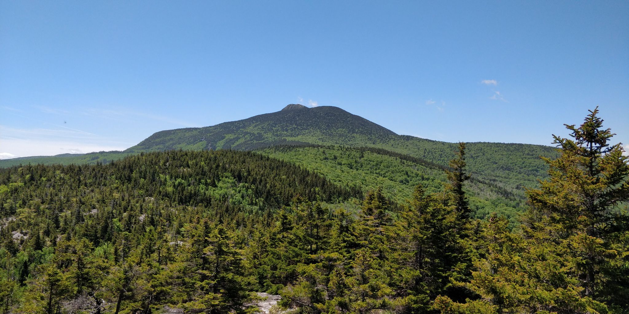
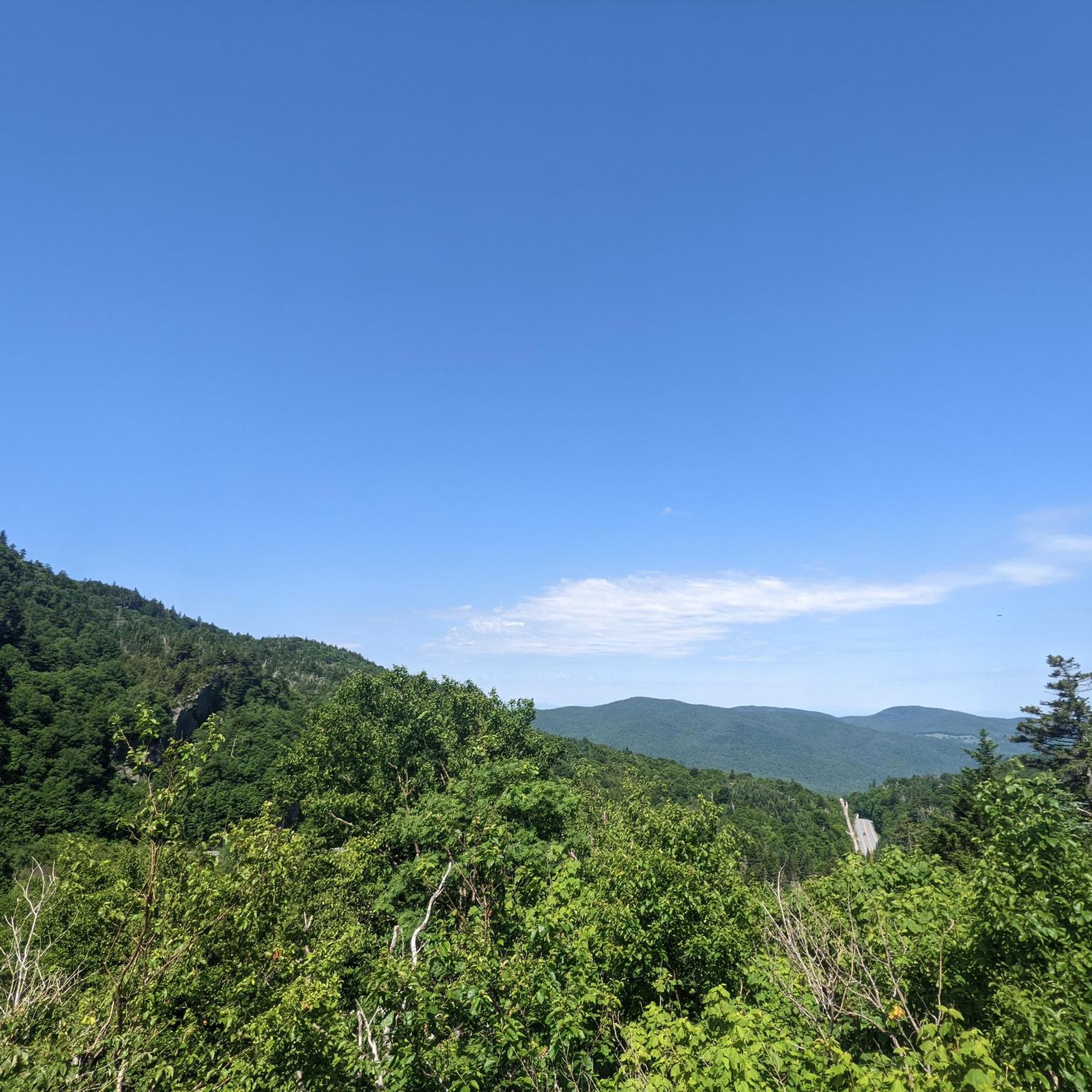
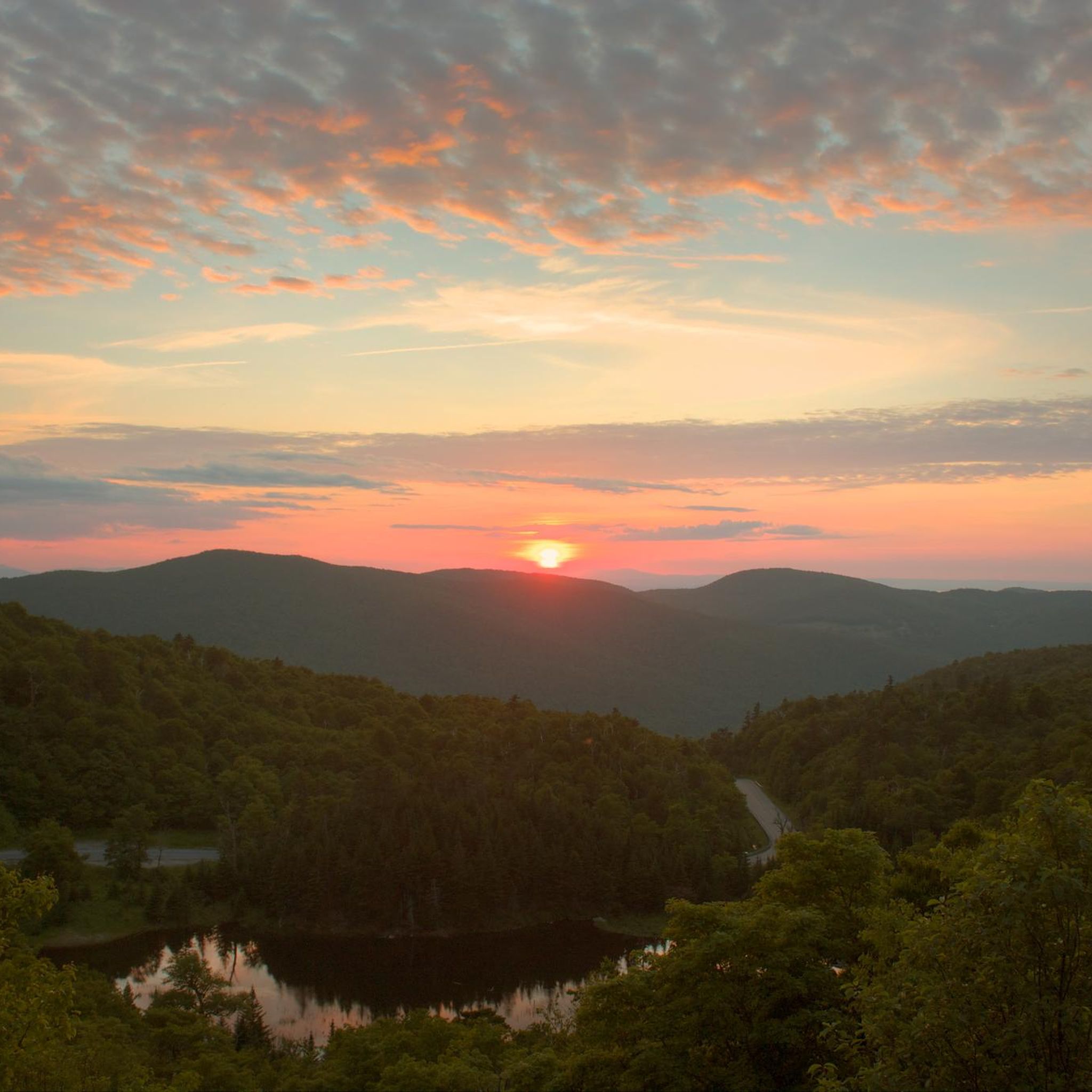
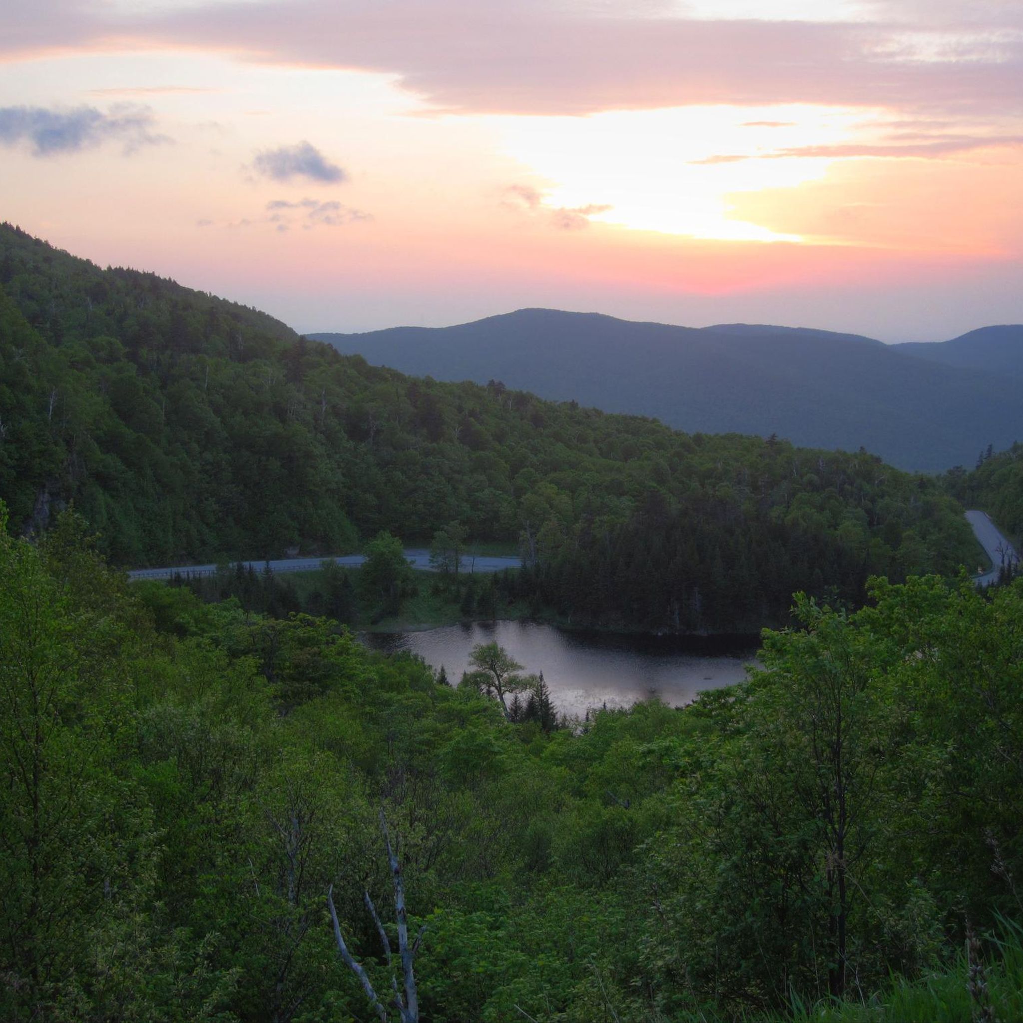
Jogging in Camels Hump State Forest offers stunning natural beauty. You'll experience pristine northern hardwood forests, protected waterways, and tributaries of Ridley Creek and the Mad River. Many trails provide glimpses of the distinctive Camel's Hump mountain, and higher elevations offer spectacular panoramic views of upstate Vermont, Lake Champlain, and the Adirondacks.
Is public transport available to reach the trailheads?
Public transport options directly to all trailheads in Camels Hump State Forest are limited. It is generally recommended to travel by car to access the various starting points. Some local services might connect to nearby towns, but direct trailhead access is not widely available.
Are there any permits required for jogging in the State Forest?
Generally, no specific permits are required for day-use jogging on the trails within Camels Hump State Forest or State Park. However, always be mindful of any posted regulations or special conditions that may apply to certain areas or during specific seasons.
What kind of wildlife might I see while jogging?
The expansive forest and wilderness areas of Camels Hump State Forest are home to diverse wildlife. While jogging, you might spot various bird species, white-tailed deer, and smaller mammals. The ecological area is also preserved for wilderness habitat, offering a chance to observe nature in its pristine state.
Are there cafes or places to eat near the running routes?
While the State Forest itself is a wilderness area, nearby towns such as Waitsfield and the Sugarbush Resort area offer various cafes, restaurants, and pubs where you can refuel after your run. The Running loop from Sugarbush Resort, for example, starts and ends near amenities.
What do other runners say about the trails in Camels Hump State Forest?
The komoot community highly values the running experience in Camels Hump State Forest. Over 50 runners have explored these trails, often praising the challenging elevation changes, the beauty of the northern hardwood forests, and the sense of wilderness. Many appreciate the variety of terrain and the rewarding views from higher points.
Most popular routes in Camels Hump State Forest

Get inspired with the komoot mobile app


Explore more
Browse the best Running Trails & Routes in other regions.
