Top 5 Mountain Passes around Maysville
Best mountain passes around Maysville are primarily found in regions known for significant mountainous terrain. While Maysville, Kentucky, features rolling hills and a riverine landscape, the most notable mountain passes associated with "Maysville" are located near Maysville, Colorado, within the Rocky Mountains. This area offers high-altitude passes that traverse the Continental Divide, providing access to diverse outdoor activities. The landscape is characterized by challenging climbs, scenic viewpoints, and extensive trail networks.
Best mountain passes around Maysville
- The most popular mountain…
Last updated: June 26, 2026
Monarch Pass
Highlight • Mountain Pass
Tip by

Monarch Pass Climb West
Highlight (Segment) • Climb
Tip by

Sign up now to discover places like this
Get recommendations on the best single tracks, peaks, & plenty of other exciting outdoor places.
Sign up for free
Monarch Pass Climb East
Highlight (Segment) • Climb
Tip by
Marshall Pass Road
Highlight (Segment) • Mountain Pass
Tip by

Collegiate Peaks View
Highlight • Viewpoint
Tip by
Start today with a free account
Your next adventure awaits.
Login or Signup
Popular around Maysville

Tips from the Community

Monarch Pass from the east is a classic road biking ascent on US Highway 50, taking you high into the Sawatch Range towards the Continental Divide. Starting around 8,100 feet, you'll climb approximately 11.3 to 11.5 miles, gaining about 3,000 feet to the 11,312-foot summit, with a moderate average gradient around 4.9-5.1% that ramps up slightly after the initial miles. You'll follow the Arkansas River valley and climb through forests, and while you're in the sun for much of this side, the panoramic views from the summit are truly spectacular. Be prepared for the altitude and moderate traffic on this well-traveled mountain highway.
0
0
The Monarch Pass climb from the west, starting in Sargents is a classic and scenic road biking ascent on US Highway 50. Over approximately 10 to 11.5 miles, you'll climb around 2,750 to 2,850 feet at a consistent average gradient between 5% and 6%, winding your way up into the Sawatch Range. As the road is often cut into the mountainside, you'll ride through forested areas with glimpses down to Agate Creek below, and the scenery becomes increasingly open with expansive mountain views as you near the 11,312-foot summit. Be aware that while the road is good, it can have moderate traffic, and you'll be dealing with significant altitude as you climb higher.
0
1

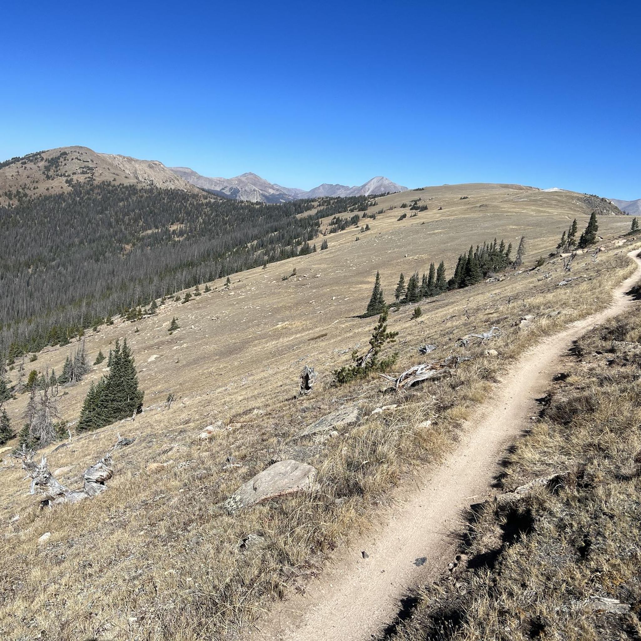
At an elevation of 11,312 feet, Monarch Pass features a gift shop, parking, restrooms, and acts as a trailhead for a number of trails. Mountain bikes frequent the trails from the pass, but they are also great trails for running and hiking.
0
0

Hiking along the Continental Divide Trail, you can either shop in the small gift shop at Monarch Pass or hitch into the town of Salida that has to offer everything a hiker could ask for.
5
0

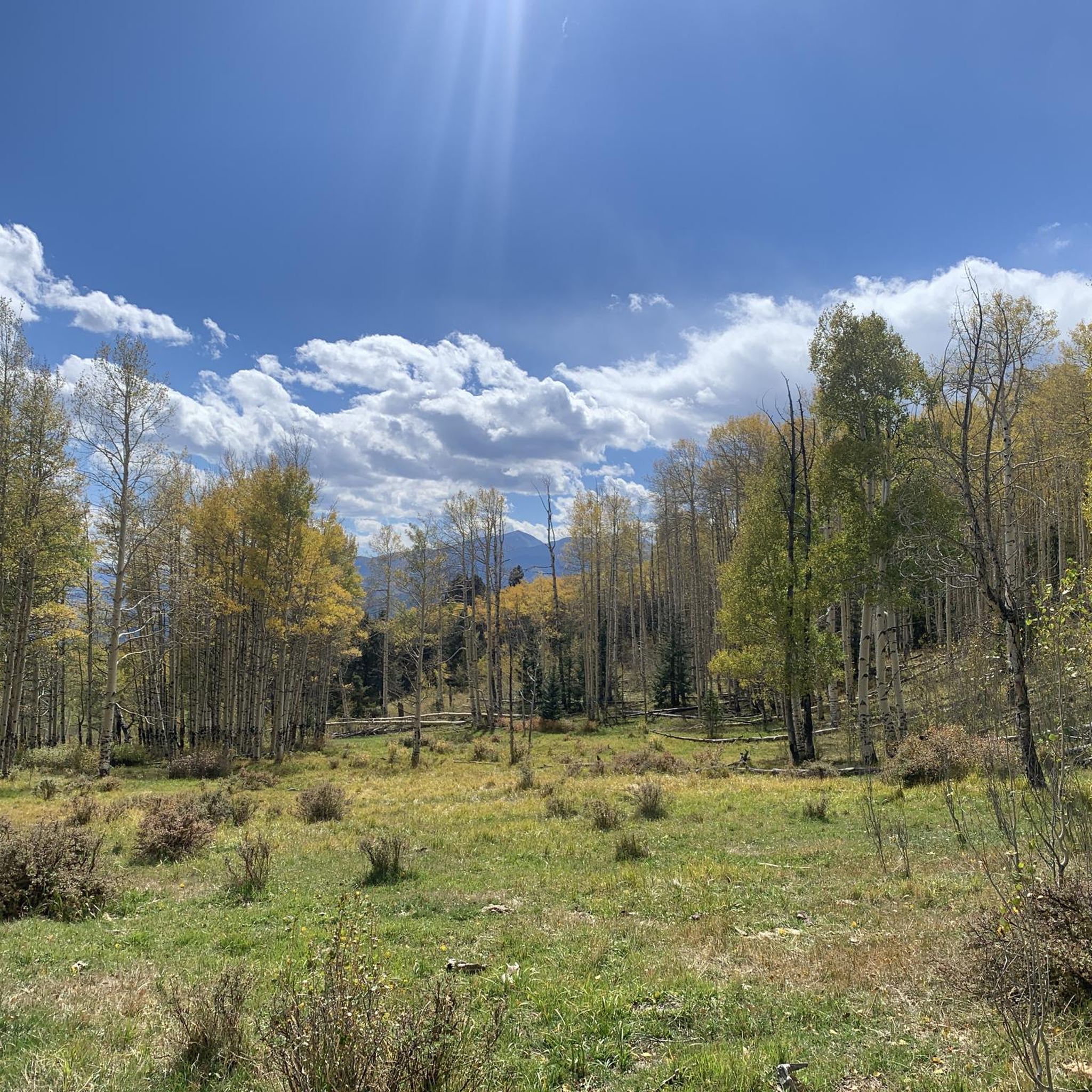
What a great landscape! Some of the mountains have names of prominent universities like Princeton, Yale or Harvard. That's why they are called Collegiate Peaks.
1
0
Monarch Pass is a high mountain pass with an elevation of 11,312 feet. It is the starting point of the infamous IMBA Epic Mountainbike trail "Monarch Crest". Before you take off to this incredible high alpine mountainbike adventure make sure you have enough snacks and water. In case you are lacking one of these, just hit the store next to the parking lot and buy whatever is missing.
1
1
If you want to do loop rides in the region of the Monarch Crest trail this is your go-to climb. Marshall Pass Road is a former railroad that never climbs steeply. When you reach the top you are right at the Monarch Pass at the Continental Divide. Here you have a great variety of trail options like Silver Creek, Starvation Creek or Agate Creek. This gravel road is also an option if you want to get off the Crest as quickly as possible – for instance – if you need to escape a thunderstorm quickly.
1
0
Frequently Asked Questions
Are there traditional mountain passes in Maysville, Kentucky?
No, Maysville, Kentucky, does not feature traditional mountain passes in the way one might find in major mountain ranges. The city's geography is characterized by a narrow river plain along the Ohio River and steep hills rising from it.
What kind of terrain can I expect around Maysville?
The terrain around Maysville is primarily rolling to hilly. It is part of the Outer Bluegrass Region, known for its elevated areas and riverine landscape, rather than rugged mountain ranges with significant passes.
What is the highest elevation in the Maysville area?
The highest elevation in Mason County, where Maysville is located, reaches approximately 1,000 feet. This contributes to the hilly environment but does not constitute the kind of mountain passes found in larger mountain systems.
Are there any notable natural features or viewpoints in Maysville?
While there are no prominent mountain passes, Maysville's hilly landscape and position along the Ohio River offer elevated viewpoints and natural features. The city itself has been described as having the appearance of an 'Italian hill town' due to its elevated areas.
What outdoor activities are popular in the Maysville region given its hilly terrain?
Given the hilly terrain, visitors can enjoy various outdoor activities. While traditional mountain passes are absent, the region's landscape is suitable for activities like hiking and exploring the rolling hills. For specific routes, you might explore options for hiking around Maysville.
Are there any specific trails for mountain biking or running near Maysville?
Although Maysville lacks traditional mountain passes, the komoot community appreciates the diverse outdoor opportunities in the region. You can find various routes for MTB trails around Maysville and running trails around Maysville that utilize the local hilly landscape.
What is the best time to visit Maysville for outdoor activities?
Maysville experiences four distinct seasons. Spring and fall generally offer the most pleasant weather for outdoor activities, with moderate temperatures and beautiful scenery. Summers can be warm and humid, while winters are typically mild but can have occasional cold snaps.
Are there family-friendly outdoor options in Maysville?
Yes, the rolling hills and riverfront areas of Maysville can offer family-friendly outdoor experiences. While not rugged mountain passes, there are parks and local trails suitable for families to enjoy nature and gentle walks.
What kind of wildlife might I spot in the Maysville area?
The natural areas around Maysville, including its hills and riverbanks, are home to various wildlife. You might spot common woodland creatures, various bird species, and aquatic life along the Ohio River.
Where can I find more information about Maysville's geography and history?
For more detailed information about Maysville's unique geography and rich history, you can visit its Wikipedia page: Maysville, Kentucky on Wikipedia.
What makes Maysville's landscape unique if it doesn't have mountain passes?
Maysville's uniqueness stems from its location on a narrow river plain along the Ohio River, with steep hills rising directly from it. This creates a distinctive landscape that, while not mountainous, offers scenic views and a charming, elevated character often compared to an 'Italian hill town'.
Most popular routes around Maysville
Most popular attractions around Maysville

Get inspired with the komoot mobile app


Explore more
See even more epic mountain passes by checking out these guides around Maysville:
