The best walks and hikes around Douro-Dummer
4.3
(6)
53
hikers
10
hikes
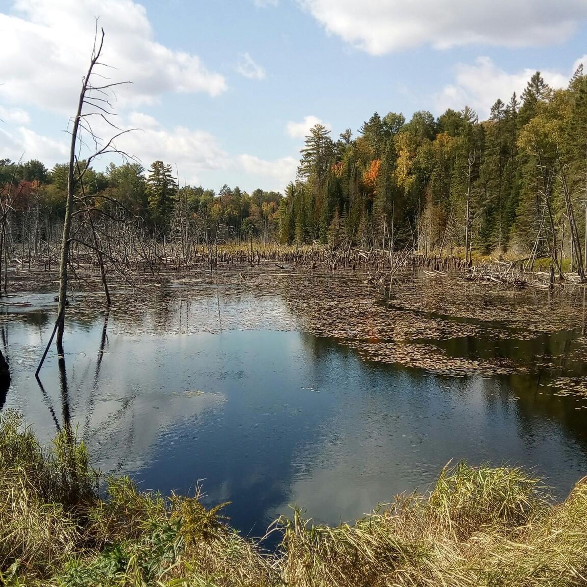
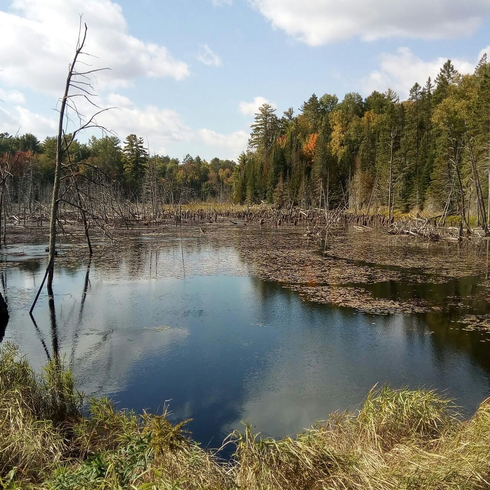
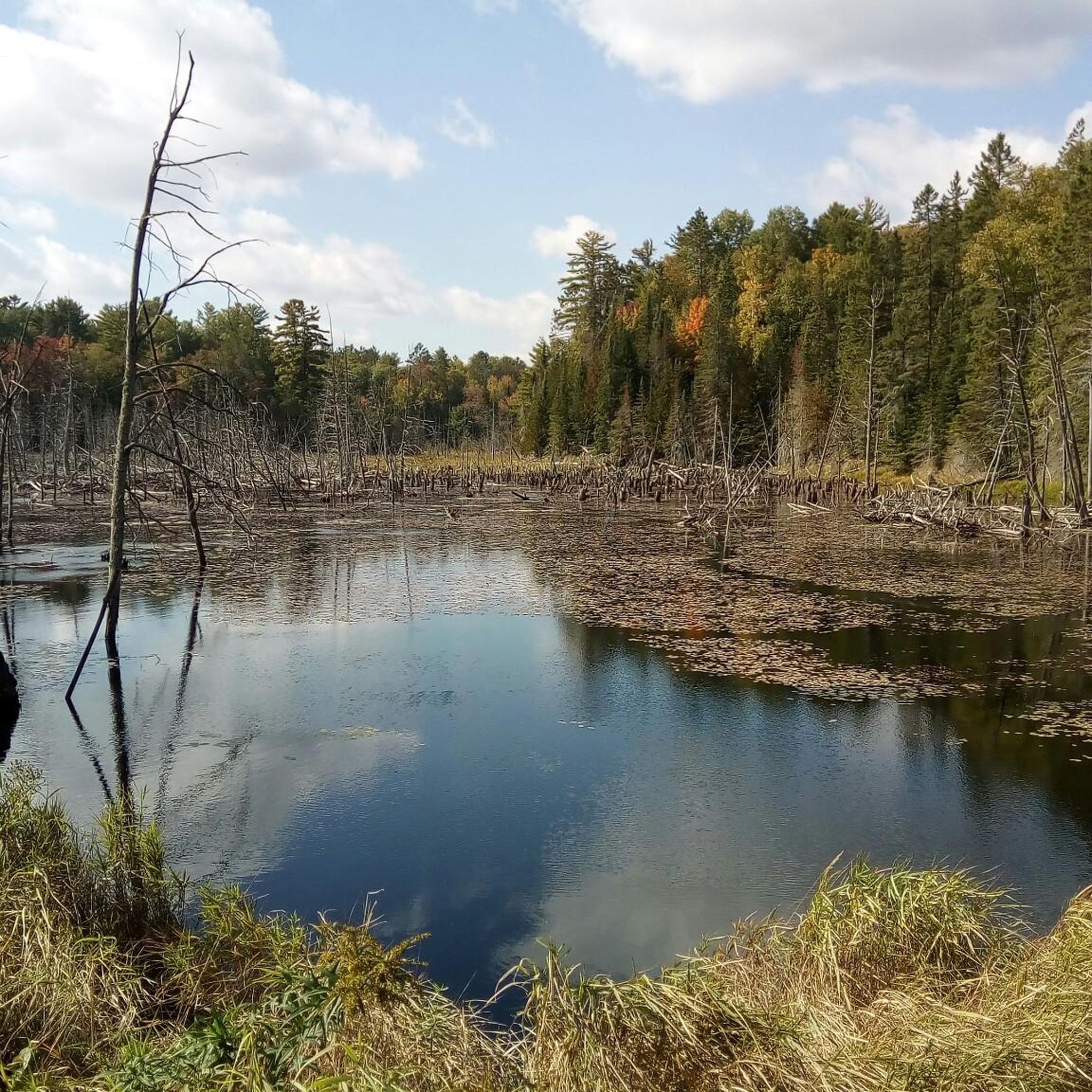
Hiking around Douro-Dummer offers diverse landscapes shaped by glacial activity and natural waterways. The region is characterized by unique drumlins, which are elongated hills, alongside lush forests and numerous lakes such as Clear Lake and Stoney Lake. These features provide varied terrain for outdoor activities, from gentle forest walks to trails traversing glacial formations.
Best hiking trails around Douro-Dummer
- The most popular hiking route is Nanabush Trail – Petroglyphs Provincial Park loop from Craig Island, a 8.1 miles (13.1…
Last updated: August 17, 2026
5.0
(1)
14
hikers
4.79km
01:16
50m
50m
Hike the easy 3.0-mile Main Trail loop in Warsaw Caves Conservation Area, featuring forests, rocky terrain, and the Indian River.
4
hikers
8.98km
02:18
40m
40m
Moderate hike. Good fitness required. Easily-accessible paths. Suitable for all skill levels.

Sign up for free
1
hikers
1.40km
00:23
20m
20m
Easy hike. Great for any fitness level. Easily-accessible paths. Suitable for all skill levels.
15.3km
03:52
30m
30m
Moderate hike. Good fitness required. Easily-accessible paths. Suitable for all skill levels.
1.00km
00:16
10m
10m
Easy hike. Great for any fitness level. Easily-accessible paths. Suitable for all skill levels.
Get access to more routes and recommendations from other explorers.
Sign up for free
Already have an account?
Our route recommendations are based on thousands of hikes, rides, and runs completed by other people on komoot.
Start today with a free account
Your next adventure awaits.
Login or Signup
Popular around Douro-Dummer
Tips from the Community

The Scenic River Road Trail used to be known as part of the Peterborough-Lakefield Rotary Greenway Trail. It stretches 15.6 kilometres from Trent University's Symons Campus to downtown Lakefield. The entire ride is scenic with waterfront views as the trail traces the east bank of the Otonabee River. The trail is made up of flat, smooth crushed gravel, and it is very easy to navigate. In winter, the trail is covered with snow but open to fat tire biking and cross-country skiing.
0
0
This is the Scenic River Road Trail's southern terminus and trailhead. Here you will find maps, benches and a covered picnic table. There is parking in Lot Q at Trent University's Symons Campus, but it is not free.
0
0
The Scenic River Road Trail stretches from Trent University to Lakefield. Here, in Lakefield, is where it becomes the Lakefield Trail. Lakefield is a small town that is popular for the scenic Lakefield Trail, Lock 26 on the Trent-Severn Waterway, and boutique shops in the downtown area. Before Europeans arrived the land belonged to the Mississauga First Nations, and when settlers came locks were built along with a railroad for manufacturing.
0
0

Jackson Park is a beautiful green space in the heart of Peterborough, often referred to as the city’s Central Park, designed between 1894 and 1895 by local engineer John Belcher. The park is a long, winding oasis along Jackson Creek, with a picturesque pond, open grassy areas, woodland trails, a playground, and picnic tables, making it a great spot to spend a few hours soaking up the natural beauty of one of Peterborough’s most beloved parks.
0
0
The Pagoda Bridge is a charming covered bridge over Jackson Creek, situated at the south end of Dixon Mill Pond in Jackson Park in the heart of Peterborough. Built between 1894 and 1895, it's a lovely example of Victorian architecture, with a distinctive bell cast roof that inspired its name. Designated as a heritage property by the City of Peterborough, the bridge is an important part of Jackson Park and its connection to the citizens who contributed to its restoration.
0
0
This lovely multi-use trail follows Jackson Creek through forested areas, open fields, and a beautiful wetland, providing a rich habitat for plants, wildlife, and birds the entire way. The route forms part of the Trans Canada Trail, connecting the Peterborough and Kawartha sections, beginning at Jackson Park, home to the historic Pagoda Bridge. In winter, the trail is machine-groomed for cross-country skiing, making it a great place to explore year-round.
0
0

There is a large crushed gravel parking lot off Highway 7 with access to the Mark S. Burnham trail system. You can find a restroom at the trailhead.
0
0
The park has a short, well-maintained hiking trail that takes you through a patch of old growth hemlock and maple forest. There are benches and informational signs along the path that help to make the walk family-friendly.
0
0
Frequently Asked Questions
How many hiking trails are available in Douro-Dummer?
There are over 6 hiking routes documented in Douro-Dummer on komoot, offering a variety of experiences for outdoor enthusiasts. These trails range from easy walks through forested areas to moderate excursions exploring unique geological features.
Are there easy hiking trails suitable for beginners or families in Douro-Dummer?
Yes, Douro-Dummer offers several easy trails perfect for beginners or families. For instance, the Main Trail loop is an easy 4.8 km path through forested areas with minimal elevation. Another accessible option is the Hiking loop from Trent University, which is a shorter 2.0 km easy route.
What kind of natural features can I expect to see while hiking in Douro-Dummer?
Douro-Dummer's landscape is shaped by glacial activity, featuring unique drumlins (elongated hills) and lush forests. You'll also encounter sparkling lakes such as Clear Lake, Stoney Lake, and Katchewanooka Lake, often connected by the Trent-Severn Waterway. The region also boasts areas like the Robert Johnston Eco Forest Trails, which traverse diverse forest types and wetlands.
Are there any trails that feature unique geological formations or caves?
Yes, the nearby Warsaw Caves Conservation Area is a significant attraction featuring seven caves formed at the end of the ice age, which hikers can explore. Beyond the caves, the conservation area offers scenic trails, making it a unique destination for those interested in geology and exploration.
Can I find circular hiking routes in Douro-Dummer?
Many of the trails in Douro-Dummer are designed as loops, providing convenient circular routes. Examples include the Main Trail loop and the various Nanabush Trail – Petroglyphs Provincial Park loops, which allow you to start and end at the same point.
What do other hikers say about the trails in Douro-Dummer?
The trails in Douro-Dummer are highly regarded by the komoot community, holding an average rating of 4.0 stars from over 5 reviews. Hikers often praise the diverse terrain, from glacial drumlins to serene lake views, and the well-maintained paths that cater to various skill levels.
Are there any cultural or historical landmarks near the hiking trails?
Yes, a notable cultural landmark is Petroglyphs Provincial Park, located a short distance from the township. This park is home to the largest known concentration of Indigenous rock carvings in Canada, offering a unique historical and cultural experience alongside your hike. Several trails, like the Nanabush Trail – Petroglyphs Provincial Park loop from Craig Island, explore this area.
Are there opportunities for bird-watching or wildlife spotting on the trails?
The diverse ecosystems within Douro-Dummer, including wetlands and varied forest types like those found along the Robert Johnston Eco Forest Trails, provide excellent opportunities for bird-watching and spotting local wildlife. The tranquil rural character of the township also contributes to a rich natural habitat.
What are some longer, more challenging hikes in the area?
For those seeking a more moderate challenge, the Nanabush Trail – Petroglyphs Provincial Park loop from Craig Island is a 13.1 km route that takes approximately 3 hours 22 minutes to complete. This trail offers a longer exploration of the natural features around Petroglyphs Provincial Park.
Are there places to relax or picnic after a hike in Douro-Dummer?
Yes, Douro Park, located on Stoney Lake, offers picnic areas, a beach, and boat launch facilities, making it a pleasant spot to relax and enjoy the lakeside after completing a hike. The Warsaw Caves Conservation Area also provides picnicking facilities.
What is the best time of year to hike in Douro-Dummer?
Douro-Dummer offers beautiful hiking experiences across multiple seasons. Spring and fall provide comfortable temperatures and vibrant foliage, while summer allows for combining hikes with lake activities. Winter hiking can also be enjoyed, offering a serene, snow-covered landscape, though trail conditions may vary.
Most popular routes around Douro-Dummer
Most popular attractions around Douro-Dummer

Get inspired with the komoot mobile app


Explore more
Browse the best Hikes in other regions.
