The best running trails in Tecpán Guatemala
4.7
(3)
97
runners
3
runs
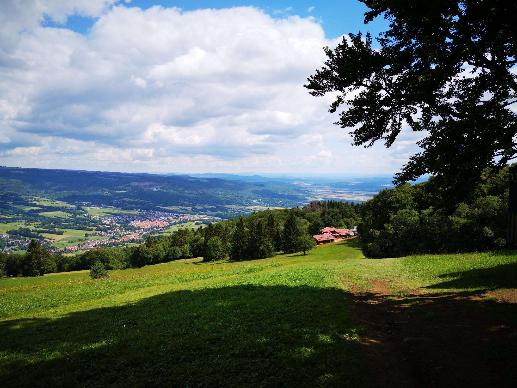
Jogging in Tecpán Guatemala offers routes through the region's western highlands, characterized by mountainous terrain and pine forests. Running routes often feature varied elevations, from gentle slopes to more challenging ascents. The landscape includes agricultural areas and natural woodlands, providing diverse running environments.
Best jogging routes in Tecpán Guatemala
- The most popular jogging route is Running loop from Panajachel, a 3.1 miles (4.9 km) trail that takes 31 minutes to complete. This easy route features minimal elevation gain.
- Another…
Last updated: June 26, 2026
5.0
(1)
41
runners
8.52km
00:54
90m
90m
Moderate run. Good fitness required. Mostly paved surfaces. Suitable for all skill levels.
5.0
(1)
37
runners
10.4km
01:08
160m
160m
Moderate run. Good fitness required. Mostly paved surfaces. Suitable for all skill levels.

Sign up for free
4.0
(1)
7
runners
4.78km
00:30
40m
40m
Easy run. Great for any fitness level. Mostly paved surfaces. Suitable for all skill levels.
10
runners
22.0km
02:44
790m
790m
Hard run. Very good fitness required. Mostly paved surfaces. Suitable for all skill levels.
2
runners
13.0km
01:51
620m
620m
Hard run. Very good fitness required. Mostly paved surfaces. Suitable for all skill levels.
Our route recommendations are based on thousands of hikes, rides, and runs completed by other people on komoot.
Start today with a free account
Your next adventure awaits.
Login or Signup
Popular around Tecpán Guatemala
Frequently Asked Questions
How many running routes are available in Tecpán Guatemala?
Komoot currently features 5 diverse running routes in Tecpán Guatemala. These trails offer a range of distances and difficulty levels, from easy loops to more challenging long-distance runs.
Are there any easy jogging routes suitable for beginners in Tecpán Guatemala?
Yes, for beginners or those looking for a less strenuous run, the Running loop from Panajachel is an excellent choice. This easy 4.9 km (3.1 miles) route has minimal elevation gain, making it ideal for a relaxed jog.
What kind of terrain can I expect on running trails in Tecpán Guatemala?
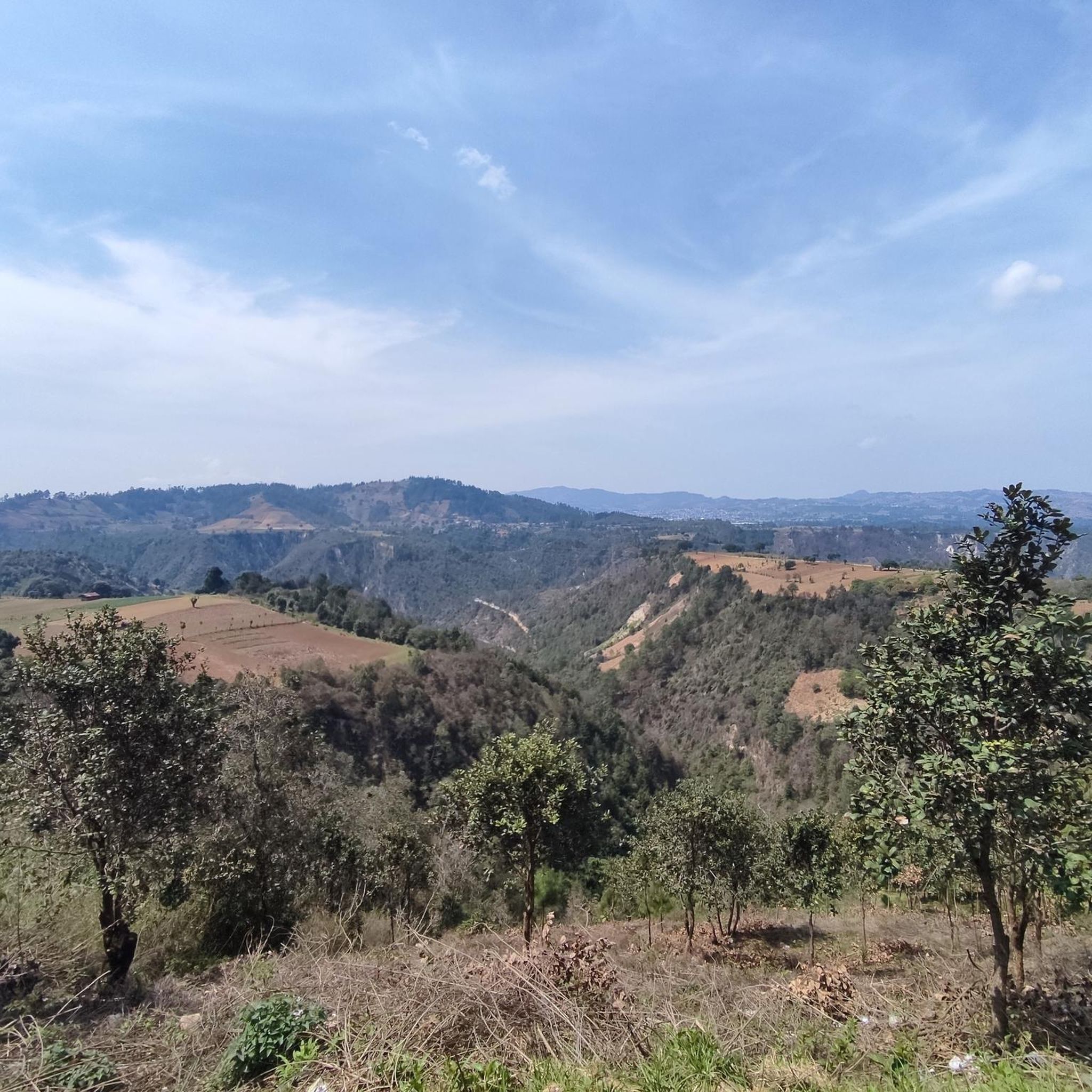
Running in Tecpán Guatemala primarily involves routes through the region's western highlands. You'll encounter mountainous terrain, pine forests, agricultural areas, and natural woodlands. Trails often feature varied elevations, from gentle slopes to significant ascents, providing diverse running environments.
Are there any longer or more challenging running routes for experienced runners?
Absolutely. For experienced runners seeking a challenge, the Laguna Chiquixchoy o Seca loop from Tecpán is a difficult 22.0 km (13.6 miles) trail with significant elevation gain. Another demanding option is the Running loop from Tecpán, which covers 13.0 km (8.1 miles) with substantial climbs.
Are there any circular running trails in Tecpán Guatemala?
Yes, all the running routes featured in this guide are circular. This includes options like the Mirador loop from Panajachel and the Mirador – Mirador Ventana del Tiempo loop from Santa Catarina Palopó, allowing you to start and finish at the same point.
What do other runners say about the trails in Tecpán Guatemala?
The running trails in Tecpán Guatemala are popular among the komoot community, with over 80 runners having explored the varied terrain. Users often praise the diverse landscapes, from highland forests to agricultural areas, and the range of difficulty levels available.
What is the typical elevation gain on running routes in this region?
Elevation gain varies significantly across routes. Easy trails like the Running loop from Panajachel have minimal gain (around 40 meters). Moderate routes, such as the Mirador – Mirador Ventana del Tiempo loop from Santa Catarina Palopó, feature around 150 meters of ascent. Difficult trails can involve substantial climbs, with some exceeding 700 meters of elevation gain.
Are there any running routes that offer scenic viewpoints?
While specific viewpoints are not detailed for every route, the mountainous terrain and highland forests of Tecpán Guatemala inherently offer many opportunities for scenic vistas. Routes like the Mirador – Mirador Ventana del Tiempo loop from Santa Catarina Palopó suggest panoramic views with 'Mirador' (viewpoint) in its name.
What is the average distance of running trails in Tecpán Guatemala?
The running trails in Tecpán Guatemala vary in length. The shortest route is approximately 4.9 km (3.1 miles), while the longest extends to about 22.0 km (13.6 miles). This range provides options for both quick jogs and longer endurance runs.
What should I consider when planning a run in Tecpán Guatemala?
Given the varied elevations and mountainous terrain, it's advisable to check the route's difficulty and elevation profile before heading out. The region's climate can also influence conditions, so be prepared for potential changes in weather, especially at higher altitudes.
Most popular routes in Tecpán Guatemala

Get inspired with the komoot mobile app


