The best MTB trails in Ixhuatlancillo
4.9
(30)
25
riders
6
rides
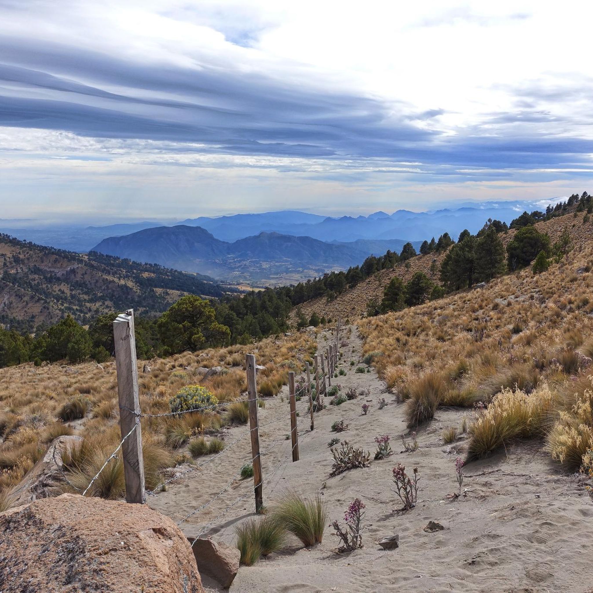
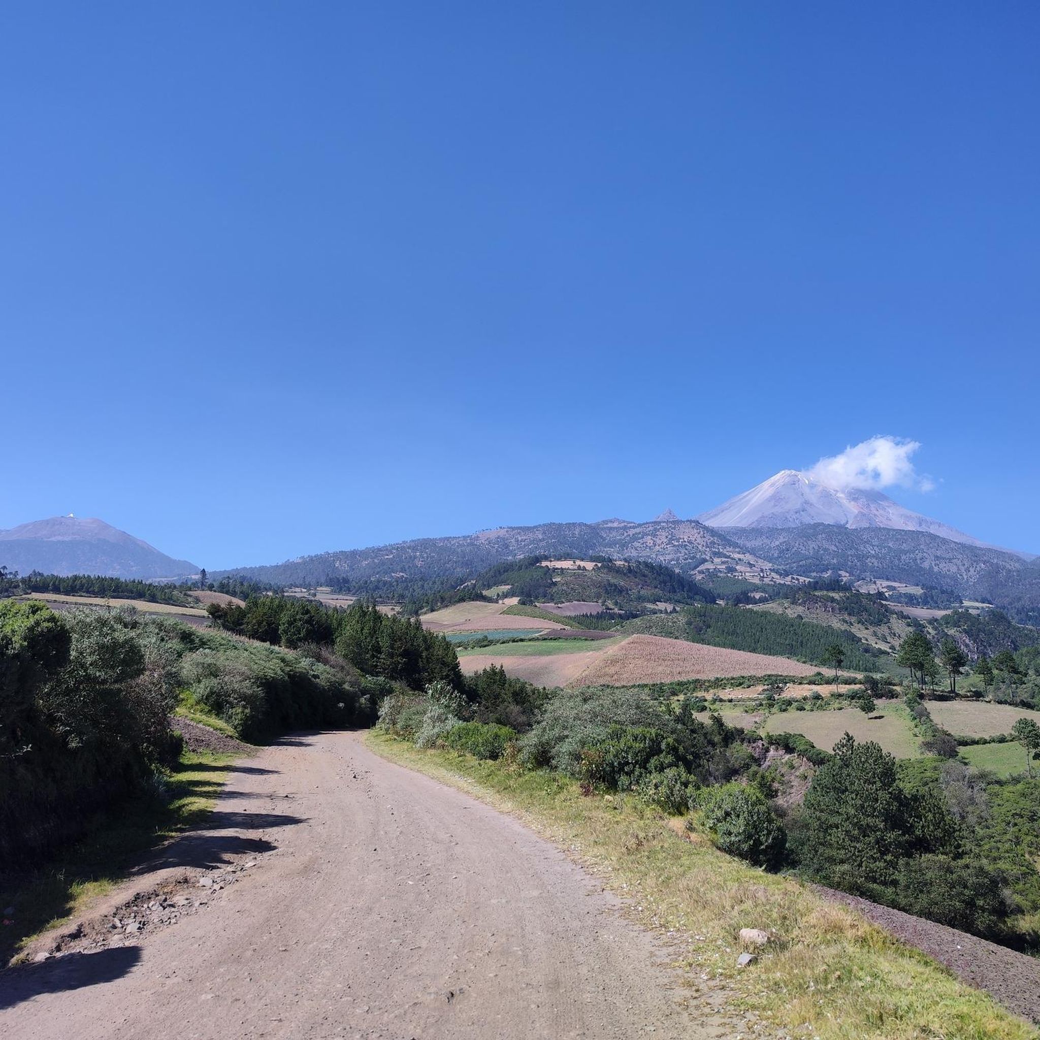
Mountain biking in Ixhuatlancillo offers routes through varied terrain in the Veracruz region. The area features significant elevation changes, with trails often providing views of prominent peaks like Pico de Orizaba. Riders can expect to navigate paths that traverse hills and potentially dry ravines, characteristic of the local landscape. The region's topography provides a range of challenges for mountain bikers.
Best mountain bike trails in Ixhuatlancillo
- The most popular mountain bike trail is Mirador la cuesta loop from Orizaba,…
Last updated: July 8, 2026
4.7
(12)
9
riders
33.2km
02:13
530m
530m
Moderate mountain bike ride. Good fitness required. Suitable for all skill levels.
4.9
(11)
6
riders
43.7km
02:21
260m
260m
Moderate mountain bike ride. Good fitness required. Suitable for all skill levels.

Sign up for free
5.0
(1)
3
riders
54.6km
03:18
580m
580m
Moderate mountain bike ride. Good fitness required. Suitable for all skill levels.
5.0
(1)
2
riders
52.6km
03:23
780m
770m
Moderate mountain bike ride. Good fitness required. Suitable for all skill levels.
4.7
(3)
3
riders
30.9km
01:51
350m
350m
Moderate mountain bike ride. Good fitness required. Suitable for all skill levels.
5.0
(2)
2
riders
19.4km
01:09
210m
210m
Easy mountain bike ride. Great for any fitness level. Suitable for all skill levels.
Our route recommendations are based on thousands of hikes, rides, and runs completed by other people on komoot.
Start today with a free account
Your next adventure awaits.
Login or Signup
Popular around Ixhuatlancillo
Tips from the Community

500 steps for a descent into a tropical valley... Sporty and beautiful scenery
0
0
Frequently Asked Questions
How many mountain bike trails are there in Ixhuatlancillo?
Ixhuatlancillo offers 6 mountain bike trails, catering to various skill levels. You'll find a mix of easy and moderate routes to explore the region's diverse terrain.
Are there easy mountain bike trails in Ixhuatlancillo suitable for beginners?
Yes, there is one easy mountain bike trail in Ixhuatlancillo. The View of Pico de Orizaba loop from Potrerillo 2 is a great option for beginners, covering 19.4 km with manageable elevation changes.
What kind of terrain can I expect on mountain bike trails in Ixhuatlancillo?
The trails in Ixhuatlancillo feature varied terrain, including significant elevation changes, hills, and potentially dry ravines. Many routes offer views of prominent peaks like Pico de Orizaba, characteristic of the Veracruz region's landscape.
Are there any mountain bike trails with viewpoints in Ixhuatlancillo?
Yes, many trails offer excellent viewpoints. For example, the Mirador la cuesta loop from Orizaba provides views from a prominent cuesta, and the 500 Steps Viewpoint – View of Pico de Orizaba loop from Orizaba offers stunning vistas of Pico de Orizaba.
What is the typical length and duration of mountain bike trails in Ixhuatlancillo?
Mountain bike trails in Ixhuatlancillo vary in length, generally ranging from about 19 km to 55 km. Most moderate routes can be completed in 2 to 4 hours, depending on your pace and the specific trail's elevation profile.
Are there any loop mountain bike trails in Ixhuatlancillo?
All 6 mountain bike trails in Ixhuatlancillo are loop routes, offering convenient starting and ending points. This includes popular options like the Scenic Road at Sunset – Barranca Seca loop from Orizaba and View of Pico de Orizaba loop from Orizaba.
What do other mountain bikers enjoy most about mountain biking in Ixhuatlancillo?
The komoot community highly rates mountain biking in Ixhuatlancillo, with an average score of 4.8 stars from over 30 reviews. Riders often praise the significant elevation changes, the rewarding viewpoints, and the diverse routes that offer views of Pico de Orizaba.
Are there any advanced mountain bike routes in Ixhuatlancillo?
Currently, the trails listed for Ixhuatlancillo are categorized as easy or moderate. While there are no routes explicitly rated as 'difficult,' the moderate trails feature significant elevation changes and varied terrain that can still provide a challenging experience for experienced riders.
What is the best time of year to go mountain biking in Ixhuatlancillo?
Given the region's characteristics, the dry season typically offers the most favorable conditions for mountain biking in Ixhuatlancillo, as trails through dry ravines and varied terrain are less likely to be muddy or slippery. Always check local weather forecasts before heading out.
Are there any trails that pass by the '500 Steps of Orizaba' landmark?
Yes, the The 500 Steps of Orizaba loop from Orizaba is a moderate 52.6 km mountain bike trail that specifically includes this notable landmark.
What should I wear for mountain biking in Ixhuatlancillo?
Given the significant elevation changes and varied terrain, it's advisable to wear appropriate mountain biking gear, including a helmet, gloves, and comfortable, moisture-wicking clothing. Layers are recommended to adapt to temperature changes, especially when gaining or losing elevation.
Most popular routes in Ixhuatlancillo

Get inspired with the komoot mobile app


Explore more
Browse the best MTB trails in other regions.
