The best walks and hikes in Acajete
4.6
(20)
104
hikers
5
hikes
Hiking in Acajete offers routes through diverse volcanic landscapes and mountainous terrain in Veracruz. The region features prominent summits like Cofre de Perote and hills such as Cerro Macuiltépetl, providing varied elevation changes. Trails often traverse forested areas and lead to unique geological formations, including volcanic craters. The area provides opportunities for both challenging ascents and more accessible paths.
Best hiking trails in Acajete
- The most popular hiking route is Cofre de Perote Summit – Wooden Treehouse Lookout loop from…
Last updated: June 25, 2026
5.0
(10)
57
hikers
14.1km
04:55
800m
810m
Hard hike. Good fitness required. Sure-footedness, sturdy shoes and alpine experience required.
4.4
(7)
18
hikers
6.08km
01:42
120m
120m
Easy hike. Great for any fitness level. Easily-accessible paths. Suitable for all skill levels.

Sign up for free
4.0
(2)
9
hikers
5.17km
01:41
240m
240m
Easy hike. Great for any fitness level. Easily-accessible paths. Suitable for all skill levels.
5.0
(1)
9
hikers
Hard hike. Good fitness required. Sure-footedness, sturdy shoes and alpine experience required.
5
hikers
10.5km
06:07
1,050m
1,050m
Hard hike. Very good fitness required. Sure-footedness, sturdy shoes and alpine experience required.
Our route recommendations are based on thousands of hikes, rides, and runs completed by other people on komoot.
Start today with a free account
Your next adventure awaits.
Login or Signup
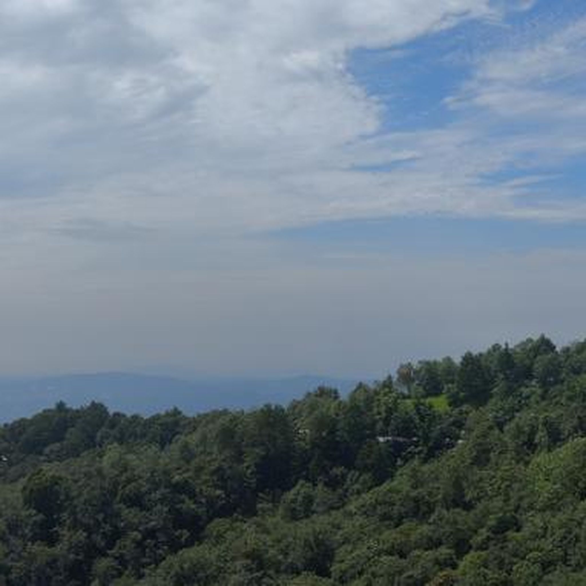



Tips from the Community

a little damaged, but with a nice view
0
0

This is a narrow made made stairway on an airy rocky ridge line on the way up to Cofre de Perote. You can walk up the road but this is a nicer alternative. The 'stairs' are bordered by flimsy looking posts and chains. A good test for your vertigo!
3
0
Cofre de Perote, also known by its Nahuatl names Naupa-Tecutépetl (from Nāuhpa-Tēuctēpetl) and Nauhcampatépetl, both meaning something like "Place of Four Mountain" or "Mountain of the Lord of Four Places", is an inactive volcano located in the Mexican state of Veracruz, at the point where the Trans-Mexican Volcanic Belt, home to all of Mexico's highest peaks, joins the Sierra Madre Oriental. With an elevation of 4,282 metres (14,049 ft) above sea level, Cofre de Perote is Mexico's eighth highest mountain summit. Cofre de Perote is a shield volcano, shaped very differently from the stratovolcanic Pico de Orizaba, which lies about 50 km (31 mi) to the southeast. A cofre is a coffer, and the name alludes to a volcanic outcropping on the shield which constitutes the peak of the mountain. To the north is the town of Perote, Veracruz, after which the mountain is named. The area surrounding the volcano was protected by the Mexican government as a national park, known as Cofre de Perote National Park (Spanish: Parque Nacional Cofre de Perote), in 1937.
5
0
Frequently Asked Questions
How many hiking trails are available in Acajete?
Acajete offers a selection of 5 hiking routes, catering to various skill levels. These trails explore the region's diverse volcanic landscapes and mountainous terrain.
Are there easy hiking options suitable for beginners or families in Acajete?
Yes, Acajete features easy hiking options. For instance, the Cerro Macuiltépetl loop from Xalapa is an easy 6.1 km path offering accessible views around a local hill. Another easy route is the Cráter de Volcancillo loop from Toxtlacoaya, which is 5.2 km and takes about 1 hour 41 minutes through a volcanic crater landscape.
What are the more challenging hikes in Acajete?
For experienced hikers seeking a challenge, Acajete offers several difficult routes. The Cofre de Perote Summit – Wooden Treehouse Lookout loop from El Conejo is a demanding 14.1 km trail with significant elevation gain. Other challenging options include the Cofre de Perote Summit loop from Parque Nacional Cofre de Perote o Nauhcampatépetl (5.4 km) and the Cofre de Perote Summit loop from Tembladeras (10.5 km).
Are there any circular hiking routes in Acajete?
Yes, many of the trails in Acajete are circular. Examples include the Cerro Macuiltépetl loop from Xalapa, the Cráter de Volcancillo loop from Toxtlacoaya, and the various Cofre de Perote Summit loops, such as the one from El Conejo.
What is the typical duration of hikes in Acajete?
Hiking durations in Acajete vary significantly based on the trail's difficulty and length. Easy routes like the Cráter de Volcancillo loop can be completed in under 2 hours, while more difficult ascents like the Cofre de Perote Summit loop from El Conejo can take nearly 5 hours.
What kind of terrain can I expect on Acajete's hiking trails?
Hikers in Acajete will encounter diverse terrain, primarily characterized by volcanic landscapes and mountainous areas. Trails often traverse forested sections, lead to prominent summits like Cofre de Perote, and explore unique geological formations, including volcanic craters.
What do other hikers say about the trails in Acajete?
The hiking trails in Acajete are highly regarded by the komoot community, holding an average rating of 4.6 stars from nearly 20 reviews. Hikers often praise the region's unique volcanic scenery and the variety of routes available, from accessible paths to challenging summit ascents.
Is Acajete a good destination for dog-friendly hiking?
While specific regulations for dogs on trails can vary, many natural areas in Mexico are generally welcoming to well-behaved dogs on a leash. It's always recommended to check local signage or park rules for specific trails, especially within protected areas like the Cofre de Perote National Park, to ensure a pleasant experience for both you and your pet.
What should I wear for hiking in Acajete's mountainous and volcanic terrain?
Given the mountainous and volcanic terrain, it's advisable to wear sturdy hiking boots with good ankle support. Layered clothing is recommended to adapt to changing temperatures, especially when gaining elevation. Sun protection, including a hat and sunscreen, is also crucial, along with rain gear, as weather in mountain regions can be unpredictable.
Are there any specific places to explore or landmarks along the hiking routes in Acajete?
The region's main attractions are its natural features. Hikers can explore prominent summits like Cofre de Perote, enjoy views from a wooden treehouse lookout, or discover unique geological formations such as the Cráter de Volcancillo. The trails themselves are the primary points of interest, showcasing the area's volcanic origins and forested hills.
What is the best time of year to hike in Acajete?
The best time to hike in Acajete, given its mountainous and volcanic nature, is generally during the dry season, which typically runs from November to May in Veracruz. During these months, you can expect more stable weather conditions, clearer skies, and less chance of rain, making for more enjoyable and safer hiking experiences.
Most popular routes in Acajete

Get inspired with the komoot mobile app


Explore more
Browse the best Hikes in other regions.
