The best cycling routes around Independence
44
riders
2
rides
Touring cycling around Independence, Utah, offers routes primarily characterized by significant elevation changes and mountainous terrain. The region features high-altitude landscapes with challenging climbs and descents. Routes often traverse areas with open views and natural features typical of the Wasatch Back.
Best touring cycling routes around Independence
- The most popular touring cycling route is Horse Flat Trail – Dimple Dell East Trail loop from Heber Valley Railroad Depot, a 87.9 miles (141.5 km) trail that takes about 10 hours…
Last updated: July 6, 2026
11
riders
62.8km
05:30
1,440m
1,440m
Hard bike ride. Very good fitness required. Mostly paved surfaces. Suitable for all skill levels.
8
riders
141km
10:33
3,270m
3,270m
Hard bike ride. Very good fitness required. Mostly paved surfaces. Suitable for all skill levels.

Sign up for free
3
riders
57.7km
04:16
1,310m
1,310m
Hard bike ride. Very good fitness required. Mostly paved surfaces. Suitable for all skill levels.
20
riders
37.8km
02:43
770m
770m
Hard bike ride. Very good fitness required. Mostly paved surfaces. Suitable for all skill levels.
2
riders
10.7km
00:43
80m
80m
Easy bike ride. Great for any fitness level. Mostly paved surfaces. Suitable for all skill levels.
Our route recommendations are based on thousands of hikes, rides, and runs completed by other people on komoot.
Start today with a free account
Your next adventure awaits.
Login or Signup
Popular around Independence

Tips from the Community

Guardsman Pass is a tough but unforgettable climb—steep grades, tight switchbacks, and big elevation gain. The views from the top, at nearly 9,700 feet, are worth every pedal stroke. Expect light traffic on weekdays and smooth pavement for a fast, fun descent.
0
0

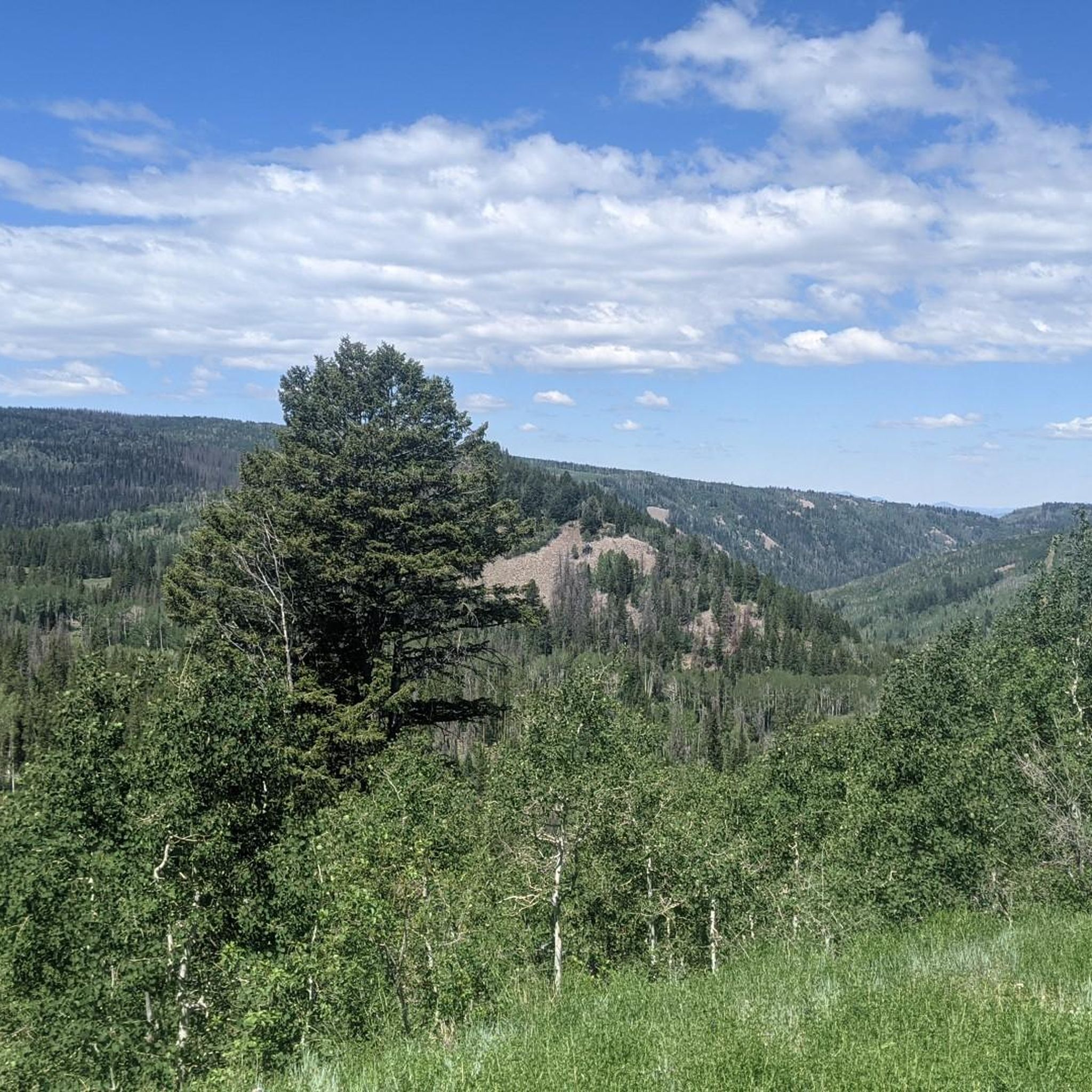
The Dimple Dell East Trail offers a captivating view of the Wasatch Range, adorned with iconic peaks like Lone Peak and Twin Peaks. Surrounded by the natural beauty of Dimple Dell Regional Park, visitors can relish the scenic vistas and appreciate the prominent geological features that define this Utah landscape.
0
0

Heber City is the gateway to several parks, national forests and nature areas in Utah, so it is a great place to start a ride. The city was first settled in 1859, and it still has several historic buildings that you can visit.
1
0

From this point, you can take the trail that, with a short, easy walk, will lead you through this area bathed by an artesian spring that forms terraced cascades and pools. You'll need to hop off the bike to explore it, but there is a parking area next to the trailhead.
1
0
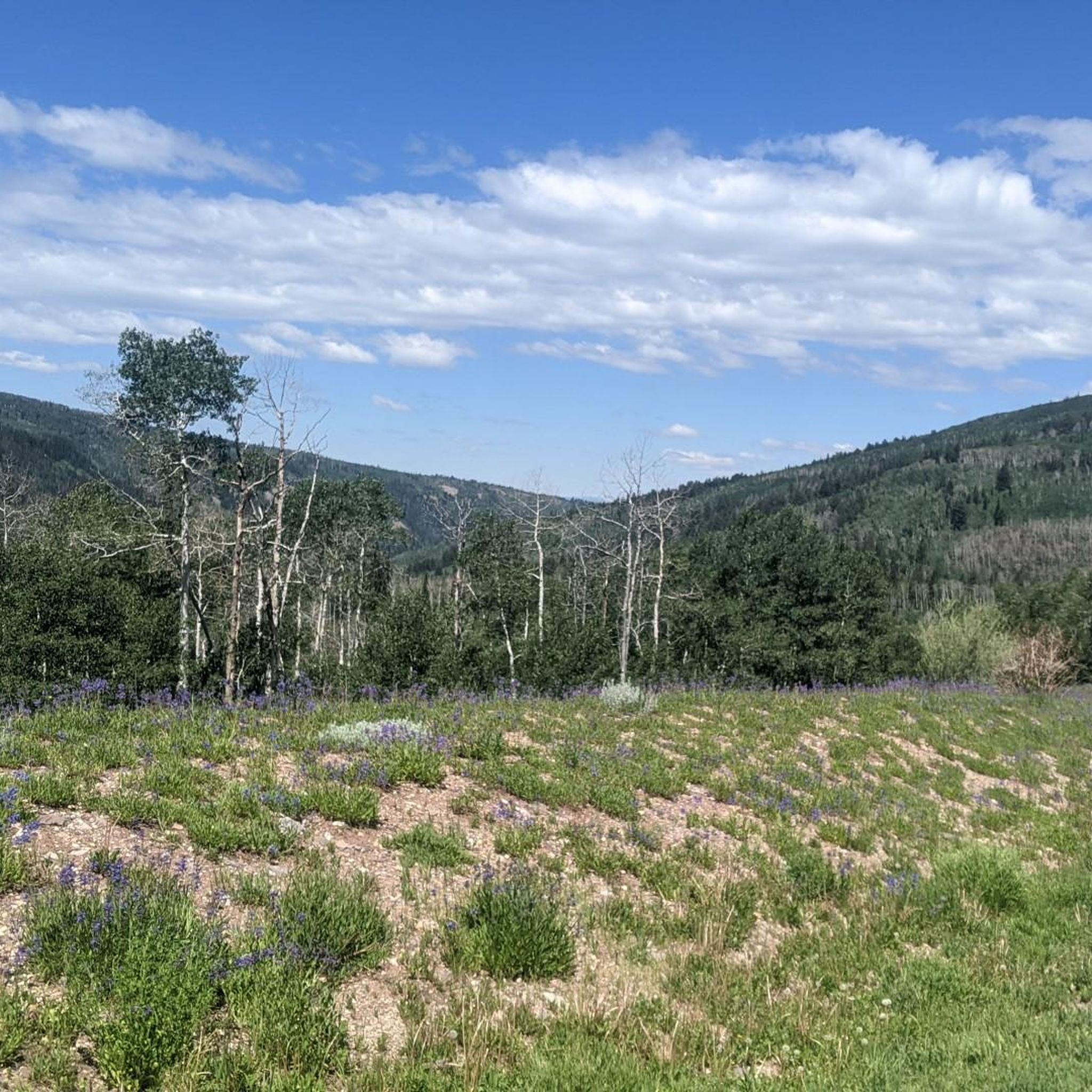
At this viewpoint, on one side of Cascade Springs Drive, you'll enjoy incredible scenic views. The best time to visit it is in the fall, when you can see the different colors of the leaves as they change.
1
0

With over 25 miles of single-track mountain biking, this area has a variety of terrain and stunning views. Also, there's a lift service available for those interested in some downhill fun.
0
0
The Dimple Dell East Trailhead car park offers a captivating view of the Wasatch Range, adorned with iconic peaks like Lone Peak and Twin Peaks. Surrounded by the natural beauty of Dimple Dell Regional Park, visitors can relish the scenic vistas and appreciate the prominent geological features that define this Utah landscape.
0
0

The Potato Hill Trail starts at the trailhead and parking lot on Transverse Mountain Road. This trail offers a flat, dirt path, giving bikers and hikers a short journey to the scenic overlook of the area.
0
0
Frequently Asked Questions
How many touring cycling routes are available around Independence?
There are several touring cycling routes available around Independence. This guide features 5 routes, with varying distances and elevations to suit different preferences.
What is the general difficulty level of touring cycling routes in Independence?
The routes featured in this guide are generally considered more challenging. For example, the Heber City loop from Heber Valley Railroad Depot and the Horse Flat Trail – Dimple Dell East Trail loop from Heber Valley Railroad Depot are both rated as difficult, involving significant elevation gains. However, there is also an easier option, the Homestead Crater Mineral Dome loop from Midway, which is rated easy.
Are there any circular touring cycling routes in Independence?
Yes, many of the touring cycling routes around Independence are designed as loops. Examples include the challenging Heber City loop from Heber Valley Railroad Depot, the extensive Horse Flat Trail – Dimple Dell East Trail loop from Heber Valley Railroad Depot, and the more moderate Cascade Springs – Deer Creek Overlook loop from Soldier Hollow.
What are the longest touring cycling routes available in Independence?
The longest route featured in this guide is the Horse Flat Trail – Dimple Dell East Trail loop from Heber Valley Railroad Depot, spanning over 141 km with more than 3,200 meters of elevation gain. Another significant route is the Heber City loop from Heber Valley Railroad Depot, which is over 62 km long.
Are there family-friendly touring cycling routes in Independence?
While many routes in this guide are rated difficult, the Homestead Crater Mineral Dome loop from Midway is an easy route, making it suitable for families or those looking for a more relaxed ride. It covers just over 10 km with minimal elevation.
What kind of landscapes can I expect to see while touring cycling around Independence?
The region offers diverse landscapes, from scenic riverine areas and extensive trail networks to picturesque farmlands and forested sections. You can expect routes that traverse through natural parks, along rivers, and through open fields, providing a varied and engaging cycling experience.
Are there any specific natural features or attractions along the touring cycling routes?
While specific attractions are not detailed for every route, the broader Independence area is known for its natural beauty. In some areas, you might encounter features like the Little Blue River, George Owens Nature Park, or even a scenic waterfall at Waterfall Park. The region also boasts charming rural towns and expansive farmlands.
What is the best season for touring cycling in Independence?
The best season for touring cycling in Independence generally depends on the specific location. Areas with more moderate terrain and less extreme weather are enjoyable for much of the spring, summer, and fall. For higher elevation routes, summer and early fall are typically ideal to avoid snow and ensure clear paths.
Are there options for less crowded bike paths in Independence?
Independence, particularly in certain regions like Polk County, Oregon, is known for its tranquil, uncrowded country roads. This makes it an excellent destination for cyclists seeking a peaceful and immersive experience away from heavy traffic.
What facilities are available for cyclists in the Independence area?
Some parts of the Independence region are very cyclist-friendly, offering amenities such as bike-friendly accommodations, dedicated campgrounds, in-room bike storage at hotels, outdoor wash stations, and 24-hour bike workrooms with tools. It's advisable to check specific route areas for available facilities.
Can I access touring cycling routes in Independence using public transport?
Access to touring cycling routes via public transport can vary significantly depending on the specific location within Independence. While some urban trailheads might be accessible, many scenic routes in more rural settings may require personal vehicle transport to reach the starting point. It's best to research local public transport options for your chosen route.
Where can I find more information about outdoor activities in Independence?
For more information on outdoor activities, including parks and nature areas in Independence, you can visit the official tourism websites. For example, visitindependence.com provides details on various outdoor attractions, and independencemo.gov offers information on specific parks like George Owens Nature Park.
Most popular routes around Independence

Get inspired with the komoot mobile app


Explore more
Browse the best Cycling routes in other regions.
