The best gravel rides around Vertolaye
10
riders
3
rides
Gravel biking around Vertolaye offers diverse terrain within the Livradois-Forez Regional Nature Park. The region features a mix of unpaved and paved surfaces, with varied elevation changes ranging from 300 to nearly 1700 meters. This landscape includes high plateaus, deep valleys, and extensive forests of beech, fir, and spruce, providing varied routes for cyclists. The area is characterized by its mountainous topography and quiet roads, making it suitable for mixed-surface riding.
Best gravel bike trails around Vertolaye
- The most popular gravel bike trail is Plateau du Livradois-Forez – Col des Supeyres loop from Col des Supeyres, a 16.5 miles (26.6 km) trail that takes 2 hours 4 minutes to complete. This moderate route explores the high plateaus with varied surfaces.
- Another top favourite among local gravel bikers is Supeyres Pass – Supeyres Pass loop from Col des Supeyres, a moderate 11.9 miles (19.2 km) path. This loop offers views around the Supeyres Pass, traversing open landscapes.
- Local gravel bikers also love the Saint-Pierre-la-Bourlhonne – The Béal Stele loop from Saint-Pierre-la-Bourlhonne, a 11.4 miles (18.4 km) trail leading through challenging terrain towards the Béal Stele, often completed in about 2 hours 6 minutes.
- Gravel biking around Vertolaye is defined by mountainous terrain, high plateaus, and extensive forests, with routes offering a mix of unpaved and paved surfaces. The network provides options for different ability levels, from moderate climbs to more difficult ascents.
- The routes in Vertolaye are highly rated by the komoot community with an average score of 5.0 stars. More than 10 gravel bikers have used komoot to explore Vertolaye's varied terrain.
Last updated: June 29, 2026
3
riders
26.6km
02:04
440m
440m
Moderate gravel ride. Good fitness required. Mostly paved surfaces. Suitable for all skill levels.
3
riders
19.2km
01:41
290m
290m
Moderate gravel ride. Good fitness required. Mostly paved surfaces. Suitable for all skill levels.

Sign up for free
1
riders
Hard gravel ride. Very good fitness required. Mostly paved surfaces. Suitable for all skill levels.
Our route recommendations are based on thousands of hikes, rides, and runs completed by other people on komoot.
Start today with a free account
Your next adventure awaits.
Login or Signup

Tips from the Community

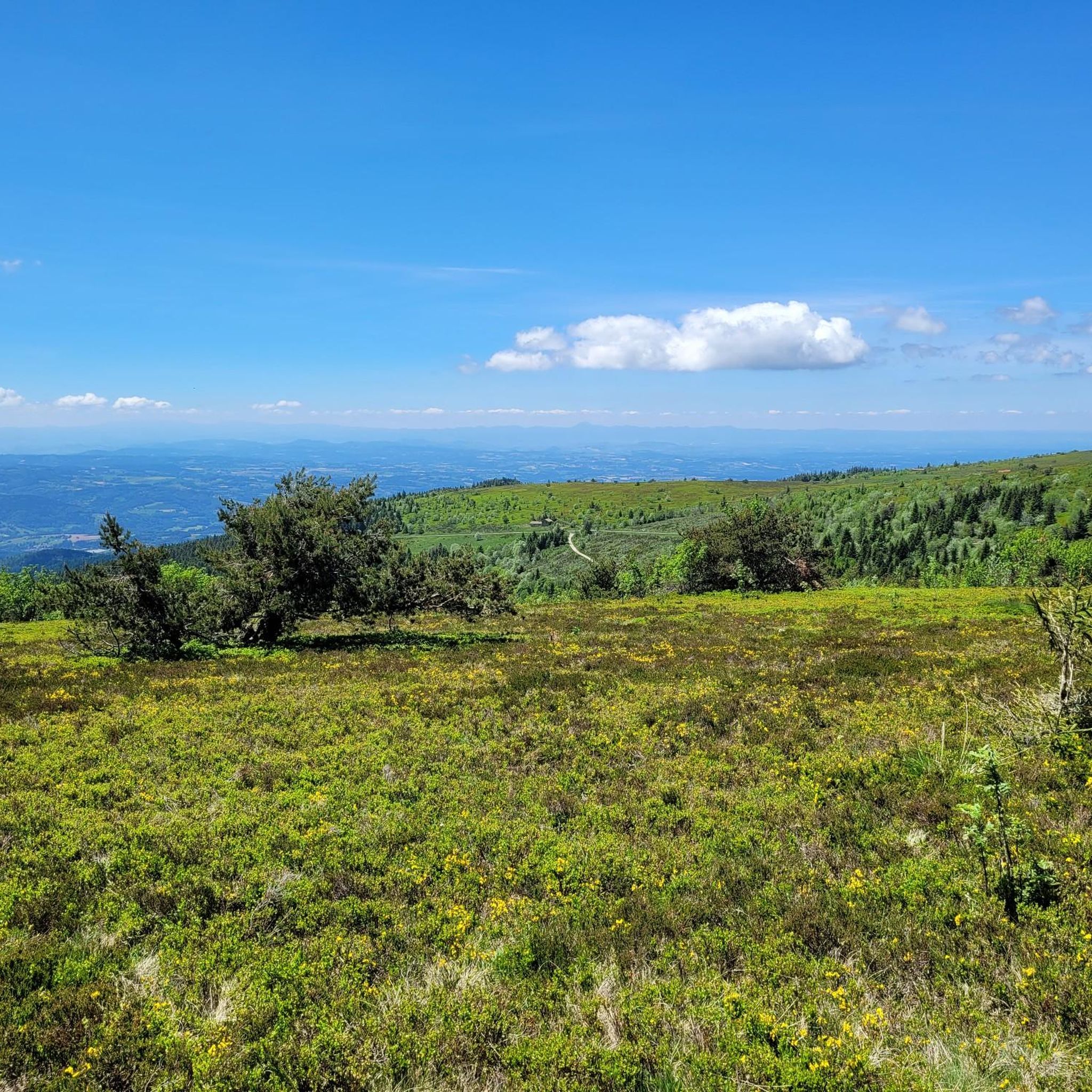
This path lives up to its name, especially in spring when the meadows it crosses are adorned with their most beautiful colors.
0
0

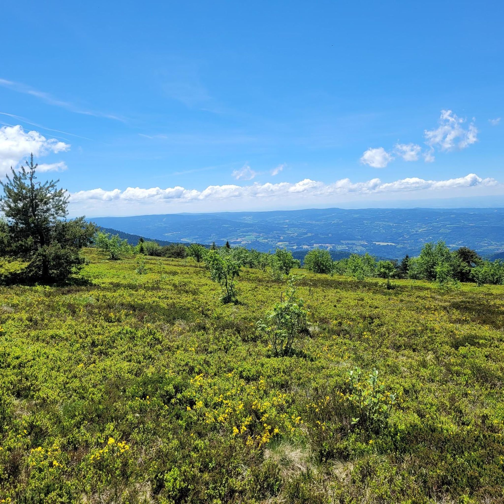
A breathtaking view of the Forez Mountains. A site that's well worth the effort...
0
0

Possibility of filling up with fresh water.
0
0
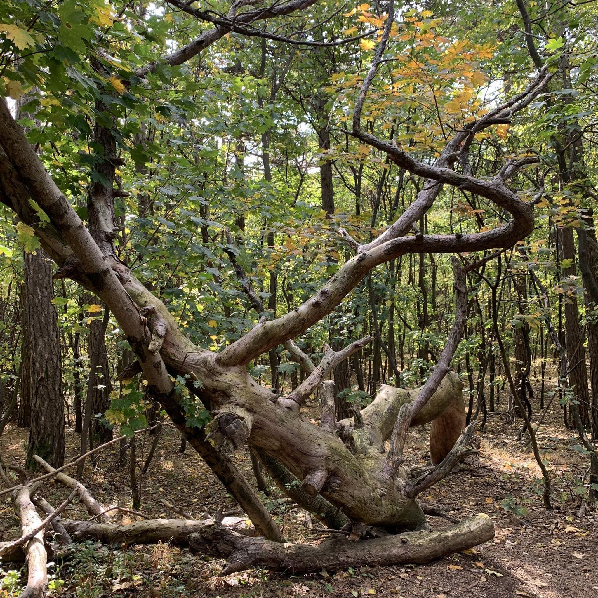
Very technical course, sometimes with beautiful landscapes.
0
0

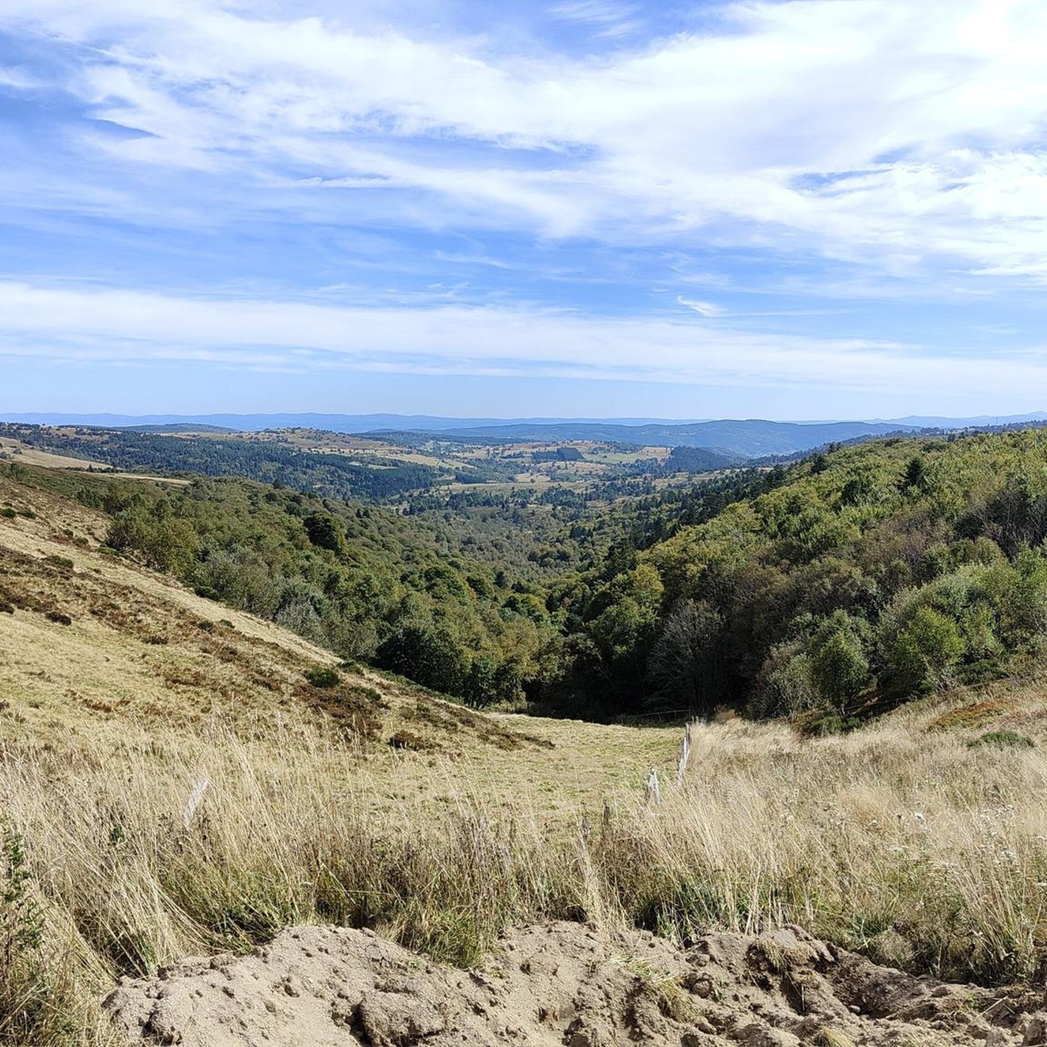
The summit of this superb slope.
0
0

A mountain village nestled at the foot of Pierre-Sur-Hâute. It's a crossroads that provides access to the Béal and Chansert mountain passes. Built on the Forezian mountainside, this village is sure to charm visitors with its typical architecture. But above all, it's the natural splendors of the landscape surrounding this village that make it worth the detour.
1
0

Superb pass and a stone's throw away the Gîte des Gentianes offers you a snack, overnight meal... and a superb welcome.
1
0

Frequently Asked Questions
What kind of terrain can I expect on gravel bike trails around Vertolaye?
Gravel biking around Vertolaye offers a diverse mix of unpaved and paved surfaces. You'll encounter varied elevation changes, from rolling hills to more challenging ascents, within the mountainous topography of the Livradois-Forez Regional Nature Park. The routes often traverse extensive forests of beech, fir, and spruce, as well as high plateaus and deep valleys, providing a true mixed-surface riding experience.
Are there gravel bike routes suitable for beginners or those looking for an easier ride?
Yes, while the region offers challenging terrain, there are moderate options available. For instance, the Plateau du Livradois-Forez – Col des Supeyres loop from Col des Supeyres is a moderate 26.6 km trail that explores high plateaus with varied surfaces. Another moderate choice is the Supeyres Pass – Supeyres Pass loop from Col des Supeyres, covering 19.2 km with open landscapes.
What are some more challenging gravel bike routes near Vertolaye?
For experienced gravel bikers seeking a challenge, Vertolaye has several difficult routes. The Saint-Pierre-la-Bourlhonne – The Béal Stele loop from Saint-Pierre-la-Bourlhonne is an 18.4 km trail with significant elevation gain towards the Béal Stele. Another demanding option is the Col du Béal – Béal Pass loop from Le Brugeron, a 28.3 km route that includes substantial climbing around the famous Col du Béal.
What natural features or landmarks can I see along the gravel bike trails?
The routes often pass through the stunning Livradois-Forez Regional Nature Park, offering views of vast forests and high plateaus. You can also encounter several mountain passes, such as Col des Supeyres and Béal Pass. For expansive views, consider routes that lead towards Pierre–sur–Haute or the Summit of Peyre Mayou.
Are there any circular gravel bike routes available?
Yes, many of the gravel bike routes around Vertolaye are designed as loops, allowing you to start and finish in the same location. Examples include the Plateau du Livradois-Forez – Col des Supeyres loop, the Supeyres Pass – Supeyres Pass loop, and the Church square Cunlhat – Cunlhat loop.
What is the best time of year for gravel biking in Vertolaye?
The Livradois-Forez region, including Vertolaye, is generally excellent for gravel biking from spring through autumn. The varied elevation means conditions can change, especially on higher plateaus like the Hautes-Chaumes du Forez. Spring brings lush greenery, while autumn offers beautiful foliage. Summer is also popular, with quiet roads and pleasant temperatures, though higher elevations can be cooler.
What do other gravel bikers say about the trails in Vertolaye?
The gravel biking routes around Vertolaye are highly regarded by the komoot community, with an average score of 5.0 stars. Riders frequently praise the diverse terrain, the tranquility of the quiet roads, and the stunning natural beauty of the Livradois-Forez Regional Nature Park.
Are there any specific mountain passes that are popular for gravel biking in this area?
Absolutely. The region is known for its challenging and scenic mountain passes. The Béal Pass (Col du Béal) is a significant attraction for cyclists, offering a notable climbing challenge and expansive views. The Col des Supeyres is another popular pass, often featured in loop routes that traverse the high plateaus.
How many gravel bike trails are there around Vertolaye?
There are over 5 gravel bike trails documented around Vertolaye on komoot, offering a range of experiences from moderate to difficult. This includes routes that explore high plateaus, forests, and challenging mountain passes within the Livradois-Forez Regional Nature Park.
What are the typical distances and elevations for gravel bike routes in Vertolaye?
Gravel bike routes around Vertolaye vary in length and elevation. You can find routes ranging from approximately 18 km to over 28 km. Elevation gains typically range from around 300 meters for moderate rides to over 700 meters for more difficult ascents, reflecting the mountainous nature of the region.
Is there public transport available to access the gravel biking areas?
Vertolaye is part of the Livradois-Forez Regional Nature Park. While specific public transport options directly to trailheads might be limited, Vertolaye itself is a stop on the Livradois-Forez tourist train, which could offer some access points or connections within the wider region. For detailed planning, it's advisable to check local transport schedules.
Most popular attractions around Vertolaye

Get inspired with the komoot mobile app


Explore more
Browse the best Gravel rides in other regions.
