The best gravel rides around Thourie
4.0
(7)
40
riders
2
rides
Gravel biking around Thourie offers diverse terrain within the Ille-et-Vilaine department of Brittany, France. The region features a mix of greenways built on old railway lines, historical architecture, and ponds, providing varied backdrops for cycling. Routes include both challenging climbs and scenic trails, allowing for exploration of the area's natural and historical features. The landscape provides a blend of paved and unpaved surfaces, suitable for different gravel biking preferences.
Best gravel bike trails around Thourie
- The most popular gravel bike…
Last updated: July 12, 2026
4.5
(2)
13
riders
33.2km
02:06
160m
160m
Moderate gravel ride. Good fitness required. Mostly paved surfaces. Suitable for all skill levels.
3.5
(4)
15
riders
50.9km
03:10
340m
340m
Moderate gravel ride. Good fitness required. Mostly paved surfaces. Suitable for all skill levels.

Sign up for free
7
riders
71.5km
04:14
510m
510m
Hard gravel ride. Very good fitness required. Mostly paved surfaces. Suitable for all skill levels.
3
riders
45.1km
02:43
360m
360m
Moderate gravel ride. Good fitness required. Mostly paved surfaces. Suitable for all skill levels.
4.0
(1)
2
riders
37.9km
02:13
230m
230m
Moderate gravel ride. Good fitness required. Mostly paved surfaces. Suitable for all skill levels.
Our route recommendations are based on thousands of hikes, rides, and runs completed by other people on komoot.
Start today with a free account
Your next adventure awaits.
Login or Signup

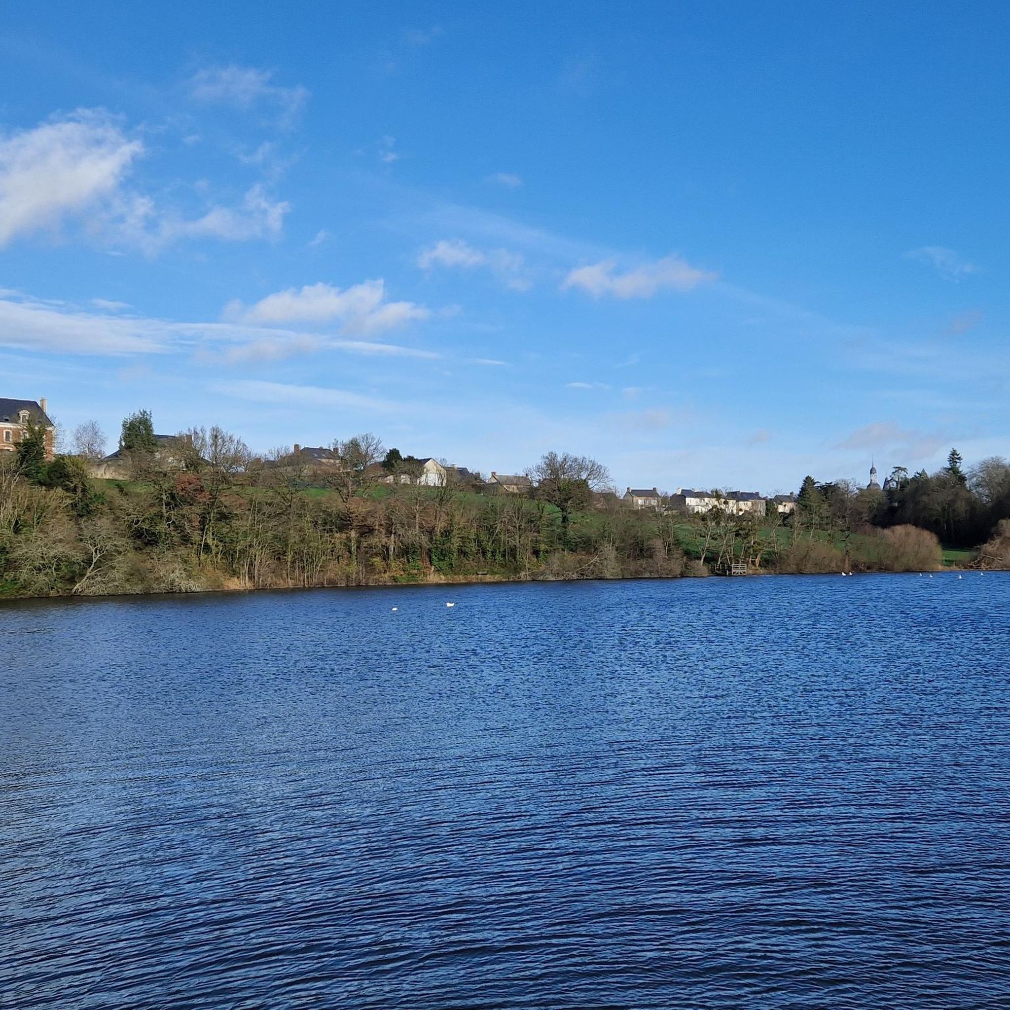
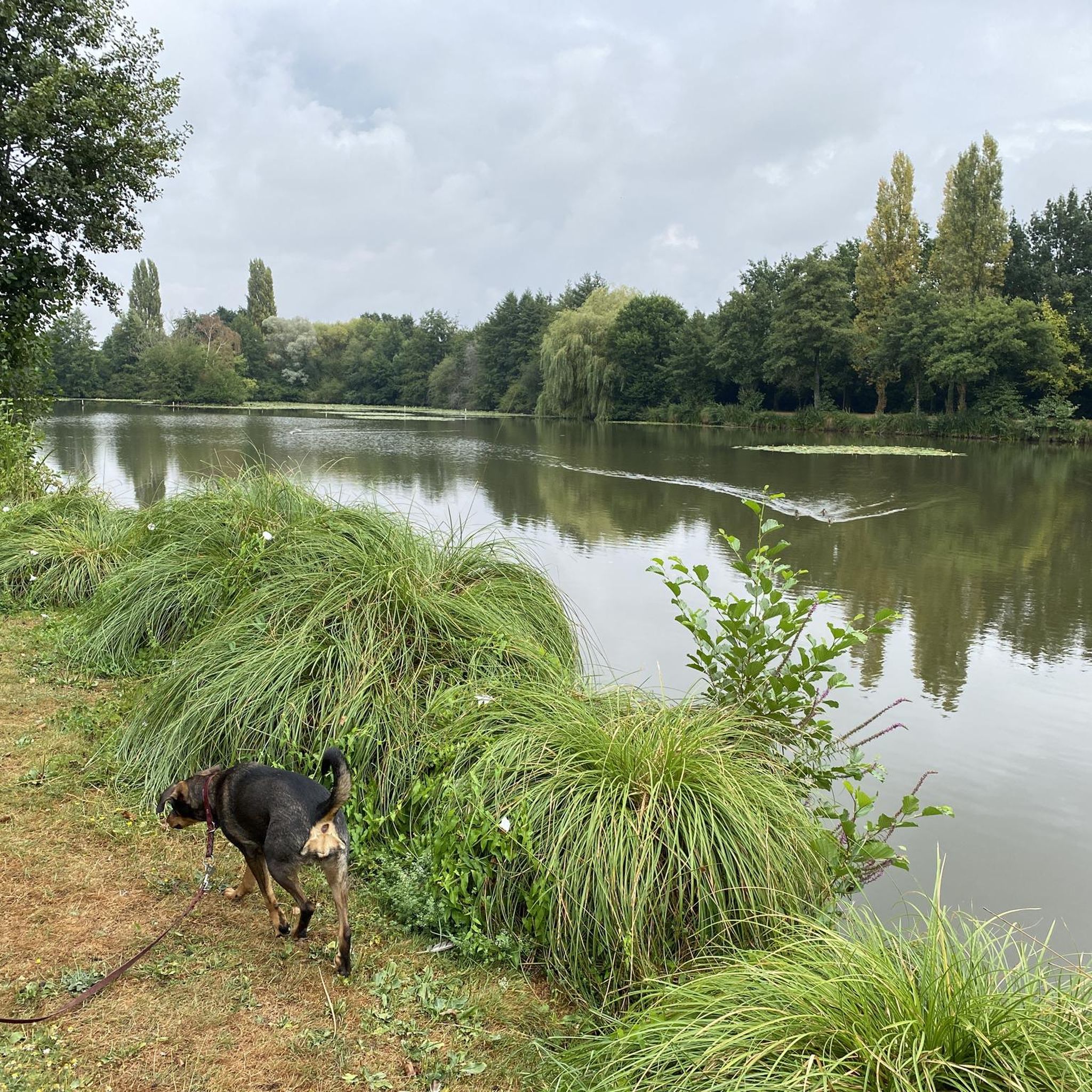
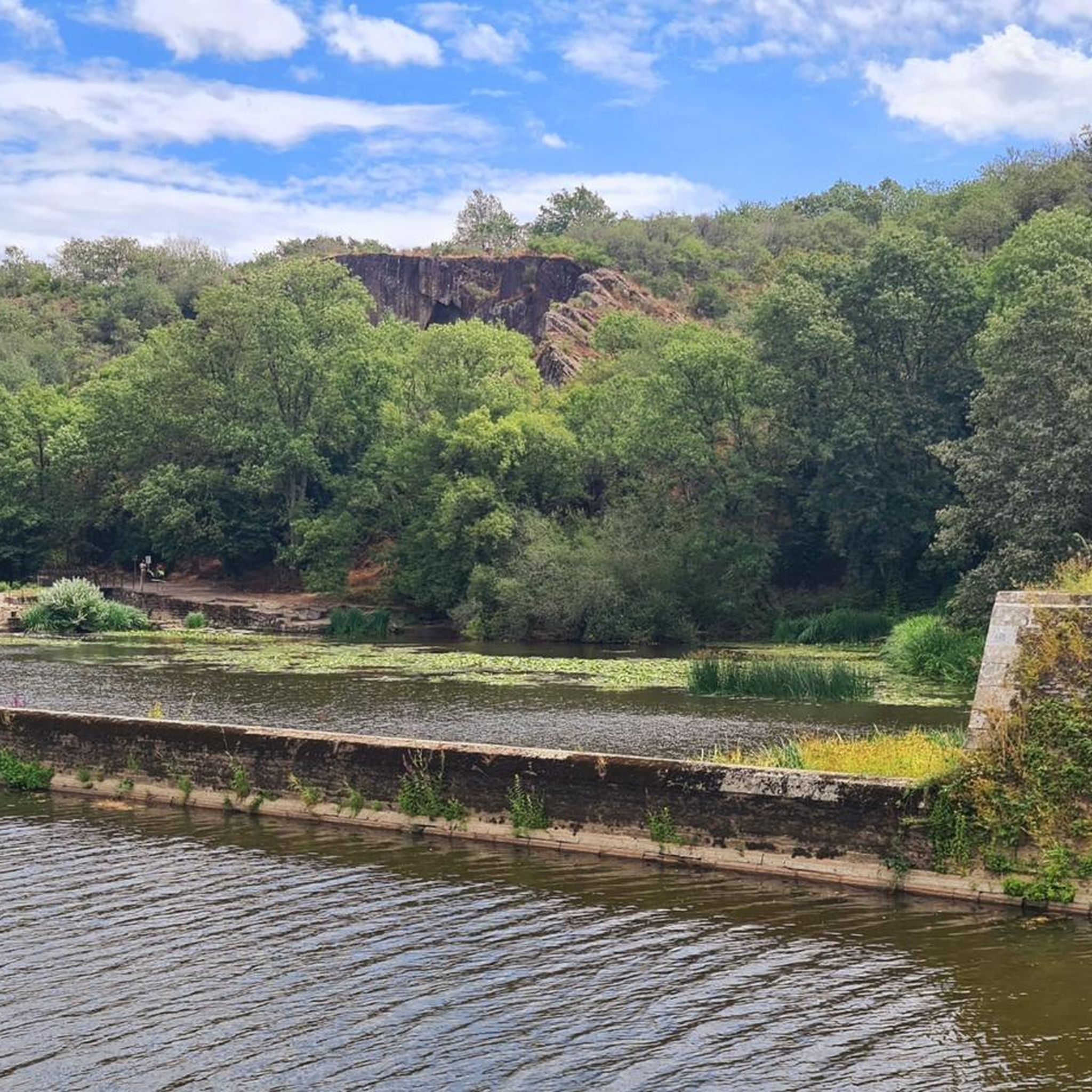

Tips from the Community

Hello, your Point of Interest • 10 km cycle path from Rougé to Châteaubriant (48°16'19.6"N 1°39'50.1"W) is not located correctly on the map. Here are the correct coordinates: 47°46'48.7"N 1°27'11.3"W. Sincerely
0
0

Small sunken path ideal for gravel or mountain biking
0
0

Great tour to do with the family with lots of undergrowth. Pond skirted several times. Very pleasant.
0
0

This greenway was built on the old railway line which linked Châteaubriant to Ploërmel. In its heyday at the start of the last century, trains were essentially freight trains that transported iron mined in the region.
0
0

Historic site of Châteaubriant-Ploërmel. Educational panel explaining its past and current history.
1
0

Saint Peter and Saint Paul are the pillars of the Catholic Church, for the Latins and for the Greeks. Disputing and reconciling from the beginning of the Christian era, they showed the example to follow to establish the Kingdom of God on Earth, according to the requirement and the originality of the Gospel of Jesus Christ.
0
0

The line from Châteaubriant to Ploërmel is an old railway line, this route was closed and classified as "Voie Verte" it linked the station of Châteaubriant in Loire-Atlantique to that of Ploërmel in Morbihan. To this day there is still the building of the chief station as well as the station
1
0

Beautiful green path well shaded for the summer and protects from the rain in the winter.
0
0
Frequently Asked Questions
What kind of terrain can I expect on gravel bike trails around Thourie?
The Thourie region offers a diverse mix of terrain for gravel biking. You'll find routes that combine paved and unpaved surfaces, including dedicated "voie verte" (greenway) gravel paths built on old railway lines. The landscape features historical architecture, ponds, and areas of wild nature, providing varied backdrops for your ride.
Are there any challenging gravel bike routes in Thourie for experienced riders?
Yes, Thourie offers routes with significant elevation gain for those seeking a challenge. For instance, the Tour of Marcillé loop from Janzé is a difficult 72.3 km trail with over 500 meters of ascent, making it a demanding option for experienced gravel bikers.
Are there any moderate gravel biking options that include greenways?
Absolutely. The Bain-Châteaubriant greenway – Voie Verte Gravel Path loop from Ruffigné is a popular moderate route, spanning 51.1 km. It incorporates sections of the scenic "voie verte" (greenway), offering a mix of surfaces through varied landscapes.
What are some notable landmarks or attractions I can see near the gravel bike trails?
Thourie is rich in history and natural beauty. You can explore the impressive La Roche-aux-Fées Dolmen, a megalithic structure from the Neolithic period. Cyclists will also appreciate the Greenway from Châteaubriant to Rougé, which provides a shaded path. For a cultural insight, the Musée des Mines de la Brutz in Teillay showcases the region's industrial heritage.
What do other gravel bikers say about the trails in Thourie?
The gravel biking routes around Thourie are highly regarded by the komoot community, holding an average rating of 4.0 stars from more than 7 reviews. Many riders appreciate the varied terrain, which allows for exploration of both natural and historical features.
Are there any circular gravel bike routes available in the Thourie area?
Yes, many of the gravel routes around Thourie are designed as loops. For example, the Voie Verte Gravel Path – Railway station loop from Teillay is a moderate 32.9 km circular trail that takes you through greenway sections.
How many gravel bike routes are available in the Thourie region?
There are several gravel biking options available around Thourie, with komoot featuring a selection of routes that cater to different preferences and fitness levels.
What is the typical elevation gain on gravel bike trails near Thourie?
Elevation gain varies significantly depending on the route. While some routes like the Voie Verte Gravel Path – Railway station loop from Teillay have around 140 meters of ascent, more challenging options such as the Tour of Marcillé loop from Janzé can feature over 500 meters of climbing.
Are there any shorter gravel loops suitable for a quicker ride?
Yes, if you're looking for a shorter ride, the Tour of Marcillé loop from Retiers is a moderate 27.7 km route with about 200 meters of elevation gain, perfect for a quicker gravel biking excursion.
Can I find gravel routes that start from Janzé?
Yes, Janzé serves as a starting point for several gravel biking adventures. Besides the challenging Tour of Marcillé loop, you can also find the Gravel loop from Janzé, a moderate 35.4 km route with around 268 meters of climbing.
What kind of natural features will I encounter on the Thourie gravel trails?
The trails around Thourie will lead you through diverse natural settings, including greenways, areas of 'wild nature,' and scenic ponds. The varied landscape provides an engaging backdrop for outdoor exploration, away from heavy traffic.
Most popular attractions around Thourie

Get inspired with the komoot mobile app


Explore more
Browse the best Gravel rides in other regions.
