
The best running trails around Ortacesus
22
runners
5
runs
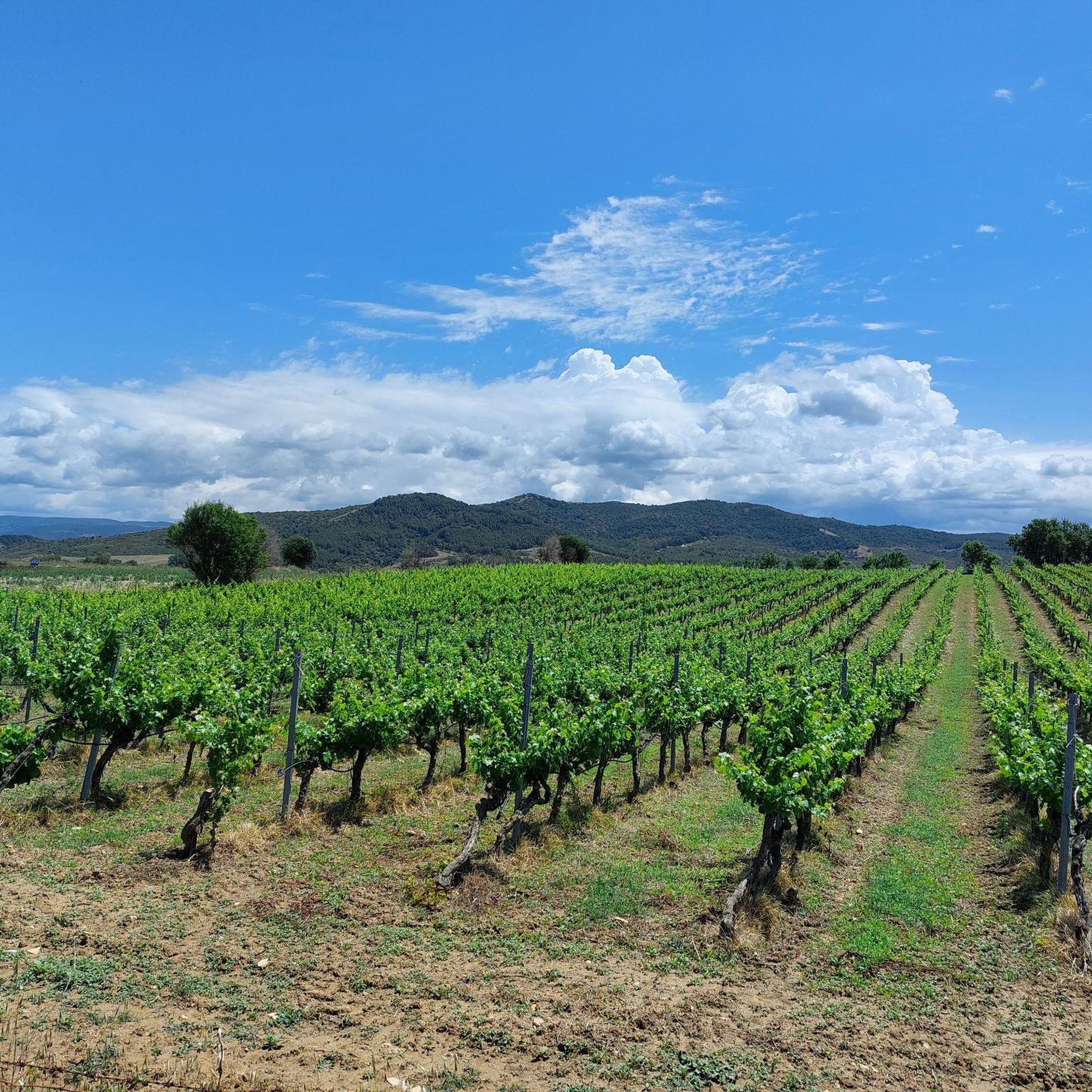
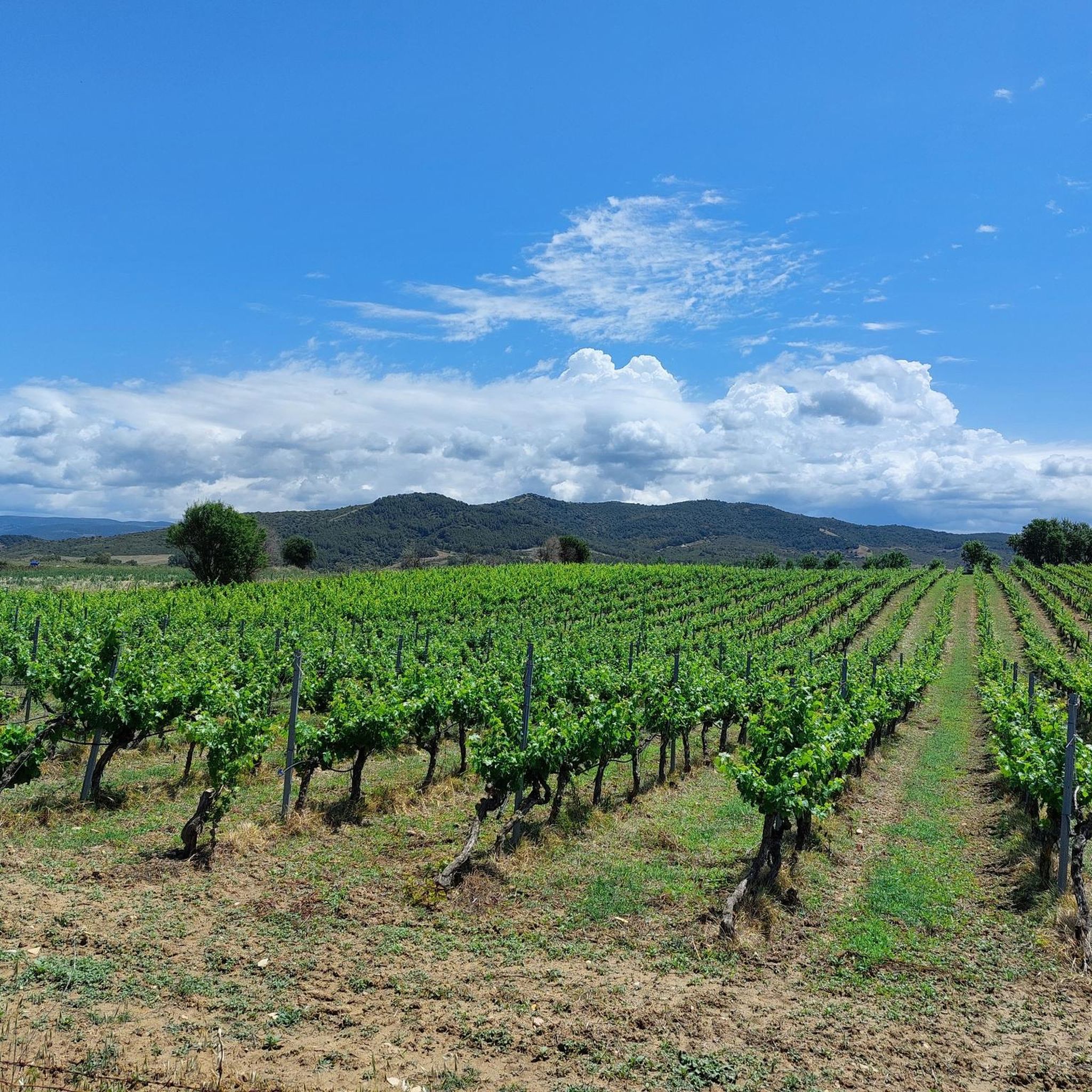
Jogging routes around Ortacesus traverse a predominantly agricultural landscape in the historic Trexenta subregion of Sardinia. The area is characterized by vast expanses of cultivated fields, offering a tranquil rural environment for runners. The topography is generally flat or gently rolling, making routes suitable for various fitness levels. Joggers can explore unpaved or lightly-trafficked rural roads, providing a refreshing escape into nature.
Best jogging routes around Ortacesus
- The most popular jogging route is Running loop from Serrenti, a 6.0 miles (9.6 km) trail that takes 1 hour 4 minutes to complete. This moderate route winds through the scenic agricultural countryside.
- Another top favourite among local runners is Running loop from Agriturismo di Guasila, a moderate 7.0 miles (11.2 km) path. This route offers views of cultivated fields and the gentle rolling hills typical of the region.
- Local runners also love the Running loop from Donorì, a 4.5 miles (7.2 km) trail leading through rural landscapes, often completed in about 51 minutes.
- Jogging around Ortacesus is defined by extensive agricultural fields, areas around natural mineral water springs, and historical sites. The network offers options for different ability levels, primarily featuring moderate routes.
- The guide includes highly-rated routes that showcase the best of the region's landscape. More than 20 runners have used komoot to explore Ortacesus's varied terrain.
Last updated: June 30, 2026
6
runners
9.58km
01:04
130m
130m
Moderate run. Good fitness required. Mostly paved surfaces. Suitable for all skill levels.
5
runners
9.63km
01:01
100m
100m
Moderate run. Good fitness required. Mostly paved surfaces. Suitable for all skill levels.

Sign up for free
4
runners
11.2km
01:11
120m
120m
Moderate run. Good fitness required. Mostly paved surfaces. Suitable for all skill levels.
3
runners
7.30km
00:52
140m
140m
Moderate run. Good fitness required. Mostly paved surfaces. Suitable for all skill levels.
4
runners
6.20km
00:40
70m
80m
Moderate run. Good fitness required. Mostly paved surfaces. Suitable for all skill levels.
Our route recommendations are based on thousands of hikes, rides, and runs completed by other people on komoot.
Start today with a free account
Your next adventure awaits.
Login or Signup
Popular around Ortacesus

Frequently Asked Questions
How many running routes are available around Ortacesus?
Komoot offers 5 curated jogging routes around Ortacesus. These routes are primarily moderate in difficulty, traversing the serene agricultural landscape of the Trexenta subregion.
What kind of terrain can I expect on the jogging trails in Ortacesus?
The jogging routes in Ortacesus primarily feature a tranquil rural environment with vast expanses of cultivated fields. The topography is generally flat or gently rolling, making the routes accessible and enjoyable for various fitness levels. You'll mostly find unpaved or lightly-trafficked rural roads.
Are the running routes in Ortacesus suitable for beginners?
Yes, the running routes around Ortacesus are generally suitable for beginners. All 5 routes listed are classified as moderate, and the region's topography is described as flat or gently rolling, making them approachable for those new to jogging or looking for a less strenuous run.
What is the best time of year to go running in Ortacesus?
Ortacesus benefits from a mild climate for much of the year, making it appealing for outdoor pursuits like jogging. Spring and autumn are typically ideal, offering pleasant temperatures for exploring the agricultural countryside without the intense heat of summer.
What natural attractions can I discover while running near Ortacesus?
While running near Ortacesus, you'll primarily experience the beautiful agricultural countryside with its sprawling fields of cereals, grapes, and vegetables. The area is also home to several mineral water springs, such as Mitza s'Orrù and Mitza su Fenu, which offer pleasant, shaded spots and interesting points of exploration during your run.
Are there any interesting landmarks or historical sites along the running routes?
As you explore the countryside, you may encounter historical and archaeological remnants. The region has a rich history, with evidence of Nuraghe (ancient megalithic edifices) like S'Omu de S'Orcu, and Roman ruins near Sa Mitza Siddi. Additionally, nearby attractions include the Roman Baths and Romanesque Church of San Basilio, and the Church of Senorbì, which can be points of interest during longer runs.
Are there any circular running routes available in Ortacesus?
Yes, all the featured running routes around Ortacesus are circular. For example, you can enjoy the Running loop from Serrenti or the Running loop from Agriturismo di Guasila, both offering a complete circuit through the scenic landscape.
What do other runners enjoy most about jogging in Ortacesus?
Runners who have explored Ortacesus with komoot often praise the tranquil rural environment and the refreshing escape it offers from urban settings. The vast expanses of cultivated fields and the gentle topography are frequently highlighted as enjoyable aspects of the experience.
Are there any longer running trails for more advanced runners?
While all routes are classified as moderate, some offer a longer distance. The Running loop from Agriturismo di Guasila is the longest at 7.0 miles (11.2 km), providing a good option for those looking to extend their run through cultivated fields and rolling hills.
Can I find parking easily near the running routes in Ortacesus?
While specific parking details for each route are not provided, the rural nature of Ortacesus and its surrounding agricultural areas suggests that parking is generally available near the starting points of these routes, especially in less congested areas or near local amenities. It's advisable to check local signage.
Are the running trails in Ortacesus suitable for families?
Given the generally flat or gently rolling topography and the tranquil rural environment, many of the running paths in Ortacesus could be suitable for families looking for a peaceful outdoor activity. The unpaved or lightly-trafficked rural roads offer a safe setting away from heavy traffic.
Are there any dog-friendly running trails in the Ortacesus area?
The rural and agricultural nature of Ortacesus, with its open fields and lightly-trafficked roads, generally makes it a welcoming area for running with dogs. However, always ensure your dog is under control, and be mindful of agricultural land and any local regulations regarding pets.
What is the shortest running route available in Ortacesus?
The shortest running route available is the Running loop from Deposito Munizioni, which is 6.2 km (3.8 miles) long and typically takes about 40 minutes to complete. It offers a moderate experience through the local landscape.
Most popular routes around Ortacesus
Most popular attractions around Ortacesus

Get inspired with the komoot mobile app


Explore more
Browse the best Running Trails & Routes in other regions.
