The best walks and hikes around Circello
4.5
(4)
15
hikers
6
hikes
Hiking around Circello offers diverse natural landscapes within the Province of Benevento, Campania. Situated at approximately 700 meters above sea level, the region features rolling Sannio Hills and proximity to Matese and Taburno Camposauro Regional Parks. The terrain includes varied elevations, mixed woods, and river valleys like the Calore, providing a range of natural features for exploration.
Best hiking trails around Circello
- The most popular hiking route is Loop tour of Cercemaggiore and Monte Saraceno, a 7.0 miles (11.2…
Last updated: June 30, 2026
1
hikers
11.2km
03:20
350m
370m
Moderate hike. Good fitness required. Easily-accessible paths. Suitable for all skill levels.
5.0
(1)
2
hikers
6.92km
01:57
150m
150m
Easy hike. Great for any fitness level. Easily-accessible paths. Suitable for all skill levels.

Sign up for free
1
hikers
4.89km
01:23
110m
110m
Easy hike. Great for any fitness level. Easily-accessible paths. Suitable for all skill levels.
4.0
(1)
2
hikers
6.14km
01:38
60m
60m
Easy hike. Great for any fitness level. Easily-accessible paths. Suitable for all skill levels.
2
hikers
Moderate hike. Good fitness required. Easily-accessible paths. Suitable for all skill levels.
Our route recommendations are based on thousands of hikes, rides, and runs completed by other people on komoot.
Start today with a free account
Your next adventure awaits.
Login or Signup


Tips from the Community

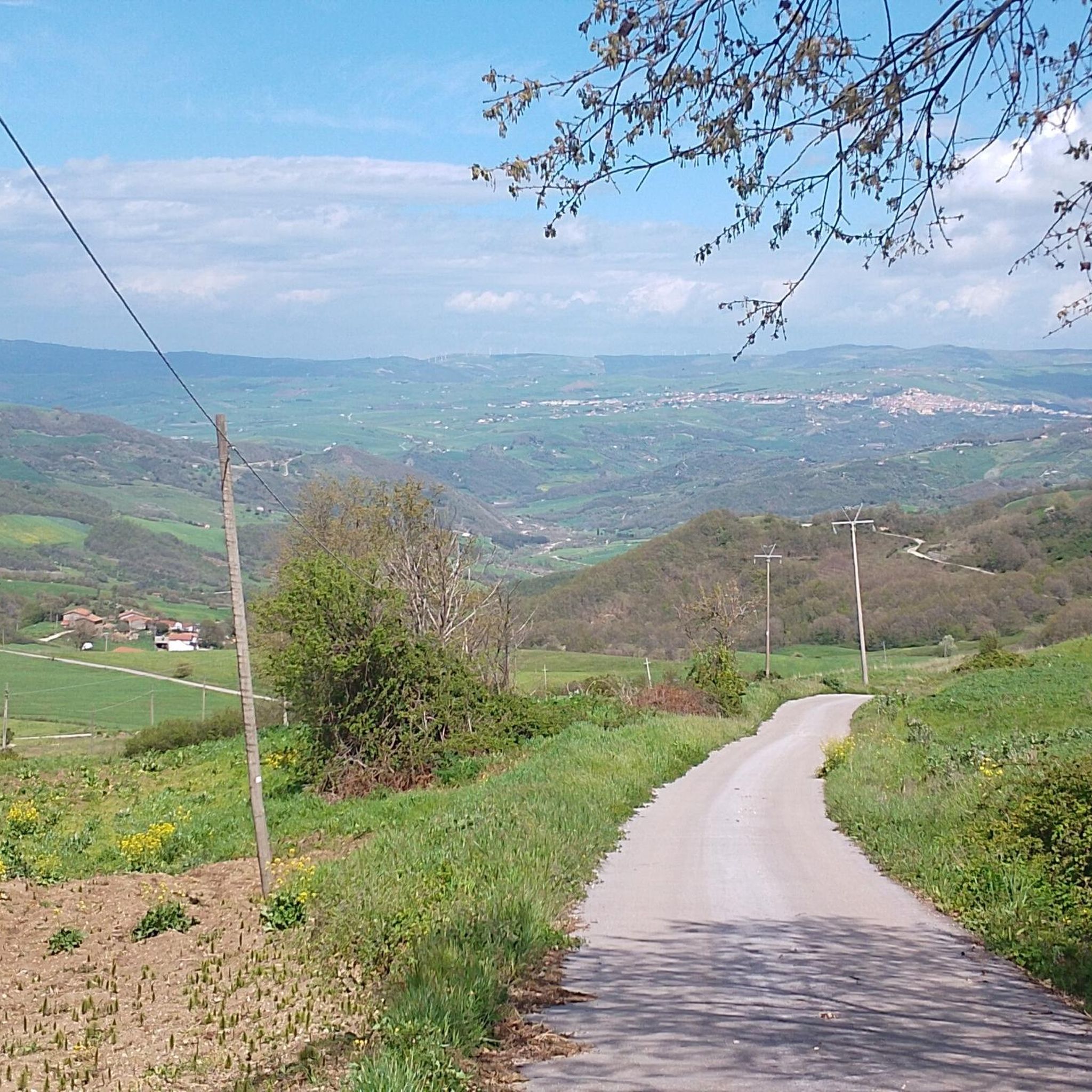
Monte San Marco offers some panoramic viewpoints at almost 1000 m altitude. From these, you can enjoy a wonderful view: to the east, Puglia with the Dauni mountains, to the north in the distance the mountains of Abruzzo (Maiella) today snow-covered and closer, those of Molise. In particular, the Matese range stands out with Mount Mutria, also covered in snow on the west side. Turning further west, we see the Taburno/Camposauro, the Partenio and in the distance the Terminio and the Picentini mountains.
0
0

Pond with picnic area. For members it is also possible to fish. Be careful when you have a snack, two mallards will come to visit you 🦆, ready to scrounge up some food 😄
0
0

Small lake but very nice thanks to the nature that surrounds it located in the municipality of Colle Sannita.
1
0
Located at over 900 meters above sea level, it is the highest municipality in Molise.
1
0

Monte Saraceno dominates Cercemaggiore. This mountain, 1,086 meters high, is clearly visible from the Piana di Boiano, as it stands alone. In the past it was used as a lookout point to counter invasions.
1
0
This center hypothetically dates back to the Lombard era. It is the highest town in the province of Campobasso, so much so that it is nicknamed the Sentinel of the Samnites.
1
0
Lake Decorata is of natural origin and is inserted in the forest of the same name. It is located at an altitude of 782 meters and is the favorite destination for fishing enthusiasts and those who love to spend time outdoors.
1
0
Frequently Asked Questions
How many hiking trails are available around Circello?
There are 5 hiking routes available around Circello. These trails offer a variety of experiences, from easy walks to more challenging ascents, allowing you to explore the diverse landscapes of the Benevento province.
What is the general difficulty level of hikes in the Circello area?
The hiking trails around Circello cater to various skill levels. You'll find 3 easy routes, 1 moderate route, and 1 difficult route. This range ensures options for casual walkers and more experienced hikers alike.
What do other hikers say about the trails around Circello?
The trails around Circello are highly regarded by the komoot community, holding an average rating of 4.3 stars from over 3 reviews. Hikers often praise the varied terrain and the opportunity to connect with the pristine nature of the region.
What kind of landscapes can I expect to see while hiking near Circello?
Hiking near Circello offers a rich variety of landscapes. You can expect to traverse the rolling Sannio Hills, explore diverse terrain within the nearby Matese Regional Park and Taburno Camposauro Regional Park, and encounter scenic river valleys like the Calore River Valley. The area is known for its breathtaking views and pristine natural settings.
Are there any notable natural attractions or landmarks to explore on hikes near Circello?
Yes, several natural attractions are close to Circello's hiking routes. A significant highlight is the Lake Campolattaro - WWF Oasis, a protected area rich in ecosystems and wildlife. You might also encounter the serene Lago di Decorata on some routes, offering picturesque lakeside views.
Can I find trails with good viewpoints around Circello?
Absolutely. The region around Circello, including the nearby Taburno Camposauro Regional Park, features trails that offer panoramic views. For instance, the Monte Taburno loop tour is known for its expansive vistas, allowing hikers to take in the beauty of the surrounding landscape.
Are there any circular hiking routes available near Circello?
Yes, many of the trails around Circello are circular, offering convenient starting and ending points. Examples include the Loop tour of Cercemaggiore and Monte Saraceno, the View of Monte San Marco loop from Lago San Giovanni, and the Dam loop from Fragneto l'Abate.
Are the hiking trails around Circello suitable for families with children?
Yes, Circello offers several family-friendly hiking options. There are 3 easy routes, such as the View of Monte San Marco loop from Lago San Giovanni, which are generally suitable for families looking for a pleasant outdoor experience without excessive difficulty.
Can I bring my dog on the hiking trails in Circello?
Many trails in the Circello area are generally dog-friendly, allowing you to enjoy the natural beauty with your canine companion. However, it's always advisable to keep your dog on a leash and check for any specific local regulations or protected areas that might have restrictions, especially within regional parks or nature reserves like the WWF Oasis.
What is the best time of year to go hiking in Circello?
Circello, situated at approximately 700 meters above sea level, experiences a mountainous climate with mild summers. This makes the warmer months, particularly late spring, summer, and early autumn, ideal for hiking. The pleasant temperatures and lush scenery provide excellent conditions for exploring the trails.
Is there parking available at the trailheads around Circello?
While specific parking details for every trailhead are not always listed, hiking areas in the Benevento province, especially near popular routes or natural attractions, typically offer designated parking spots. It's recommended to check local signage upon arrival or consult detailed route descriptions for specific parking information.
How can I reach the hiking areas around Circello using public transport?
Reaching hiking areas around Circello primarily relies on local bus services connecting smaller towns within the Benevento province. However, public transport options might be limited for direct access to all trailheads. For greater flexibility, driving to the starting points is often the most convenient method.
Are there any specific permits required for hiking in the regional parks near Circello?
Generally, day hiking on established trails within regional parks like Matese Regional Park and Taburno Camposauro Regional Park does not require specific permits for individual hikers. However, for larger groups, organized events, or certain activities, it's always best to consult the official park authorities for any specific regulations or permit requirements.
Most popular attractions around Circello

Get inspired with the komoot mobile app


Explore more
Browse the best Hikes in other regions.
