The best walks and hikes around Pabillois/Pabillonis
3.9
(12)
49
hikers
17
hikes
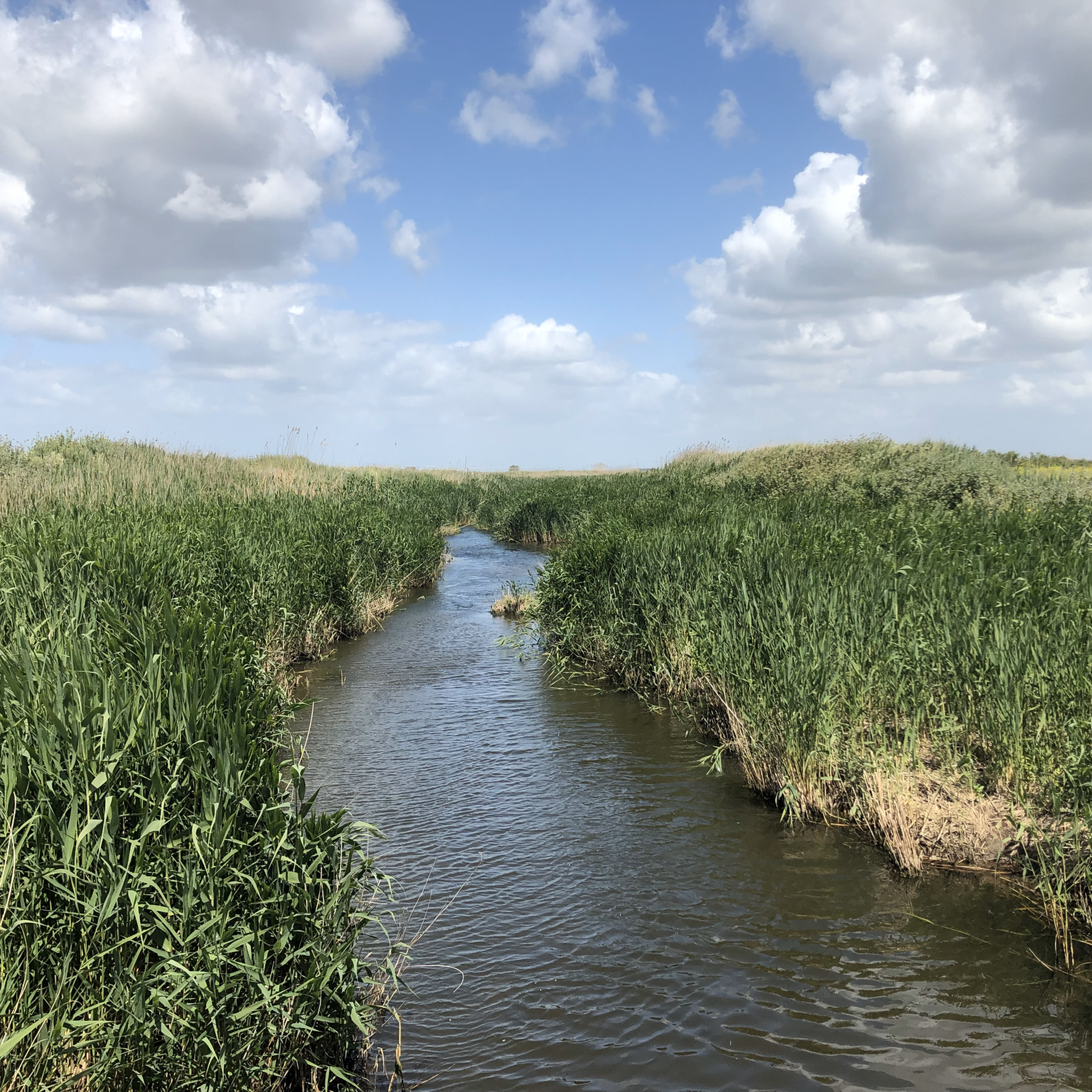
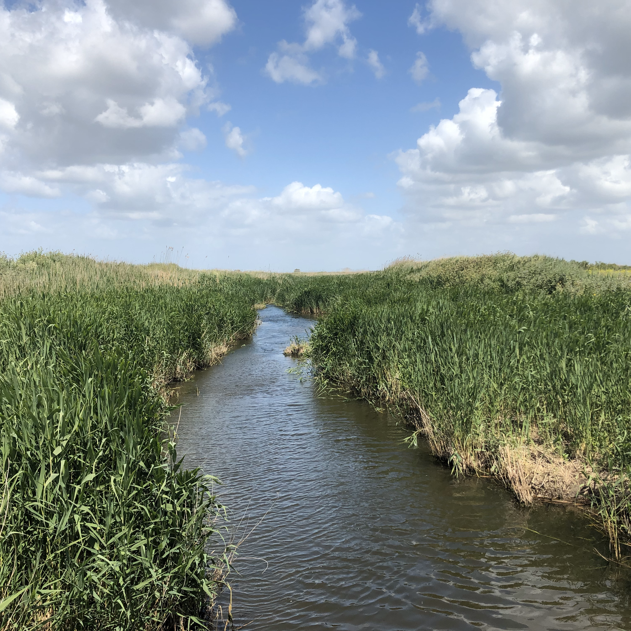
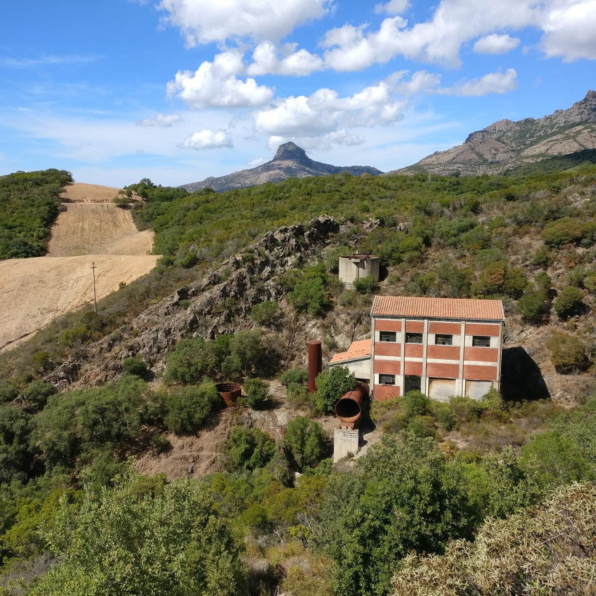
Hiking around Pabillois/Pabillonis offers diverse landscapes in the south-central Campidano plain of Sardinia. While the town itself is situated in a plain near the Flumini Mannu and Flumini Bellu rivers, the surrounding region features varied terrain, including mountains and proximity to the "Green Coast." The area is characterized by historic mining landscapes, such as the Montevecchio Mines, and ancient Nuragic sites, providing a blend of natural beauty and cultural heritage.
Best hiking trails around Pabillois/Pabillonis
- The most popular hiking route…
Last updated: June 30, 2026
2.5
(2)
13
hikers
21.6km
05:57
350m
350m
Hard hike. Very good fitness required. Easily-accessible paths. Suitable for all skill levels.
5.0
(2)
8
hikers
7.36km
02:05
160m
160m
Moderate hike. Good fitness required. Easily-accessible paths. Suitable for all skill levels.

Sign up for free
4
hikers
7.87km
02:05
70m
70m
Moderate hike. Good fitness required. Easily-accessible paths. Suitable for all skill levels.
5
hikers
9.31km
02:51
300m
300m
Moderate hike. Good fitness required. Easily-accessible paths. Suitable for all skill levels.
4.3
(4)
5
hikers
4.60km
01:22
140m
140m
Easy hike. Great for any fitness level. Easily-accessible paths. Suitable for all skill levels.
Get access to more routes and recommendations from other explorers.
Sign up for free
Already have an account?
Our route recommendations are based on thousands of hikes, rides, and runs completed by other people on komoot.
Start today with a free account
Your next adventure awaits.
Login or Signup
Tips from the Community

The Church of Santa Severa, dating back to the Byzantine period, is located on a hill a few meters from the town of Gonnosfanadiga.
0
0

This small, quiet, traffic-free paved secondary road crosses the valley between Arbus and Gonnosfanadiga and leads to the Giants' Tomb of San Cosimo. It is part of the Santa Barbara Mining Trail.
0
0
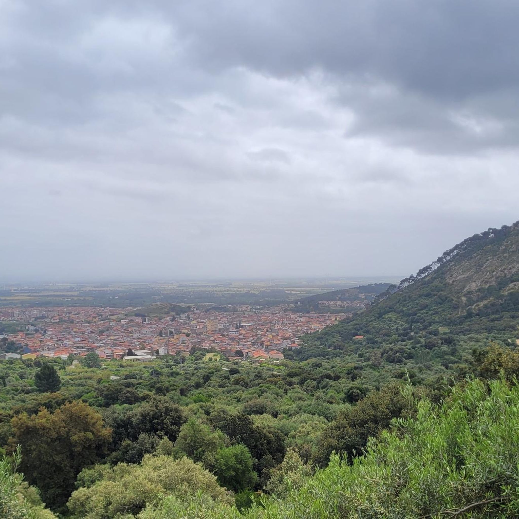
At the foot of the Monte Linas massif, the town of Gonnosfanadiga lies at the transition between the Medio Campidano plain and the first hills of southwestern Sardinia. The area preserves numerous archaeological remains, including nuraghi and Giants' Tombs, such as that of San Cosimo, among the largest on the island. The town, with a population of approximately 6,000, is closely linked to agriculture and craftsmanship: local knives, honey, wine, and oil are famous. Strolling through the town center, you'll notice the centuries-old wells that once served wayfarers and still serve as meeting points for the community. The town has shops, bars, and restaurants, and throughout the year, festivals dedicated to bread, olives, and oil are held.
1
0
Arbus is a village in the Medio Campidano region with a long tradition of mining and craftsmanship. The historic center is home to the Sardinian Knife Museum, several churches, and workshops that keep traditional skills alive. The town is a good starting point for visiting the former mines of Ingurtosu and Montevecchio or reaching the beaches of Scivu and Piscinas. Here, you'll find several options for eating and sleeping, as well as markets, bars, pharmacies, and essential services, useful for those walking the Santa Barbara Mining Trail.
1
0
On the Cuccur'e Zeppara hill, now incorporated into the town of Guspini, you can admire a spectacular wall of basalt prisms up to twenty meters high, perfectly arranged like organ pipes. The formation, created by the slow cooling of lava from an ancient volcanic cone, is considered one of the clearest in Italy and Europe. Declared a natural monument, the quarry can be visited via a short trail that allows for a close-up view of this rare geological feature, similar in shape to be seen only in Sicily, Veneto, Iceland, and a few other places in the world.
1
0

This small but impressive archaeological site is located within private land. It can be reached with a short detour from the dirt road that connects Arbus to Gonnosfanadiga. Even though there are no signs, it is easy to locate its location.
1
0

It is one of the largest megalithic constructions on the island and has yielded an artefact which could be the oldest Mycenaean import found in a Sardinian archaeological site. The Giants' Tomb of San Cosimo stands in a valley in the Gonnosfanadiga area which opens up like a natural amphitheater at the foot of Mount Terra Maistus, in a landscape dominated by the profile of Mount Linas.
1
0
Geological point of interest
0
0
Frequently Asked Questions
How many hiking trails are available around Pabillonis?
There are over 10 hiking routes documented on komoot for the Pabillonis area, offering a variety of experiences for outdoor enthusiasts. These routes range from easy walks to more challenging, longer excursions.
Are there hiking options for all skill levels in the Pabillonis area?
Yes, the Pabillonis area caters to various skill levels. You'll find easy walks, several moderate routes, and even challenging trails for experienced hikers. The region's diverse terrain, from plains to mountains, ensures there's something for everyone.
What kind of landscapes can I expect to see while hiking near Pabillonis?
Hiking near Pabillonis offers a blend of landscapes. While the town itself is in the Campidano plain, routes extend into varied terrain including river valleys, historic mining areas, and ancient Nuragic sites. The wider region also features mountains and is close to the 'Green Coast' with its impressive dunes.
Are there any easy, family-friendly walks around Pabillonis?
Yes, there are easy routes suitable for families. For example, the View from Castle of Sanluri loop from Santa Maria de is Àcuas is a moderate 7.2 km trail that can be completed in about two hours, offering pleasant views and a manageable distance for many families.
Can I find challenging long-distance hikes near Pabillonis?
Absolutely. For those seeking a challenge, routes like the Arbus – Gonnosfanadiga loop from Gùspini/Guspini offer a difficult 28.5 km path with significant elevation changes, traversing varied terrain between two towns. This route requires good physical condition.
What historical sites or landmarks can I explore while hiking in the area?
The Pabillonis area is rich in history. You can hike through the historic Montevecchio Mines, a UNESCO-recognized site, which offers a unique blend of nature and industrial archaeology. Additionally, the region is home to several ancient Nuragic complexes, such as Nuraxi Fenu, providing fascinating historical stops.
Are there many circular hiking routes in Pabillonis?
Many of the hiking routes around Pabillonis are designed as loops, allowing you to start and end at the same point. Examples include the Montevecchio Mines – Montevecchio Mines loop from Montevecchio and the View from Castle of Sanluri loop from Hotel Sardegna Termale, making planning convenient.
What do other hikers enjoy the most about hiking in Pabillonis?
The hiking routes in Pabillonis are highly rated by the komoot community, with an average score of 4.7 stars. Hikers often praise the blend of natural beauty with intriguing historical sites like the Montevecchio Mines and ancient Nuragic settlements, offering a unique and enriching outdoor experience.
Is it possible to hike near waterfalls in the Pabillonis region?
While Pabillonis itself is in a plain, the surrounding region, particularly in the nearby mountains, offers opportunities to discover waterfalls. The diverse natural environment of Sardinia, including its mountains and rivers, provides varied landscapes for exploration.
What is the best time of year to go hiking around Pabillonis?
Sardinia generally offers a long hiking season. Spring and autumn are often ideal, with milder temperatures and lush landscapes. Summers can be hot, especially in the plains, so early mornings or late afternoons are preferable if hiking during this time. Winters are generally mild, allowing for year-round outdoor activities.
Are there any specific attractions or points of interest along the trails?
Yes, many trails incorporate points of interest. You can explore the historic Montevecchio Mines complex, which is a major draw. Other routes might lead you past ancient Nuragic sites or offer views towards landmarks like the Castle of Sanluri, as seen on the View from Castle of Sanluri loop.
Are the hiking trails around Pabillonis well-marked?
Komoot users frequently rate the trails in the Pabillonis area highly, suggesting that routes are generally well-defined and easy to follow. The platform itself provides detailed maps and navigation to help you stay on track.
Most popular routes around Pabillois/Pabillonis
Most popular attractions around Pabillois/Pabillonis

Get inspired with the komoot mobile app


Explore more
Browse the best Hikes in other regions.
