The best walks and hikes around Pietramontecorvino
4.5
(5)
20
hikers
4
hikes
Hiking around Pietramontecorvino offers diverse terrain within the Monti Dauni hills of Puglia, Italy. The region features rolling hills, ancient oak forests, and extensive olive groves. Hikers can explore areas like the Sant'Onofrio Wood, known for its monumental beech trees and water sources. The landscape also includes the Triolo stream valley, providing varied natural features for outdoor activities.
Best hiking trails around Pietramontecorvino
- The most popular hiking route is Monte Orlando – Monte Sambuco loop from Monte Ventolosa, a…
Last updated: June 29, 2026
3.0
(1)
4
hikers
7.18km
02:11
240m
230m
Moderate hike. Good fitness required. Easily-accessible paths. Suitable for all skill levels.
5.0
(1)
8
hikers
6.52km
01:44
70m
70m
Easy hike. Great for any fitness level. Easily-accessible paths. Suitable for all skill levels.

Sign up for free
3
hikers
9.86km
02:37
100m
100m
Moderate hike. Good fitness required. Easily-accessible paths. Suitable for all skill levels.
5.0
(2)
3
hikers
10.2km
02:53
220m
220m
Moderate hike. Good fitness required. Easily-accessible paths. Suitable for all skill levels.
5.0
(1)
2
hikers
3.96km
01:04
50m
50m
Easy hike. Great for any fitness level. Easily-accessible paths. Suitable for all skill levels.
Our route recommendations are based on thousands of hikes, rides, and runs completed by other people on komoot.
Start today with a free account
Your next adventure awaits.
Login or Signup
Tips from the Community

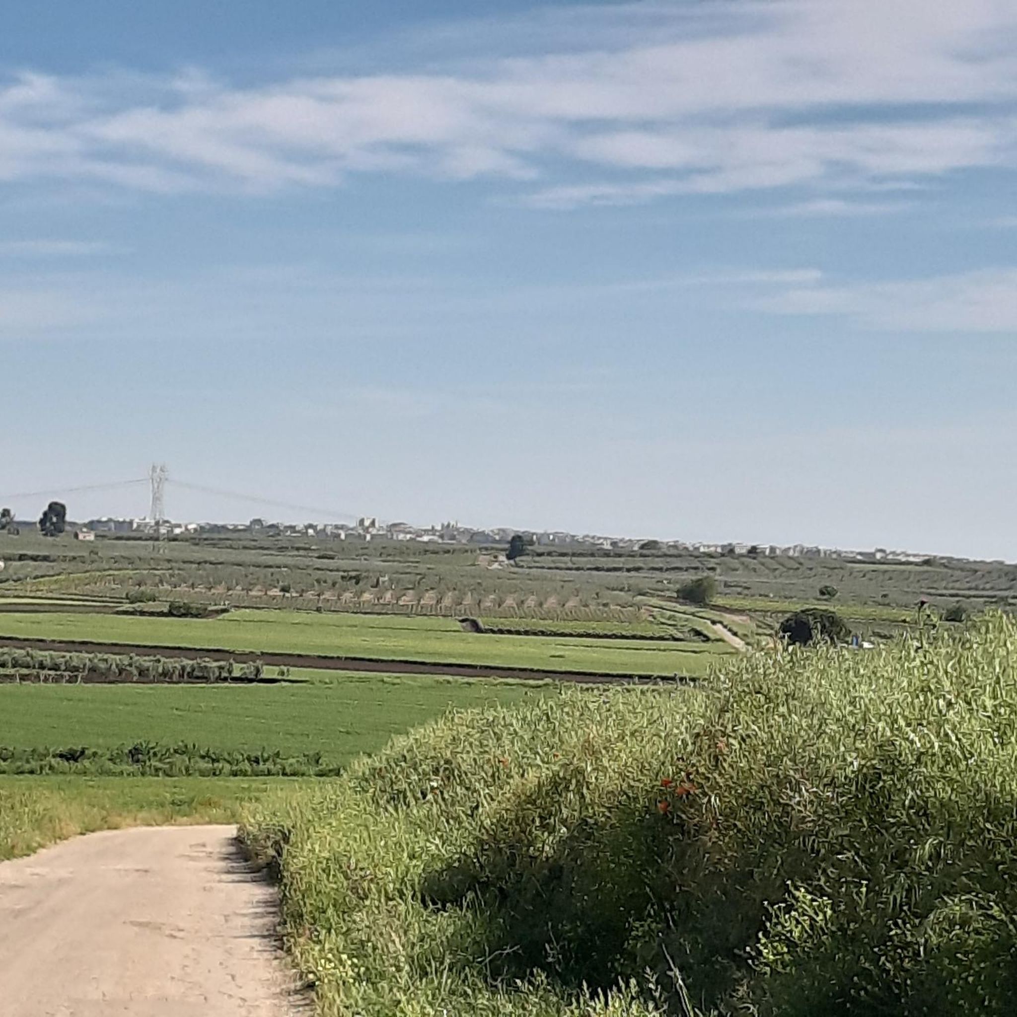
Hotel Federico II is located centrally in Lucera. It is housed in historic rooms and is also appropriately furnished as a special type of accommodation. A restaurant is directly attached. Particularly noteworthy is the option to receive special conditions for pilgrims, which makes the stay even more pleasant.
1
0
The Cathedral of Santa Maria Assunta is a basilica minor in the Gothic architectural style, which is very rarely seen so unaltered in Puglia and is considered the southernmost Gothic brick church in Italy. It is named after a 14th-century statue of the Virgin Mary, carved from dark wood and gilded, with the nickname Madonna della vittoria, because it commemorates the victory of the House of Anjou over the Hohenstaufen in Southern Italy. In the right apse, there is also a 14th-century crucifix originating from the- Rhine region.
1
0

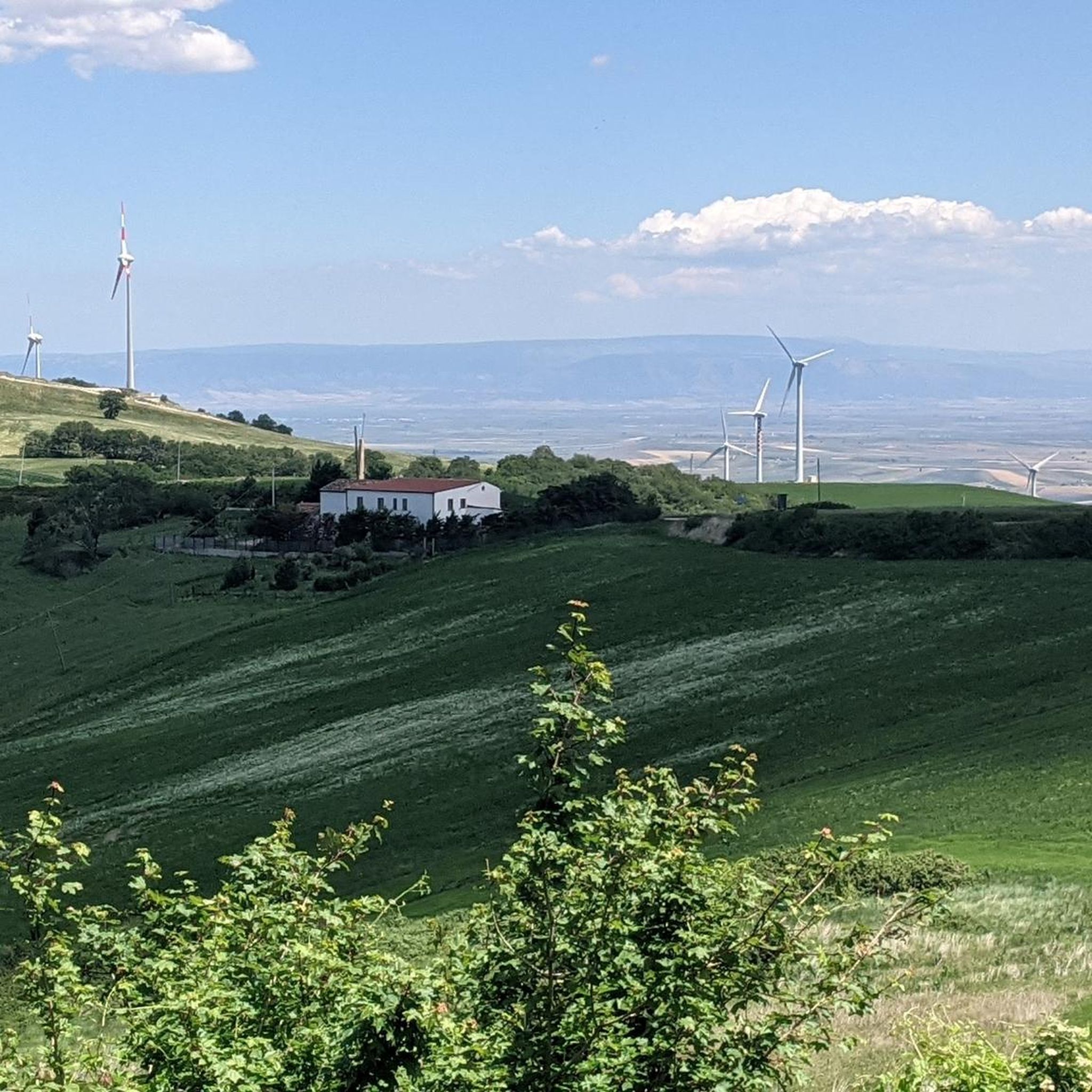
unattended structure open for any parking emergencies
0
0

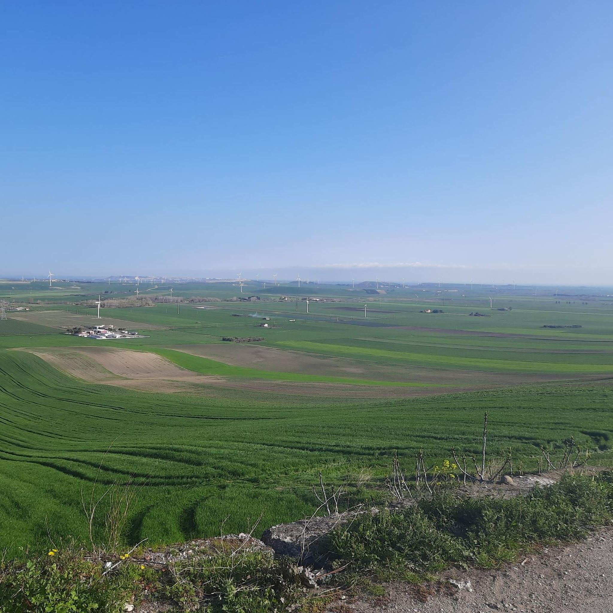
The reservoir💧has a total capacity (mc) of 333 million, while the useful capacity (mc) is approximately 250 million. Currently March 2025 the water availability 🚰 is around 54 million cubic meters. Drastic drop due to climate change, drought effect!
3
0
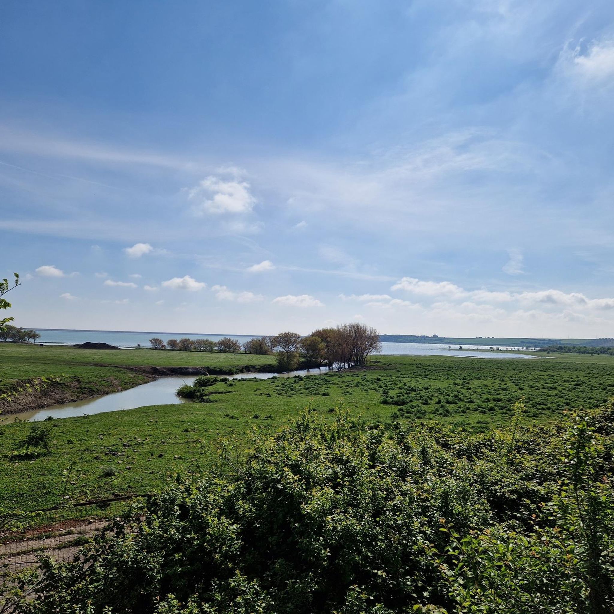
The Occhito lake is a large artificial lake, created with a dam on the Fortore river. It marks the border between Puglia and Molise for about 10 km. It is about 12 km long and half of it belongs to the province of Campobasso and the remaining part to the province of Foggia.
4
0

The Augustan amphitheatre, on the eastern outskirts of Lucera, dates back to the first century AD and is among the oldest in southern Italy. Its considerable size testifies to the importance of the city.
0
0
The fortress dominated the arrival of the Transhumance flocks from the top of Colle Albano. Lucera, before Foggia, was the seat of customs.
0
0

The castle of Lucera is a 13th century Swabian-Angevin fortress, built by Frederick II and enlarged by Charles I of Anjou. It is located on the top of Colle Albano from which it dominates the Tavoliere delle Puglie. It was the residence of the emperor and the Saracens who had moved from Sicily, today it is a national monument and preserves the ruins of the palace, the mint and the mosque.
1
0
Frequently Asked Questions
How many hiking trails are available around Pietramontecorvino?
There are over 3 hiking routes documented on komoot for the Pietramontecorvino area, offering diverse experiences within the Monti Dauni hills. These range from easy strolls to more moderate climbs.
What kind of terrain can I expect on hikes in Pietramontecorvino?
Hikers in Pietramontecorvino will encounter varied terrain, including rolling hills, ancient oak forests, and extensive olive groves. The region is part of the Monti Dauni hills, offering both gentle slopes and more elevated sections, with picturesque views over valleys and the Triolo stream.
Are there any easy or beginner-friendly hiking routes in the area?
Yes, Pietramontecorvino offers several easy routes suitable for beginners. For instance, the Castle of Lucera loop from Lucera is an easy 6.6 km path that provides scenic views of the historic castle and surrounding countryside.
What natural features or landmarks can I see while hiking near Pietramontecorvino?
The trails often lead through ancient oak forests and olive groves. You can also explore the Sant'Onofrio Wood, known for its monumental beech trees and water sources like Pila del Ladro and Pila Sant'Onofrio. The historic center of Pietramontecorvino itself overlooks the Triolo stream valley, offering unique views of houses suspended over the "Guado degli Uncini." Additionally, you might spot rustic rural chapels along the way.
Are there any circular hiking routes available?
Yes, many routes in the area are circular. An example is the Monte Orlando – Monte Sambuco loop from Monte Ventolosa, a moderate 7.1 km trail that navigates through the Monti Dauni hills.
What is the best time of year to go hiking in Pietramontecorvino?
The best times for hiking and outdoor activities in Pietramontecorvino are typically spring and fall. During these seasons, the weather is most favorable, offering pleasant temperatures for exploring the trails and enjoying the natural beauty of the Monti Dauni hills.
Are there any family-friendly hiking options around Pietramontecorvino?
Yes, the region has routes suitable for families. The varied terrain includes gentle slopes and shorter paths. An easy option is the Roman Amphitheatre Lucera loop from Lucera, which is approximately 4 km long and offers a pleasant walk.
What do other hikers say about the trails in Pietramontecorvino?
The hiking routes in Pietramontecorvino are highly rated by the komoot community, with an average score of 4.3 stars. Hikers often praise the diverse terrain, from rolling hills to ancient forests, and the immersive experience in the unspoiled surroundings.
Can I find historical sites or castles along the hiking trails?
Absolutely. Many trails offer views of historical sites. For example, the Castello di Lucera – Castle of Lucera loop from Lucera is a moderate 9.9 km trail that passes by the historic Castle of Lucera. Other nearby attractions include Castel Fiorentino and the Cathedral of Santa Maria Assunta in Lucera.
Are there any trails that lead to water bodies or offer views of lakes?
Yes, you can find trails that feature water bodies. The Occhito Dam loop from Carlantino is a moderate 10.2 km hike that offers views of Lago di Occhito, an artificial lake known for its scenic setting.
What are the options for parking when accessing hiking trails?
While specific parking details for each trailhead are best checked on individual route pages, Pietramontecorvino, as a charming village, typically offers public parking areas. For trails starting outside the main town, it's advisable to look for designated parking near the starting points or consult local information upon arrival.
Is public transport available to reach hiking areas around Pietramontecorvino?
Pietramontecorvino is situated in the Monti Dauni hills. While local bus services connect the village to larger towns like Foggia, direct public transport to specific trailheads might be limited. It's recommended to check local bus schedules for connections to Pietramontecorvino and then plan for local travel or short walks to reach your desired starting point.
Most popular routes around Pietramontecorvino
Most popular attractions around Pietramontecorvino

Get inspired with the komoot mobile app


Explore more
Browse the best Hikes in other regions.
