The best gravel rides around Bernieulles
4.7
(4)
30
riders
5
rides
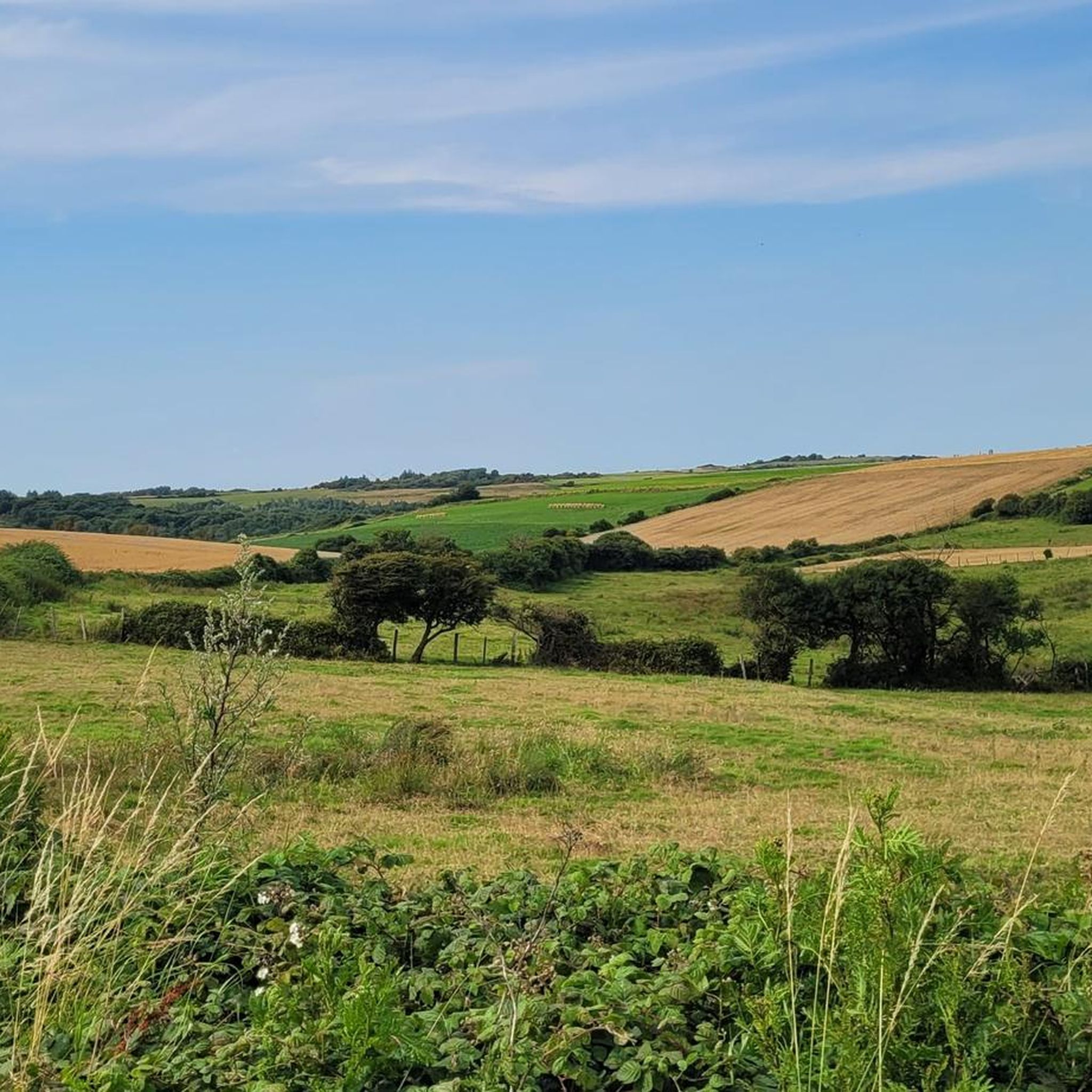
Gravel biking around Bernieulles, located in the Pas-de-Calais department, offers varied terrain suitable for off-road cycling. The region features a mix of altitudes, ranging from 41m to 120m, providing diverse topography for gravel exploration. Riders can expect to encounter unpaved roads and paths through forests, along river valleys, and near coastal areas. The landscape includes rural roads connecting small towns and natural reserves, ideal for gravel exploration.
Best gravel bike trails around Bernieulles
- The most popular gravel bike trail is…
Last updated: June 29, 2026
4.0
(2)
9
riders
31.7km
01:56
200m
200m
Moderate gravel ride. Good fitness required. Mostly paved surfaces. Suitable for all skill levels.
5
riders
Moderate gravel ride. Good fitness required. Mostly paved surfaces. Suitable for all skill levels.

Sign up for free
5.0
(1)
4
riders
29.2km
01:54
190m
190m
Hard gravel ride. Good fitness required. You may need to push your bike for some segments of this route.
3
riders
48.6km
03:27
670m
670m
Hard gravel ride. Very good fitness required. Mostly paved surfaces. Suitable for all skill levels.
5.0
(1)
3
riders
34.1km
02:04
120m
120m
Moderate gravel ride. Good fitness required. Mostly paved surfaces. Suitable for all skill levels.
Our route recommendations are based on thousands of hikes, rides, and runs completed by other people on komoot.
Start today with a free account
Your next adventure awaits.
Login or Signup



Tips from the Community


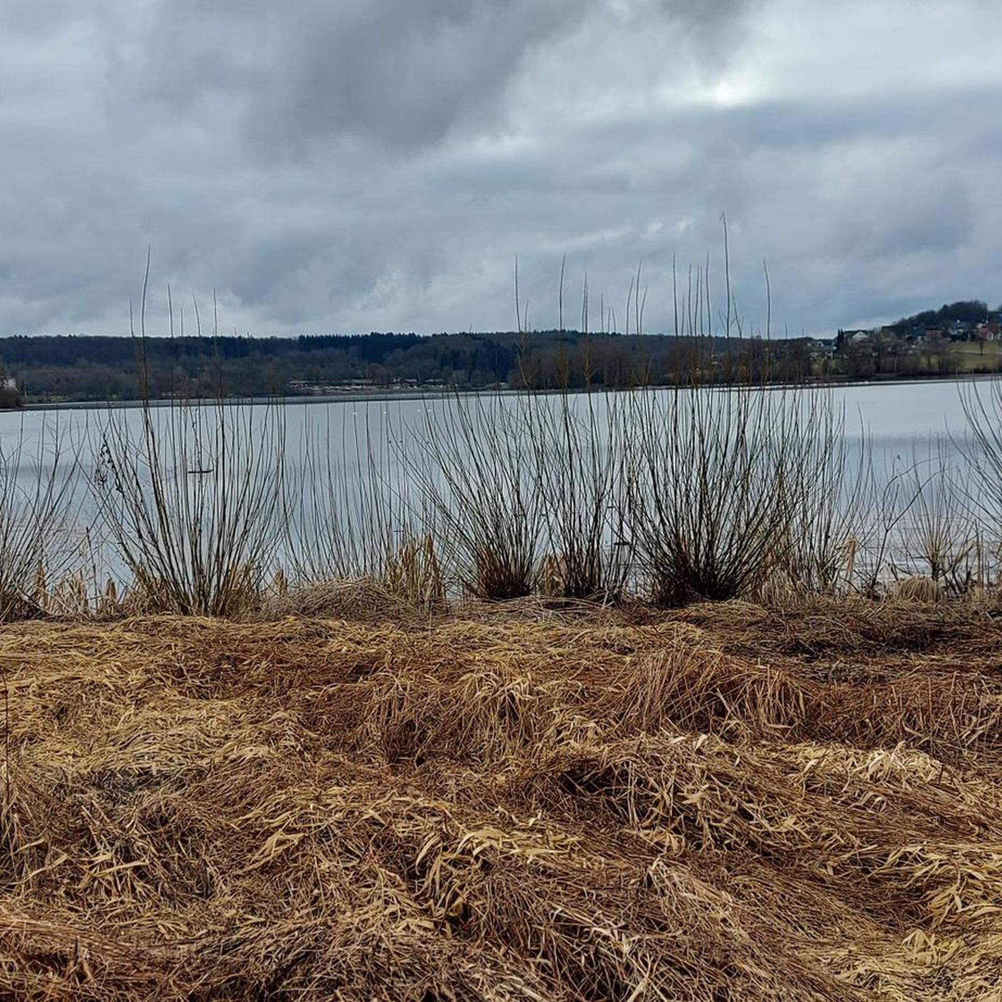
Somewhat remote, but very worth seeing
0
0
The Canche (Dutch: Kwinte) is a river in France, flowing through the Pas-de-Calais department in the Hauts-de-France region. It originates in the Ternois region, within the commune of Gouy-en-Ternois. Initially flowing southeast, it then turns northwest and, after approximately 100 kilometers, empties into the English Channel as an estuary north of Étaples and Le Touquet-Paris-Plage. Here, the Canche is strongly influenced by the tides. This results in significant fluctuations in the river's water level and the formation of extensive salt marshes.
0
0

TOUQUET-PLAGE municipal forest for cycling, mountain biking and very pleasant walking 👍😉
1
0

Even on an electric mountain bike in turbo mode, some sections are impassable. To get through them more or less, you have to look for the sides of the track, where a bit of grass allows you to pass without getting stuck in the sand.
1
0
The sandy trails are impassable by bike. We had to walk a lot on these trails.
2
0
very smooth uphill and downhill in dry weather
0
0
Frequently Asked Questions
How many gravel bike trails are available around Bernieulles?
There are over 9 gravel bike routes available around Bernieulles, offering a variety of experiences for different skill levels. The komoot community has highly rated these routes, with an average score of 4.9 stars.
What kind of terrain can I expect on gravel bike trails near Bernieulles?
The terrain around Bernieulles is quite varied, ranging from 41m to 120m in altitude. You'll find a mix of unpaved roads and paths through forests, along river valleys like the Canche, and even near coastal areas. Expect rural roads connecting small towns and natural reserves, providing diverse scenery and riding conditions.
What are the difficulty levels of gravel bike trails in the Bernieulles area?
The gravel bike trails around Bernieulles cater to various abilities. You'll find a good selection of moderate routes, such as the Citadel of Montreuil – Le Touquet-Paris-Plage loop from Montreuil-sur-Mer, as well as more challenging options like the Banks of the Canche – Montreuil and its citadel loop from Montreuil-sur-Mer, which features significant elevation gain.
Are there any easy gravel bike routes suitable for beginners?
While the guide primarily lists moderate and difficult routes, many of the trails feature sections that are manageable for beginners. For a less strenuous ride, consider routes with lower elevation gain, such as the View of Étaples harbor – Le Touquet-Paris-Plage loop from Étaples - Le Touquet, which is rated moderate but has relatively flat sections.
What interesting landmarks or attractions can I see while gravel biking near Bernieulles?
Many routes pass by significant landmarks. For example, you can explore the historic Montreuil and its citadel, or ride near the poignant Étaples military cemetery. Coastal routes might offer views of the Étaples harbor and the Calvaire des Marins d’Étaples. The region's proximity to the Opal Coast also means diverse natural scenery.
Are there any circular gravel bike routes starting near Bernieulles?
Yes, many of the gravel bike routes in the area are designed as loops, allowing you to start and finish in the same location. Examples include the Citadel of Montreuil – Le Touquet-Paris-Plage loop from Montreuil-sur-Mer and the Calvaire des Marins d’Étaples – Port of ETAPLES loop from Étaples - Le Touquet.
When is the best time of year to go gravel biking around Bernieulles?
The Pas-de-Calais region generally offers good conditions for gravel biking from spring through autumn. The varied terrain, including forest paths and coastal trails, can be enjoyed in milder weather. Summer provides longer daylight hours, while spring and autumn offer pleasant temperatures and beautiful scenery.
Are there family-friendly gravel bike routes available near Bernieulles?
While specific 'family-friendly' designations aren't always explicit for gravel routes, many of the moderate trails with less significant elevation gain can be suitable for families with older children or those comfortable with longer distances. Look for routes that stick to wider, less technical paths.
Can I bring my dog on gravel bike trails around Bernieulles?
Many natural areas and public paths in France are dog-friendly, especially if your dog is well-behaved and kept on a leash. When riding through forests or nature reserves, always check local regulations regarding dogs. It's generally advisable to ensure your dog is accustomed to cycling alongside you for their safety and yours.
Where can I find parking for gravel biking near Bernieulles?
Many of the routes start from towns like Montreuil-sur-Mer or Étaples-sur-Mer, where public parking is generally available. Look for designated parking areas within these towns, especially near popular attractions or trailheads. Rural starting points may have limited roadside parking.
Is Bernieulles accessible by public transport for gravel bikers?
Bernieulles itself is a small commune, but nearby larger towns like Montreuil-sur-Mer and Étaples-sur-Mer are more accessible by public transport, including regional trains. From these towns, you can often connect to the gravel biking routes. Check local train and bus schedules for the most up-to-date information on transport options that accommodate bicycles.
Are there places to stop for refreshments or food along the gravel bike routes?
Yes, many routes pass through or near charming towns and villages like Montreuil-sur-Mer, Étaples-sur-Mer, and Le Touquet-Paris-Plage. These locations offer various cafes, restaurants, and shops where you can refuel and find refreshments. Planning your route to include these stops is recommended.
What are the typical distances and elevation gains for gravel bike routes in this area?
The gravel routes around Bernieulles vary significantly. Distances typically range from around 30 km (19 miles) to nearly 50 km (31 miles). Elevation gains can vary from approximately 100 meters (330 feet) on flatter coastal routes to over 600 meters (2,000 feet) on more challenging inland loops, such as the Inxent – Banks of the Canche loop from Montreuil-sur-Mer.
Most popular routes around Bernieulles
Most popular attractions around Bernieulles

Get inspired with the komoot mobile app


Explore more
Browse the best Gravel rides in other regions.
