The best walks and hikes around Charbonnières
4.7
(5)
43
hikers
11
hikes
Hiking around Charbonnières offers diverse natural landscapes, characterized by ancient volcanic features and extensive woodlands. The region features the unique Gour de Tazenat, a perfectly circular crater lake, and provides panoramic views of the Chaîne des Puys. Trails often follow the Morge river, revealing vernacular heritage and traversing forests of oak, elm, and ash. The varied terrain includes gentle river paths and routes with moderate elevation changes.
Best hiking trails around Charbonnières
- The most popular hiking route is Vichère Church…
Last updated: October 15, 2026
5.0
(3)
18
hikers
7.84km
02:11
150m
150m
Moderate hike. Good fitness required. Easily-accessible paths. Suitable for all skill levels.
4.0
(1)
7
hikers
12.3km
03:17
120m
120m
Moderate hike. Good fitness required. Easily-accessible paths. Suitable for all skill levels.

5
hikers
6.75km
01:44
30m
30m
Easy hike. Great for any fitness level. Easily-accessible paths. Suitable for all skill levels.
5.0
(1)
6
hikers
4.26km
01:06
30m
30m
Easy hike. Great for any fitness level. Easily-accessible paths. Suitable for all skill levels.
5
hikers
8.21km
02:16
150m
150m
Moderate hike. Good fitness required. Easily-accessible paths. Suitable for all skill levels.
Get access to more routes and recommendations from other explorers.
Already have an account?
Our route recommendations are based on thousands of hikes, rides, and runs completed by other people on komoot.
Start today with a free account
Your next adventure awaits.
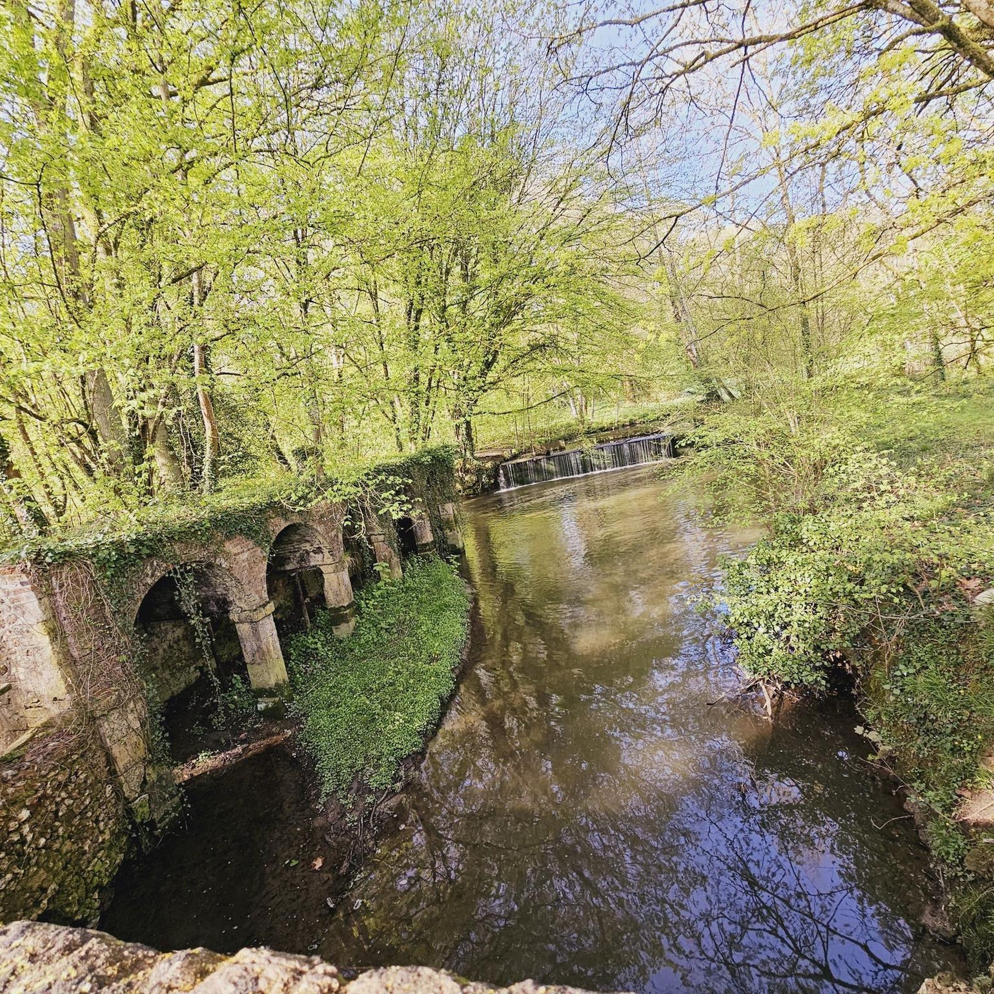
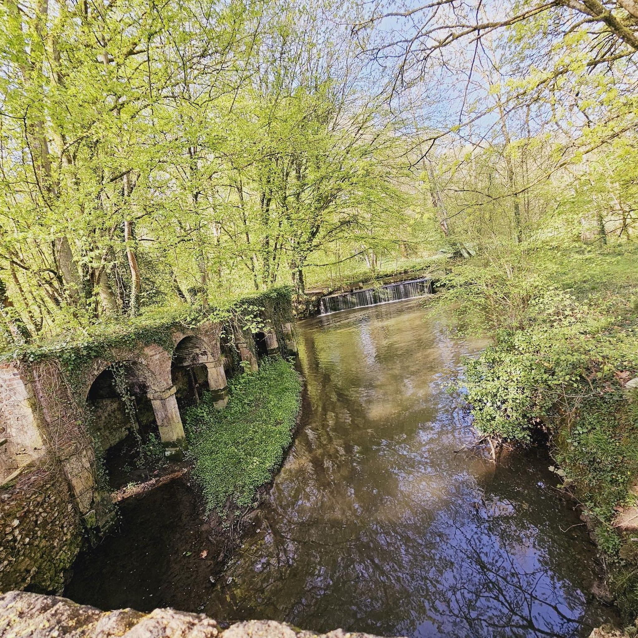


Tips from the Community

This 16th century church is distinguished by its two naves of different inspiration. The north nave is Romanesque while the south nave is Renaissance style.
0
0

Frequently Asked Questions
How many hiking trails are available around Charbonnières, and what are their difficulty levels?
There are 12 hiking routes available around Charbonnières. The trails offer a good mix for various abilities, with 6 easy routes and 6 moderate routes to choose from.
What unique natural features can I expect to see while hiking in Charbonnières?
Hikers in Charbonnières can explore diverse natural landscapes, including the unique Gour de Tazenat, a perfectly circular crater lake. Many trails also offer panoramic views of the Chaîne des Puys, a chain of volcanoes. You'll also find extensive forests with oak, elm, and ash trees, and paths along the Morge river.
Are there any circular hiking routes in Charbonnières?
Yes, many of the trails in Charbonnières are circular. For example, the Vichère Church – Vichères Church loop from Vichères is a popular moderate circular route covering 7.8 km. Another option is the Étang des Panses loop from Argenvilliers, a moderate 12.3 km trail that features a mix of open fields and forest sections.
What kind of landmarks or points of interest can I discover along the trails?
Beyond the natural beauty, trails often reveal interesting landmarks. Along the Morge river, you can find remarkable vernacular heritage such as wells, crosses, wash-houses, and old mills. You might also encounter specific points of interest like the Lovely stretch through the fields, or historical churches such as the Saint Martin Church.
Are there any easy hiking trails suitable for beginners or a relaxed walk?
Absolutely. Charbonnières offers 6 easy routes perfect for beginners or those looking for a relaxed stroll. An example is the Saint John the Baptist Church – 2 loop from La Bazoche-Gouet, a 6.9 km trail through rural landscapes that takes less than two hours to complete.
What do other hikers enjoy most about the trails in Charbonnières?
The hiking routes in Charbonnières are highly rated by the komoot community, with an average score of 5.0 stars. Hikers often praise the diverse natural landscapes, the unique volcanic features, and the well-maintained trails that offer a mix of woodlands and open views.
Is Charbonnières a good destination for family-friendly hikes?
Yes, Charbonnières is suitable for family-friendly hikes, particularly with its 6 easy routes. These trails often traverse woodlands and offer scenic beauty without significant elevation challenges, making them enjoyable for all ages. The circular path around Gour de Tazenat is also an easy and scenic option.
What is the best season to go hiking in Charbonnières?
The region's extensive forests and wooded areas, with trees like oaks, elms, and ashes, provide shaded paths, making hiking enjoyable during warmer months. Spring and autumn offer pleasant temperatures and vibrant foliage, while summer provides cool, shaded relief. Winter hiking is also possible, though conditions may vary.
Are there any less crowded hiking options in the area?
While specific crowd levels can vary, the broader Combrailles region, where Charbonnières-les-Vieilles is located, offers diverse landscapes with numerous trails. Exploring routes slightly off the main popular paths, or hiking during off-peak hours, can lead to a more tranquil experience amidst streams, ponds, and panoramic views.
What kind of terrain can I expect on the hiking trails around Charbonnières?
The terrain around Charbonnières is quite varied. You'll find undulating paths alongside the Morge river, trails traversing extensive woodlands, and routes offering views of volcanic landscapes. Some paths involve moderate elevation changes, while others are relatively flat, providing a mix of experiences from gentle strolls to more engaging hikes.
Are there any other notable attractions or viewpoints nearby?
Beyond the trails, the region offers several viewpoints and attractions. The Gris-Peine Pass (240 m) offers a specific vantage point. Additionally, the panoramic views of the Bourbonnais mountains and the Forez Massif from various points in the Combrailles region are worth seeking out.
Most popular attractions around Charbonnières

Get inspired with the komoot mobile app


Explore more
Browse the best Hikes in other regions.
