The best walks and hikes around Chassey-Beaupré
4.7
(3)
30
hikers
12
hikes
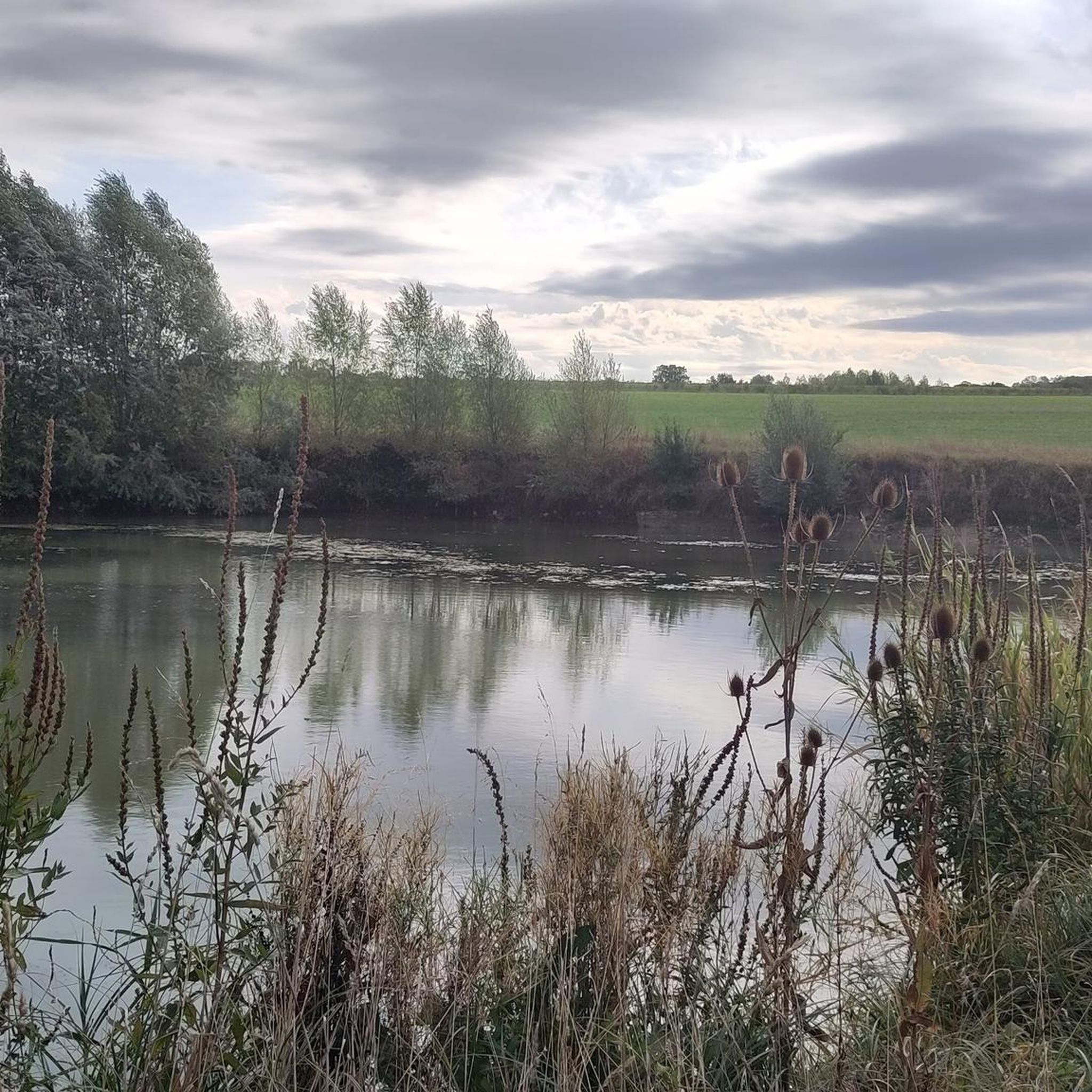
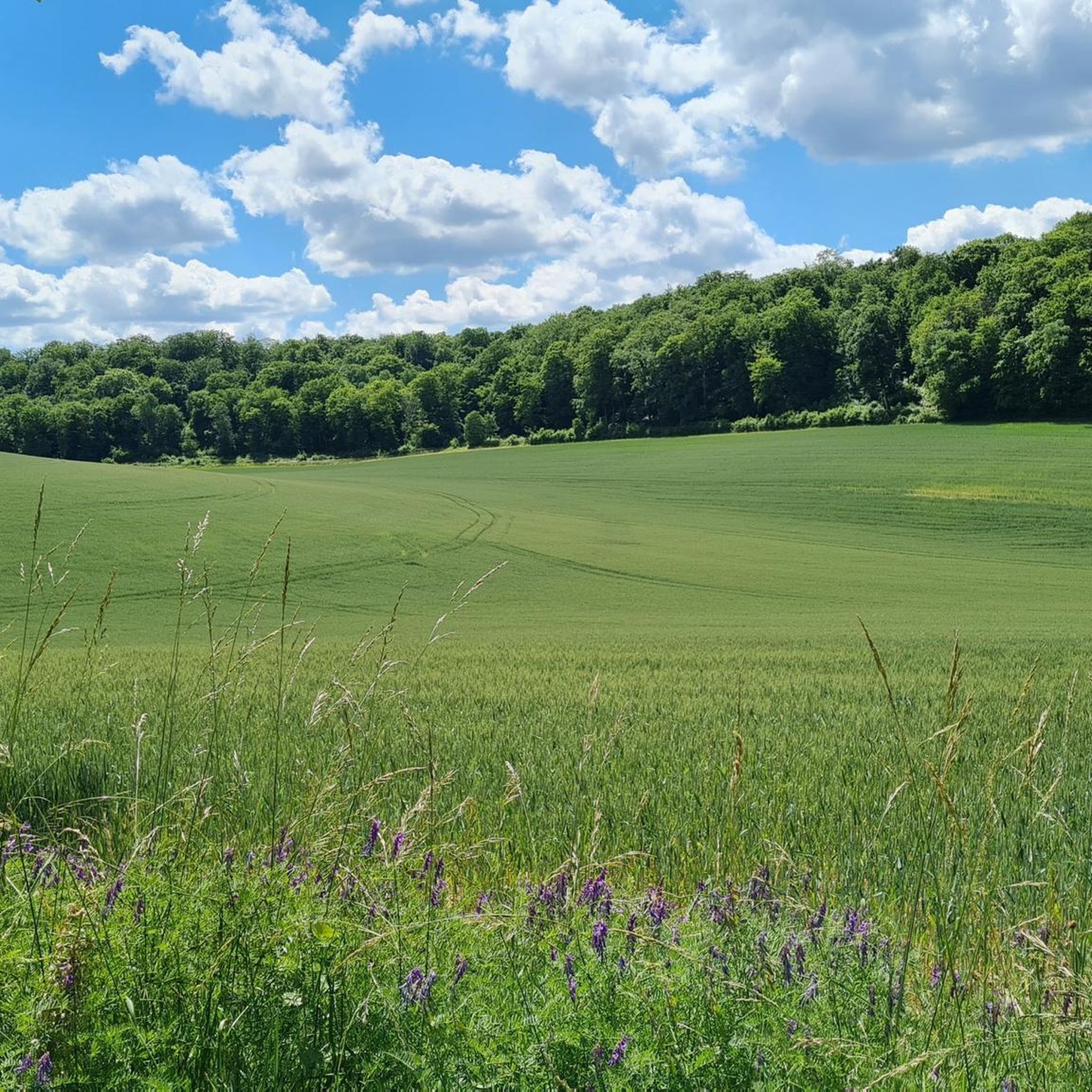
Hiking around Chassey-Beaupré offers access to the diverse landscapes of the Lorraine Regional Natural Park in France's Meuse department. The region features a mix of deciduous forests, river valleys, and agricultural plateaus, providing varied terrain for outdoor activities. Wooded hills and limestone ridges offer elevated viewpoints and distinct natural features. This area is characterized by its natural settings, suitable for exploring on foot.
Best hiking trails around Chassey-Beaupré
- The most popular hiking route is Gondrecourt-le-Château loop from Gondrecourt-le-Château, a…
Last updated: June 22, 2026
3
hikers
Moderate hike. Good fitness required. Easily-accessible paths. Suitable for all skill levels.
4.0
(1)
3
hikers
9.52km
02:32
100m
100m
Moderate hike. Good fitness required. Easily-accessible paths. Suitable for all skill levels.

Sign up for free
5.0
(1)
4
hikers
17.7km
04:45
210m
210m
Moderate hike. Good fitness required. Easily-accessible paths. Suitable for all skill levels.
2
hikers
Moderate hike. Good fitness required. Easily-accessible paths. Suitable for all skill levels.
5.0
(1)
4
hikers
19.1km
05:07
230m
230m
Hard hike. Very good fitness required. Easily-accessible paths. Suitable for all skill levels.
Get access to more routes and recommendations from other explorers.
Sign up for free
Already have an account?
Our route recommendations are based on thousands of hikes, rides, and runs completed by other people on komoot.
Start today with a free account
Your next adventure awaits.
Login or Signup

Tips from the Community

monumental building for this small town the first floor is open and supported by columns and arches it may serve as a market place
0
0
Very nice rest area and you can also refresh yourself.
0
0
Frequently Asked Questions
How many hiking trails are available around Chassey-Beaupré?
There are over 10 hiking routes available around Chassey-Beaupré, offering a variety of experiences. These trails range from easy walks to more challenging routes, catering to different fitness levels.
What kind of landscapes can I expect to see while hiking in this region?
The region around Chassey-Beaupré, situated within the Lorraine Regional Natural Park, offers a diverse tapestry of landscapes. You can expect to traverse dense deciduous forests, follow picturesque river valleys, cross open agricultural plateaus, and climb wooded hills. Limestone ridges also provide elevated viewpoints with sweeping vistas.
Are there any family-friendly hiking options in Chassey-Beaupré?
Yes, the Lorraine Regional Natural Park features 'Promenade routes' specifically designed to be accessible to families. While specific family-friendly routes are not detailed in the guide, the general network includes easier paths suitable for all ages. Look for routes with lower elevation gain and shorter distances for a pleasant family outing.
Can I bring my dog on the hiking trails around Chassey-Beaupré?
Many trails in the Lorraine Regional Natural Park are generally dog-friendly, though it's always advisable to keep your dog on a leash, especially in areas with wildlife or near agricultural land. Be mindful of local regulations and ensure your dog is well-behaved and doesn't disturb other hikers or local fauna.
What are the difficulty levels of the hikes in Chassey-Beaupré?
The hiking trails around Chassey-Beaupré offer a range of difficulty levels. The guide includes 1 easy route, 8 moderate routes, and 1 difficult route. This variety ensures there's something for everyone, from casual walkers to experienced hikers looking for a challenge.
Are there any circular hiking routes available?
Yes, several circular routes are available. For example, the Gondrecourt-le-Château loop from Gondrecourt-le-Château is a moderate 10.1 km trail exploring the local countryside. Another option is the Hiking loop from Bois Communal, a moderate 17.7 km path through wooded areas.
What historical sites or landmarks can be found along the trails?
The Meuse department, where Chassey-Beaupré is located, is rich in history, particularly from the First World War. Hiking trails often pass through memorial forests and sites such as the Verdun battlefields, adding a poignant historical dimension to your outdoor excursions. The region also features charming villages and traditional architecture.
What is the best time of year to go hiking in Chassey-Beaupré?
The best time to visit Chassey-Beaupré for hiking is typically during spring (April to June) and autumn (September to October). During these seasons, the weather is generally mild, and the natural scenery is particularly beautiful, with blooming wildflowers in spring and vibrant foliage in autumn. Summer can also be pleasant, but be prepared for warmer temperatures.
Are there any notable natural features or viewpoints to discover?
Absolutely. The Meuse Heights form an imposing limestone ridge offering natural balconies with extensive views over the Woëvre plain. The region also features river valleys, such as those along the Meuse River, providing picturesque routes and panoramic viewpoints. The diverse ecosystems of the Lorraine Regional Natural Park ensure plenty of natural beauty to explore.
What do other hikers say about the trails in Chassey-Beaupré?
The routes in Chassey-Beaupré are highly rated by the komoot community, with an average score of 5.0 stars from a few reviews. Hikers often praise the varied terrain, the natural scenery, and the well-maintained paths that allow for enjoyable exploration of the region's forests and countryside.
Is there parking available at the trailheads?
While specific parking details for every trailhead are not provided, many hiking areas within the Lorraine Regional Natural Park and around villages like Gondrecourt-le-Château typically offer designated parking spaces. It's advisable to check local signage upon arrival or consult detailed route maps for specific parking information.
Are there any longer, more challenging hikes for experienced trekkers?
Yes, for experienced trekkers, there are more challenging options. The Hiking loop from Grand is an 19.1 km difficult trail leading through diverse landscapes, often completed in about 5 hours 7 minutes. This route offers a greater physical challenge and a chance to explore more extensive areas of the region.

Get inspired with the komoot mobile app


Explore more
Browse the best Hikes in other regions.
