The best gravel rides around Pierrefitte-En-Cinglais
4.0
(3)
44
riders
3
rides
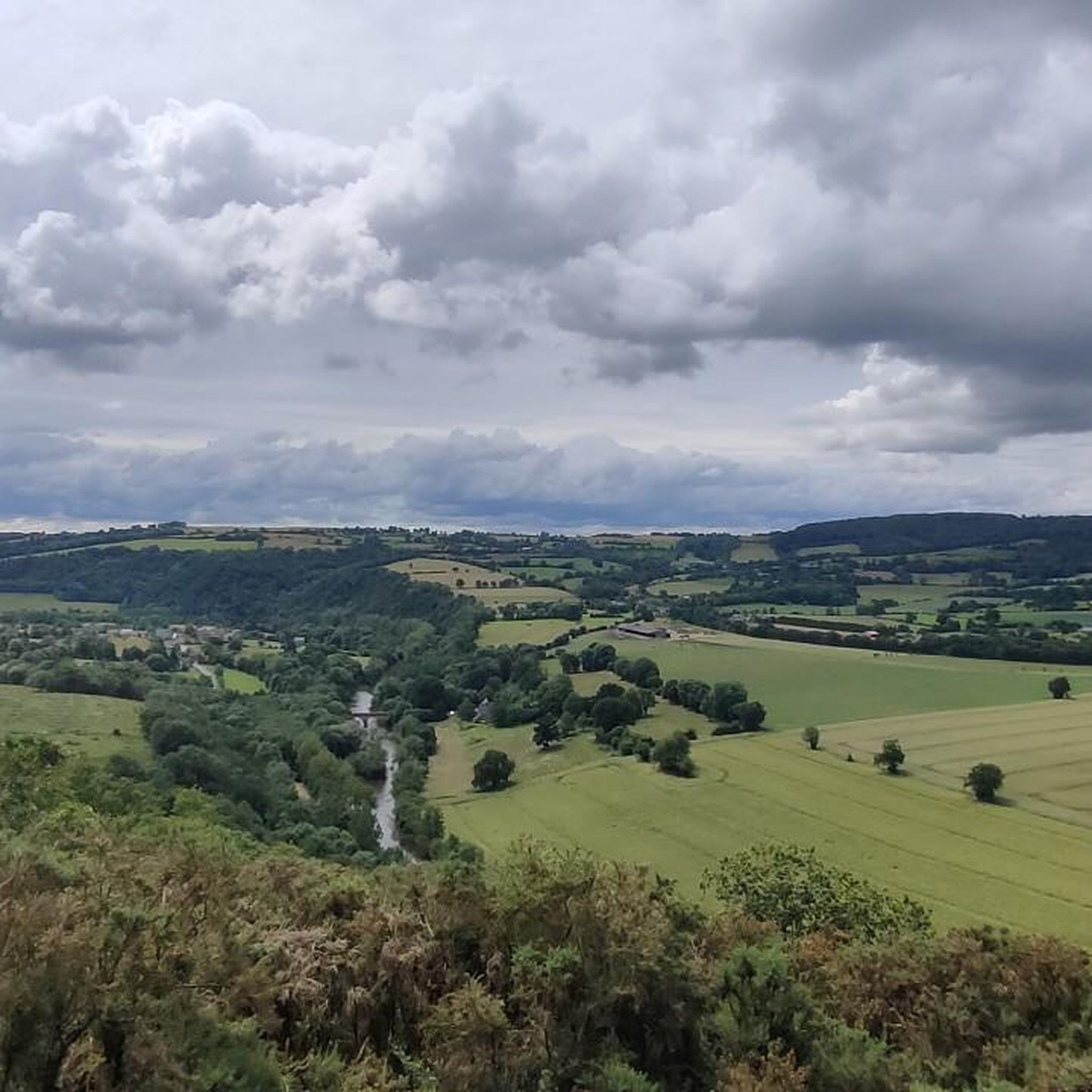
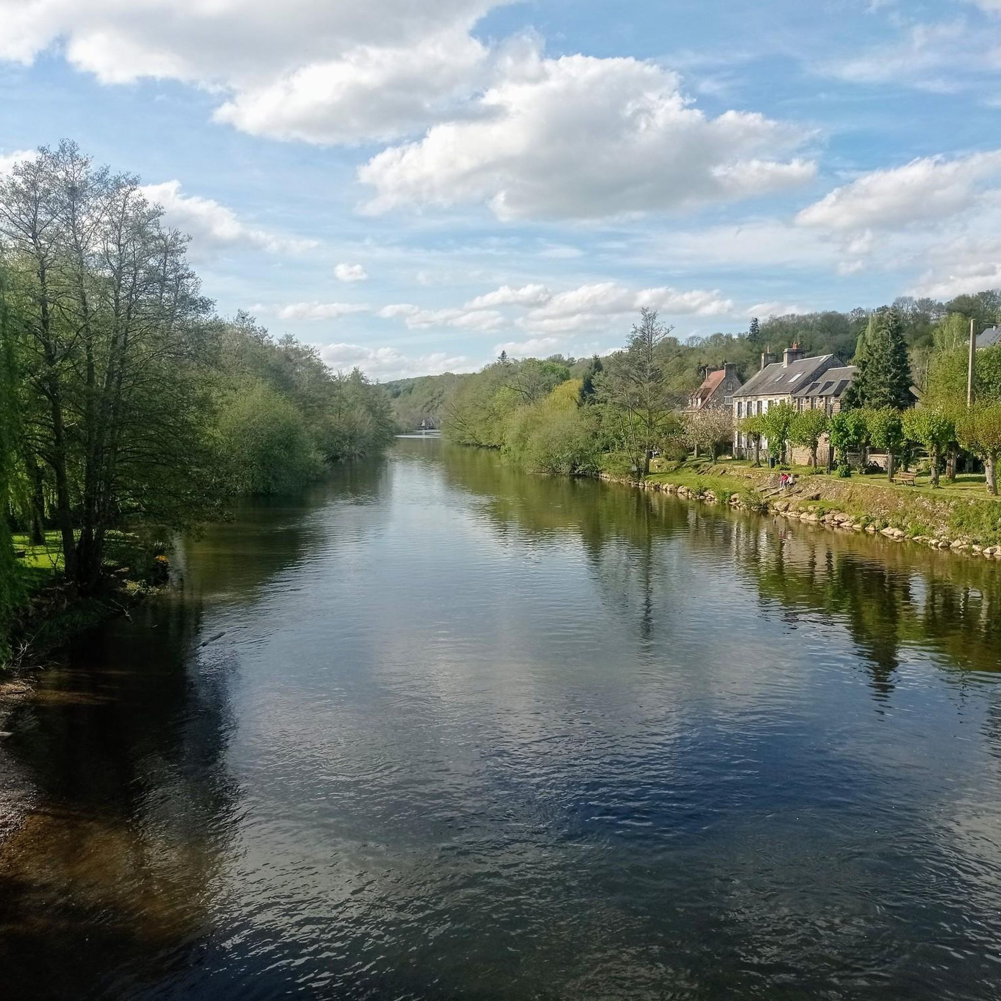
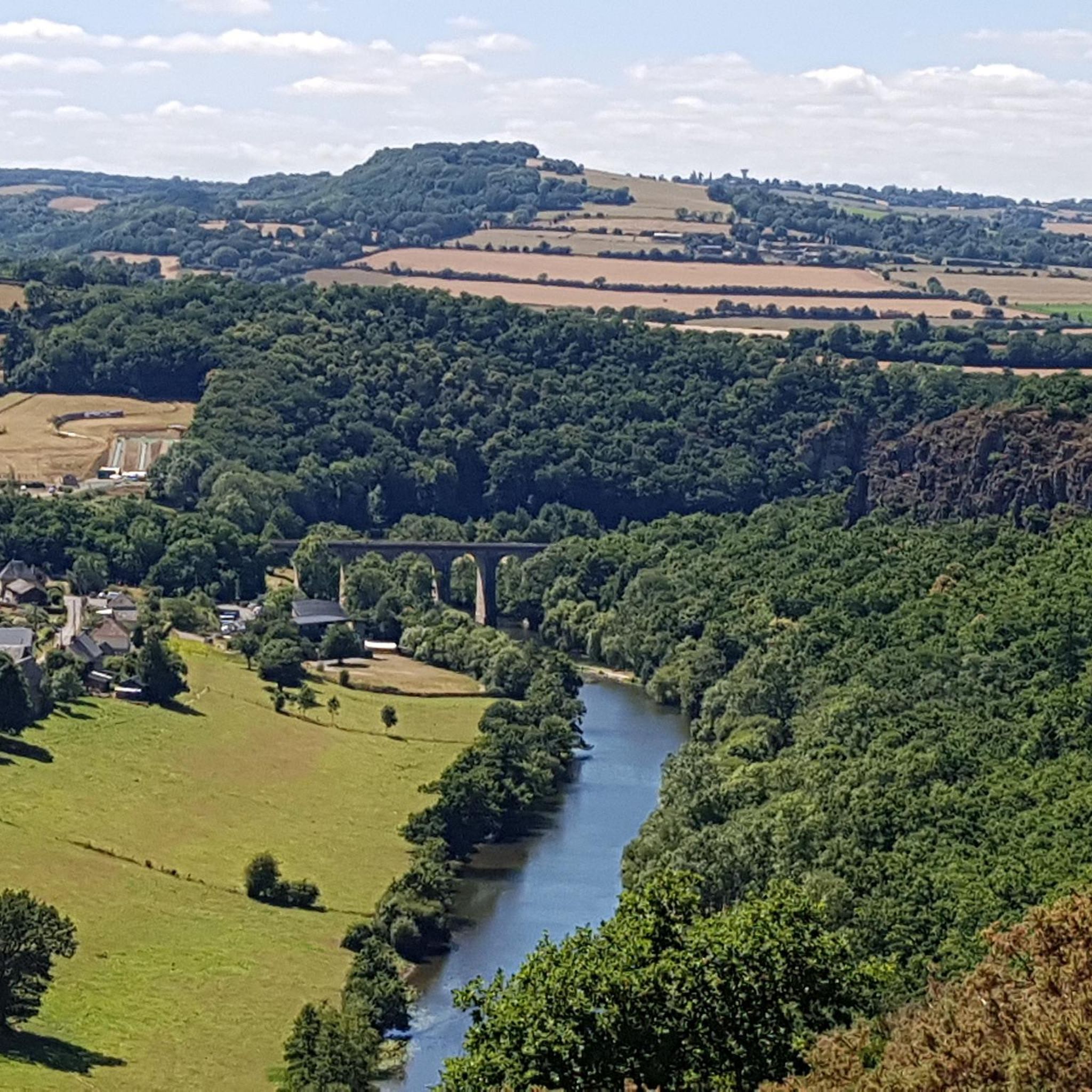
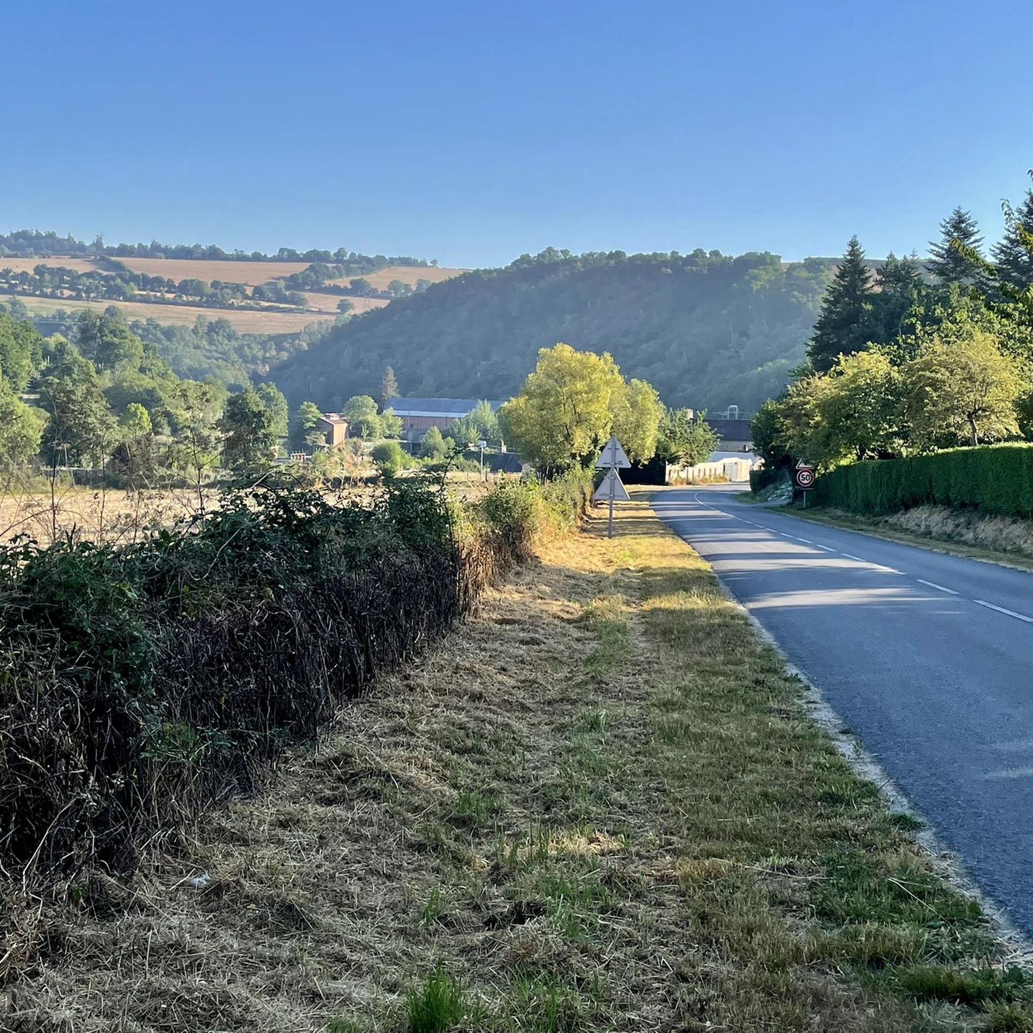
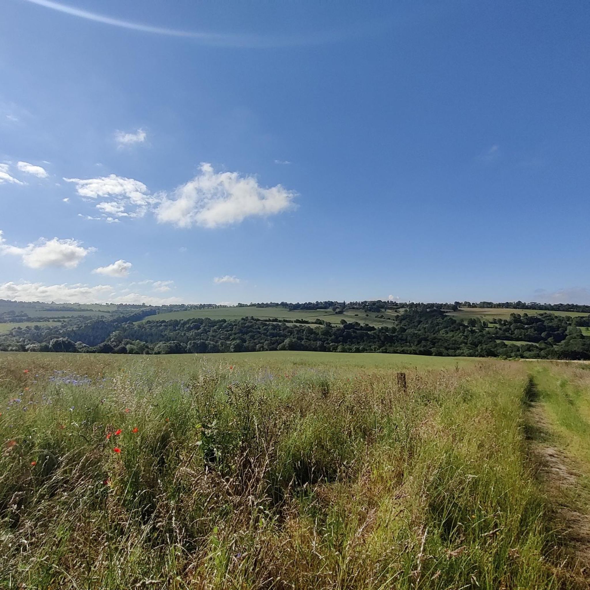
Gravel biking around Pierrefitte-En-Cinglais offers routes through the distinctive topography of Suisse Normande, characterized by significant elevation changes from 43 to 300 meters. The region features a hilly landscape with varied terrain, including deep valleys, gorges carved by the Orne River, and densely wooded slopes. Numerous streams crisscross the area, contributing to a rich natural environment well-suited for diverse gravel bike trails. This varied landscape provides a mix of paved and unpaved surfaces, with routes often including considerable elevation gains.
…Last updated: July 5, 2026
12
riders
55.2km
04:02
1,010m
1,010m
Hard gravel ride. Very good fitness required. Mostly paved surfaces. Suitable for all skill levels.
4.0
(2)
8
riders
24.3km
01:54
440m
440m
Moderate gravel ride. Good fitness required. Mostly paved surfaces. Suitable for all skill levels.

Sign up for free
4.0
(1)
8
riders
44.3km
03:33
840m
850m
Hard gravel ride. Very good fitness required. Mostly paved surfaces. Suitable for all skill levels.
5
riders
34.5km
02:56
710m
710m
Hard gravel ride. Very good fitness required. Mostly paved surfaces. Suitable for all skill levels.
3
riders
Hard gravel ride. Very good fitness required. Mostly paved surfaces. Suitable for all skill levels.
Our route recommendations are based on thousands of hikes, rides, and runs completed by other people on komoot.
Start today with a free account
Your next adventure awaits.
Login or Signup
Tips from the Community

After this pretty bridge, a very difficult climb even on foot
0
0

For those who are fond of mountainous landscapes in Normandy: the Suisse Normande.
0
0

a great cycle path through the railway tunnel - the tunnel is beautifully lit.
0
0
A rest area at the train station. There's more than just tables and benches here, plus a nice place to linger.
0
0


The most beautiful landscapes of Swiss Normandy
0
0

a passage between two rock walls just after the Orne
0
0
Frequently Asked Questions
What kind of terrain can I expect on gravel bike trails around Pierrefitte-En-Cinglais?
The gravel bike trails around Pierrefitte-En-Cinglais are characterized by the distinctive topography of Suisse Normande. You'll encounter a hilly landscape with significant elevation changes, ranging from 43 to 300 meters. Routes often feature a mix of paved and unpaved surfaces, including river valleys, verdant areas, and natural stone constructions, providing a diverse and engaging ride.
How many gravel bike routes are available in the Pierrefitte-En-Cinglais area?
There are over 4 gravel bike routes available around Pierrefitte-En-Cinglais, offering a variety of experiences for different skill levels. These routes are highly rated by the komoot community, with an average score of 4.5 stars.
Are there any challenging gravel bike routes for experienced riders?
Yes, the region offers several challenging routes. For instance, the Orne Bay – Sainte-Anne Viaduct loop from Thury-Harcourt is a difficult 93.5 km path that provides extensive views of river valleys and the unique landscape of Suisse Normande. Another difficult option is the The lair of Thury Harcourt – Castle of the Dukes of Harcourt loop from Thury-Harcourt, covering over 51 km with significant elevation.
What are some scenic viewpoints or natural attractions I can see while gravel biking?
The Suisse Normande region is known for its rugged beauty and natural sites. Along your rides, you might encounter impressive viewpoints like La Roche d'Oëtre, which offers spectacular panoramas. The area also features the Clécy Viaduct and the Rochers des Parcs, providing picturesque backdrops for your gravel biking adventures.
Are there any historical landmarks or castles accessible from the gravel bike trails?
Yes, the region has historical points of interest. You can find castles such as the Château d'Harcourt, Château Ganne, and Château de la Pommeraye in the vicinity. Some routes, like the The lair of Thury Harcourt – Castle of the Dukes of Harcourt loop from Thury-Harcourt, specifically incorporate these historical sites into the ride.
What is the best time of year for gravel biking in Pierrefitte-En-Cinglais?
The varied terrain of Suisse Normande makes it suitable for gravel biking across multiple seasons. While specific weather conditions vary, spring and autumn generally offer pleasant temperatures and vibrant landscapes. The region's hilly nature means routes can be enjoyed as long as conditions are not excessively wet or icy.
What do other gravel bikers enjoy most about the trails in Pierrefitte-En-Cinglais?
The area is highly rated by the komoot community, with an average score of 4.5 stars from over 10 reviews. Reviewers often praise the diverse terrain, the significant elevation changes that offer a good workout, and the scenic beauty of the river valleys and natural stone constructions characteristic of Suisse Normande.
Are there any loop routes available for gravel biking?
Yes, many of the gravel routes in the area are loops. For example, the Charming panorama – Le Pont des Vers loop from Pont-d'Ouilly is a 24.3 km trail that takes you through hilly terrain and natural stone constructions, perfect for a circular ride.
Can I find places to eat or drink near the gravel bike trails?
While specific establishments directly on every trail are not listed, the region of Suisse Normande, including towns like Pont-d'Ouilly and Thury-Harcourt which serve as starting points for many routes, offers various cafes, pubs, and restaurants where you can refuel after your ride. Pierrefitte-En-Cinglais itself is a small commune, but nearby larger villages will have options.
What kind of elevation changes should I expect on the gravel routes?
The gravel routes in Pierrefitte-En-Cinglais and the wider Suisse Normande region are known for significant elevation changes. The topography ranges from 43 to 300 meters, meaning you can expect considerable climbs and descents, providing a good challenge and rewarding views. For example, the Clécy Viaduct – Clécy loop from Pont-d'Ouilly features over 1000 meters of elevation gain.
Are there any routes that follow river valleys?
Yes, the region is crisscrossed by several streams and the Orne River, enhancing the scenic beauty and providing opportunities for waterside routes. The Orne Bay – Sainte-Anne Viaduct loop from Thury-Harcourt offers extensive views of river valleys, showcasing the rich natural environment of the area.
Most popular routes around Pierrefitte-En-Cinglais
Most popular attractions around Pierrefitte-En-Cinglais

Get inspired with the komoot mobile app


Explore more
Browse the best Gravel rides in other regions.
